Cougar Creek Loop
Total Miles
6.4
Technical Rating
Best Time
Spring, Summer, Fall
Trail Type
Full-Width Road
Accessible By
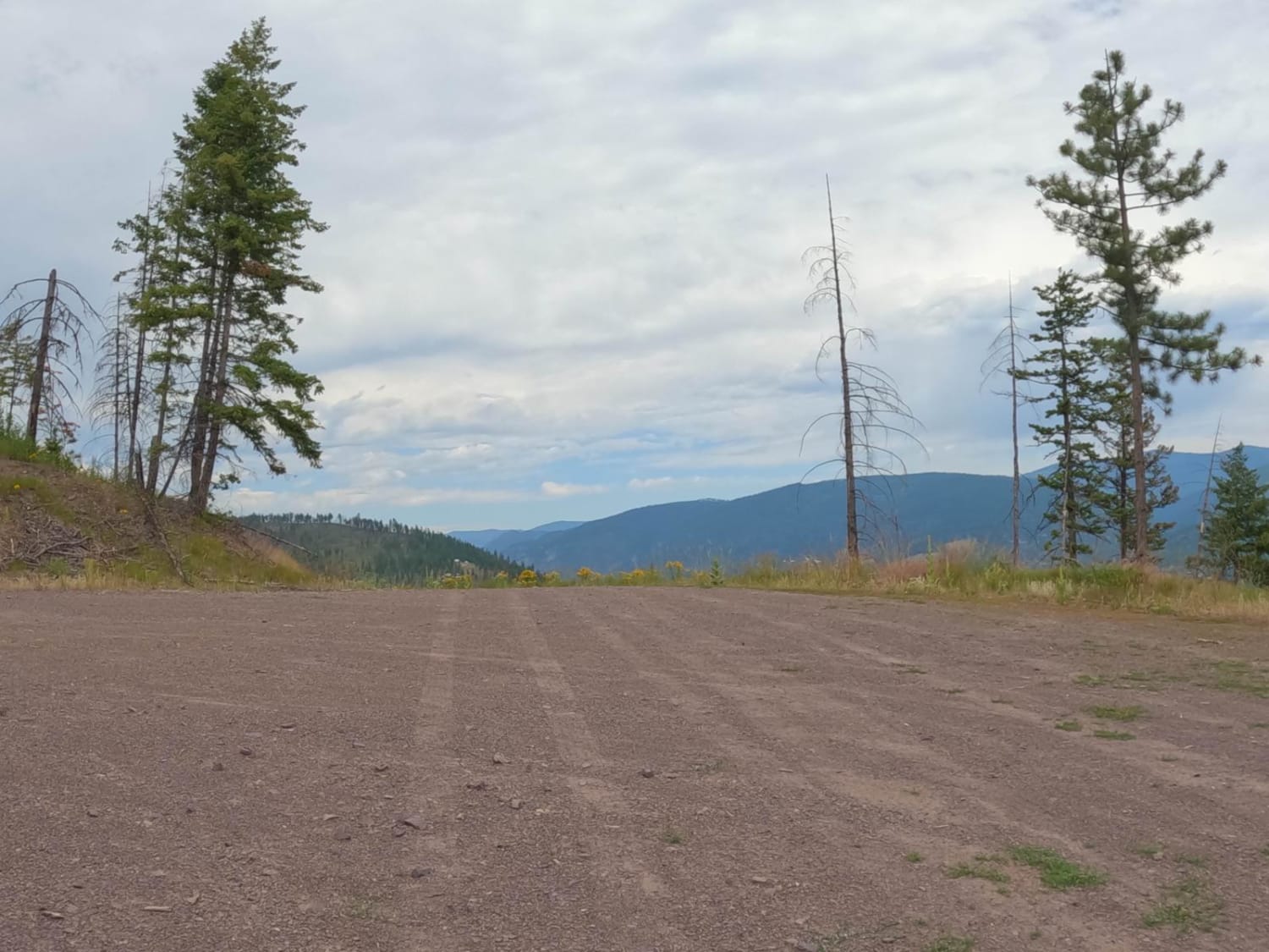
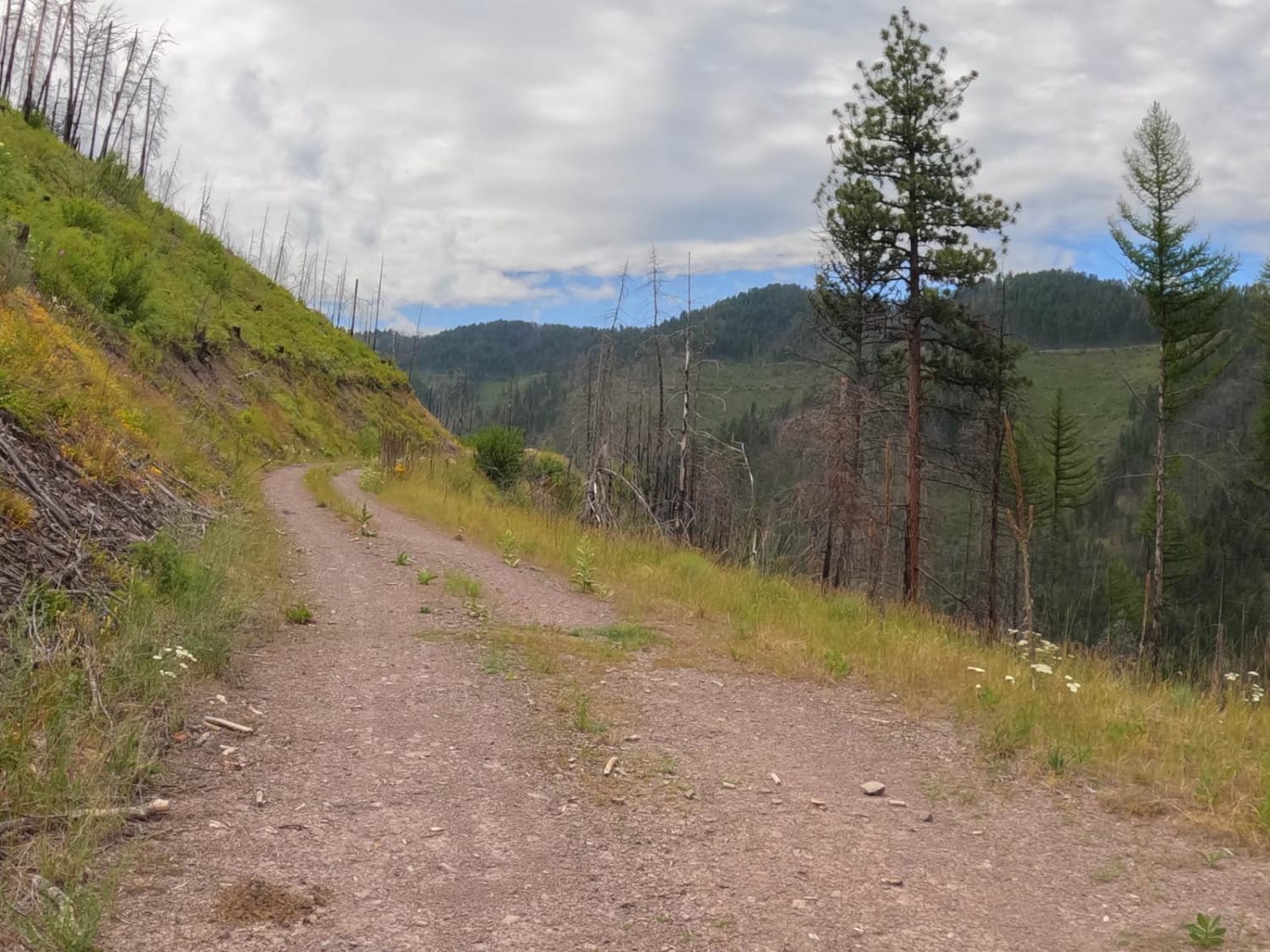
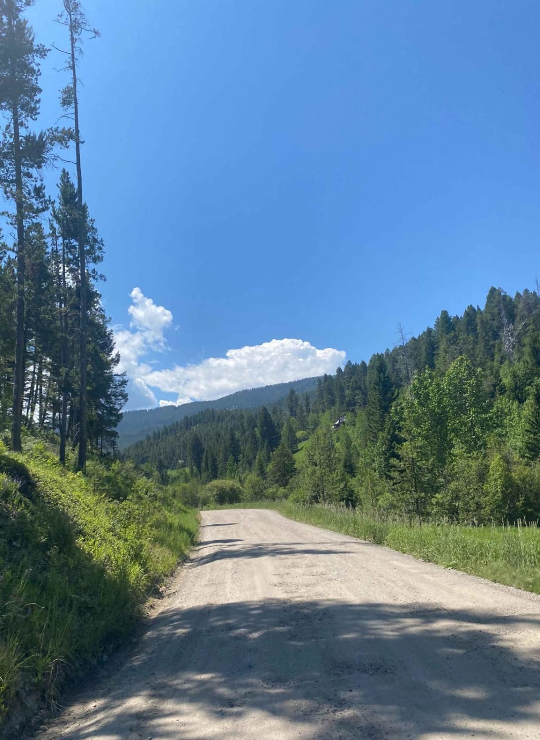
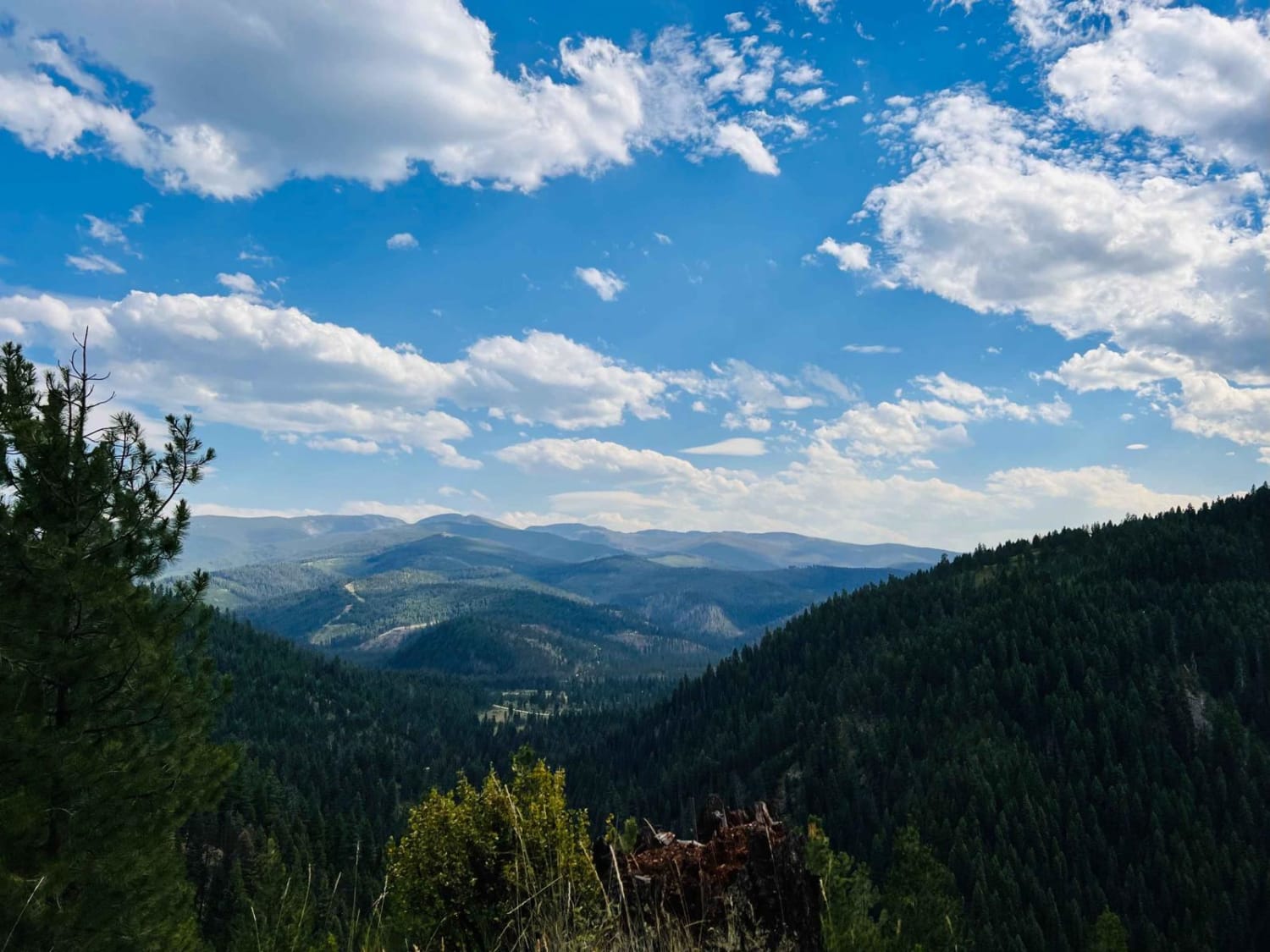
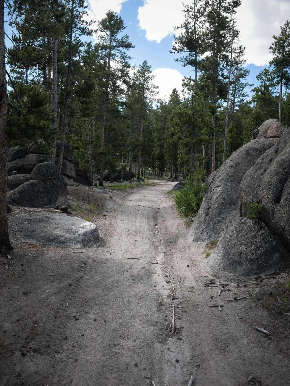
Trail Overview
This route begins and ends off the Verde Creek Road. The route is mainly gravel with loose rock which makes up a one-vehicle wide road. There are parts of the route where passing another vehicle is possible. Most of the route has very steep embankments that pass through areas of burnt-out timber. The route begins around 4000' and makes its way to 5400'. Most of the route is very scenic looking high over the Lolo National Forest. St. John's Wort is plentiful along the route.
Photos of Cougar Creek Loop
Difficulty
The route is made up mostly of one lane with steep bank on both sides of the route. Offline maps of the area are needed on some parts of the route. Dust could be a problem for groups traveling the route during dry conditions
Cougar Creek Loop can be accessed by the following ride types:
- High-Clearance 4x4
- SUV
- SxS (60")
- ATV (50")
- Dirt Bike
Cougar Creek Loop Map
Popular Trails
Goose Creek Trailhead
Moose Bush Ridge
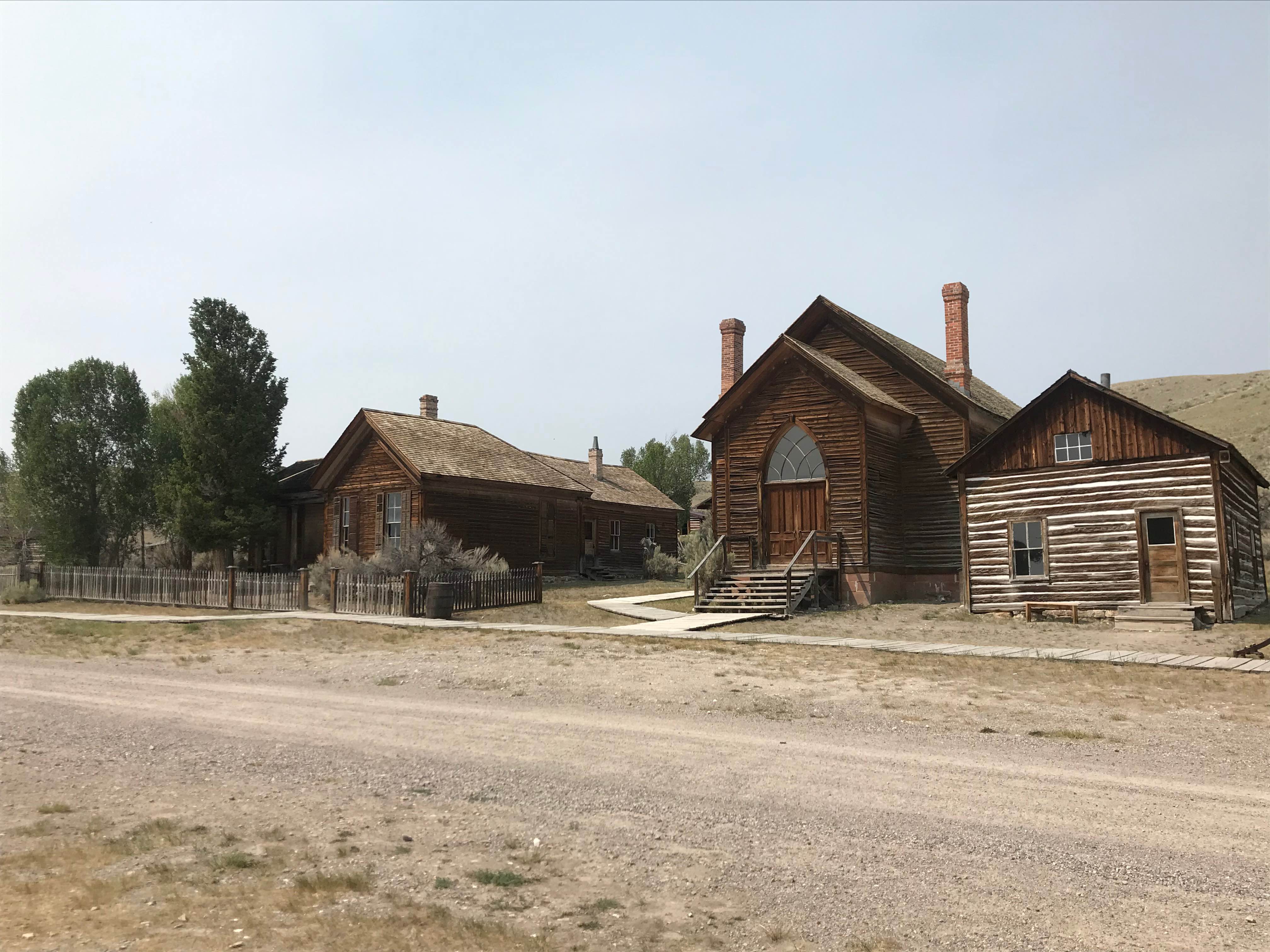
Bannock Pass and Bannack Ghost Town
The onX Offroad Difference
onX Offroad combines trail photos, descriptions, difficulty ratings, width restrictions, seasonality, and more in a user-friendly interface. Available on all devices, with offline access and full compatibility with CarPlay and Android Auto. Discover what you’re missing today!