Micayune Gulch - FSR 1577
Total Miles
7.8
Technical Rating
Best Time
Spring, Summer, Fall
Trail Type
Full-Width Road
Accessible By
Trail Overview
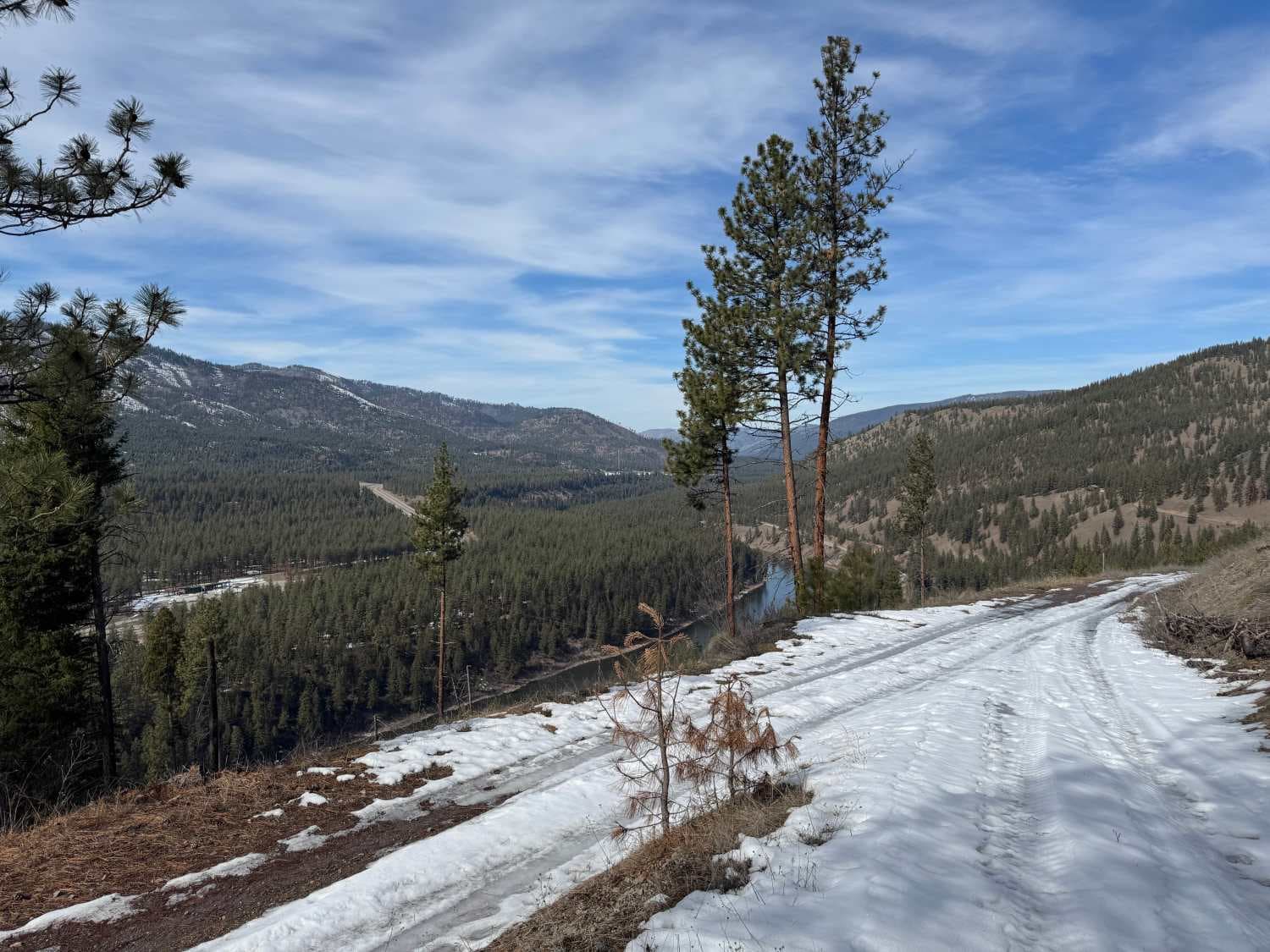
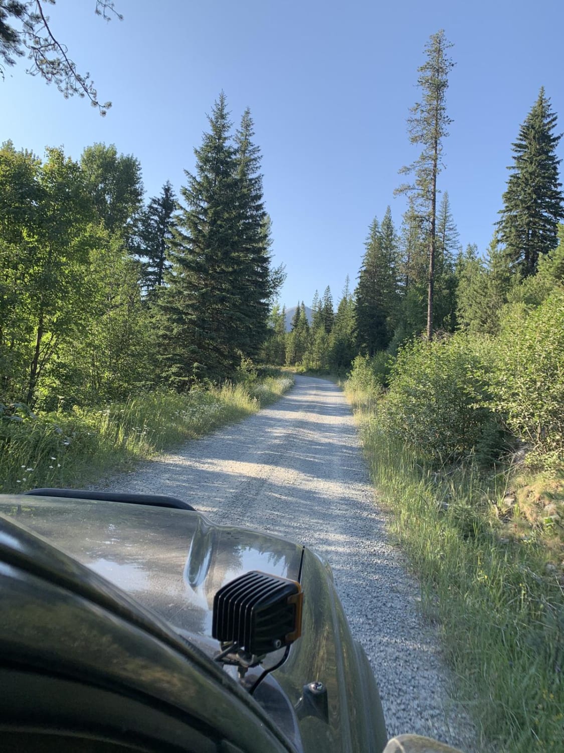
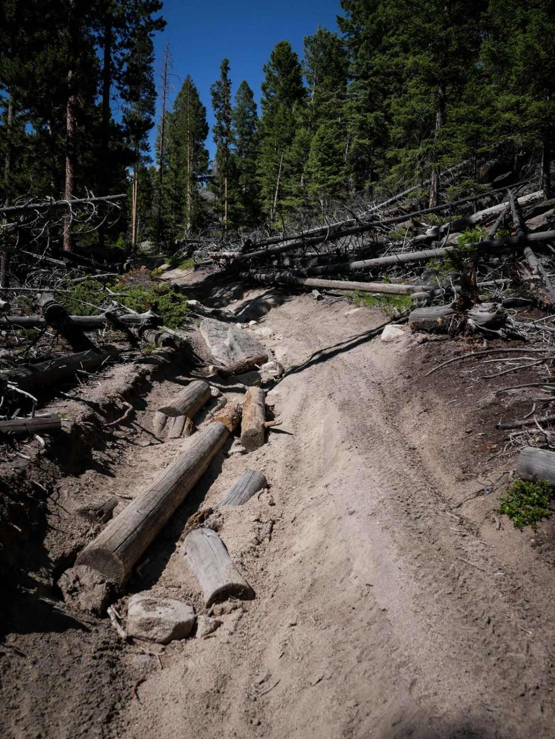
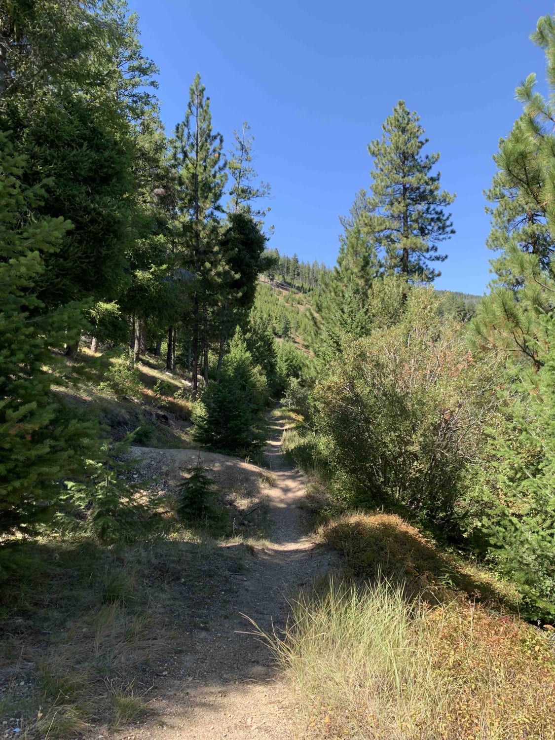
It's a nice, leisurely Sunday afternoon drive opportunity. This trail starts at Nemote Creek- 454 and appears private, but it is not. At 1.5 miles, you can choose to stay left, take a shortcut, or bare right going uphill. This wraps you around a short hill about 2.25 miles. Continuing, you will see a nice overlook of I90, the Clark Fork, and the Quartz Flat campground and rest stop. From here, there is a short but steep uphill section with some muddy (spring) ruts, which is the most challenging aspect of this trail. Shortly after, you enter the Micayune Gulch area, where the forest changes from an open pine forest to one enclosed with Douglas-fir and some Hemlock. The trail continues winding around the gulch before opening into a pine composition. Wild turkeys are abundant in this area, with some whitetail and mule deer sightings. The trail ends at Mullan Rd East after crossing some rail tracks. This is a tremendous leisurely afternoon cruise, but it can be heavy with dirt bikes and quads during the summer. There are a few good camp spots with a rock pit for shooting. Picayune Gulch offers relief in the summer heat. Spring travel during snowmelt is possible, but several sections get very icy and may have severe consequences.
Photos of Micayune Gulch - FSR 1577

Difficulty
This trail is passable by any 4x4 in summer. Shoulder season travel requires a vehicle capable of several inches of snow and ice. There is one rutted area with ruts about 1 foot deep, and 6" rocks at the end of the trail which can be very muddy and slippery when wet. There are several areas to pass, but much of the trail is single vehicle only, which would require one vehicle to back-up if approaching head-on.
Status Reports
Micayune Gulch - FSR 1577 can be accessed by the following ride types:
- High-Clearance 4x4
- SUV
- SxS (60")
- ATV (50")
- Dirt Bike
Micayune Gulch - FSR 1577 Map
Popular Trails
Mount Marston Lookout
Cow Creek Road and Shiefman Hiking Trail
The onX Offroad Difference
onX Offroad combines trail photos, descriptions, difficulty ratings, width restrictions, seasonality, and more in a user-friendly interface. Available on all devices, with offline access and full compatibility with CarPlay and Android Auto. Discover what you’re missing today!