McCabe Creek
Total Miles
3.8
Technical Rating
Best Time
Summer, Fall
Trail Type
Full-Width Road
Accessible By
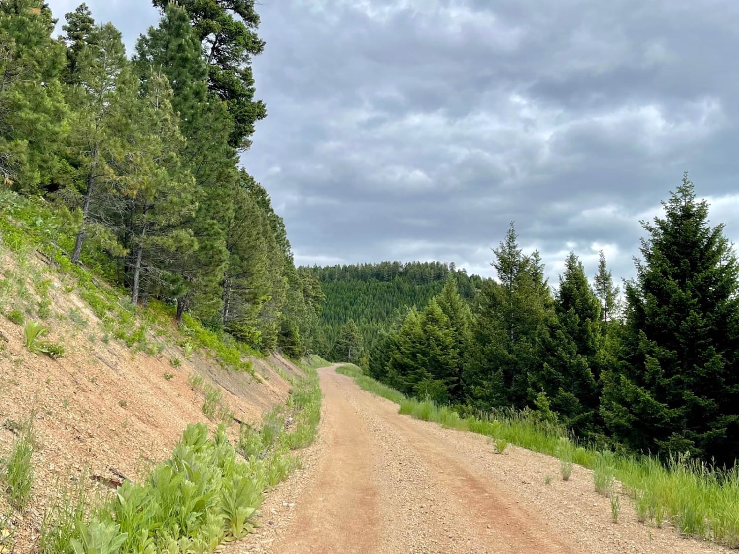
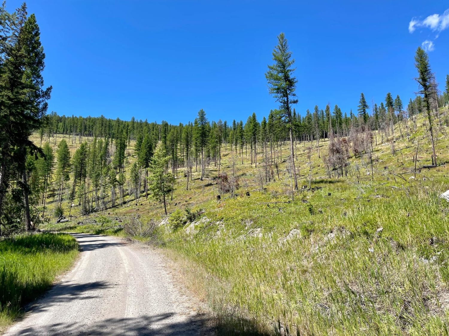
Trail Overview
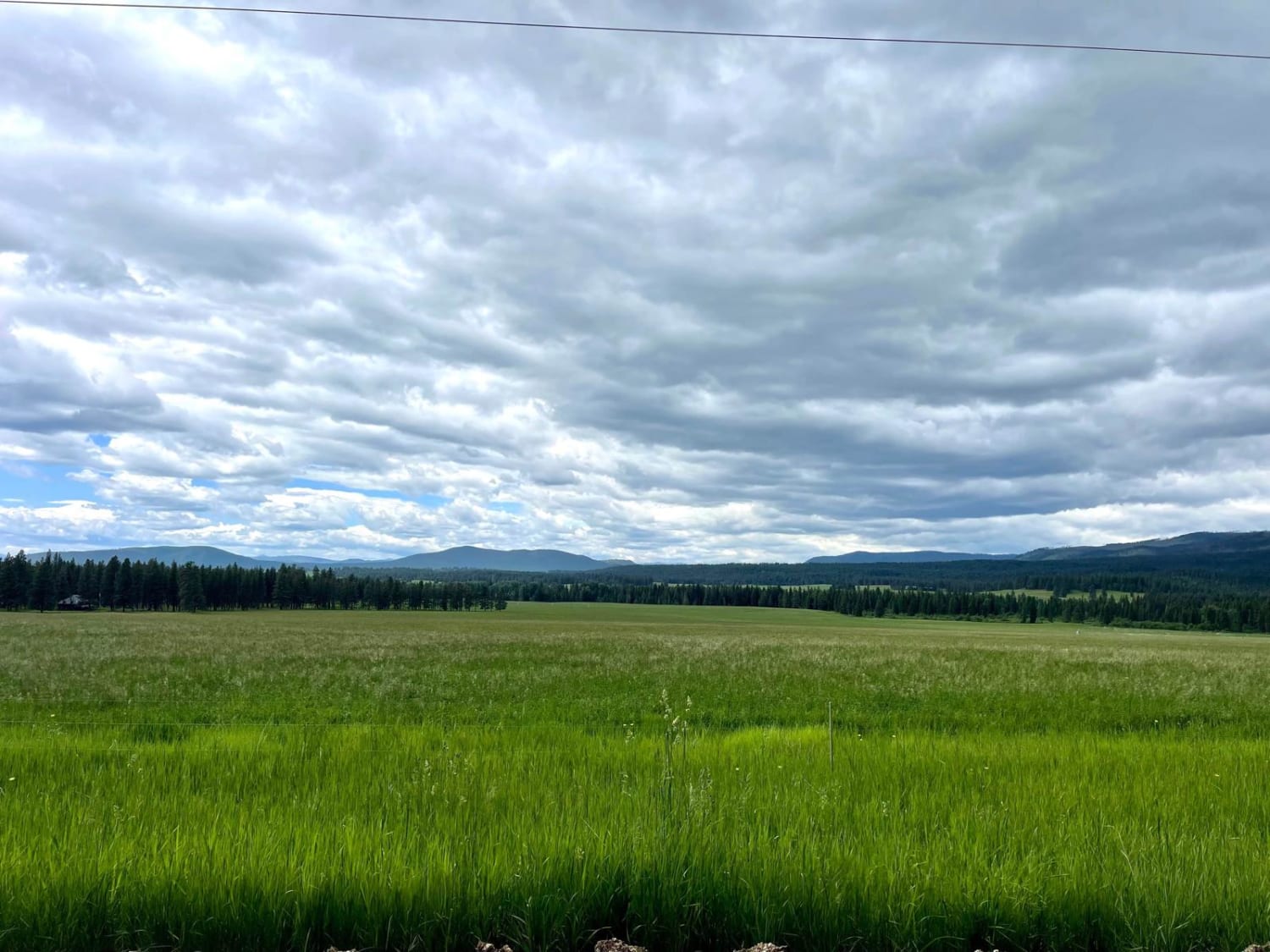
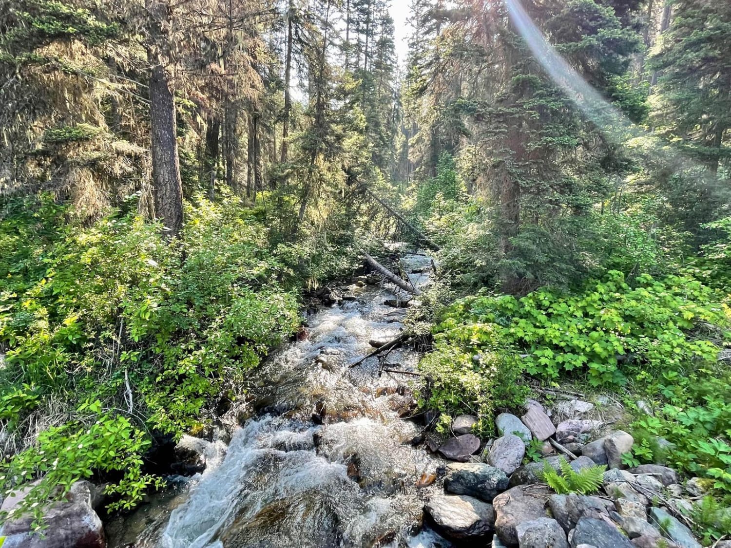
This narrow trail heads from the valley up into the hills providing access to the McCabe hiking trail. This is the more traveled and smoother way to access the hiking trail. The driving trail does narrow in some parts but has ample pullouts for oncoming traffic. There are a few offshoot trails where one might be able to find a spot to camp. A large flat parking area at the beginning of the McCabe Loop trail could be used for camping before heading out to hike. Overall the trail is in decent condition, with a few deep potholes. Keep your eyes peeled in the forests for Bear Flowers. There is even the chance you might see a bear in the area. Proper food containers must be used when camping in the area or keep all food inside an enclosed vehicle. The road ends at a locked gate where one can park and continue on foot to McCabe PT TR 365. There is no cell service back here so plan ahead with your offline maps.
Photos of McCabe Creek
Difficulty
This trail is mostly one vehicle wide but has adequate areas to pull off and allow oncoming traffic to pass. Expect to navigate potholes in the trail.
Status Reports
McCabe Creek can be accessed by the following ride types:
- High-Clearance 4x4
- SUV
- SxS (60")
- ATV (50")
- Dirt Bike
McCabe Creek Map
Popular Trails
Wild Bill Saddle

Canyon Creek Trail

Golden Trout Lakes #83
Morrell- Clearwater Lake
The onX Offroad Difference
onX Offroad combines trail photos, descriptions, difficulty ratings, width restrictions, seasonality, and more in a user-friendly interface. Available on all devices, with offline access and full compatibility with CarPlay and Android Auto. Discover what you’re missing today!