Guide Saddle
Total Miles
2.4
Technical Rating
Best Time
Fall, Summer, Spring
Trail Type
Full-Width Road
Accessible By
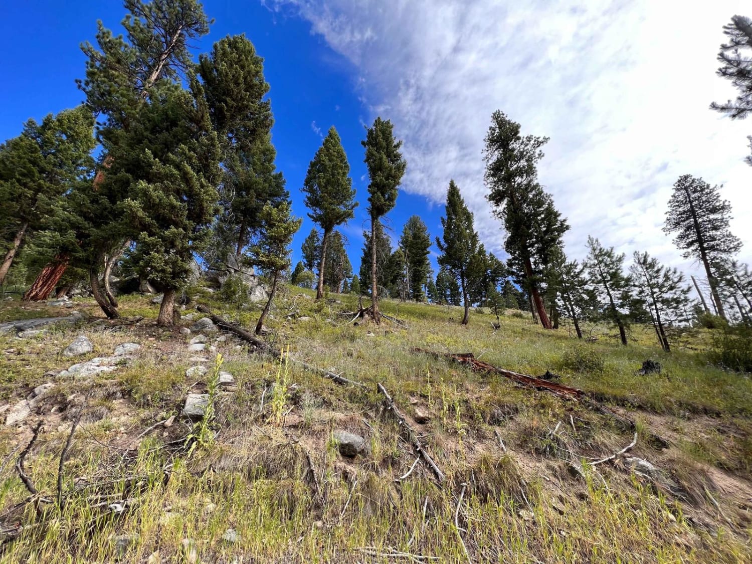
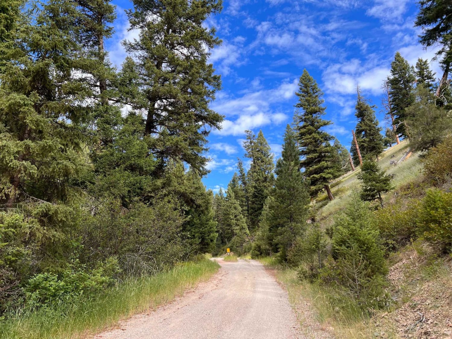
Trail Overview
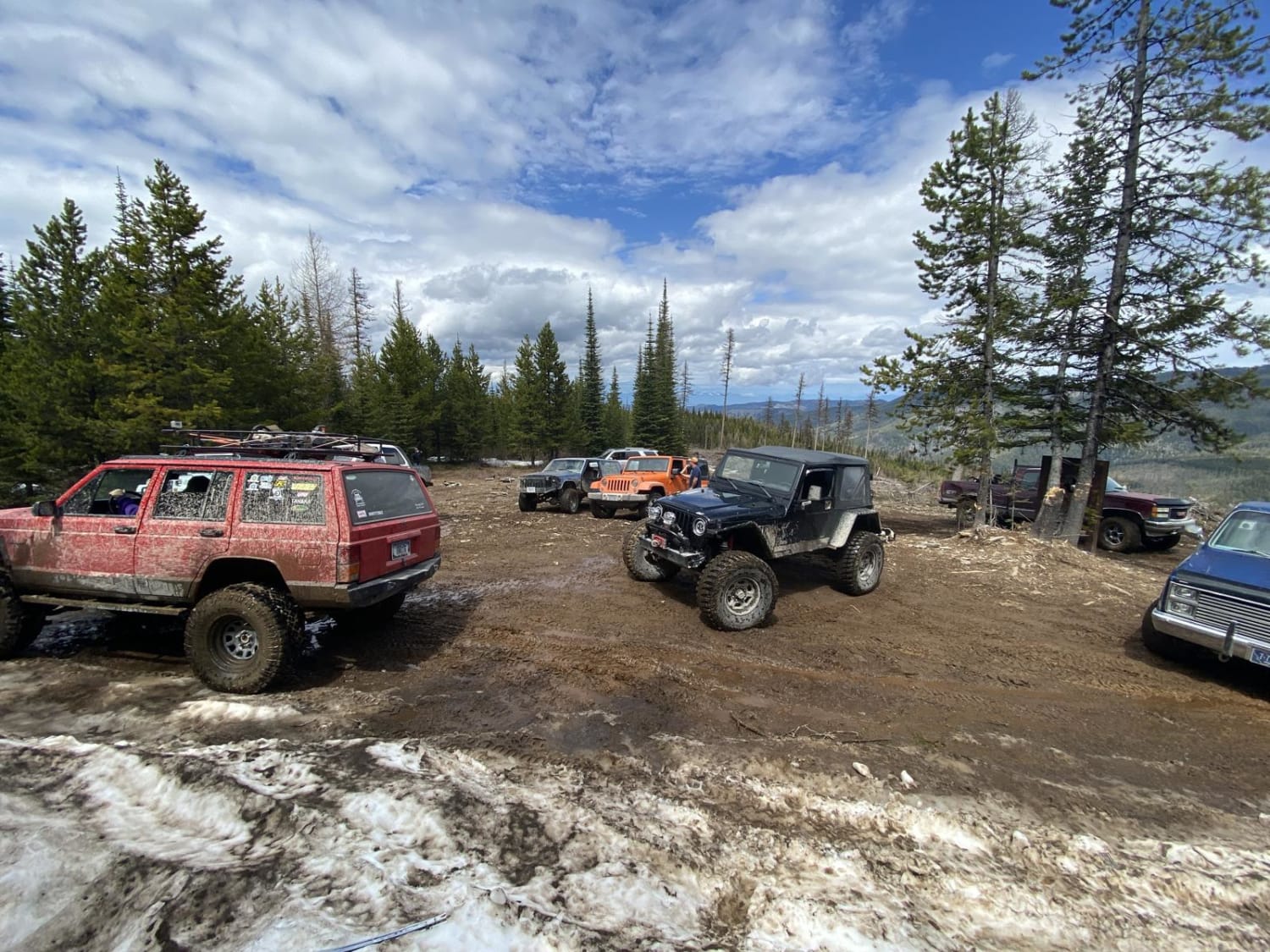
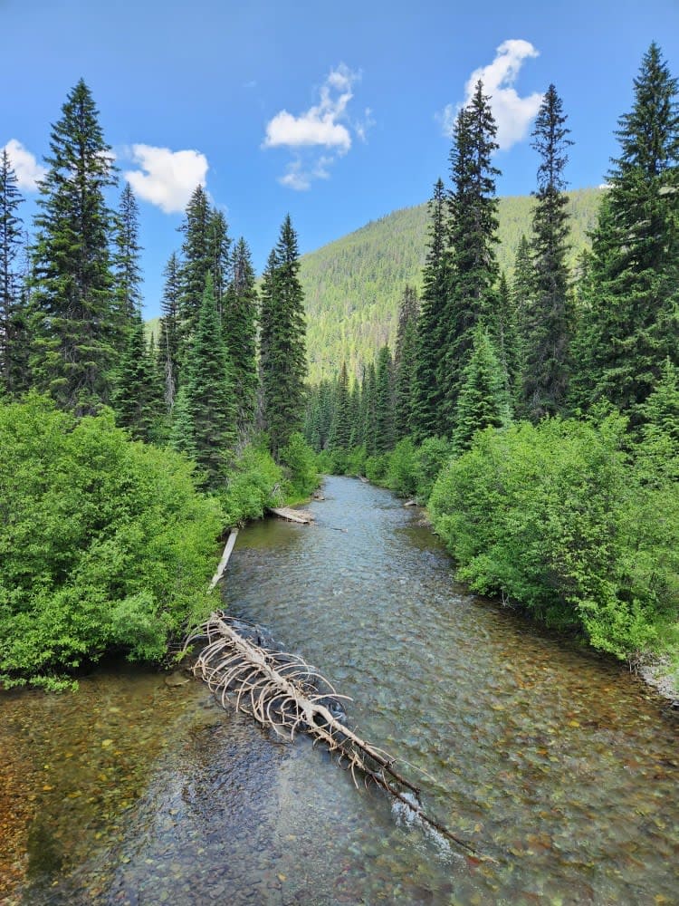
This trail is more of an access trail to other networks of trails than an exciting trail to a saddle. The trail starts as gravel and gradually transitions to dirt as it slowly gains some elevation. It is wider overall but narrow enough that a vehicle must pull off to allow another to pass. The views can be seen on the way down, but the way up is lined with tall trees. Once at the saddle, there is another network of trails; however, the initial offshoots at the top have locked gates. Pick up the Blue Mountain Connection trail from the saddle, and most of the trails off of that have open gates. One dispersed campsite is at the top of the saddle in the grassy field. No view, though. Also, no winter maintenance or cell service out here.
Photos of Guide Saddle
Difficulty
Mostly wide, gravel becomes dirt, oncoming will have to pull into bushes to pass.
Status Reports
Guide Saddle can be accessed by the following ride types:
- High-Clearance 4x4
- SUV
- SxS (60")
- ATV (50")
- Dirt Bike
Guide Saddle Map
Popular Trails

BLM 9 (Dry Creek Single Track)
Blacktail Wild Bill OHV Trail
Coal Creek to Dead Horse #317
The onX Offroad Difference
onX Offroad combines trail photos, descriptions, difficulty ratings, width restrictions, seasonality, and more in a user-friendly interface. Available on all devices, with offline access and full compatibility with CarPlay and Android Auto. Discover what you’re missing today!