Coal Creek to Dead Horse #317
Total Miles
8.8
Technical Rating
Best Time
Summer, Fall
Trail Type
Full-Width Road
Accessible By
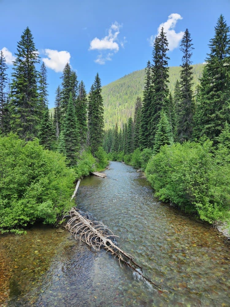
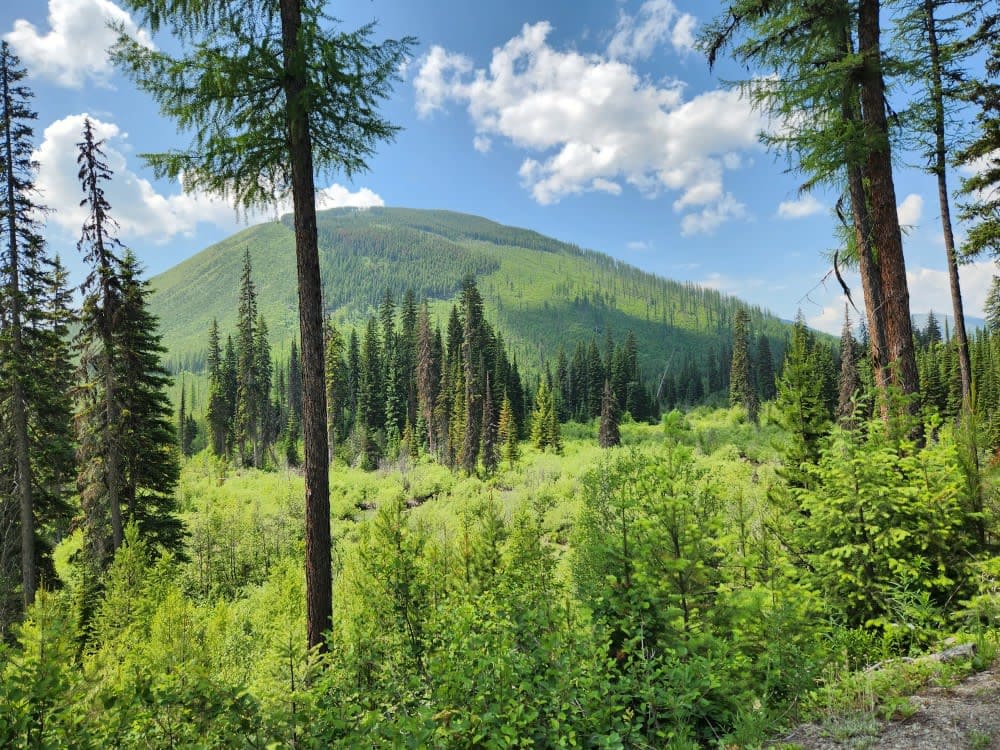
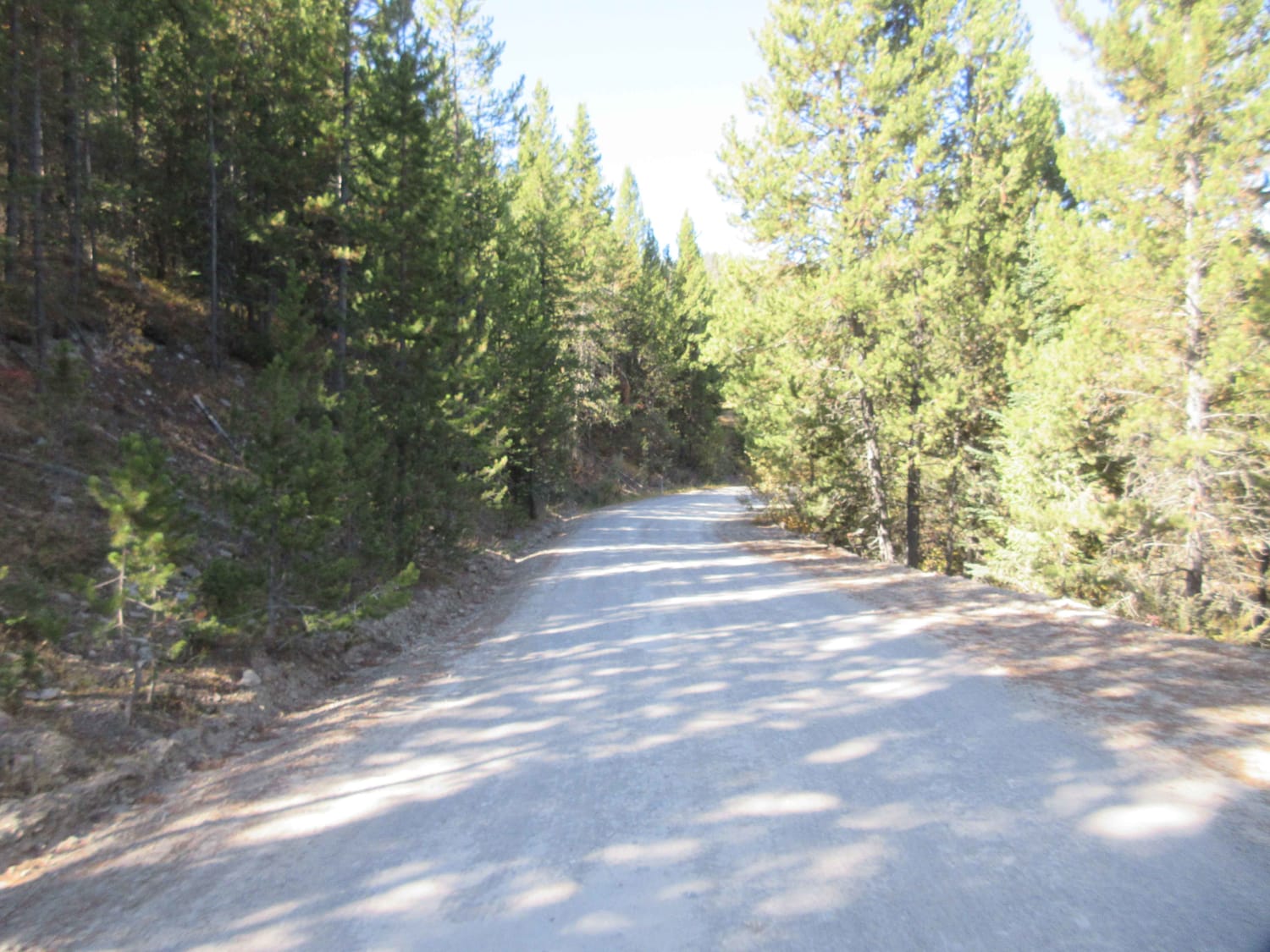
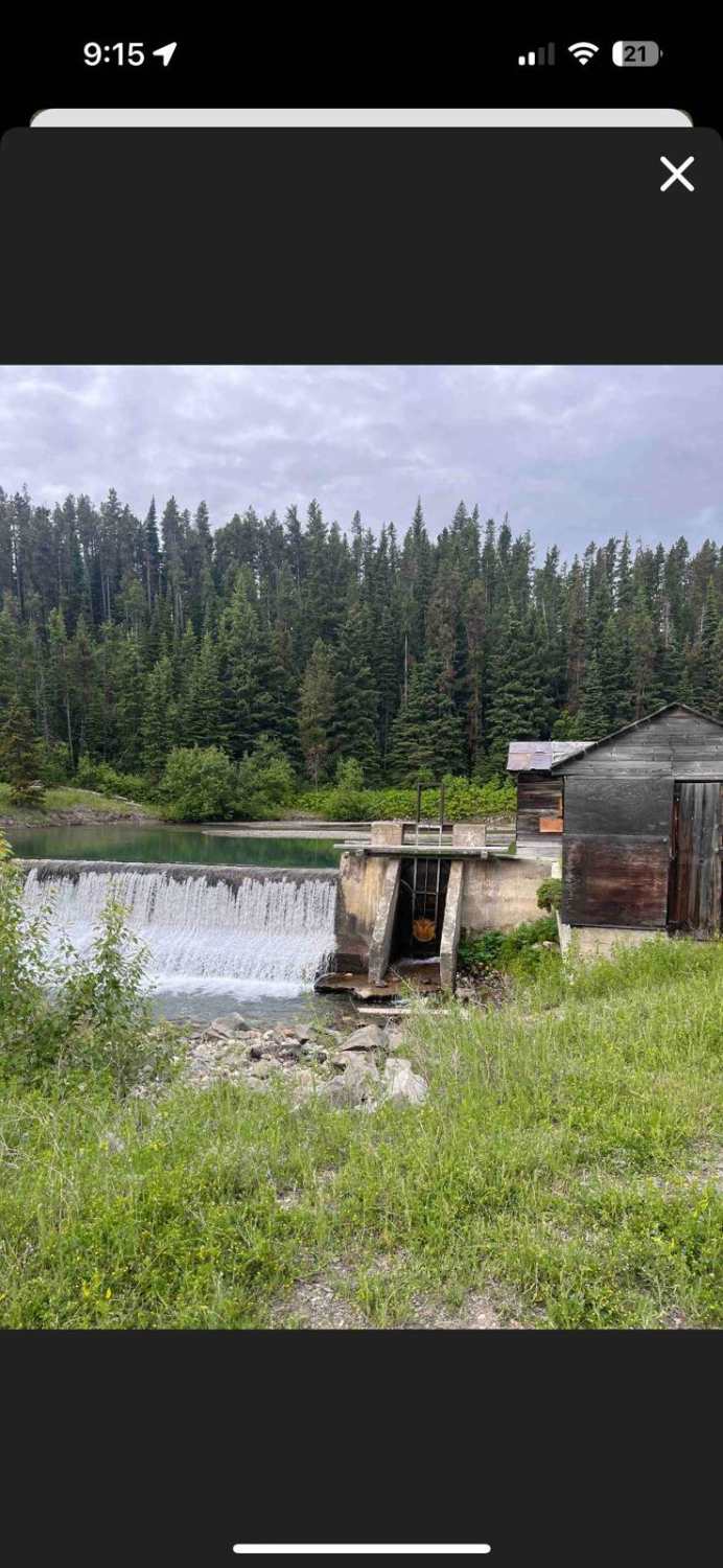
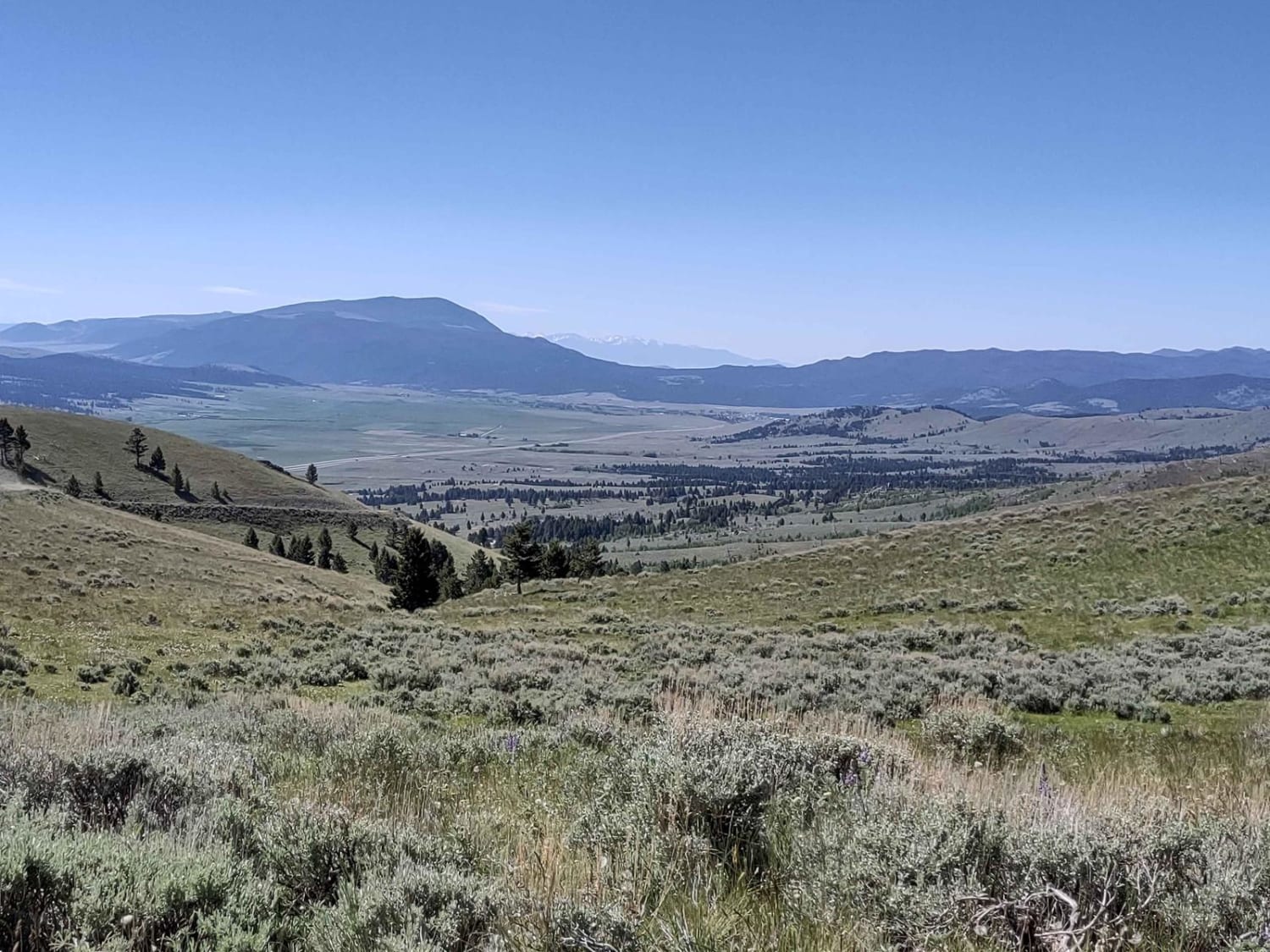
Trail Overview
Unmaintained gravel road through state forest with many cutoff roads/trails that go along with this area. Narrow bridge crossings and plenty of washboard rough spots increase the time it takes to go the little over 8 miles this road runs. You will not need a special vehicle to make it as far as Deadhorse, but some of the spurs should not be considered if you are exploring.
Photos of Coal Creek to Dead Horse #317
Difficulty
This trail is mostly loose gravel and easy to travel. Spurs are not in as good of condition as the main road.
Coal Creek to Dead Horse #317 can be accessed by the following ride types:
- High-Clearance 4x4
- SUV
- SxS (60")
- ATV (50")
- Dirt Bike
Coal Creek to Dead Horse #317 Map
Popular Trails

Standard Creek Rd w/Wolverine Basin
Comet/Mount Thompson Loop
The onX Offroad Difference
onX Offroad combines trail photos, descriptions, difficulty ratings, width restrictions, seasonality, and more in a user-friendly interface. Available on all devices, with offline access and full compatibility with CarPlay and Android Auto. Discover what you’re missing today!