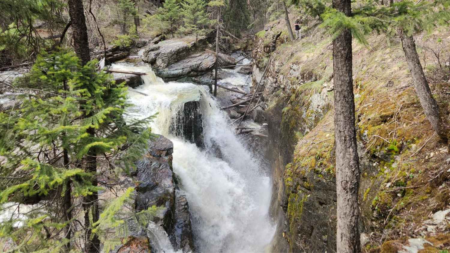
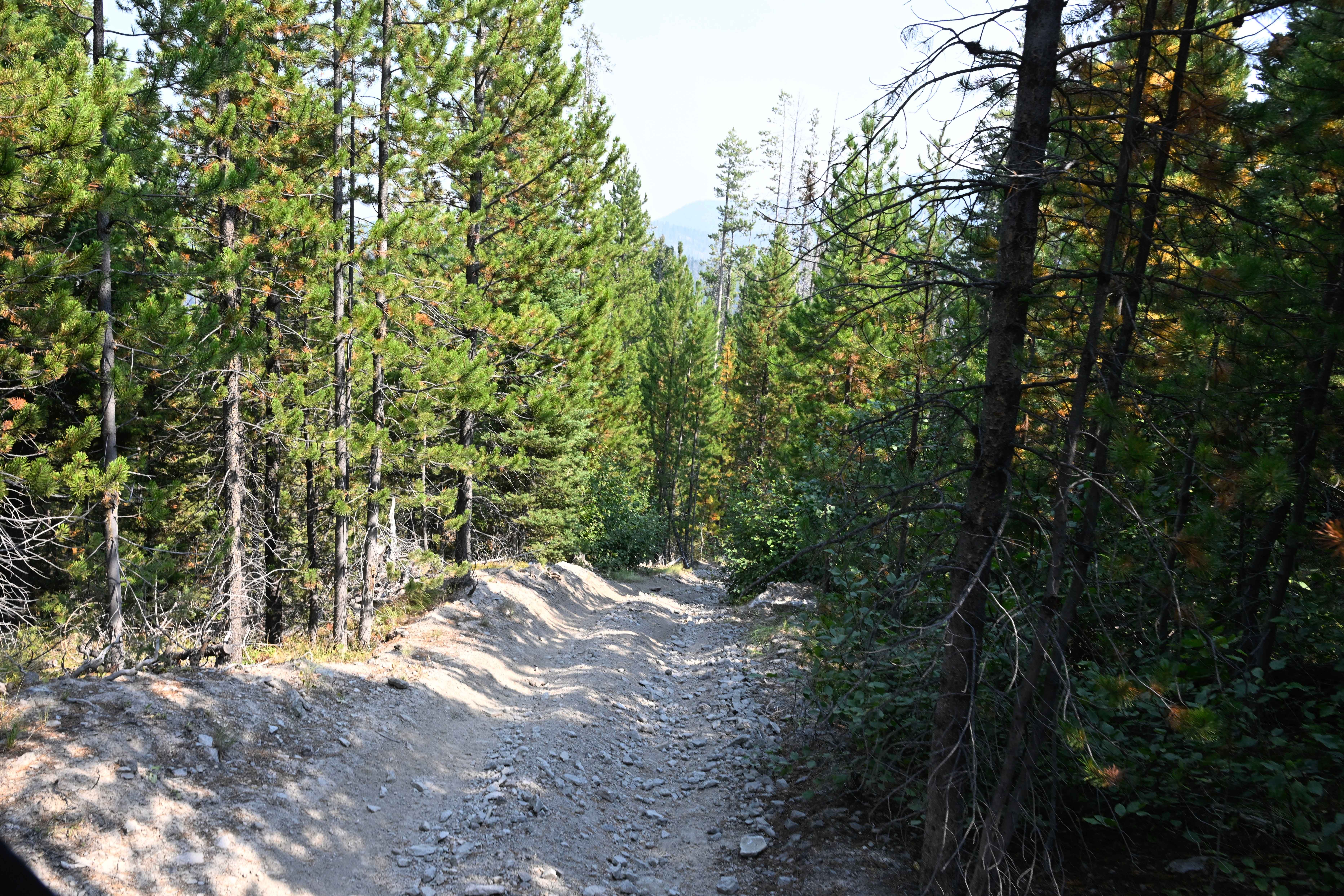
Off-Road Trails in Montana
Discover off-road trails in Montana
Learn more about Pilgrim Creek Trail
Pilgrim Creek Trail
Total Miles
9.1
Tech Rating
Moderate
Best Time
Fall, Summer, Spring
Learn more about Pinecones and Tall Grass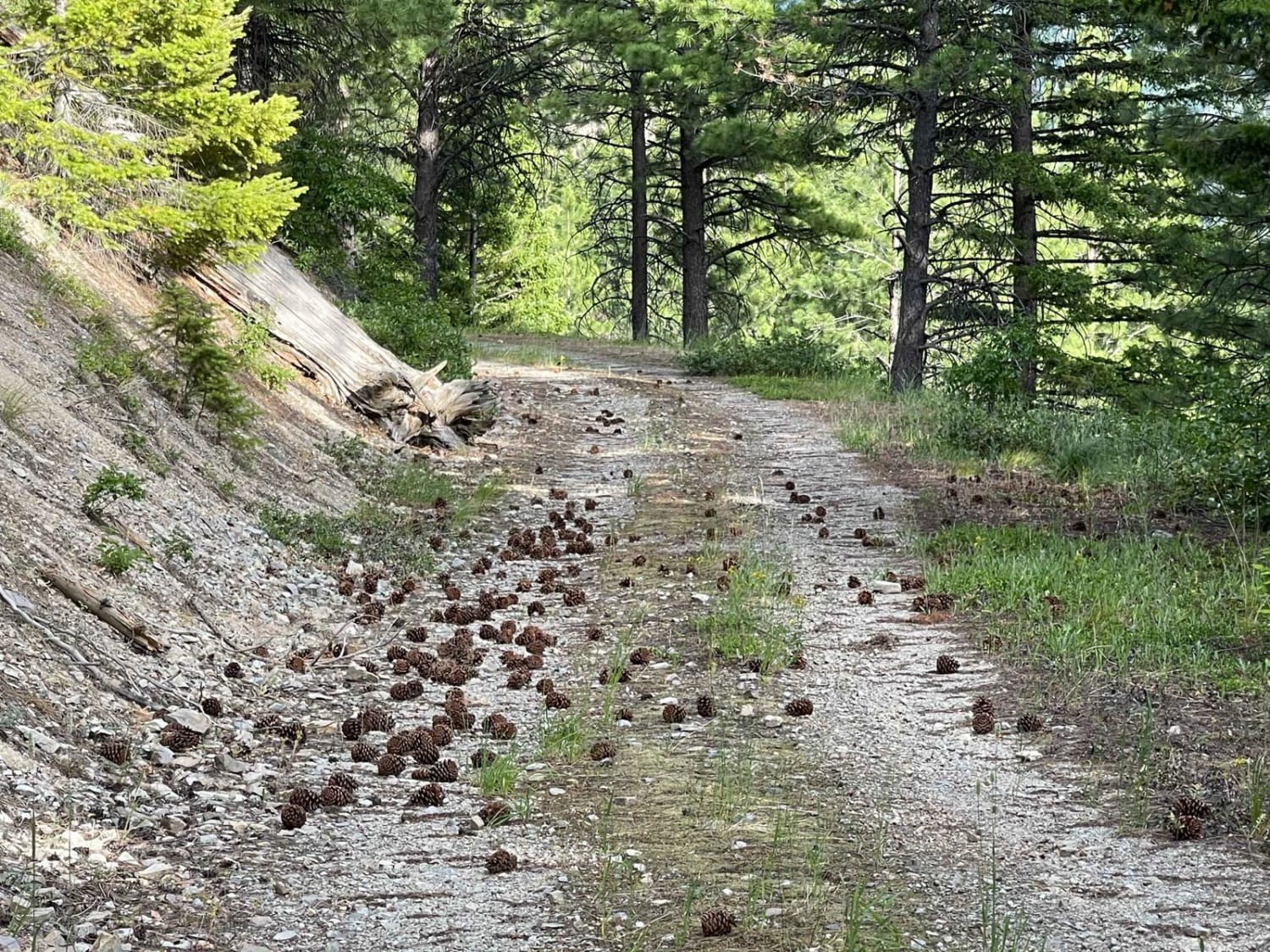
Pinecones and Tall Grass
Total Miles
3.4
Tech Rating
Easy
Best Time
Fall, Summer, Spring
Learn more about Piquett Creek Part 1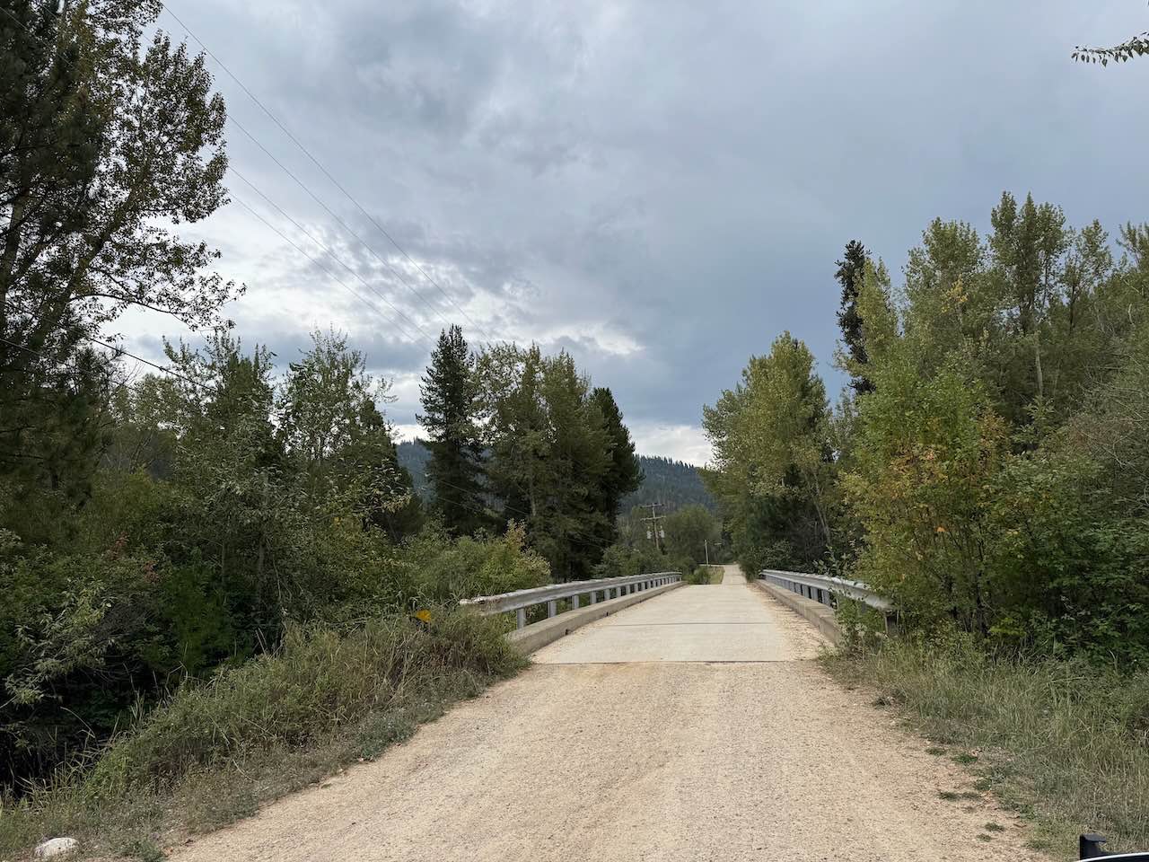
Piquett Creek Part 1
Total Miles
4.2
Tech Rating
Easy
Best Time
Summer, Spring, Fall

Learn more about Placid Creek Road
Placid Creek Road
Total Miles
4.3
Tech Rating
Easy
Best Time
Spring, Summer, Fall
Learn more about Point of Jefferson River Loop
Point of Jefferson River Loop
Total Miles
16.9
Tech Rating
Easy
Best Time
Summer, Fall, Spring
Learn more about Porcupine - FS 199 
Porcupine - FS 199
Total Miles
7.2
Tech Rating
Moderate
Best Time
Summer
Learn more about Porcupine Creek #34 
Porcupine Creek #34
Total Miles
5.7
Tech Rating
Moderate
Best Time
Summer
Learn more about Porcupine Saddle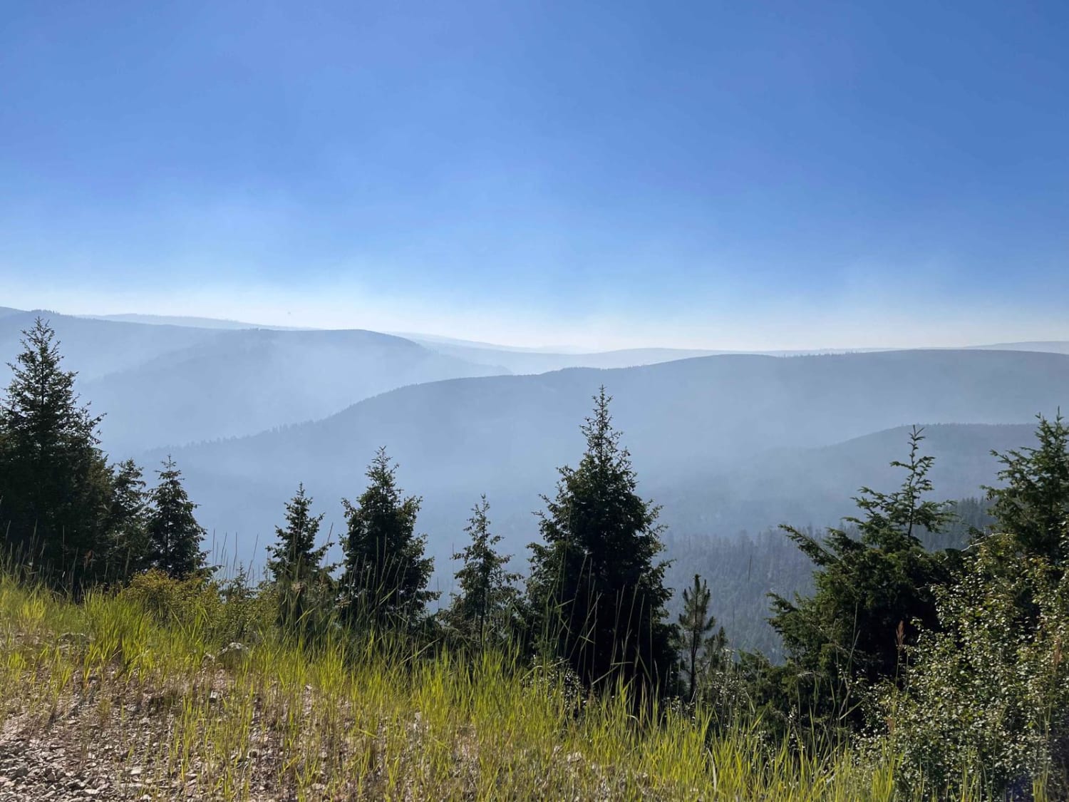
Porcupine Saddle
Total Miles
8.3
Tech Rating
Easy
Best Time
Fall, Summer, Spring
Learn more about Potosi Willow Creek
Potosi Willow Creek
Total Miles
14.3
Tech Rating
Easy
Best Time
Summer, Fall
Learn more about Powerline Road
Powerline Road
Total Miles
6.9
Tech Rating
Easy
Best Time
Spring, Summer, Fall, Winter
Learn more about Price Peet Road
Price Peet Road
Total Miles
11.5
Tech Rating
Easy
Best Time
Spring, Summer, Fall
Learn more about Prickly Pear to Tizer Lakes
Prickly Pear to Tizer Lakes
Total Miles
11.1
Tech Rating
Easy
Best Time
Summer
Learn more about Profiled Spur
Profiled Spur
Total Miles
1.5
Tech Rating
Easy
Best Time
Spring, Summer, Fall
Learn more about Pryor Mountain Road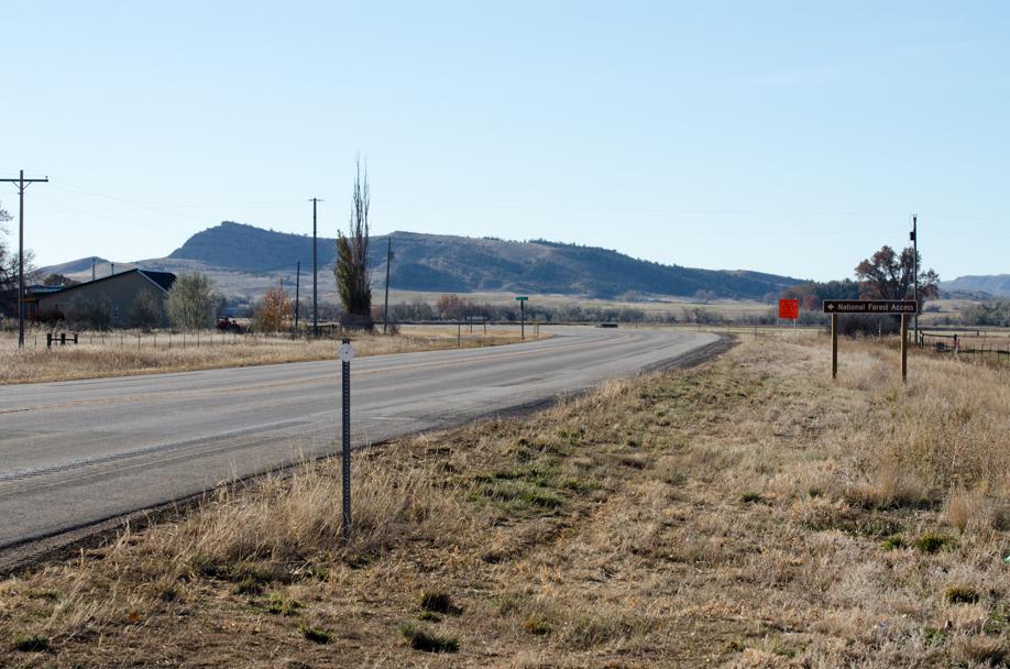
Pryor Mountain Road
Total Miles
12.2
Tech Rating
Easy
Best Time
Spring, Summer, Fall, Winter
Learn more about Pucker Pass to Whitetail Reservoir 
Pucker Pass to Whitetail Reservoir
Total Miles
5.4
Tech Rating
Moderate
Best Time
Spring, Summer, Fall
ATV trails in Montana
Learn more about $50,000 Silver Dollar Inn - FSR 288
$50,000 Silver Dollar Inn - FSR 288
Total Miles
7.5
Tech Rating
Easy
Best Time
Spring, Summer, Fall
Learn more about 2103 West Fork Gold Creek
2103 West Fork Gold Creek
Total Miles
5.7
Tech Rating
Easy
Best Time
Spring, Summer, Fall, Winter
Learn more about 4W-7736 - Big Flat Trail
4W-7736 - Big Flat Trail
Total Miles
3.6
Tech Rating
Easy
Best Time
Spring, Summer, Fall
Learn more about 4W-7829 - Mink Peak Jeep Trail
4W-7829 - Mink Peak Jeep Trail
Total Miles
4.4
Tech Rating
Easy
Best Time
Spring, Summer, Fall
UTV/side-by-side trails in Montana
Learn more about $50,000 Silver Dollar Inn - FSR 288
$50,000 Silver Dollar Inn - FSR 288
Total Miles
7.5
Tech Rating
Easy
Best Time
Spring, Summer, Fall
Learn more about 2103 West Fork Gold Creek
2103 West Fork Gold Creek
Total Miles
5.7
Tech Rating
Easy
Best Time
Spring, Summer, Fall, Winter
Learn more about 4W-7736 - Big Flat Trail
4W-7736 - Big Flat Trail
Total Miles
3.6
Tech Rating
Easy
Best Time
Spring, Summer, Fall
Learn more about 4W-7829 - Mink Peak Jeep Trail
4W-7829 - Mink Peak Jeep Trail
Total Miles
4.4
Tech Rating
Easy
Best Time
Spring, Summer, Fall
The onX Offroad Difference
onX Offroad combines trail photos, descriptions, difficulty ratings, width restrictions, seasonality, and more in a user-friendly interface. Available on all devices, with offline access and full compatibility with CarPlay and Android Auto. Discover what you’re missing today!