Poorman Creek
Total Miles
4.3
Technical Rating
Best Time
Summer, Fall
Trail Type
High-Clearance 4x4 Trail
Accessible By
Trail Overview
This is a reasonably rocky two-track connector trail that leads from Stemple Pass Road to Forest Service Road 485 just south of the intersection with Granite Butte Lookout. The idea was to find a bit more technical trail in the area than gravel Forest roads, and this one delivered. Fun, rocky two-track that meanders along the south fork of Poorman Creek, until the east side, where it climbs to meet with FS 485 and intersects just south of the access road to Granite Butte lookout. There are some good-sized rocks and several tight drop-offs to the creek below, but generally a good ride. Full-sized vehicles would be doable with a good driver, but it wouldn't be a recommendation.
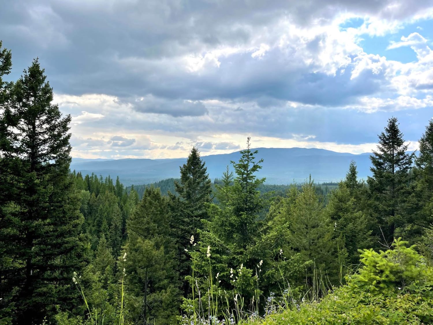
Photos of Poorman Creek
Difficulty
This trail includes a few tight passages that may be difficult for larger vehicles, but most of the route is easy to navigate.
Status Reports
Poorman Creek can be accessed by the following ride types:
- High-Clearance 4x4
- SxS (60")
- ATV (50")
- Dirt Bike
Poorman Creek Map
Popular Trails
Merrel Springs

Old Milwaukee Grade- FS 300-1
Upper Cave Gulch Road
Findell Creek
The onX Offroad Difference
onX Offroad combines trail photos, descriptions, difficulty ratings, width restrictions, seasonality, and more in a user-friendly interface. Available on all devices, with offline access and full compatibility with CarPlay and Android Auto. Discover what you’re missing today!