Upper Cave Gulch Road
Total Miles
2.2
Technical Rating
Best Time
Fall, Spring, Summer
Trail Type
Full-Width Road
Accessible By
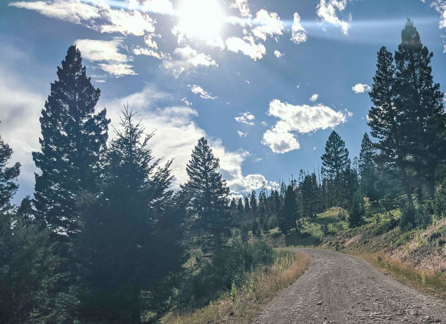
Trail Overview
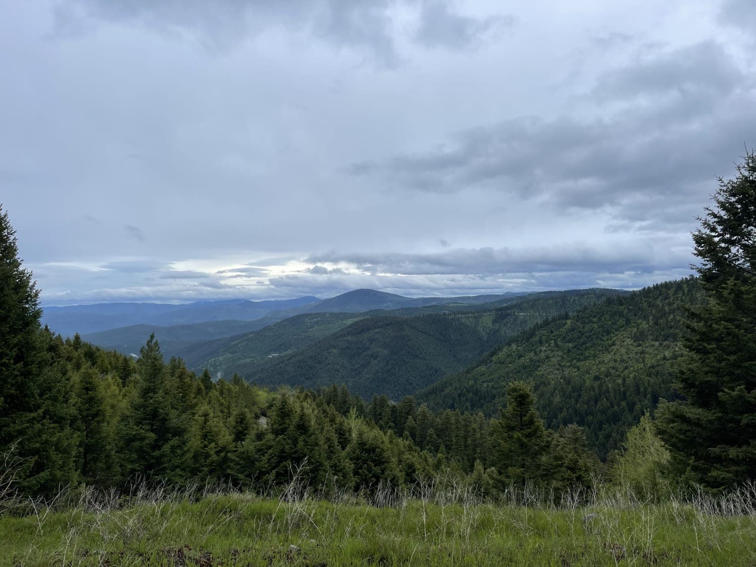
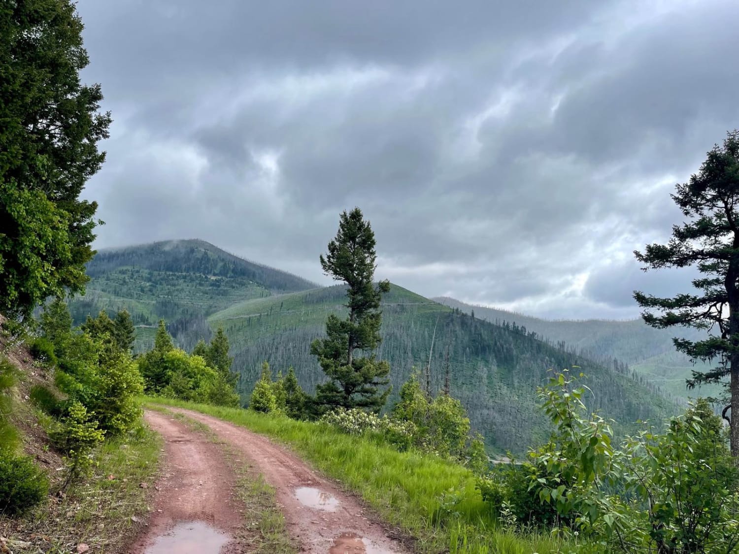
This narrow, short upper section leads into the hills to pass right by the well-preserved Garnet Ghost Town. It runs along a ridgeline with exceptional views of the valley below. It passes through a dense forest and massively deep potholes full of water when wet. There was one decent dispersed camping spot, but it was right on the road. Two bars of LTE cell service fades to none once by the mine.
Photos of Upper Cave Gulch Road
Difficulty
Mostly easy, narrow in spots with massive potholes full of water across the whole road when wet.
Status Reports
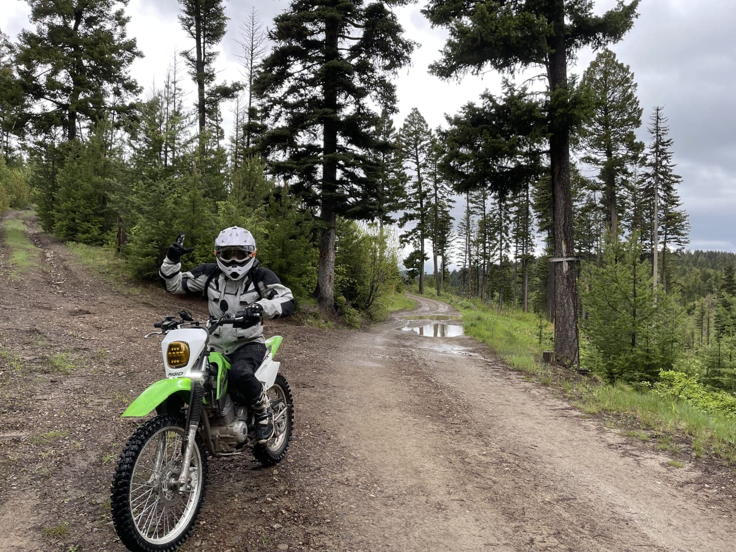
Upper Cave Gulch Road can be accessed by the following ride types:
- High-Clearance 4x4
- SUV
- SxS (60")
- ATV (50")
- Dirt Bike
Upper Cave Gulch Road Map
Popular Trails
Cottonwood Ridge
Elliston Spotted Dog
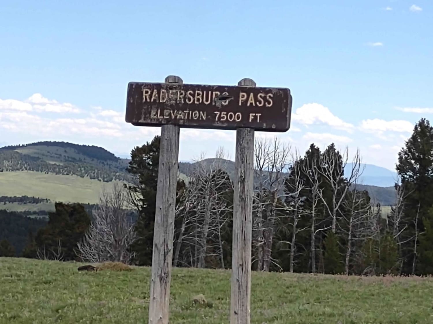
Radersburg Pass Loop
The onX Offroad Difference
onX Offroad combines trail photos, descriptions, difficulty ratings, width restrictions, seasonality, and more in a user-friendly interface. Available on all devices, with offline access and full compatibility with CarPlay and Android Auto. Discover what you’re missing today!