Pucker Pass to Whitetail Reservoir
Total Miles
5.4
Technical Rating
Best Time
Spring, Summer, Fall
Trail Type
60" Trail
Accessible By
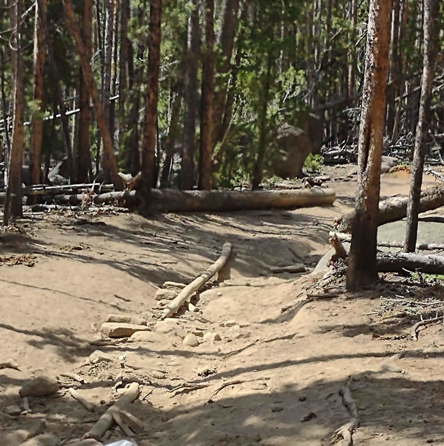
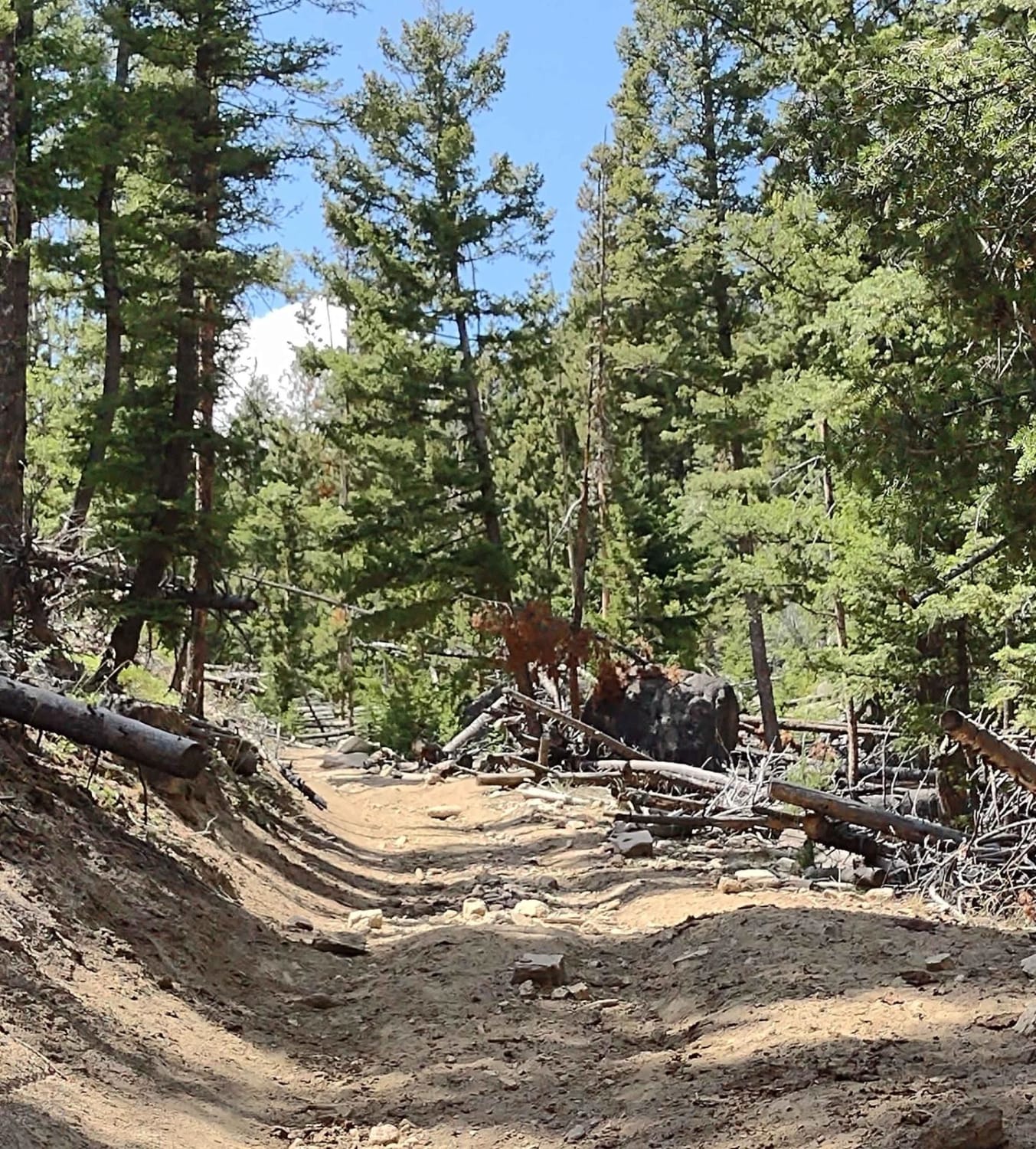
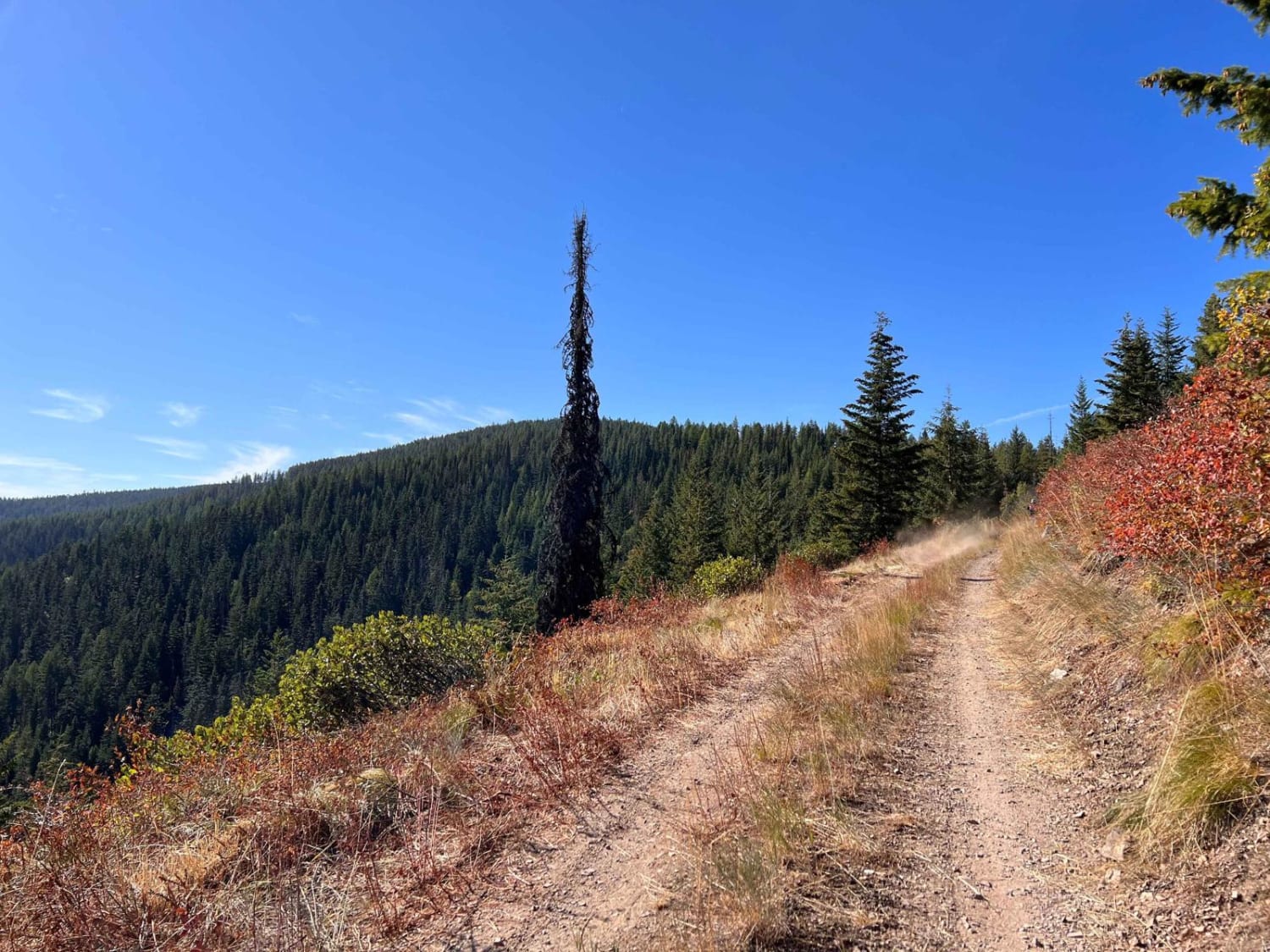
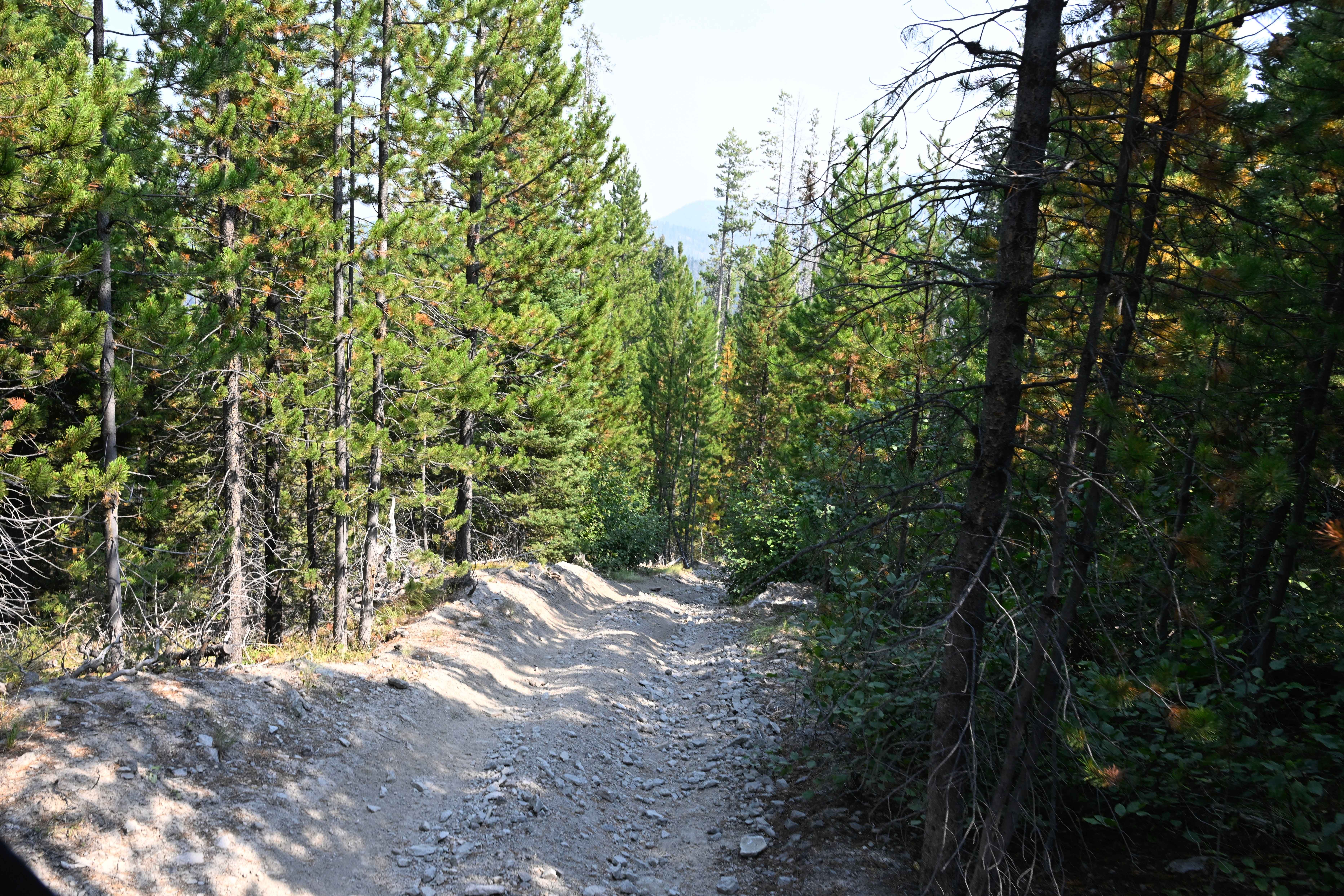
Trail Overview
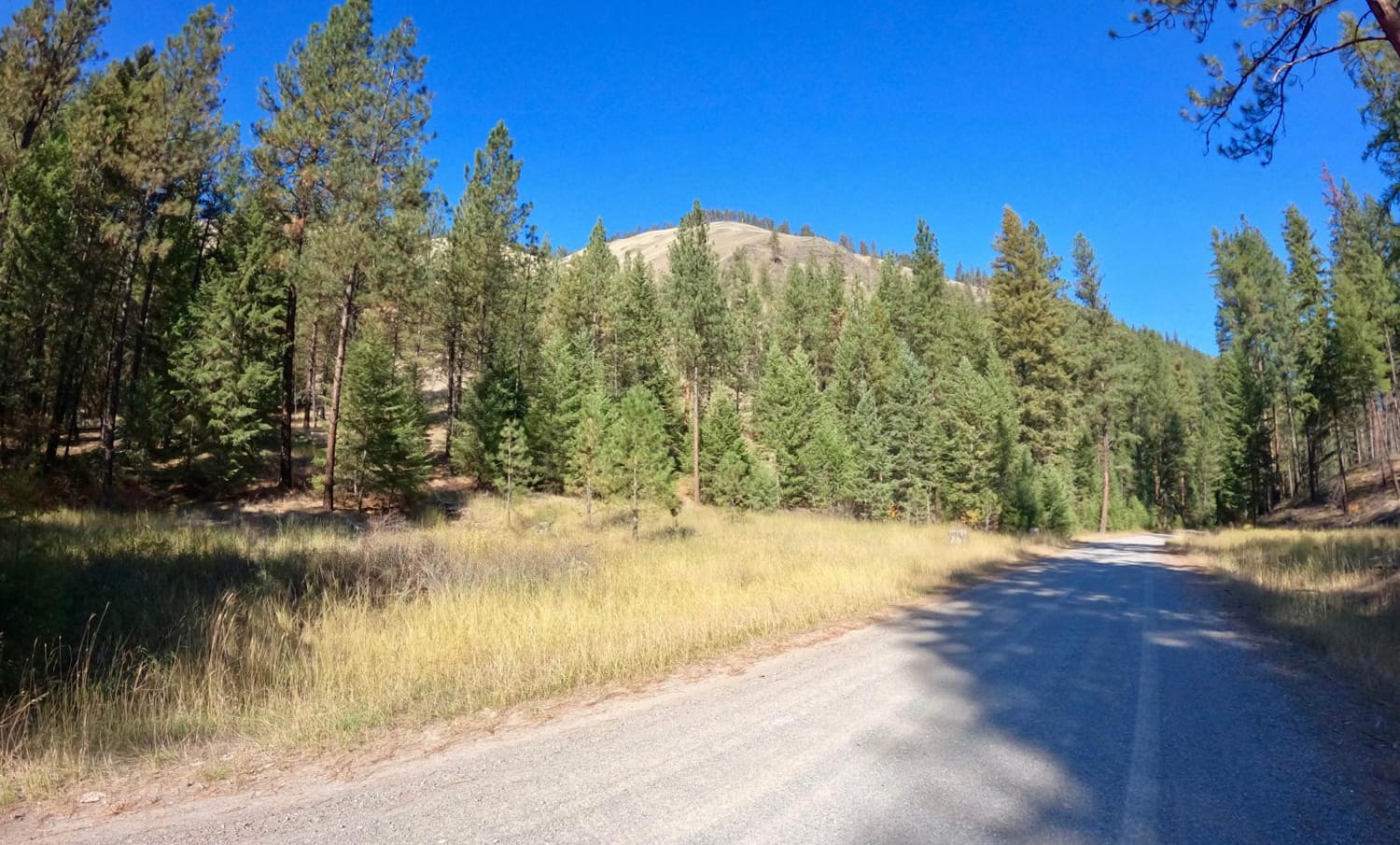
This trail has a lot of large rocks, tight turns, erosion, loose rocks, and downed trees to navigate around, over, and through. It's 6.2 miles, and you gain over 2,400 feet in elevation, with steep inclines and declines as you cross the mountains then drop down into the valley. It's very technical riding. There is one creek to cross, but in late July it has a shallow area. Earlier in the spring, it will be a deeper crossing. There are only a couple of wide spots to meet another vehicle. There is no room to get off the trail. If you meet another vehicle, someone is going to have to back up. Only try this trail if you have a low 4WD option. Take extra fuel and plenty of water and snacks. The trail is marked as a 50-inch trail, but a 75-inch SXS can make it through. It is clear from some of the marks on trees that Jeeps have gone through this trail as well. Anything over 75 inches won't fit in some places. After you cross the rocky top, you drop into the valley and can go to Whitetail Reservoir, but the puddles and mud in the valley in late July are deep. When you are done, you can go south out of the valley on the Halfway Creek Trail and then take the Delmoe Lake Trail south into Whitehall.
Photos of Pucker Pass to Whitetail Reservoir
Difficulty
There is one water crossing on this trail, but in late July there usually is a shallow place to cross. In the valley around the reservoir, there are lots of water puddles/crossings. The rocks and downed trees make the trail challenging. The trail is narrow, a 75-inch SXS can make it through. Marks on some of the trees reveal that some Jeeps have gone over this trail, but anything over 75 inches will not fit in some areas.
Status Reports
Pucker Pass to Whitetail Reservoir can be accessed by the following ride types:
- SxS (60")
- ATV (50")
- Dirt Bike
Pucker Pass to Whitetail Reservoir Map
Popular Trails
Huckleberry Mountain

Tepee Creek Trail
Sloway Gulch Road-Keystone Peak
The onX Offroad Difference
onX Offroad combines trail photos, descriptions, difficulty ratings, width restrictions, seasonality, and more in a user-friendly interface. Available on all devices, with offline access and full compatibility with CarPlay and Android Auto. Discover what you’re missing today!