Point of Jefferson River Loop
Total Miles
16.9
Technical Rating
Best Time
Summer, Fall, Spring
Trail Type
Full-Width Road
Accessible By
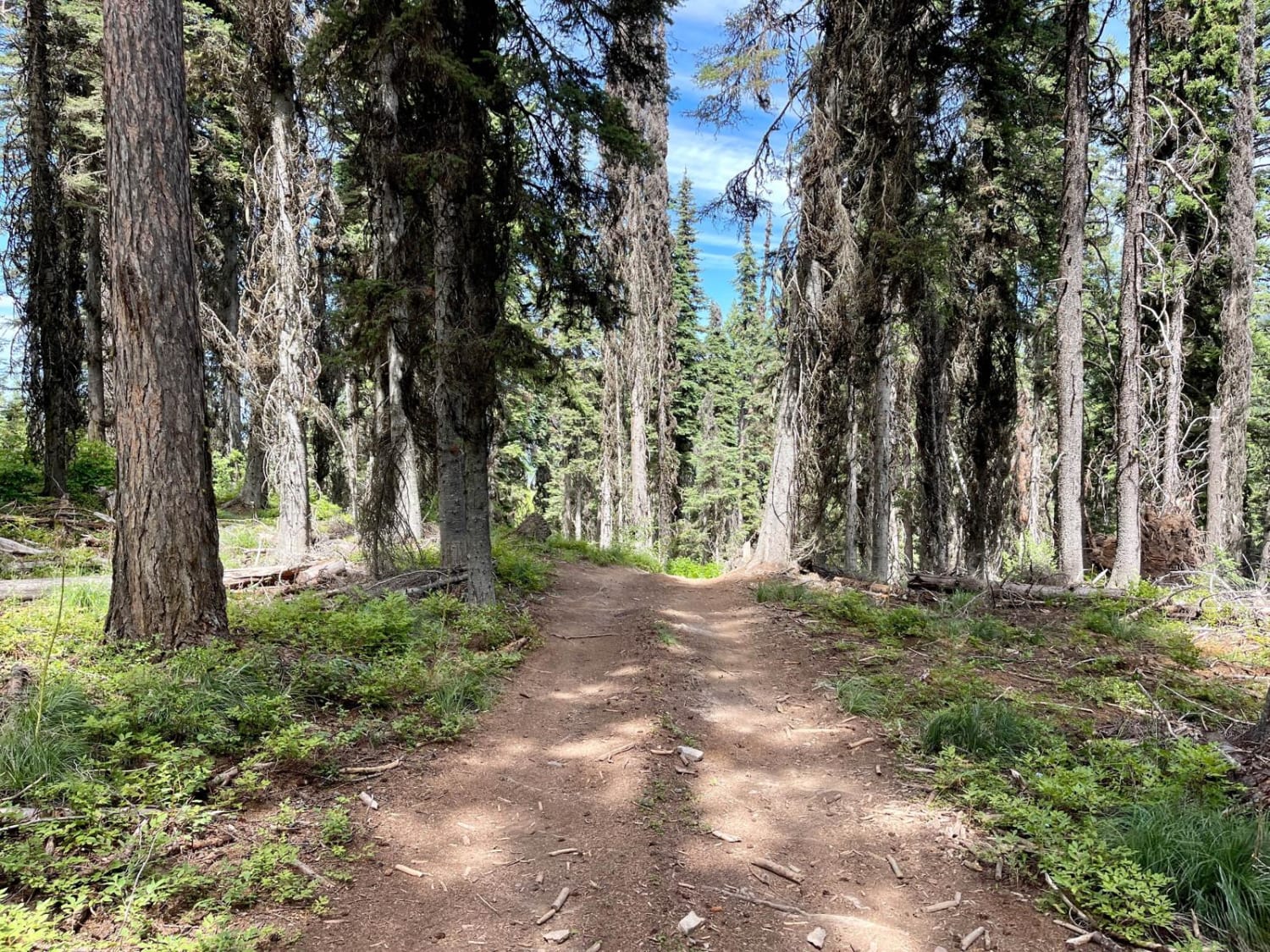
Trail Overview
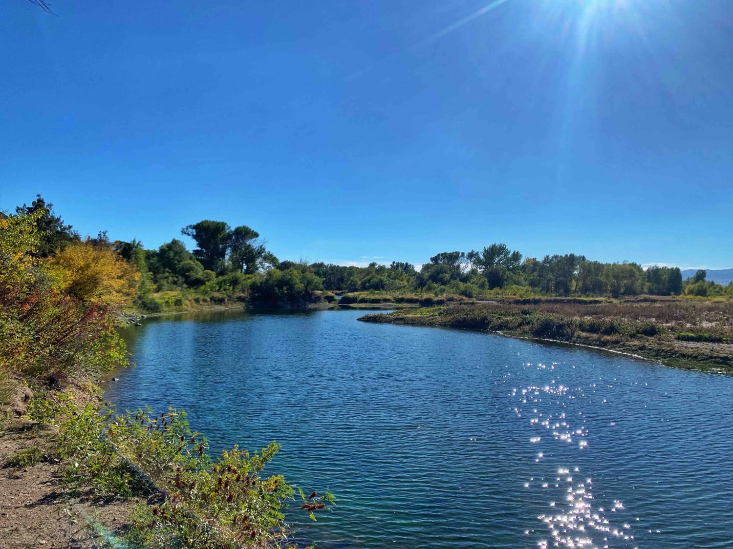
This mostly dirt loop trail takes you from the downtown of Whitehall into the countryside and drives along the Jefferson River. There are several spots along the trail that have excellent views of the river from above. Most of the land along this trail is private, but there is a small square of BLM land along the river with three dispersed campsites. There is a pull-out for rafts and water access for fishing. Just up the trail from the BLM campsites is swimming access. There is a good mix of wildlife in the area, moose, bald eagle, beaver, cranes, and other animals were spotted from the campsites.
Photos of Point of Jefferson River Loop

Difficulty
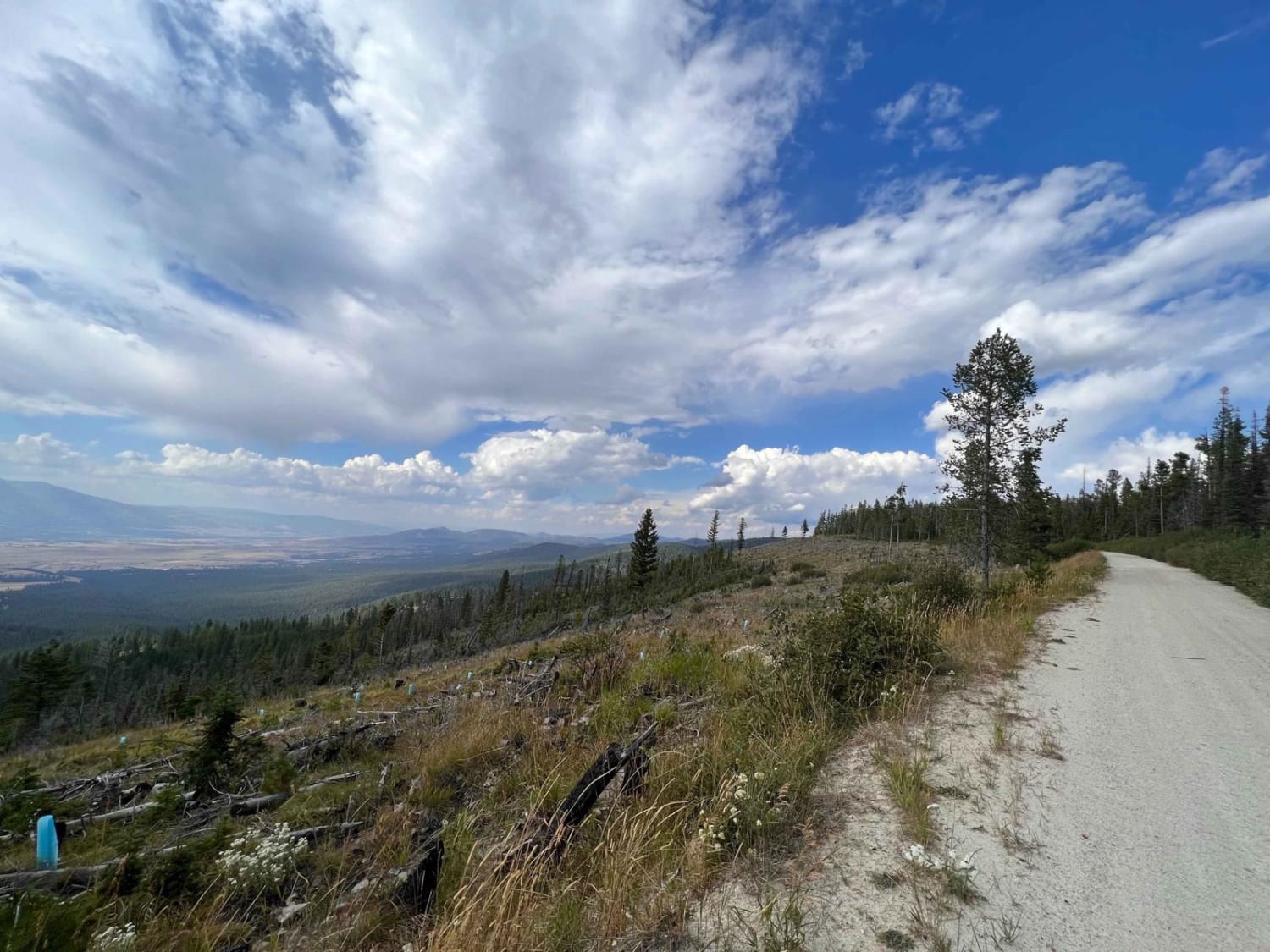
Dusty curvy dirt road. There are multiple private residences along this road so use caution in the corners and expect potential oncoming traffic. A few areas could be muddy after rain.
Status Reports
Point of Jefferson River Loop can be accessed by the following ride types:
- High-Clearance 4x4
- SUV
Point of Jefferson River Loop Map
Popular Trails
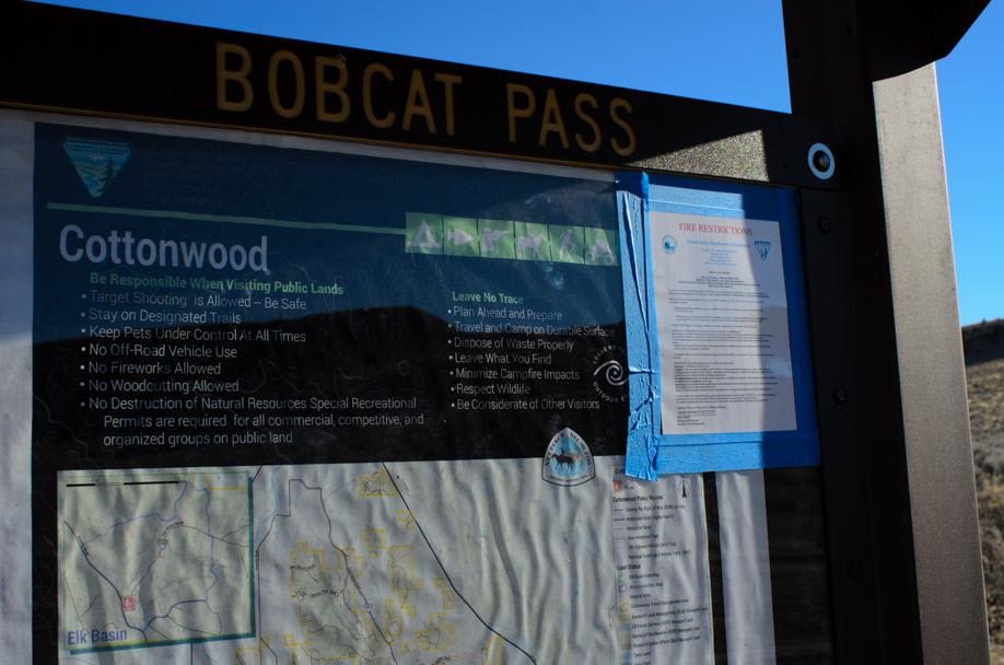
Cottonwood Road
Upper Skyline to Cinnabar Saddle
Horsethief Recreation Area
Wild Bill Truman Creek Trail
The onX Offroad Difference
onX Offroad combines trail photos, descriptions, difficulty ratings, width restrictions, seasonality, and more in a user-friendly interface. Available on all devices, with offline access and full compatibility with CarPlay and Android Auto. Discover what you’re missing today!