Upper Skyline to Cinnabar Saddle
Total Miles
5.5
Technical Rating
Best Time
Fall, Summer, Spring
Trail Type
Full-Width Road
Accessible By
Trail Overview
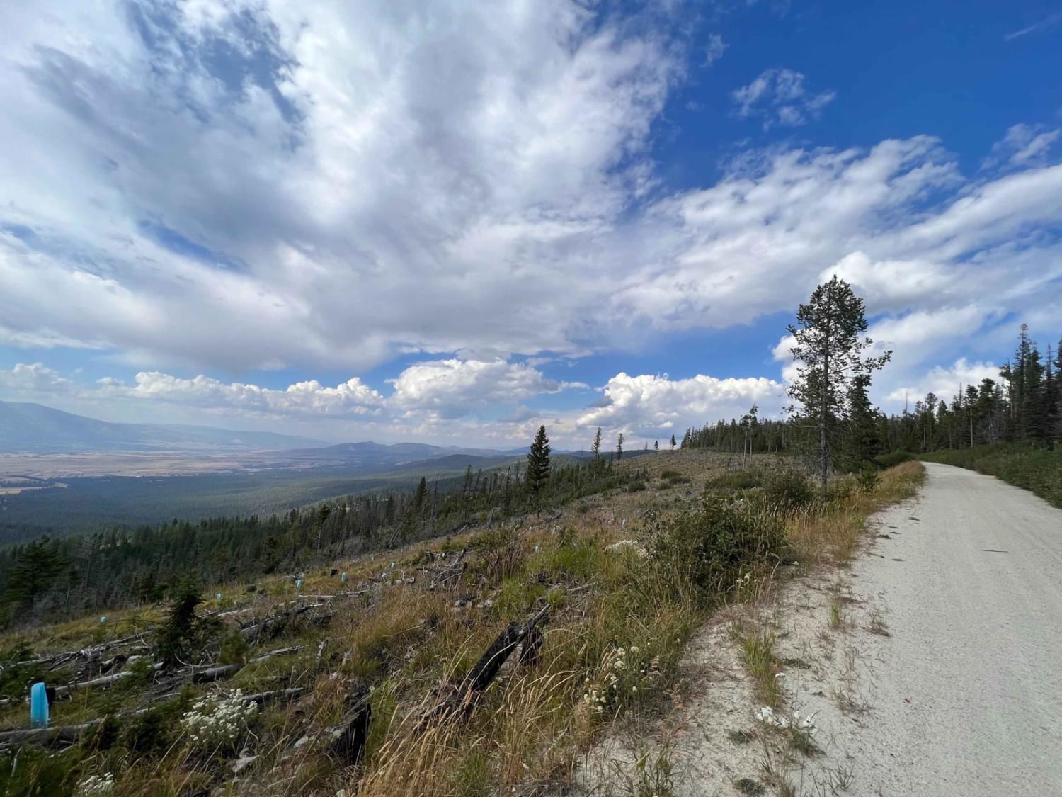
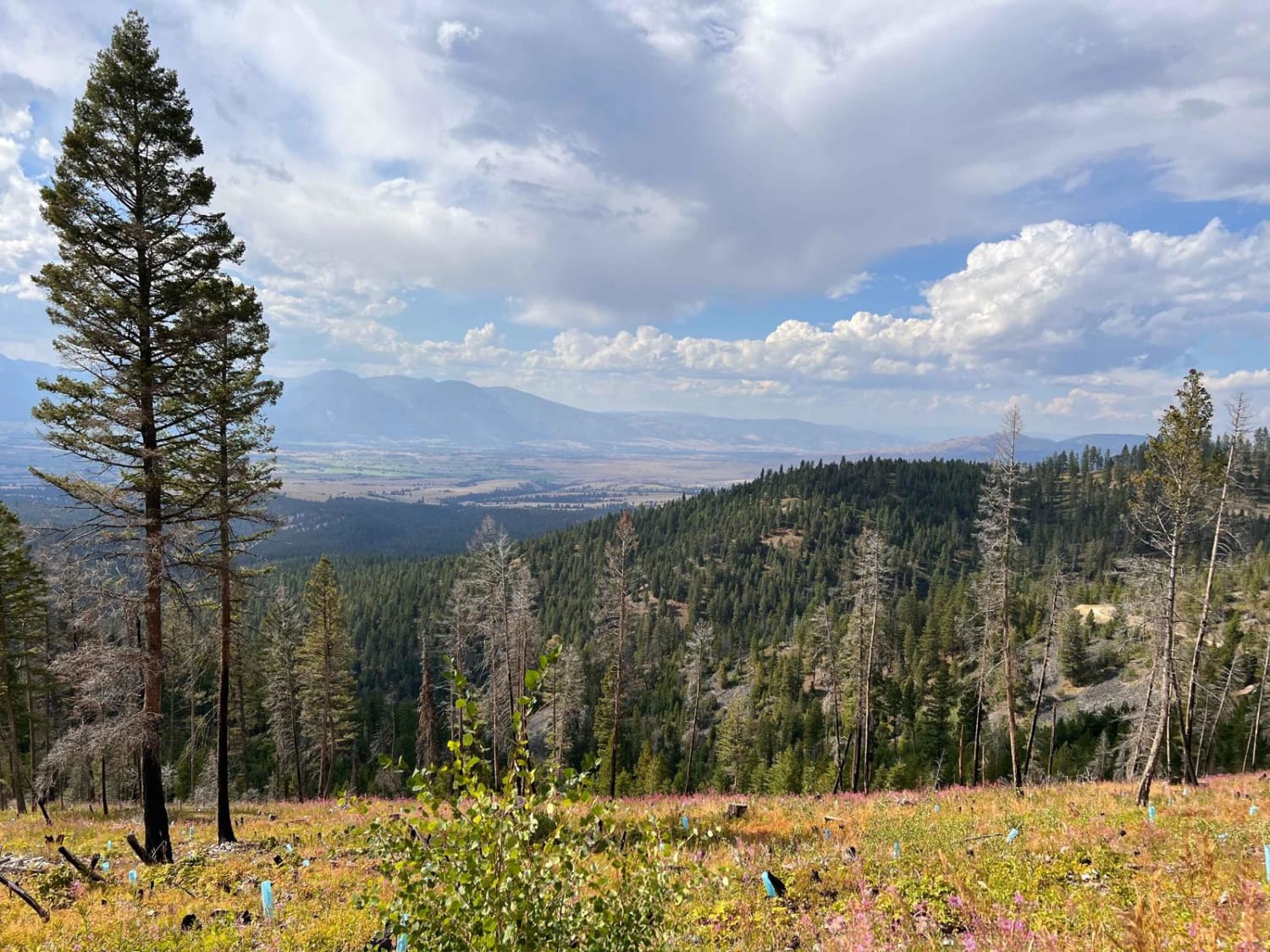
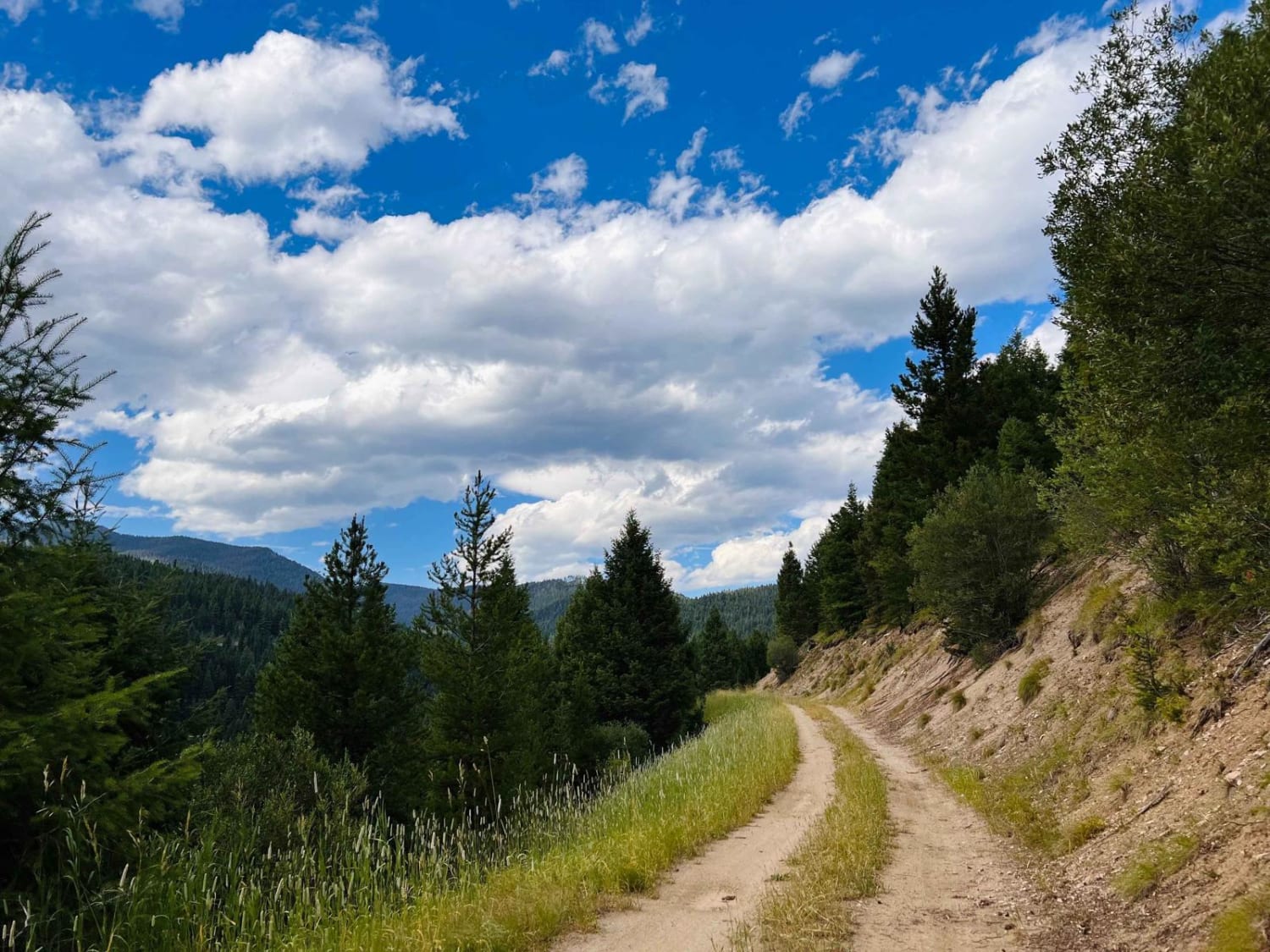
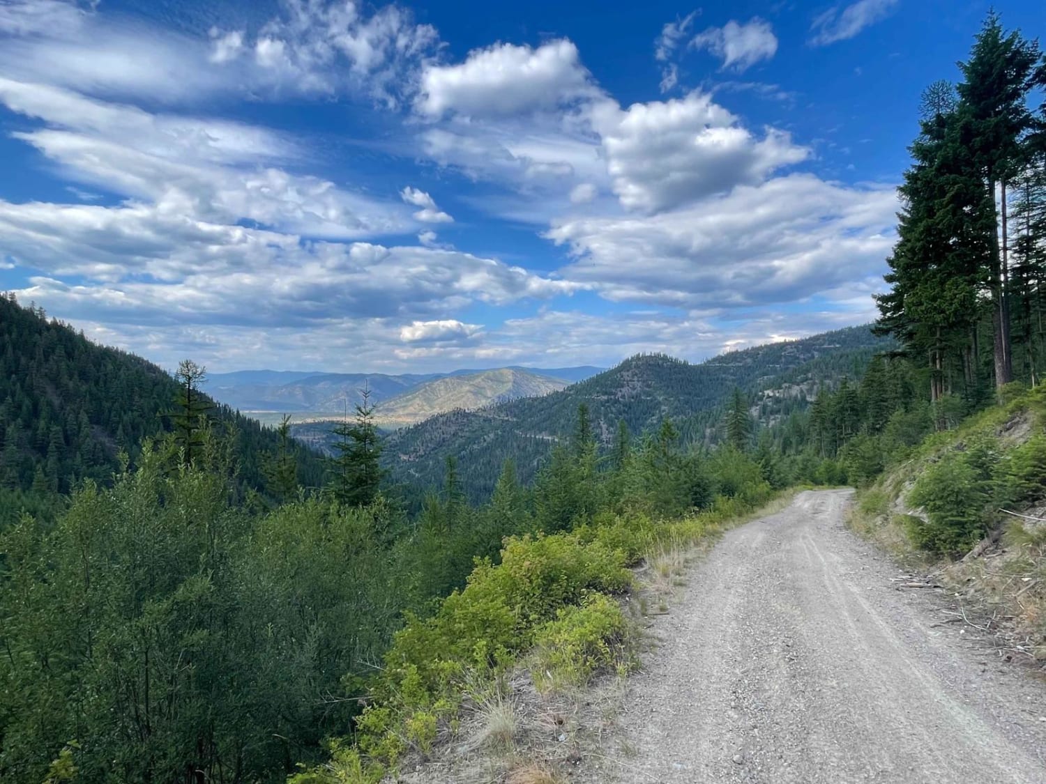
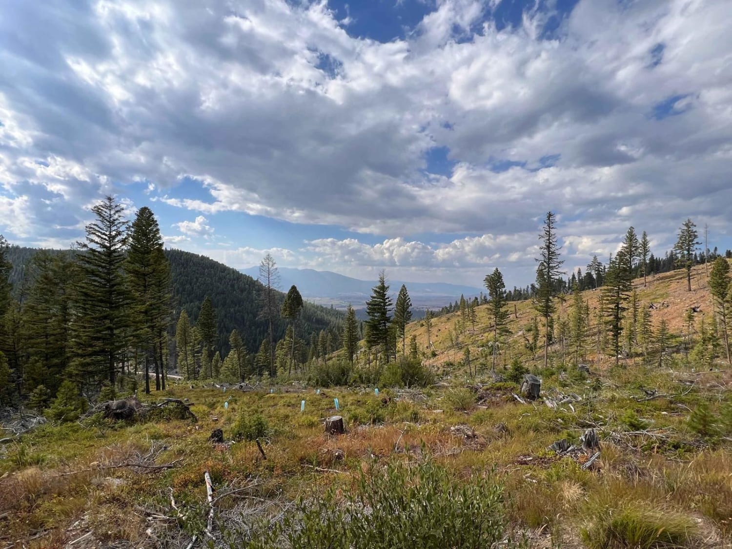
This easy ridge road has impressive views of the Bitterroot Valley as it twists its way in and out of the trees. Previous tree clearing makes for a nice open ride. There are a few potholes but nothing major with pullouts for oncoming traffic. Keep your eyes out for a few campsites and side trails. Once at the top, there's a locked gate at a large open area with fire rings and an excellent backstop for shooting practice. Two bars of LTE service most of the way.
Photos of Upper Skyline to Cinnabar Saddle
Difficulty
Easy with potholes and narrow for only one vehicle in some parts. Much is a shelf road with no guardrail and a long way down.
Status Reports
Upper Skyline to Cinnabar Saddle can be accessed by the following ride types:
- High-Clearance 4x4
- SUV
- SxS (60")
- ATV (50")
- Dirt Bike
Upper Skyline to Cinnabar Saddle Map
Popular Trails
Bush Moose Ridge
Williams Pass

Mill Creek Trailhead
The onX Offroad Difference
onX Offroad combines trail photos, descriptions, difficulty ratings, width restrictions, seasonality, and more in a user-friendly interface. Available on all devices, with offline access and full compatibility with CarPlay and Android Auto. Discover what you’re missing today!