Obsidian Point
Total Miles
2.4
Technical Rating
Best Time
Summer, Spring, Fall
Trail Type
High-Clearance 4x4 Trail
Accessible By
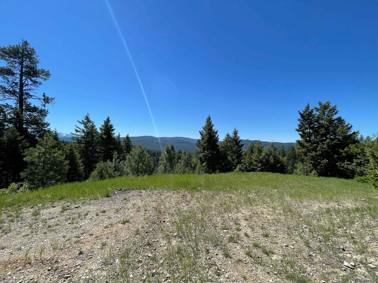
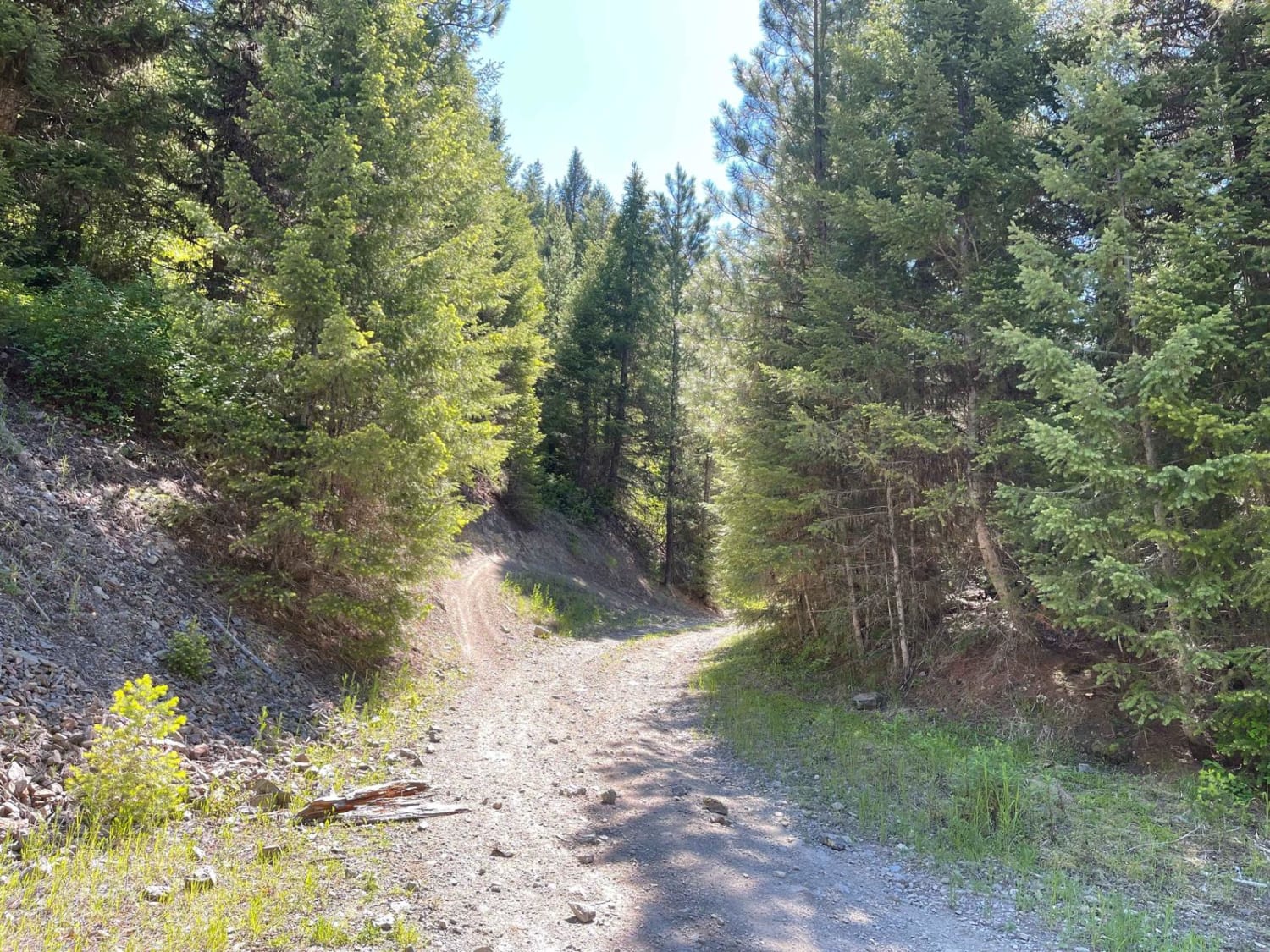
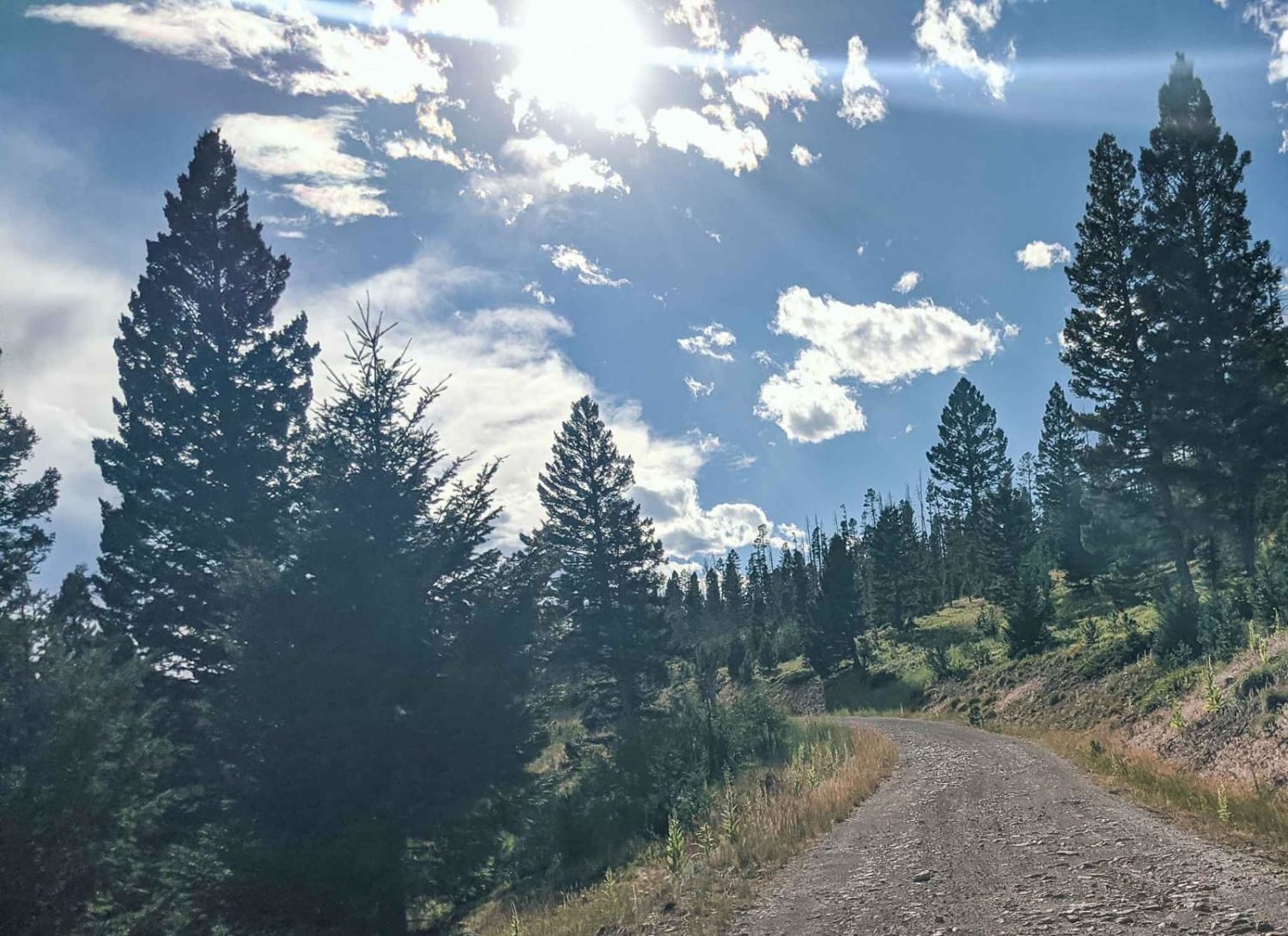
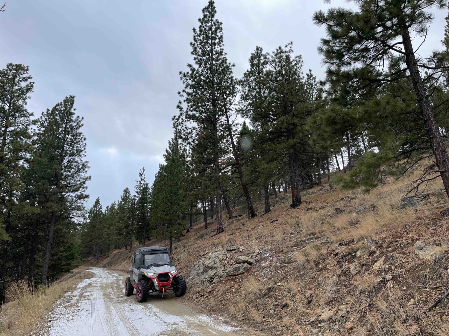
Trail Overview
This narrow two-track trail heads into the hills crossing a few single-track lines that are not on the map. From the end, there is a single-track line that heads uphill before apparently descending back to the bottom. On the way, you'll see wild berry bushes and a few dispersed camping sights with fire rings right along the trail. There is no cell service up here, but there are lovely views when there is a break in the trees.
Photos of Obsidian Point
Difficulty
Mosty easy, gets narrow in spots, and has some loose ruts but overall pretty easy.
Obsidian Point can be accessed by the following ride types:
- High-Clearance 4x4
- SxS (60")
- ATV (50")
- Dirt Bike
Obsidian Point Map
Popular Trails
Elliston Spotted Dog
Lloyd Scenic Loop

The onX Offroad Difference
onX Offroad combines trail photos, descriptions, difficulty ratings, width restrictions, seasonality, and more in a user-friendly interface. Available on all devices, with offline access and full compatibility with CarPlay and Android Auto. Discover what you’re missing today!