Lick Creek Road
Total Miles
6.0
Technical Rating
Best Time
Spring, Summer, Fall
Trail Type
Full-Width Road
Accessible By
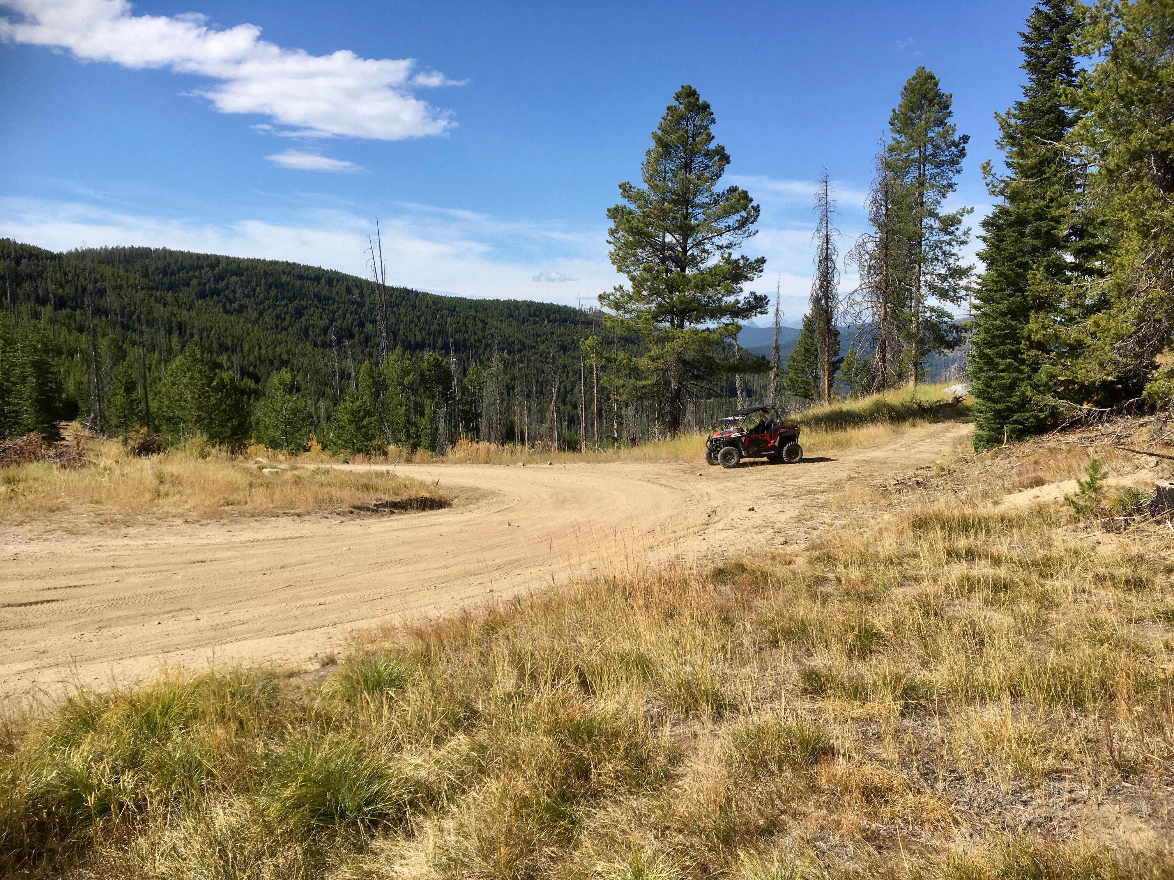
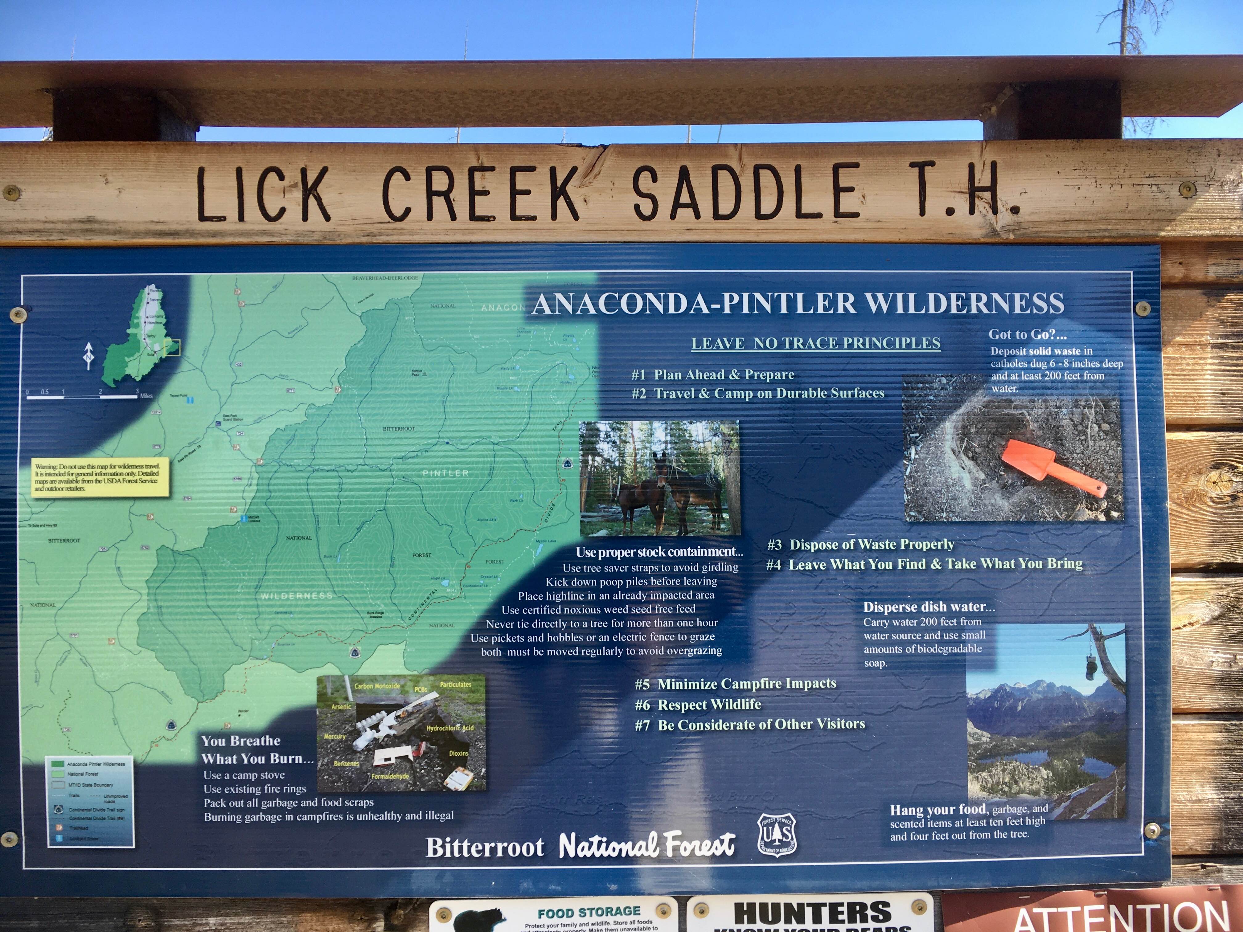
Trail Overview
During the summer of 2020, the lower segments of this road were rebuilt in anticipation of a vegetation management logging project, and more recently, during the summer of 2025, the upper segments received routine maintenance. Therefore, this road, when evaluated, was in very good condition and two-lane for its entire length. Lick Creek Road provides access to the Anaconda-Pintlar Wilderness boundary as well as a connection to the Reynolds-Lick ATV trail. There have been several recent wildfire events in this area, and the outcome of those wildfires is observable from the road. This road is available for vehicular travel year-round.
Photos of Lick Creek Road
Difficulty
This road has received considerable recent maintenance and therefore requires little technical skills to navigate.
Status Reports
Lick Creek Road can be accessed by the following ride types:
- High-Clearance 4x4
- SUV
- SxS (60")
- ATV (50")
- Dirt Bike
Lick Creek Road Map
Popular Trails
Lava Mountain Loop
Wild Bill The Coffin and the Playground

West Fork of Swamp Creek

Jocko Canyon Road
The onX Offroad Difference
onX Offroad combines trail photos, descriptions, difficulty ratings, width restrictions, seasonality, and more in a user-friendly interface. Available on all devices, with offline access and full compatibility with CarPlay and Android Auto. Discover what you’re missing today!