Pinkham Falls Route
Total Miles
0.4
Technical Rating
Best Time
Summer
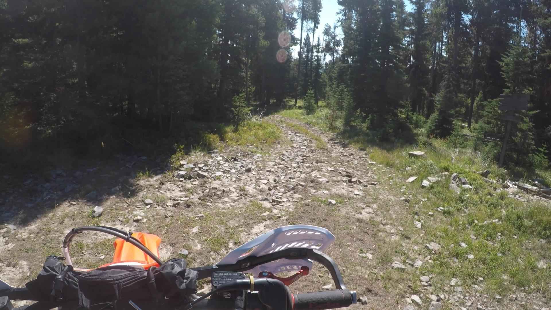
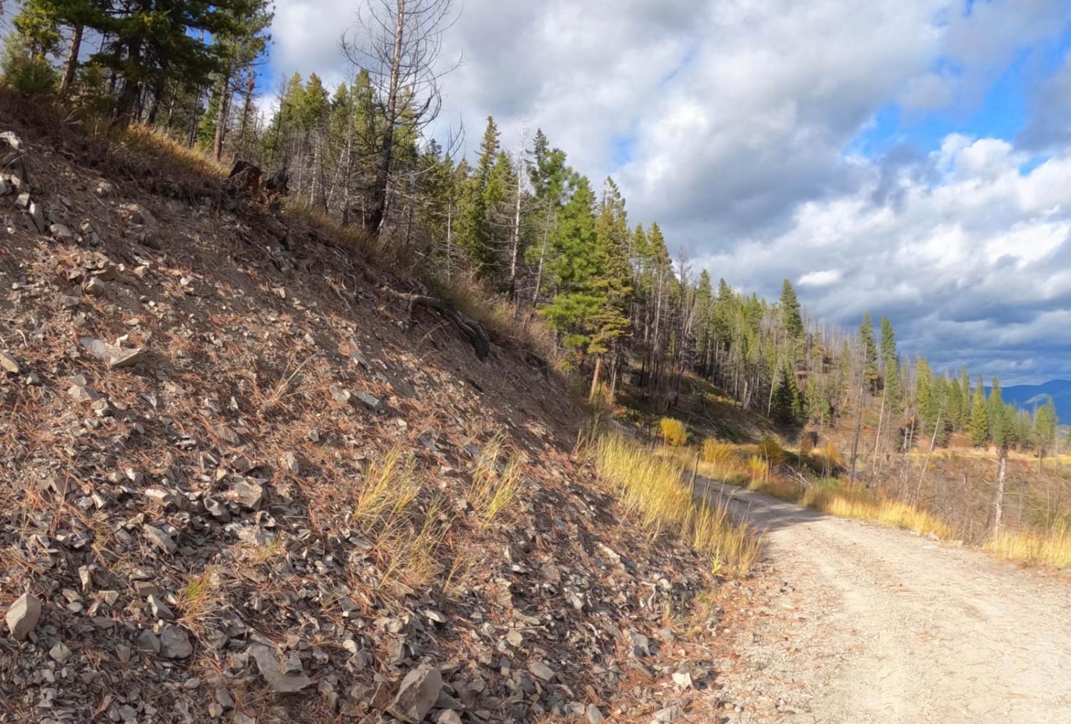
Trail Type
Full-Width Road
Accessible By
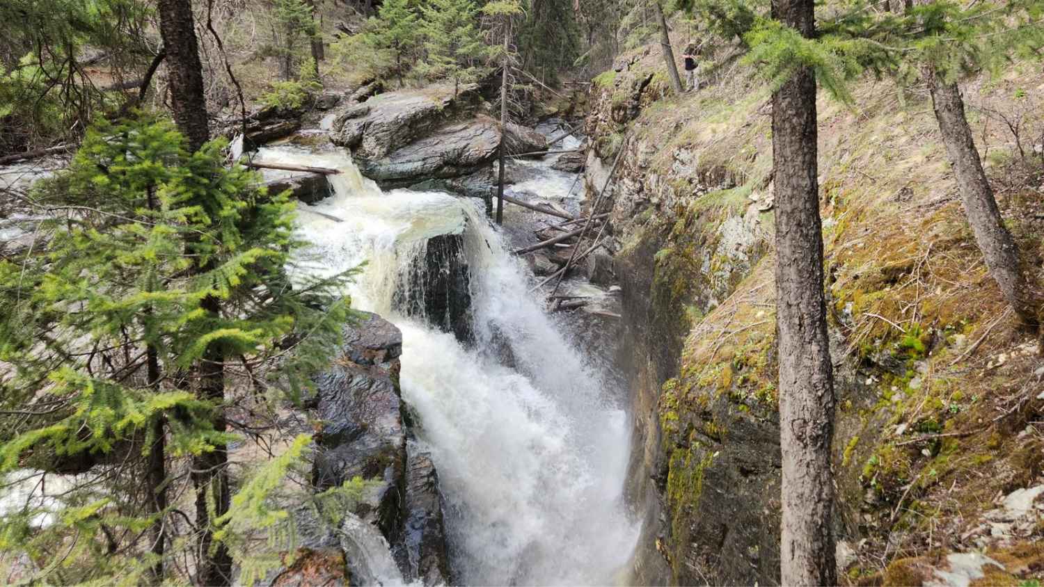
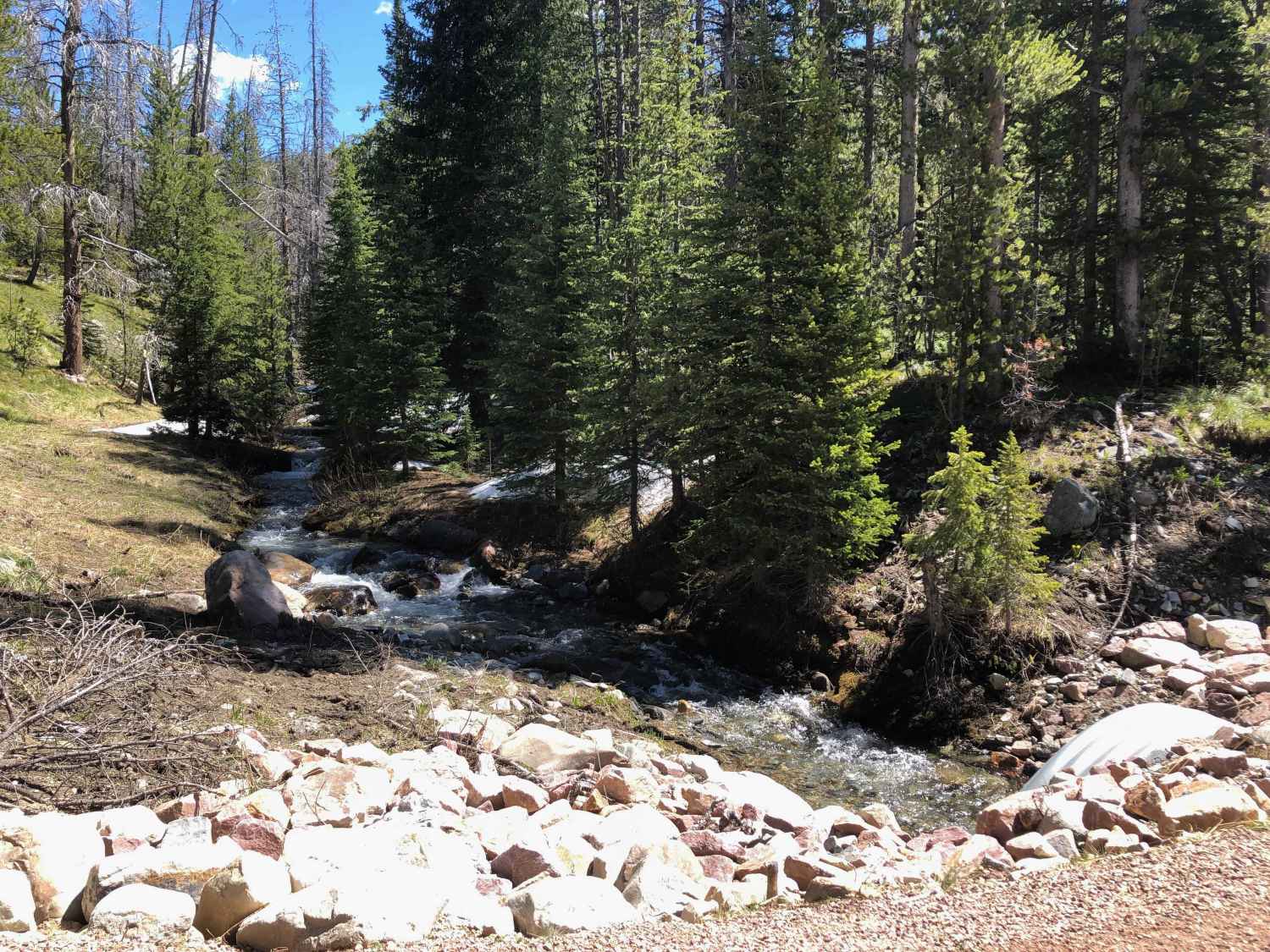
Trail Overview
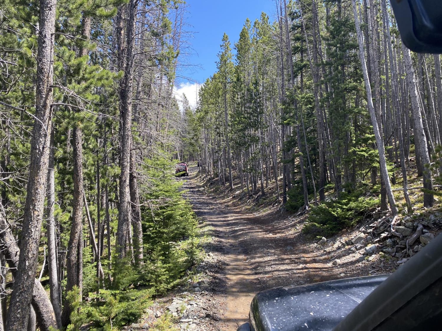
Pinkham Falls is a favorite among locals of the Libby area and those visiting Lake Koocanusa. While it is a short route, the entrance is on private land with nearby residences. Be respectful and don't cross onto private land while hiking. This route is unmaintained, and you will need to pack out everything you bring in. There are no bathrooms or facilities of any kind. There is space for camping near the waterfall, though it is overused, and debris has been left from past users. The route has several rocky outcrop ledges and steep climbs to traverse. Avoid creating new routes or widening existing routes. Most of the route is in the Kootenai National Forest, and no permits are required. To see the lower falls, you must cross the creek and hike downstream to view it.
Photos of Pinkham Falls Route

Difficulty
Difficulty can change with inclement weather.
Status Reports
Pinkham Falls Route can be accessed by the following ride types:
- High-Clearance 4x4
- SUV
- SxS (60")
- ATV (50")
- Dirt Bike
Pinkham Falls Route Map
Popular Trails
Warm Springs Creek Road 170
Sunrise Point Road
Skyline Mine Trail
The onX Offroad Difference
onX Offroad combines trail photos, descriptions, difficulty ratings, width restrictions, seasonality, and more in a user-friendly interface. Available on all devices, with offline access and full compatibility with CarPlay and Android Auto. Discover what you’re missing today!