Sunrise Point Road
Total Miles
10.5
Technical Rating
Best Time
Spring, Summer, Fall
Trail Type
Full-Width Road
Accessible By
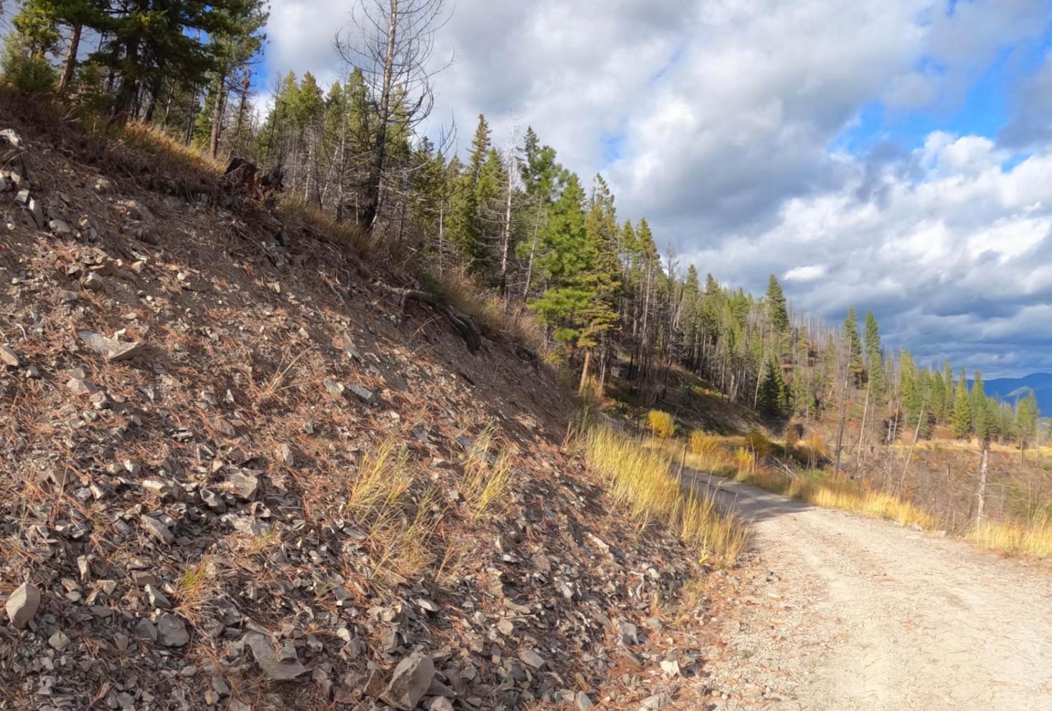
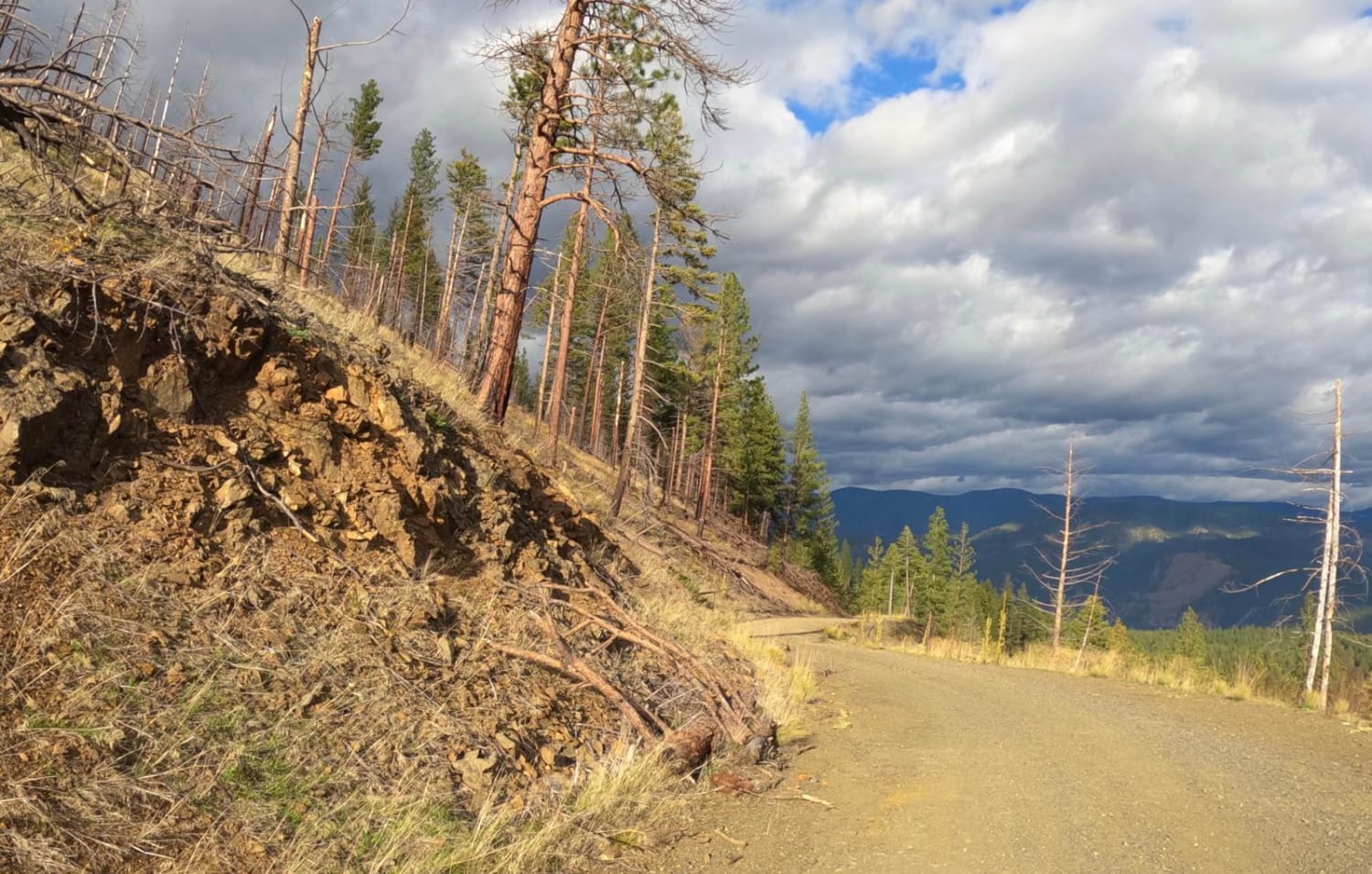
Trail Overview
The route is a two-lane gravel road from start to finish and ends in a very large open area of the Lolo Forest. The route has a gradual climb from 3,200 to 6,000 feet with very beautiful views of the surrounding Lolo Forest. The route travels through areas of burnt-out forest and new growth. There is very little traffic on the route, except for some occasional wildlife that you might encounter. The route is very colorful with the onset of fall. You will need to download the offline map for this area as cell service is very weak toward the top of the route. Sharp curves and steep embankments can be encountered along the majority of the route.
Photos of Sunrise Point Road
Difficulty
The route is mainly made up of flat gravel with occasional loose rocks in places. Sharp blind curves with steep embankments are along most of the route. Downed trees or brush could be on the route in many places.
Status Reports
Sunrise Point Road can be accessed by the following ride types:
- High-Clearance 4x4
- SUV
- SxS (60")
- ATV (50")
- Dirt Bike
Sunrise Point Road Map
Popular Trails

Trapper Trailhead Side Trail
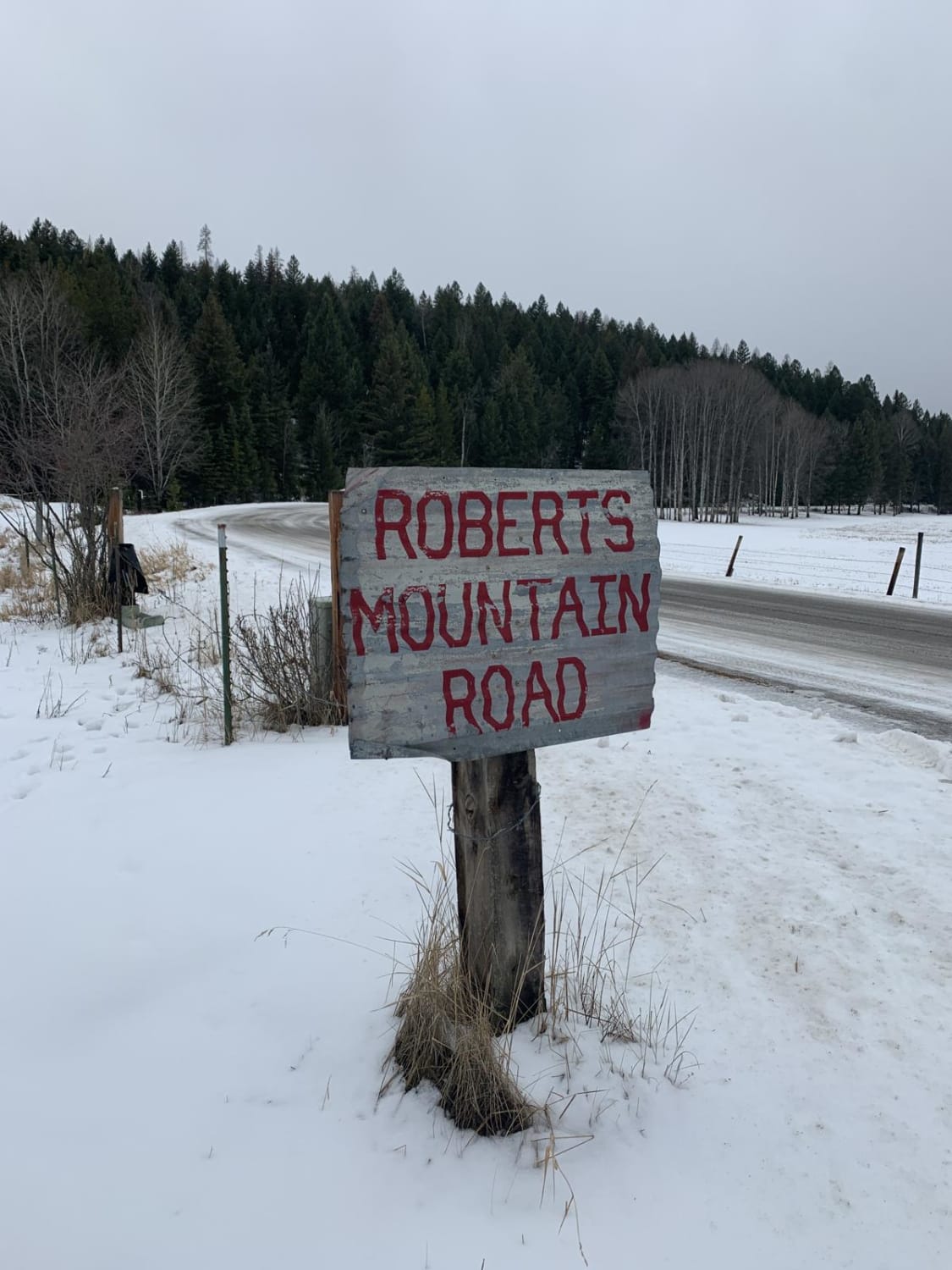
Robert's Mountain Trail
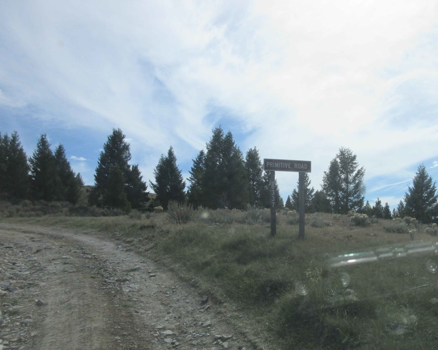
Cottonwood Creek - FS8337

Lost Horse Ridgeline Lower
The onX Offroad Difference
onX Offroad combines trail photos, descriptions, difficulty ratings, width restrictions, seasonality, and more in a user-friendly interface. Available on all devices, with offline access and full compatibility with CarPlay and Android Auto. Discover what you’re missing today!