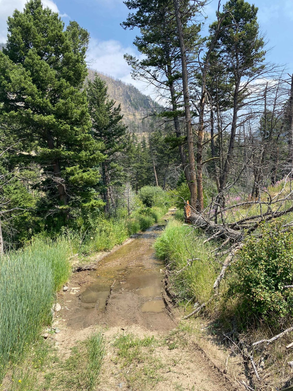
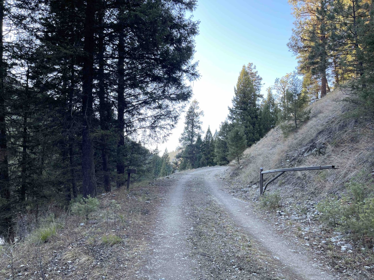
Off-Road Trails in Montana
Discover off-road trails in Montana
Learn more about Siegel Pass-Nine Mile Rd
Siegel Pass-Nine Mile Rd
Total Miles
10.6
Tech Rating
Easy
Best Time
Summer, Fall
Learn more about Silver Creek to Silver Lake 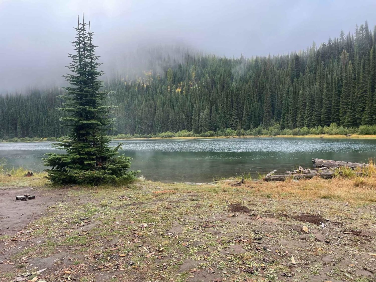
Silver Creek to Silver Lake
Total Miles
4.4
Tech Rating
Easy
Best Time
Summer, Fall, Spring
Learn more about Six Mile Road (457)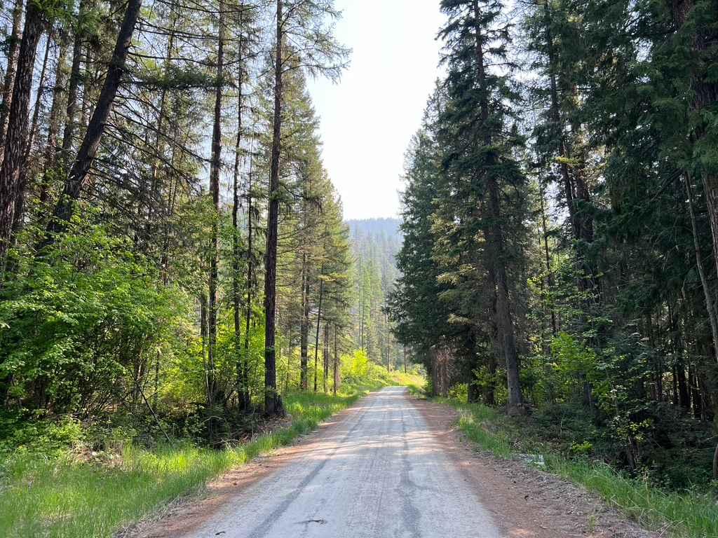
Six Mile Road (457)
Total Miles
11.1
Tech Rating
Easy
Best Time
Summer, Fall
Learn more about Sixteen Mile Creek Road
Sixteen Mile Creek Road
Total Miles
20.8
Tech Rating
Easy
Best Time
Spring, Summer, Fall
Learn more about Skalkaho Highway / MT 38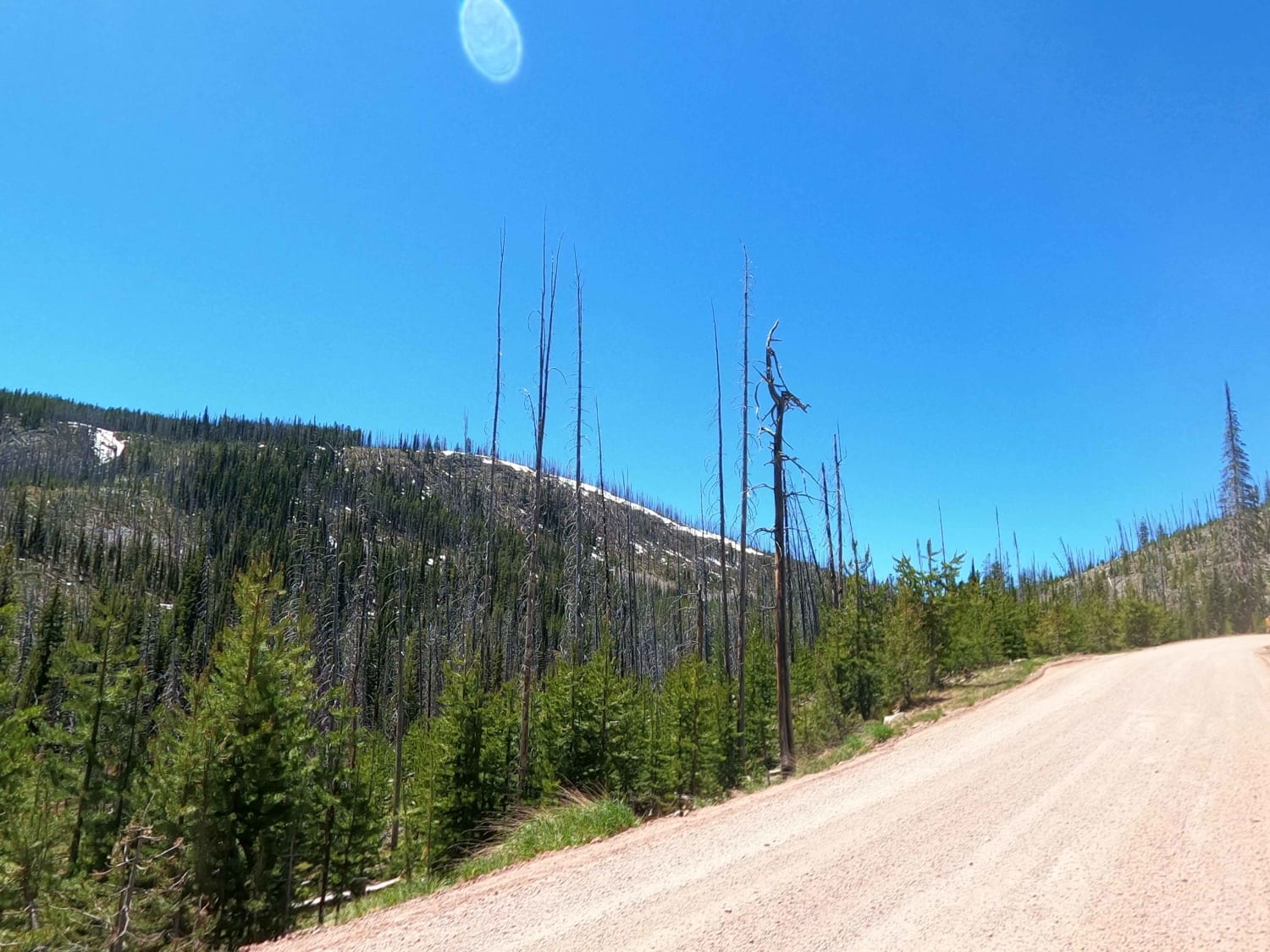
Skalkaho Highway / MT 38
Total Miles
20.0
Tech Rating
Easy
Best Time
Spring, Summer, Fall
Learn more about Skyline Mine Spur 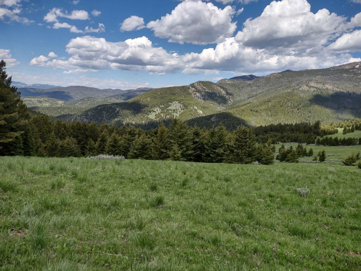
Skyline Mine Spur
Total Miles
3.7
Tech Rating
Easy
Best Time
Spring, Summer, Fall
Learn more about Skyline Mine Trail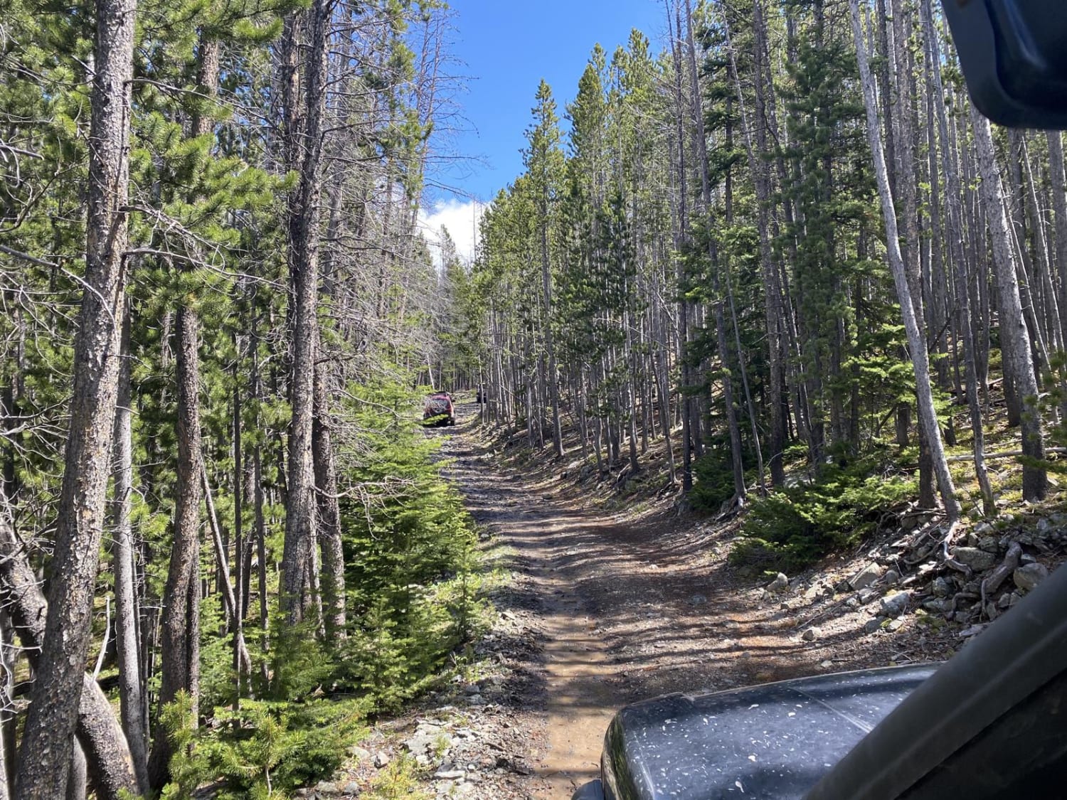
Skyline Mine Trail
Total Miles
6.6
Tech Rating
Easy
Best Time
Summer, Fall
Learn more about Sleeping Child Trail
Sleeping Child Trail
Total Miles
8.7
Tech Rating
Extreme
Best Time
Fall
Learn more about Sloan's Bridge to Old Ferry Basin Crossing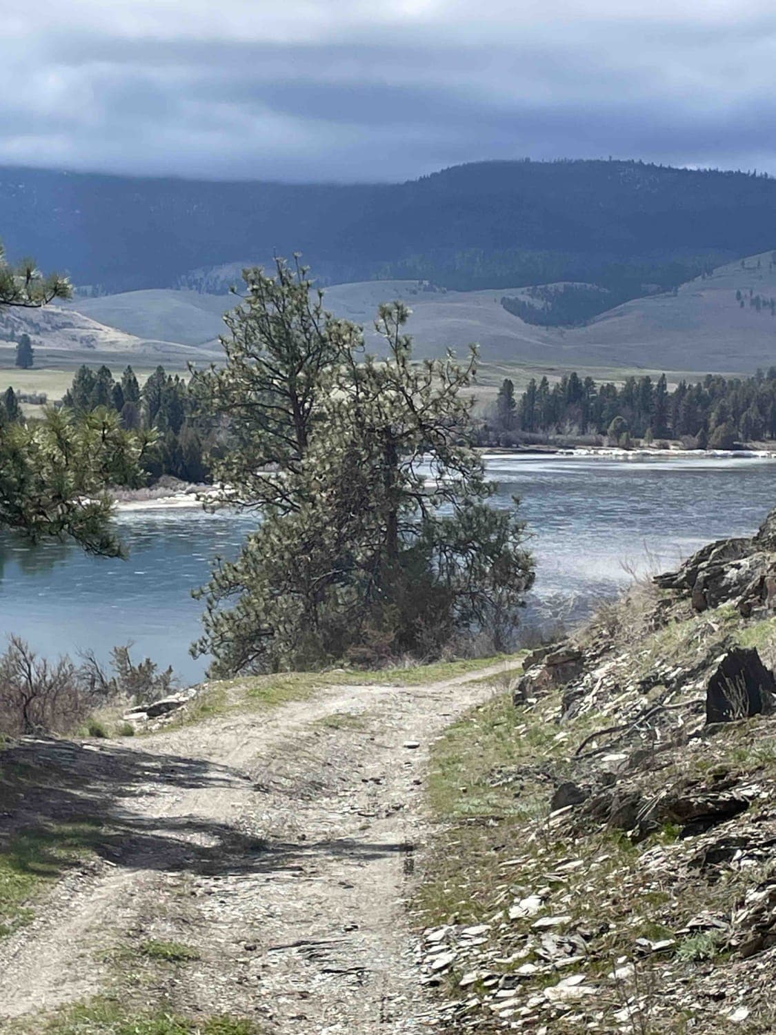
Sloan's Bridge to Old Ferry Basin Crossing
Total Miles
29.8
Tech Rating
Easy
Best Time
Spring, Summer, Fall
Learn more about Sloway Gulch Road-Keystone Peak
Sloway Gulch Road-Keystone Peak
Total Miles
15.1
Tech Rating
Easy
Best Time
Spring, Summer, Fall
Learn more about Sluice Creek
Sluice Creek
Total Miles
10.5
Tech Rating
Easy
Best Time
Fall, Summer, Spring

ATV trails in Montana
Learn more about $50,000 Silver Dollar Inn - FSR 288
$50,000 Silver Dollar Inn - FSR 288
Total Miles
7.5
Tech Rating
Easy
Best Time
Spring, Summer, Fall
Learn more about 2103 West Fork Gold Creek
2103 West Fork Gold Creek
Total Miles
5.7
Tech Rating
Easy
Best Time
Spring, Summer, Fall, Winter
Learn more about 4W-7736 - Big Flat Trail
4W-7736 - Big Flat Trail
Total Miles
3.6
Tech Rating
Easy
Best Time
Spring, Summer, Fall
Learn more about 4W-7829 - Mink Peak Jeep Trail
4W-7829 - Mink Peak Jeep Trail
Total Miles
4.4
Tech Rating
Easy
Best Time
Spring, Summer, Fall
UTV/side-by-side trails in Montana
Learn more about $50,000 Silver Dollar Inn - FSR 288
$50,000 Silver Dollar Inn - FSR 288
Total Miles
7.5
Tech Rating
Easy
Best Time
Spring, Summer, Fall
Learn more about 2103 West Fork Gold Creek
2103 West Fork Gold Creek
Total Miles
5.7
Tech Rating
Easy
Best Time
Spring, Summer, Fall, Winter
Learn more about 4W-7736 - Big Flat Trail
4W-7736 - Big Flat Trail
Total Miles
3.6
Tech Rating
Easy
Best Time
Spring, Summer, Fall
Learn more about 4W-7829 - Mink Peak Jeep Trail
4W-7829 - Mink Peak Jeep Trail
Total Miles
4.4
Tech Rating
Easy
Best Time
Spring, Summer, Fall
The onX Offroad Difference
onX Offroad combines trail photos, descriptions, difficulty ratings, width restrictions, seasonality, and more in a user-friendly interface. Available on all devices, with offline access and full compatibility with CarPlay and Android Auto. Discover what you’re missing today!