Off-Road Trails in Montana
Discover off-road trails in Montana
Learn more about Stemple Pass
Stemple Pass
Total Miles
23.1
Tech Rating
Easy
Best Time
Winter, Fall, Summer, Spring
Learn more about Stevens Creek Road
Stevens Creek Road
Total Miles
9.4
Tech Rating
Easy
Best Time
Fall, Summer, Spring
Learn more about Stevens Ridge
Stevens Ridge
Total Miles
10.2
Tech Rating
Easy
Best Time
Fall, Summer, Spring
Learn more about Stillwater River Road
Stillwater River Road
Total Miles
15.6
Tech Rating
Easy
Best Time
Spring, Summer, Fall, Winter
Learn more about Stoddard Point
Stoddard Point
Total Miles
1.3
Tech Rating
Easy
Best Time
Fall, Spring, Summer
Learn more about Stonewall Creek Road - FS 607E
Stonewall Creek Road - FS 607E
Total Miles
4.4
Tech Rating
Easy
Best Time
Spring, Summer, Fall
Learn more about Stonewall Mountain Lookout
Stonewall Mountain Lookout
Total Miles
9.8
Tech Rating
Easy
Best Time
Summer, Fall
Learn more about Stony Creek 2178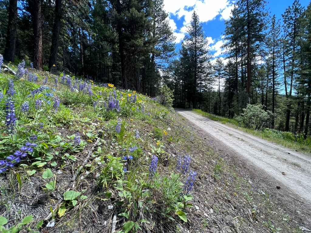
Stony Creek 2178
Total Miles
6.6
Tech Rating
Easy
Best Time
Spring, Summer
Learn more about Storm Castle to Line Creek Rd
Storm Castle to Line Creek Rd
Total Miles
12.6
Tech Rating
Easy
Best Time
Summer, Fall
Learn more about Storm Castle to Line Creek Road
Storm Castle to Line Creek Road
Total Miles
12.5
Tech Rating
Easy
Best Time
Summer, Fall
Learn more about Strawberry Lake Trail
Strawberry Lake Trail
Total Miles
3.2
Tech Rating
Easy
Best Time
Spring, Summer, Fall
Learn more about Sucker Creek - FS 1800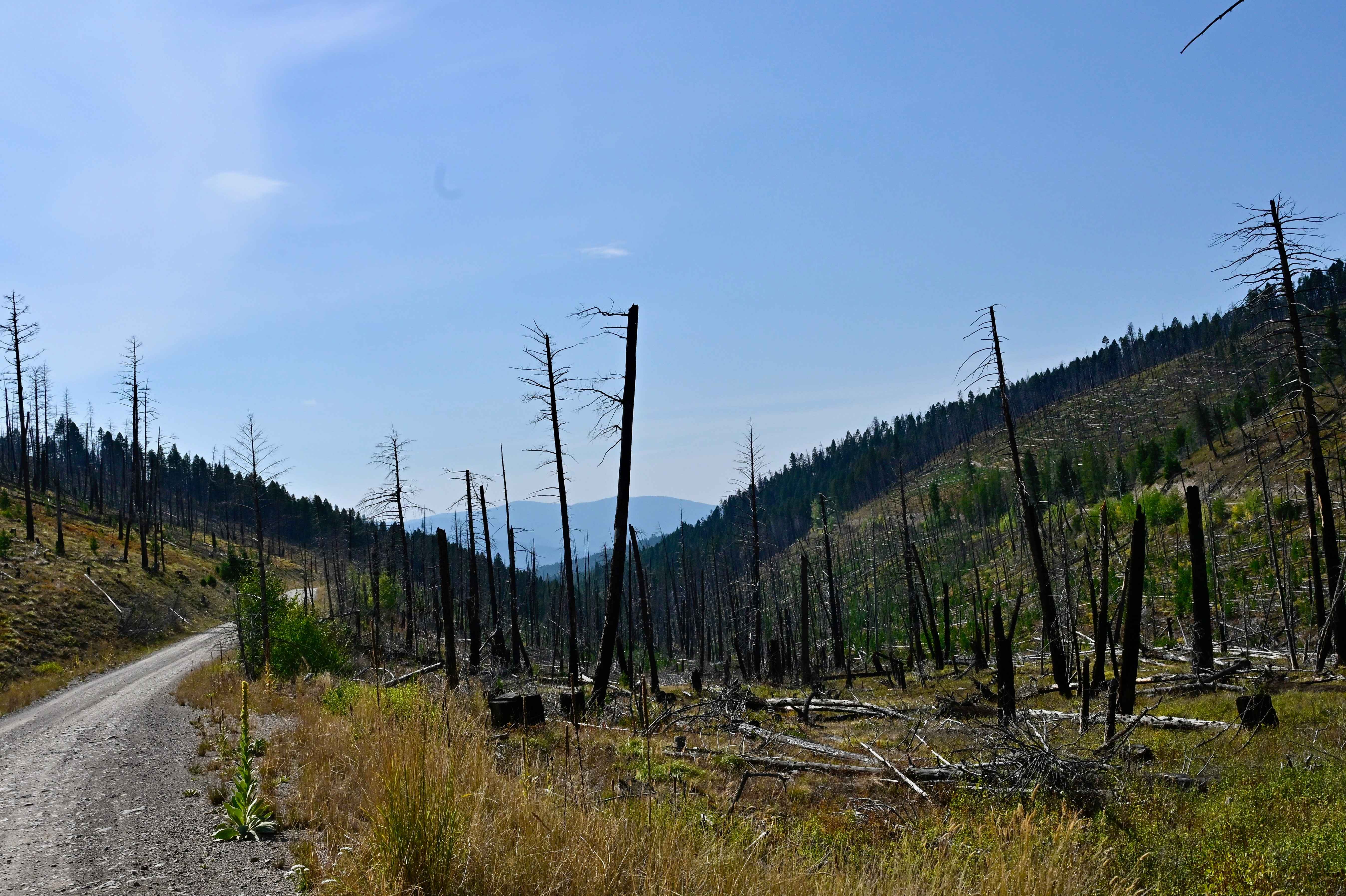
Sucker Creek - FS 1800
Total Miles
11.3
Tech Rating
Easy
Best Time
Spring, Summer, Fall, Winter
Learn more about Sula Peak Lookout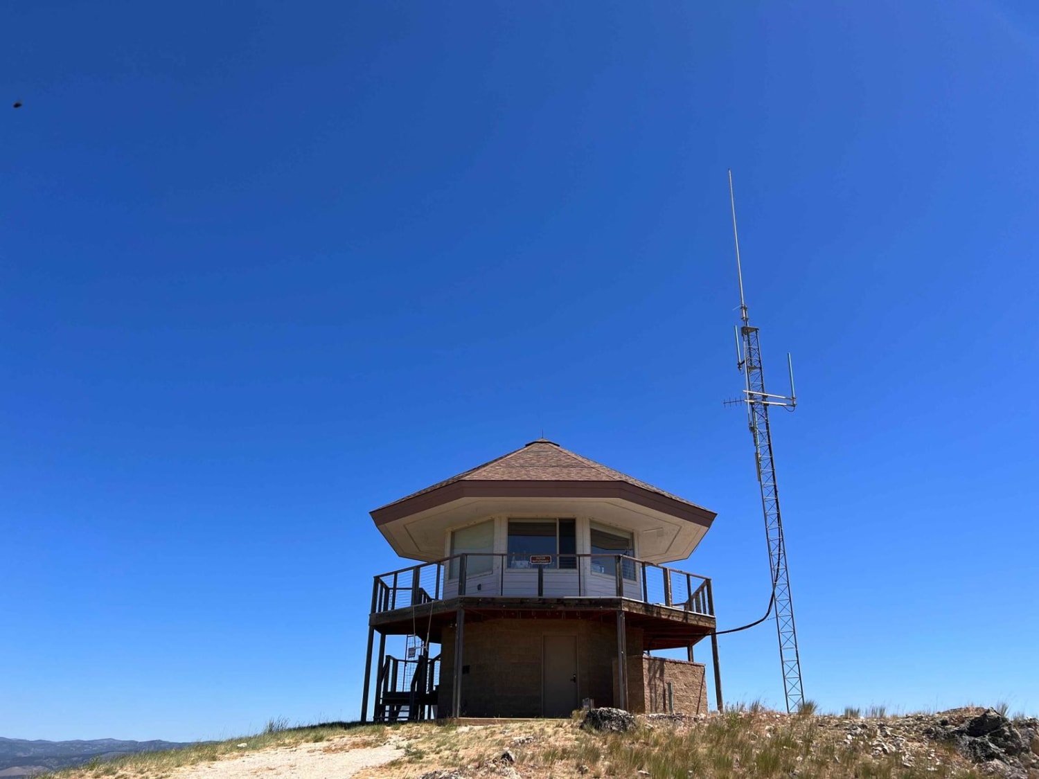
Sula Peak Lookout
Total Miles
4.0
Tech Rating
Moderate
Best Time
Fall, Summer, Spring
Learn more about Summit Cabin Road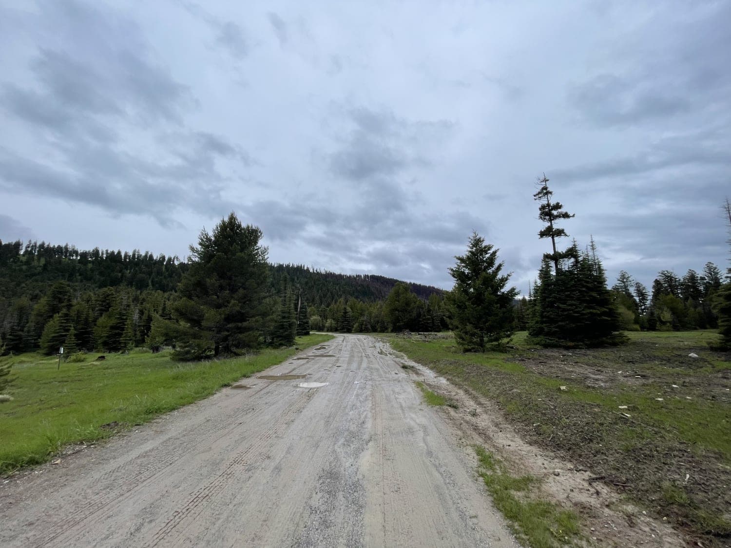
Summit Cabin Road
Total Miles
3.0
Tech Rating
Easy
Best Time
Fall, Summer, Spring
Learn more about Summit Springs/Cripple Horse
Summit Springs/Cripple Horse
Total Miles
21.0
Tech Rating
Easy
Best Time
Spring, Summer, Fall
Learn more about Sun Canyon Road
Sun Canyon Road
Total Miles
24.4
Tech Rating
Easy
Best Time
Spring, Summer, Fall
Learn more about Sunnyside Road
Sunnyside Road
Total Miles
2.3
Tech Rating
Easy
Best Time
Spring, Summer, Fall
Learn more about Sunrise Point Road
Sunrise Point Road
Total Miles
10.5
Tech Rating
Easy
Best Time
Spring, Summer, Fall
Learn more about Sunshine Ridge
Sunshine Ridge
Total Miles
2.9
Tech Rating
Easy
Best Time
Spring, Summer, Fall
Learn more about Sureshot Lakes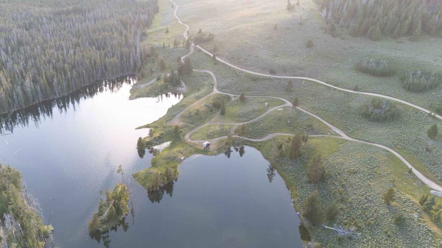
Sureshot Lakes
Total Miles
5.5
Tech Rating
Easy
Best Time
Spring, Summer, Fall
ATV trails in Montana
Learn more about $50,000 Silver Dollar Inn - FSR 288
$50,000 Silver Dollar Inn - FSR 288
Total Miles
7.5
Tech Rating
Easy
Best Time
Spring, Summer, Fall
Learn more about 2103 West Fork Gold Creek
2103 West Fork Gold Creek
Total Miles
5.7
Tech Rating
Easy
Best Time
Spring, Summer, Fall, Winter
Learn more about 4W-7736 - Big Flat Trail
4W-7736 - Big Flat Trail
Total Miles
3.6
Tech Rating
Easy
Best Time
Spring, Summer, Fall
Learn more about 4W-7829 - Mink Peak Jeep Trail
4W-7829 - Mink Peak Jeep Trail
Total Miles
4.4
Tech Rating
Easy
Best Time
Spring, Summer, Fall
UTV/side-by-side trails in Montana
Learn more about $50,000 Silver Dollar Inn - FSR 288
$50,000 Silver Dollar Inn - FSR 288
Total Miles
7.5
Tech Rating
Easy
Best Time
Spring, Summer, Fall
Learn more about 2103 West Fork Gold Creek
2103 West Fork Gold Creek
Total Miles
5.7
Tech Rating
Easy
Best Time
Spring, Summer, Fall, Winter
Learn more about 4W-7736 - Big Flat Trail
4W-7736 - Big Flat Trail
Total Miles
3.6
Tech Rating
Easy
Best Time
Spring, Summer, Fall
Learn more about 4W-7829 - Mink Peak Jeep Trail
4W-7829 - Mink Peak Jeep Trail
Total Miles
4.4
Tech Rating
Easy
Best Time
Spring, Summer, Fall
The onX Offroad Difference
onX Offroad combines trail photos, descriptions, difficulty ratings, width restrictions, seasonality, and more in a user-friendly interface. Available on all devices, with offline access and full compatibility with CarPlay and Android Auto. Discover what you’re missing today!