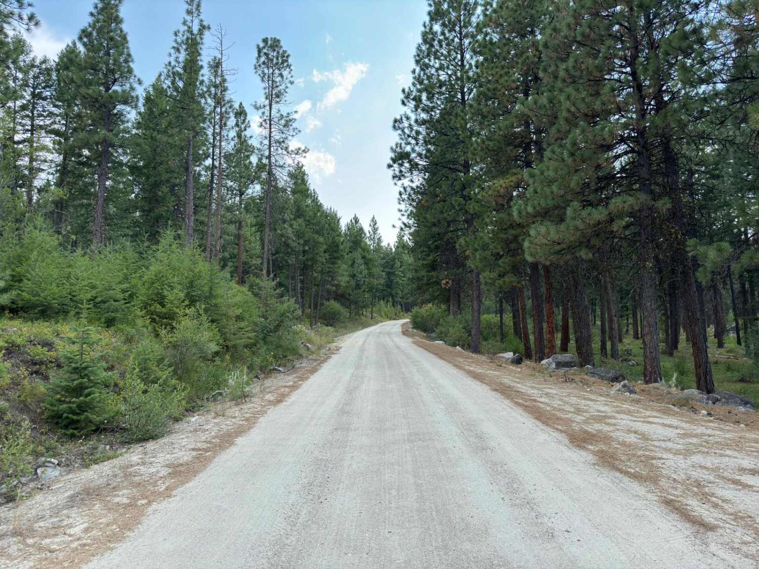
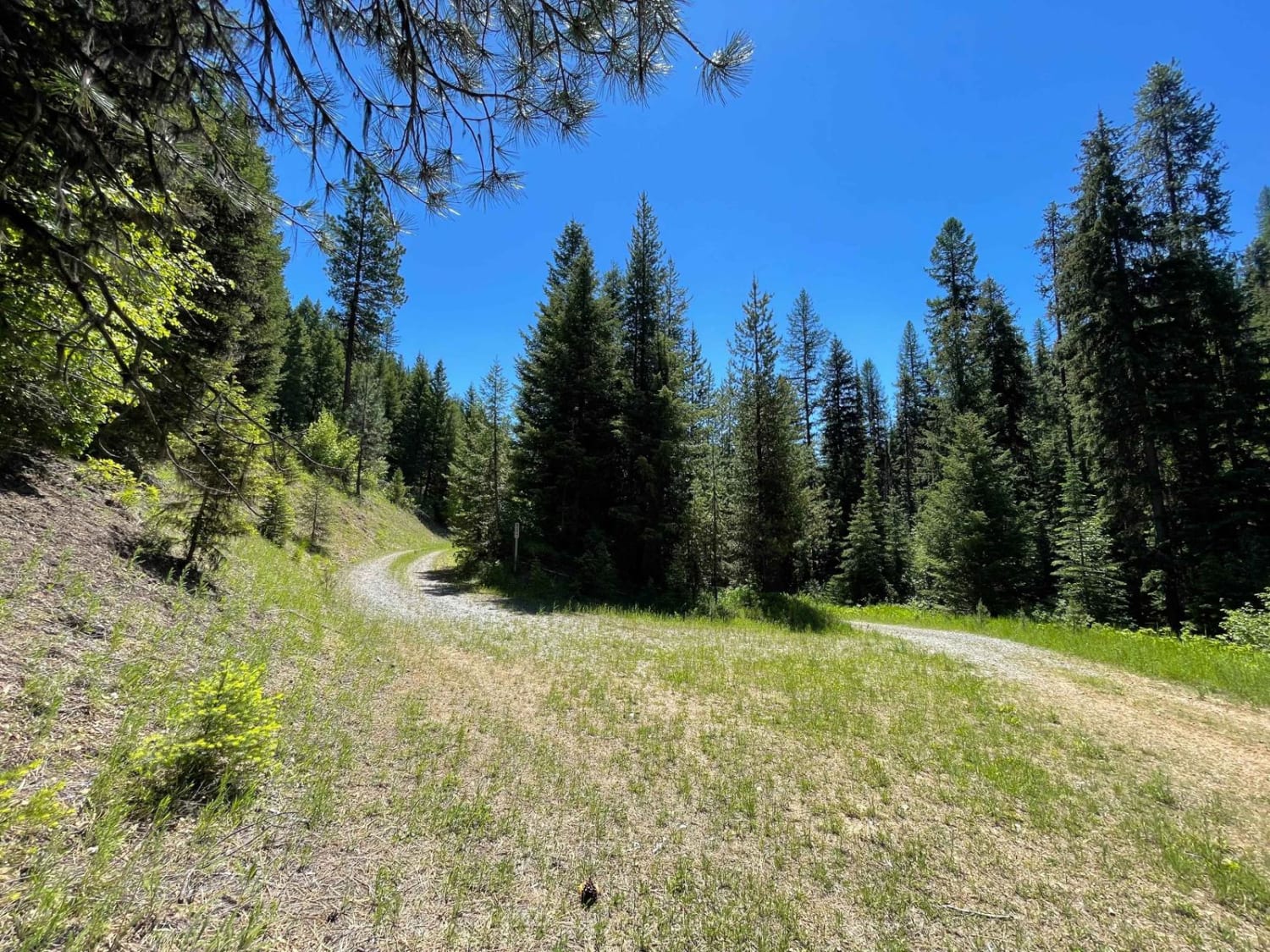
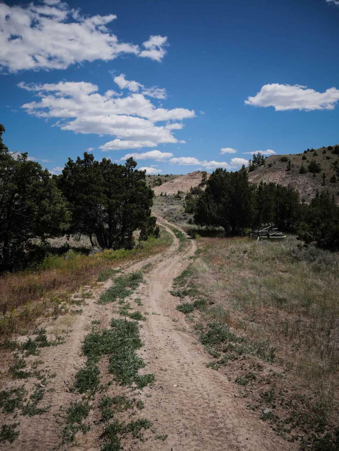
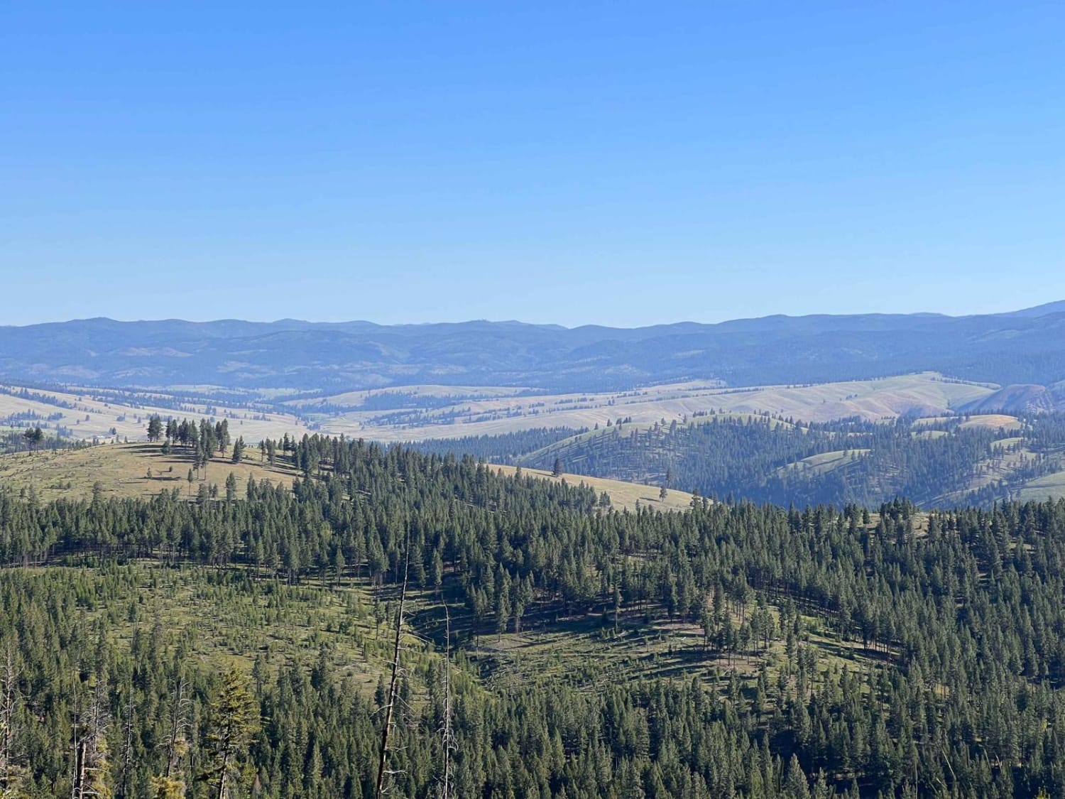
Off-Road Trails in Montana
Discover off-road trails in Montana
Learn more about Virginia Creek (1249)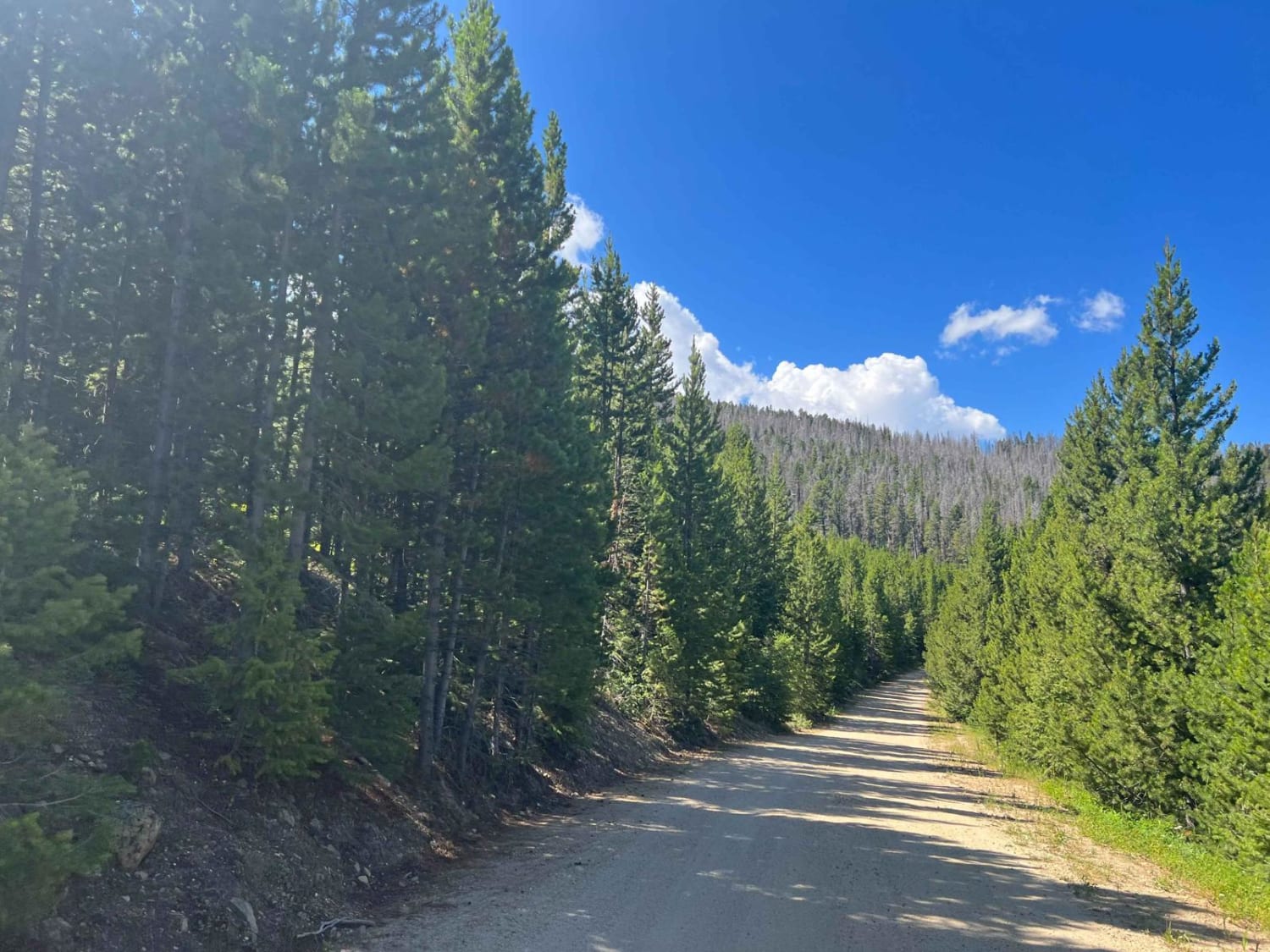
Virginia Creek (1249)
Total Miles
6.1
Tech Rating
Easy
Best Time
Summer, Fall, Spring
Learn more about W. Nine Mile Rd (5520)-First Cr Rd (5475)
W. Nine Mile Rd (5520)-First Cr Rd (5475)
Total Miles
16.5
Tech Rating
Easy
Best Time
Summer, Fall
Learn more about Wagon Mountain Road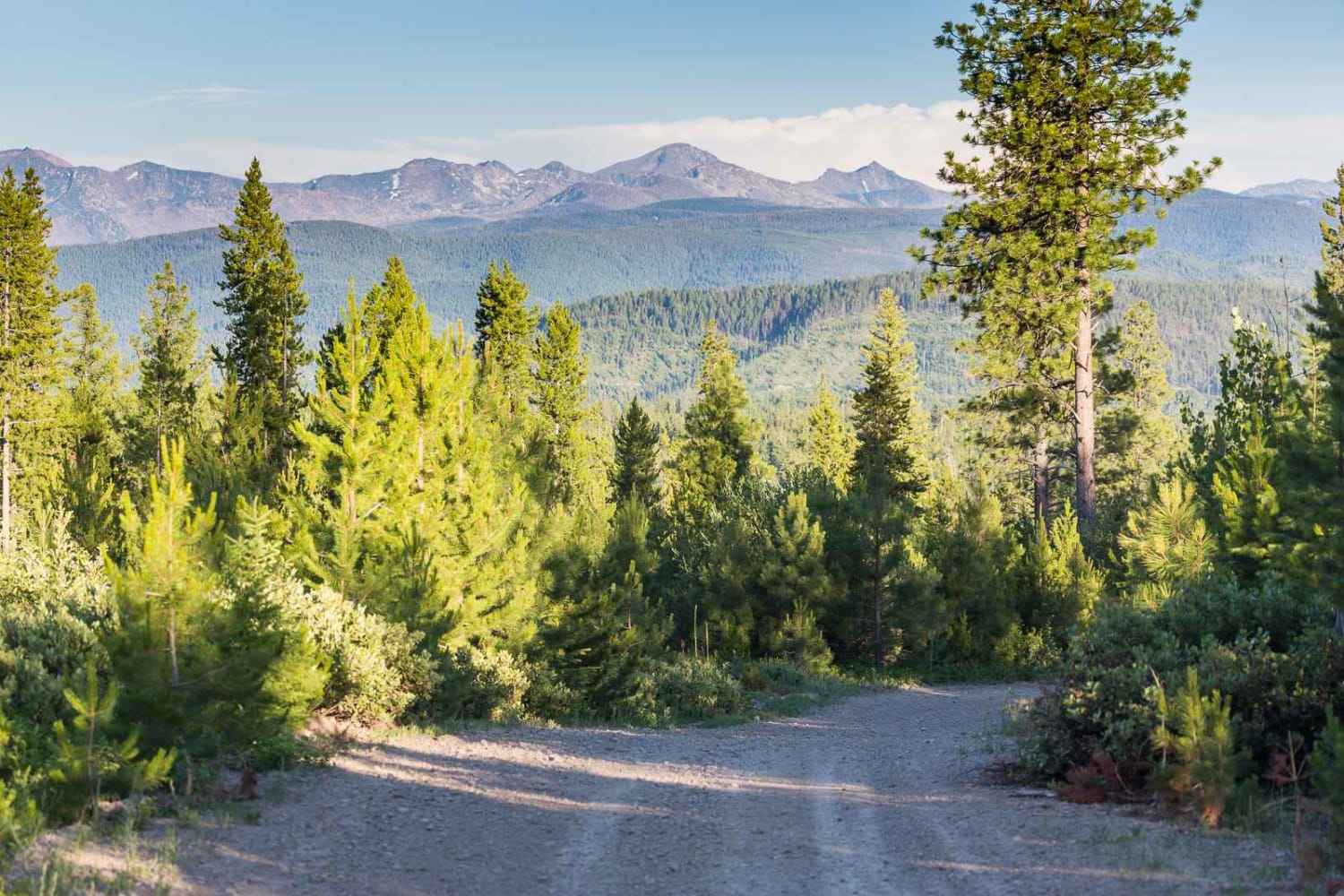
Wagon Mountain Road
Total Miles
17.4
Tech Rating
Easy
Best Time
Summer
Learn more about Ward Creek Trail
Ward Creek Trail
Total Miles
9.0
Tech Rating
Easy
Best Time
Spring, Summer, Fall

Learn more about Warm Springs Creek Rd 170
Warm Springs Creek Rd 170
Total Miles
8.1
Tech Rating
Easy
Best Time
Spring, Summer, Fall
Learn more about Warm Springs Creek Road (FA 163) w/Cow Camp Road (FS1234)
Warm Springs Creek Road (FA 163) w/Cow Camp Road (FS1234)
Total Miles
10.9
Tech Rating
Easy
Best Time
Fall, Summer
Learn more about Warm Springs Creek Road (FA 163)/Cow Camp Road (FS 1234)
Warm Springs Creek Road (FA 163)/Cow Camp Road (FS 1234)
Total Miles
10.9
Tech Rating
Easy
Best Time
Fall, Summer
Learn more about Warm Springs Creek Road 170
Warm Springs Creek Road 170
Total Miles
8.0
Tech Rating
Easy
Best Time
Spring, Summer, Fall
Learn more about Warm Springs Laird
Warm Springs Laird
Total Miles
4.8
Tech Rating
Easy
Best Time
Summer, Fall
Learn more about Warm Springs Ridge
Warm Springs Ridge
Total Miles
16.6
Tech Rating
Moderate
Best Time
Summer, Fall
Learn more about Weasel Creek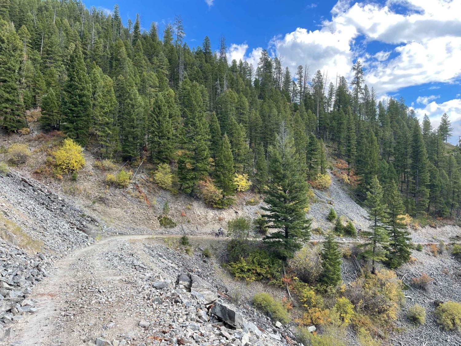
Weasel Creek
Total Miles
4.8
Tech Rating
Moderate
Best Time
Fall, Spring, Summer
Learn more about West Bridger Creek Cruise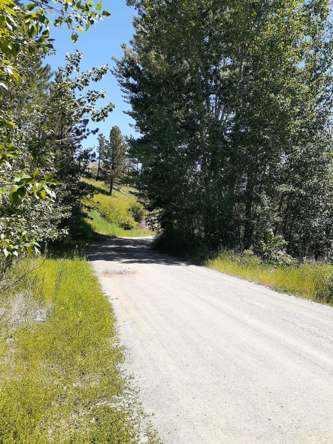
West Bridger Creek Cruise
Total Miles
5.2
Tech Rating
Easy
Best Time
Spring, Summer, Fall
Learn more about West Fork Butte
West Fork Butte
Total Miles
14.0
Tech Rating
Easy
Best Time
Summer, Spring, Fall
Learn more about West Fork Camp Creek
West Fork Camp Creek
Total Miles
9.0
Tech Rating
Moderate
Best Time
Summer, Fall
ATV trails in Montana
Learn more about $50,000 Silver Dollar Inn - FSR 288
$50,000 Silver Dollar Inn - FSR 288
Total Miles
7.5
Tech Rating
Easy
Best Time
Spring, Summer, Fall
Learn more about 2103 West Fork Gold Creek
2103 West Fork Gold Creek
Total Miles
5.7
Tech Rating
Easy
Best Time
Spring, Summer, Fall, Winter
Learn more about 4W-7736 - Big Flat Trail
4W-7736 - Big Flat Trail
Total Miles
3.6
Tech Rating
Easy
Best Time
Spring, Summer, Fall
Learn more about 4W-7829 - Mink Peak Jeep Trail
4W-7829 - Mink Peak Jeep Trail
Total Miles
4.4
Tech Rating
Easy
Best Time
Spring, Summer, Fall
UTV/side-by-side trails in Montana
Learn more about $50,000 Silver Dollar Inn - FSR 288
$50,000 Silver Dollar Inn - FSR 288
Total Miles
7.5
Tech Rating
Easy
Best Time
Spring, Summer, Fall
Learn more about 2103 West Fork Gold Creek
2103 West Fork Gold Creek
Total Miles
5.7
Tech Rating
Easy
Best Time
Spring, Summer, Fall, Winter
Learn more about 4W-7736 - Big Flat Trail
4W-7736 - Big Flat Trail
Total Miles
3.6
Tech Rating
Easy
Best Time
Spring, Summer, Fall
Learn more about 4W-7829 - Mink Peak Jeep Trail
4W-7829 - Mink Peak Jeep Trail
Total Miles
4.4
Tech Rating
Easy
Best Time
Spring, Summer, Fall
The onX Offroad Difference
onX Offroad combines trail photos, descriptions, difficulty ratings, width restrictions, seasonality, and more in a user-friendly interface. Available on all devices, with offline access and full compatibility with CarPlay and Android Auto. Discover what you’re missing today!