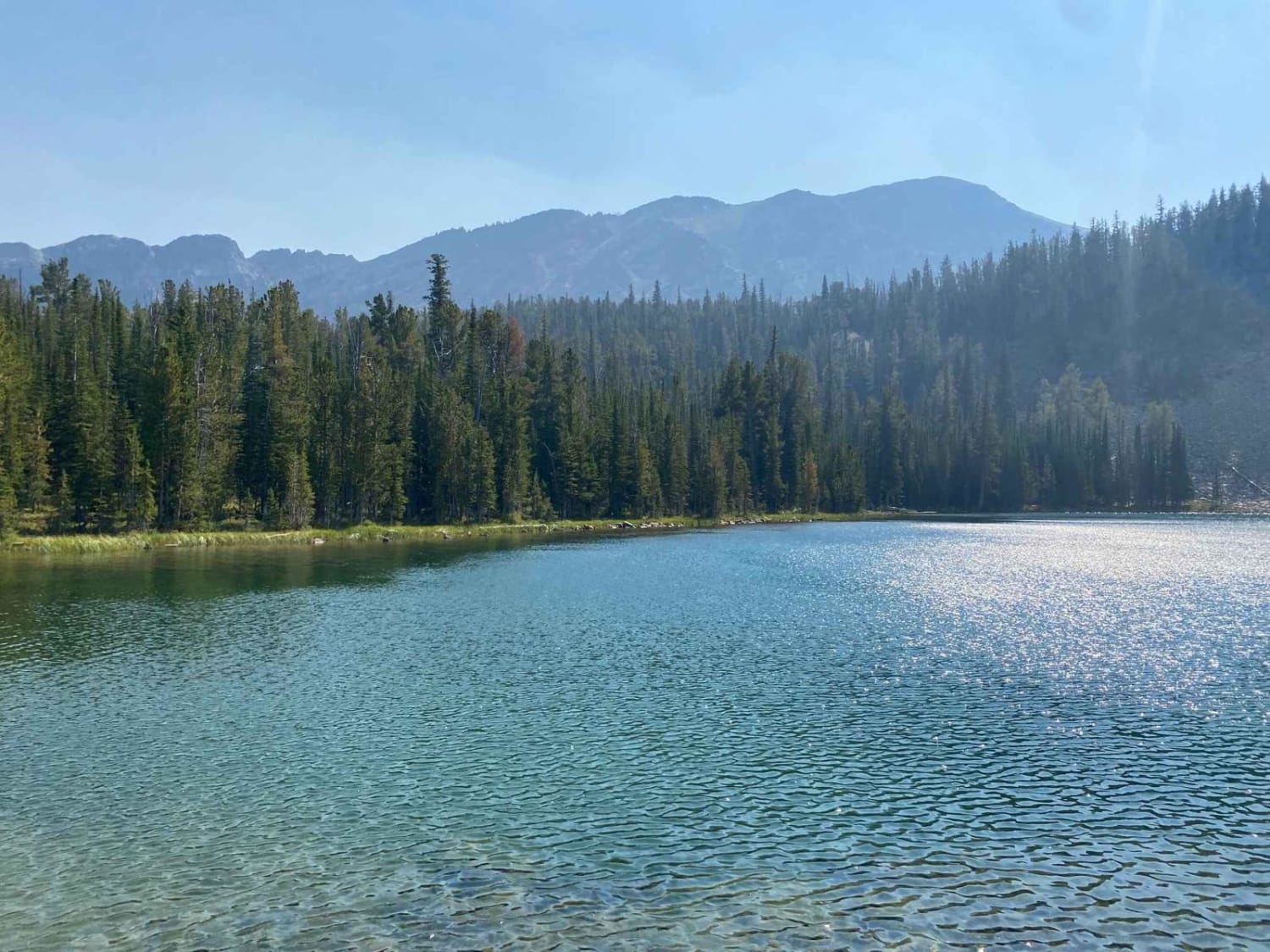
Off-Road Trails in Montana
Discover off-road trails in Montana
Learn more about Sweathouse Creek
Sweathouse Creek
Total Miles
2.5
Tech Rating
Difficult
Best Time
Spring, Summer, Fall
Learn more about Swede Mountain Runabout
Swede Mountain Runabout
Total Miles
14.4
Tech Rating
Easy
Best Time
Spring, Summer, Fall
Learn more about Sweeney Creek Trail
Sweeney Creek Trail
Total Miles
6.2
Tech Rating
Easy
Best Time
Summer, Fall
Learn more about Swift Creek Trailhead
Swift Creek Trailhead
Total Miles
2.7
Tech Rating
Easy
Best Time
Fall, Summer, Spring
Learn more about Tamarack Creek - FS 284
Tamarack Creek - FS 284
Total Miles
16.0
Tech Rating
Easy
Best Time
Summer
Learn more about Teepee Point Vehicle Access
Teepee Point Vehicle Access
Total Miles
4.6
Tech Rating
Easy
Best Time
Fall, Summer, Spring
Learn more about Ten Mile Creek Road
Ten Mile Creek Road
Total Miles
5.7
Tech Rating
Easy
Best Time
Spring, Summer, Fall
Learn more about Tepee Creek - 13314 (East Portion)
Tepee Creek - 13314 (East Portion)
Total Miles
0.9
Tech Rating
Easy
Best Time
Spring, Summer, Fall
Learn more about Tepee Creek Trail
Tepee Creek Trail
Total Miles
6.1
Tech Rating
Easy
Best Time
Spring, Summer, Fall
Learn more about Tepee Creek- 13313 (Southern Portion)
Tepee Creek- 13313 (Southern Portion)
Total Miles
11.6
Tech Rating
Easy
Best Time
Spring, Summer, Fall
Learn more about Tepee Point Lookout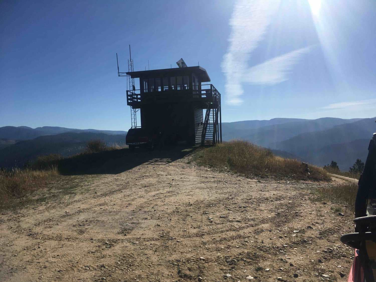
Tepee Point Lookout
Total Miles
1.5
Tech Rating
Easy
Best Time
Summer, Fall
Learn more about The Good, the Bad and the Ugly
The Good, the Bad and the Ugly
Total Miles
5.5
Tech Rating
Moderate
Best Time
Summer, Spring, Fall
Learn more about Thompson Falls and Rock Creek Trail - FS 352 / 378
Thompson Falls and Rock Creek Trail - FS 352 / 378
Total Miles
9.8
Tech Rating
Easy
Best Time
Spring, Summer, Fall
Learn more about Thompson Peak Lookout Tower
Thompson Peak Lookout Tower
Total Miles
4.7
Tech Rating
Easy
Best Time
Summer, Fall
Learn more about Thompson River Road
Thompson River Road
Total Miles
38.5
Tech Rating
Easy
Best Time
Spring, Summer, Fall
ATV trails in Montana
Learn more about $50,000 Silver Dollar Inn - FSR 288
$50,000 Silver Dollar Inn - FSR 288
Total Miles
7.5
Tech Rating
Easy
Best Time
Spring, Summer, Fall
Learn more about 2103 West Fork Gold Creek
2103 West Fork Gold Creek
Total Miles
5.7
Tech Rating
Easy
Best Time
Spring, Summer, Fall, Winter
Learn more about 4W-7736 - Big Flat Trail
4W-7736 - Big Flat Trail
Total Miles
3.6
Tech Rating
Easy
Best Time
Spring, Summer, Fall
Learn more about 4W-7829 - Mink Peak Jeep Trail
4W-7829 - Mink Peak Jeep Trail
Total Miles
4.4
Tech Rating
Easy
Best Time
Spring, Summer, Fall
UTV/side-by-side trails in Montana
Learn more about $50,000 Silver Dollar Inn - FSR 288
$50,000 Silver Dollar Inn - FSR 288
Total Miles
7.5
Tech Rating
Easy
Best Time
Spring, Summer, Fall
Learn more about 2103 West Fork Gold Creek
2103 West Fork Gold Creek
Total Miles
5.7
Tech Rating
Easy
Best Time
Spring, Summer, Fall, Winter
Learn more about 4W-7736 - Big Flat Trail
4W-7736 - Big Flat Trail
Total Miles
3.6
Tech Rating
Easy
Best Time
Spring, Summer, Fall
Learn more about 4W-7829 - Mink Peak Jeep Trail
4W-7829 - Mink Peak Jeep Trail
Total Miles
4.4
Tech Rating
Easy
Best Time
Spring, Summer, Fall
The onX Offroad Difference
onX Offroad combines trail photos, descriptions, difficulty ratings, width restrictions, seasonality, and more in a user-friendly interface. Available on all devices, with offline access and full compatibility with CarPlay and Android Auto. Discover what you’re missing today!