Tepee Creek- 13313 (Southern Portion)
Total Miles
11.6
Technical Rating
Best Time
Spring, Summer, Fall
Trail Type
High-Clearance 4x4 Trail
Accessible By
Trail Overview
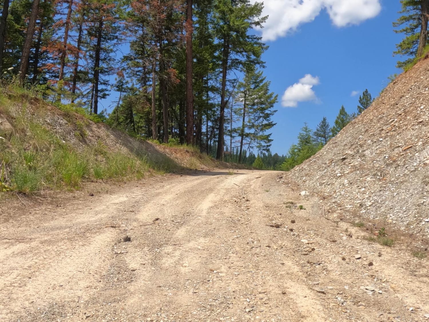
This trail is based on an old logging road and is designated for use by high clearance 4X4, 60" SXS, 50" ATVs, and Dirt Bikes. The tread is dirt and one lane, but stable and with frequent passing turnouts. Occasional deadfall narrows the usable width of the trail, but otherwise, there is little difficulty for the traveler on this route. The trail itself passes through a dense mixed fir and pine stand, some of which are quite large. On the eastern end of the road, the Forest Service has been doing some vegetation treatments to reduce the risk of wildfires by clearing the understory. On the western half of this trail, there is a significant risk of deadfall on the trail, so a chainsaw is highly recommended.
Photos of Tepee Creek- 13313 (Southern Portion)

Difficulty
The tread for this trail is stable and a full lane wide with many pull-outs for passing. Other than the occasional presence of deadfall, there are no difficulties traveling this trail.
Status Reports
Tepee Creek- 13313 (Southern Portion) can be accessed by the following ride types:
- High-Clearance 4x4
- SxS (60")
- ATV (50")
- Dirt Bike
Tepee Creek- 13313 (Southern Portion) Map
Popular Trails

Old Milwaukee Grade- FS 300-1
Clancy Creek Road
Whits Lake Trail
Flat Creek Road - Pardee Creek Road
The onX Offroad Difference
onX Offroad combines trail photos, descriptions, difficulty ratings, width restrictions, seasonality, and more in a user-friendly interface. Available on all devices, with offline access and full compatibility with CarPlay and Android Auto. Discover what you’re missing today!