Swift Creek Trailhead
Total Miles
2.7
Technical Rating
Best Time
Fall, Summer, Spring
Trail Type
Full-Width Road
Accessible By
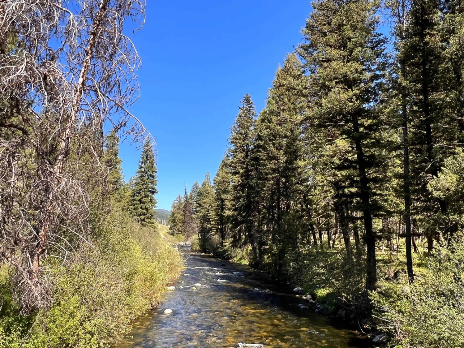
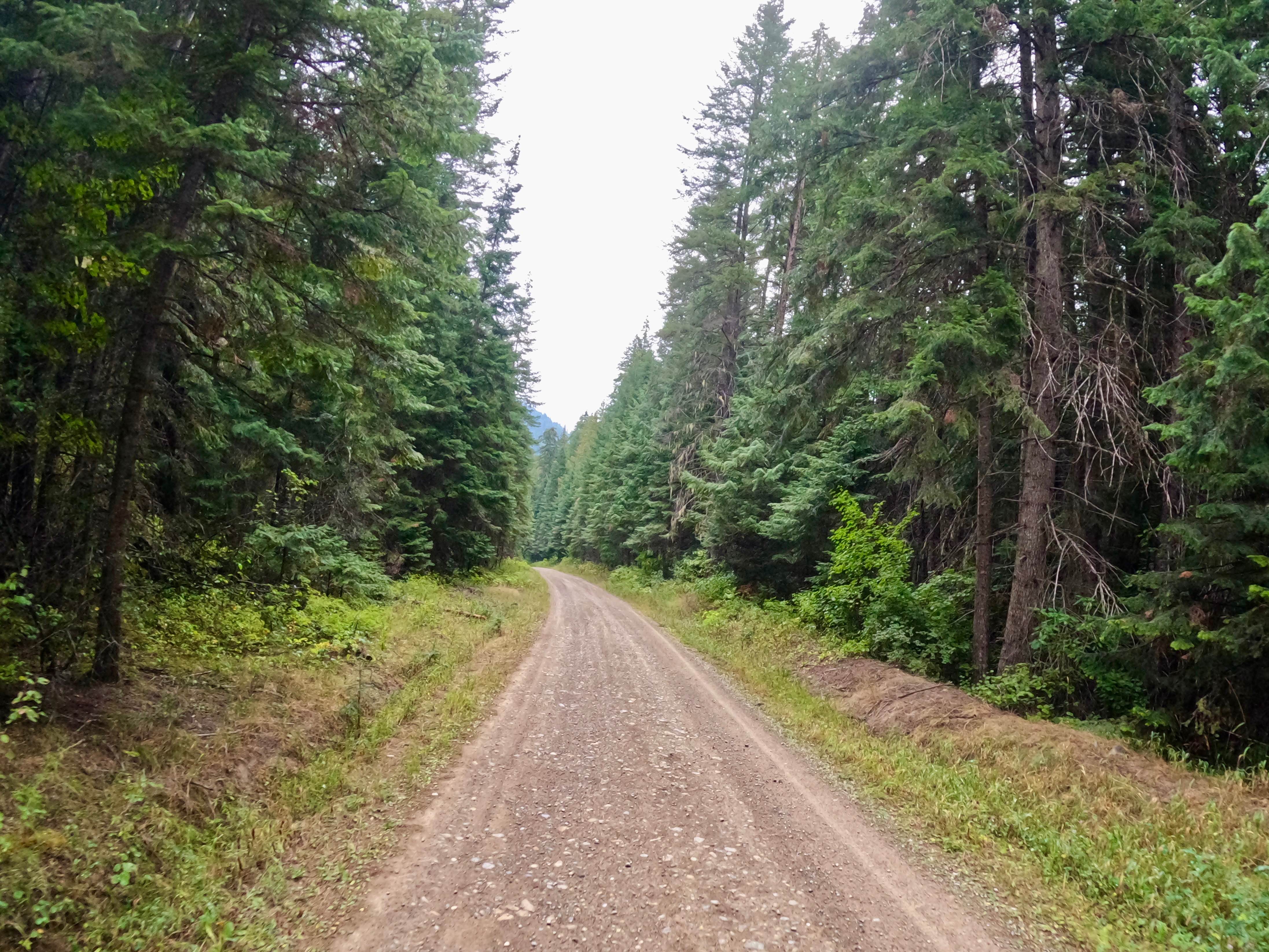
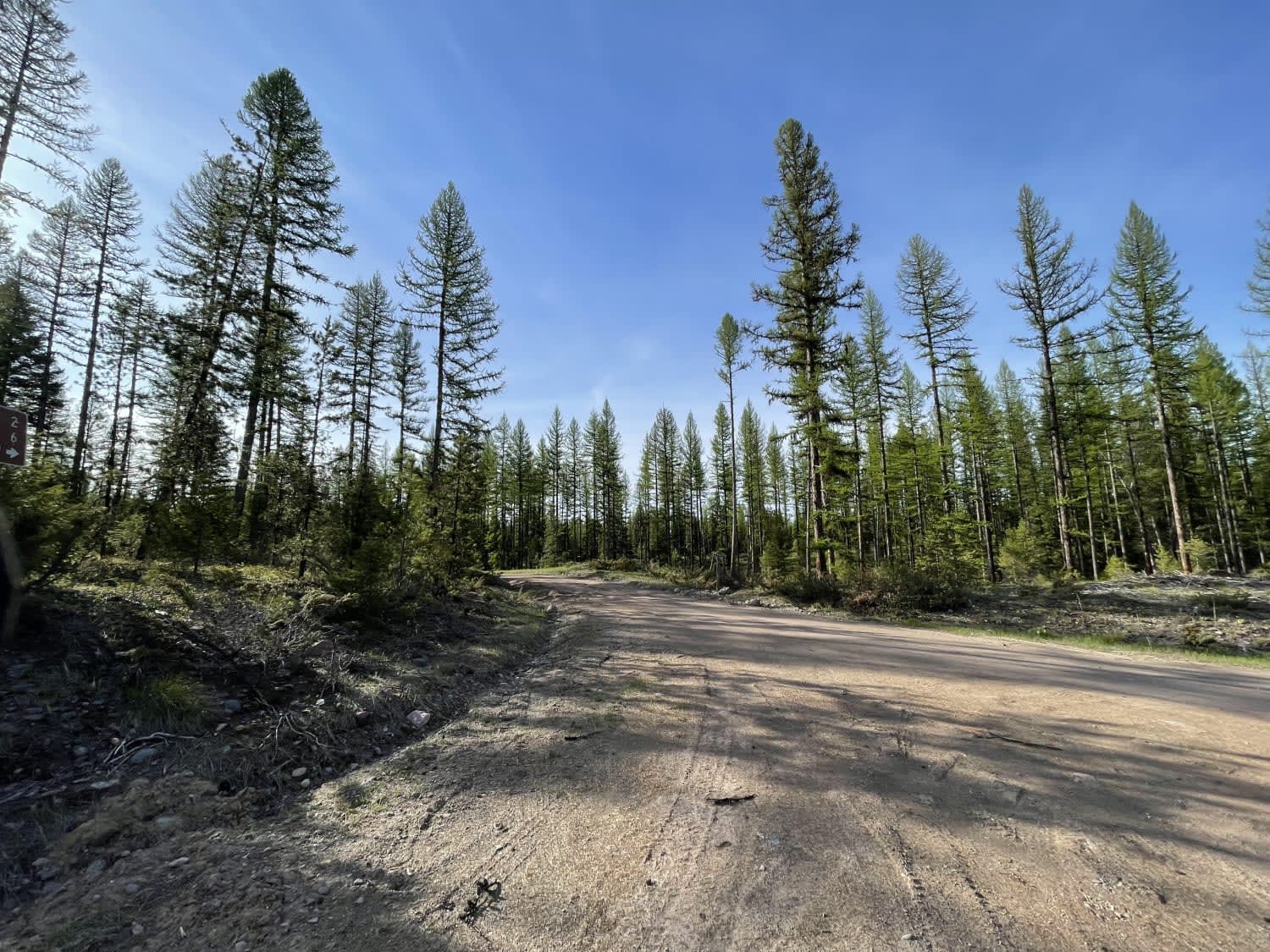
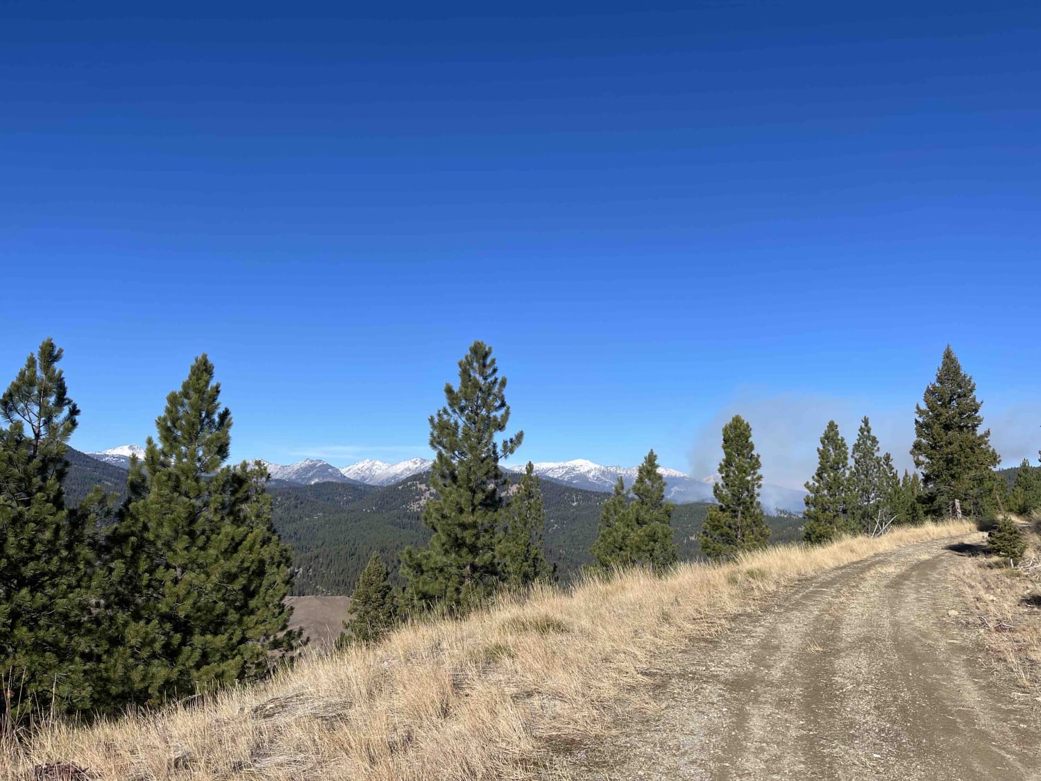
Trail Overview
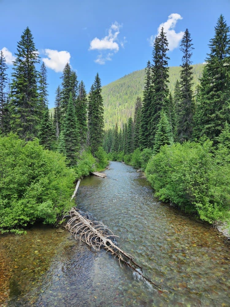
This is a well-maintained dirt trail that almost any 2WD passenger car could make. The trail runs along a river, then Forks away, and continues along a smaller creek. There is a large dispersed campsite at the beginning of the trail on the left after you cross the bridge right over the river. The trail ends at a hiking trail with access for horses, and stock sign-in and permits are required. Please look those up before attempting the trail. There are quite a few pull-offs along the main trail. They are along the river with plenty of access down to the water. It's not maintained in the winter. This area has no cell service.
Photos of Swift Creek Trailhead

Difficulty
Generally easy with some potholes and general washboard
Status Reports
Swift Creek Trailhead can be accessed by the following ride types:
- High-Clearance 4x4
- SUV
- SxS (60")
- ATV (50")
- Dirt Bike
Swift Creek Trailhead Map
Popular Trails
South Fork Little Joe Creek - FS 221
Salish Trapper
Blue Joint Coal Creek Ridge
Coal Creek to Dead Horse #317
The onX Offroad Difference
onX Offroad combines trail photos, descriptions, difficulty ratings, width restrictions, seasonality, and more in a user-friendly interface. Available on all devices, with offline access and full compatibility with CarPlay and Android Auto. Discover what you’re missing today!