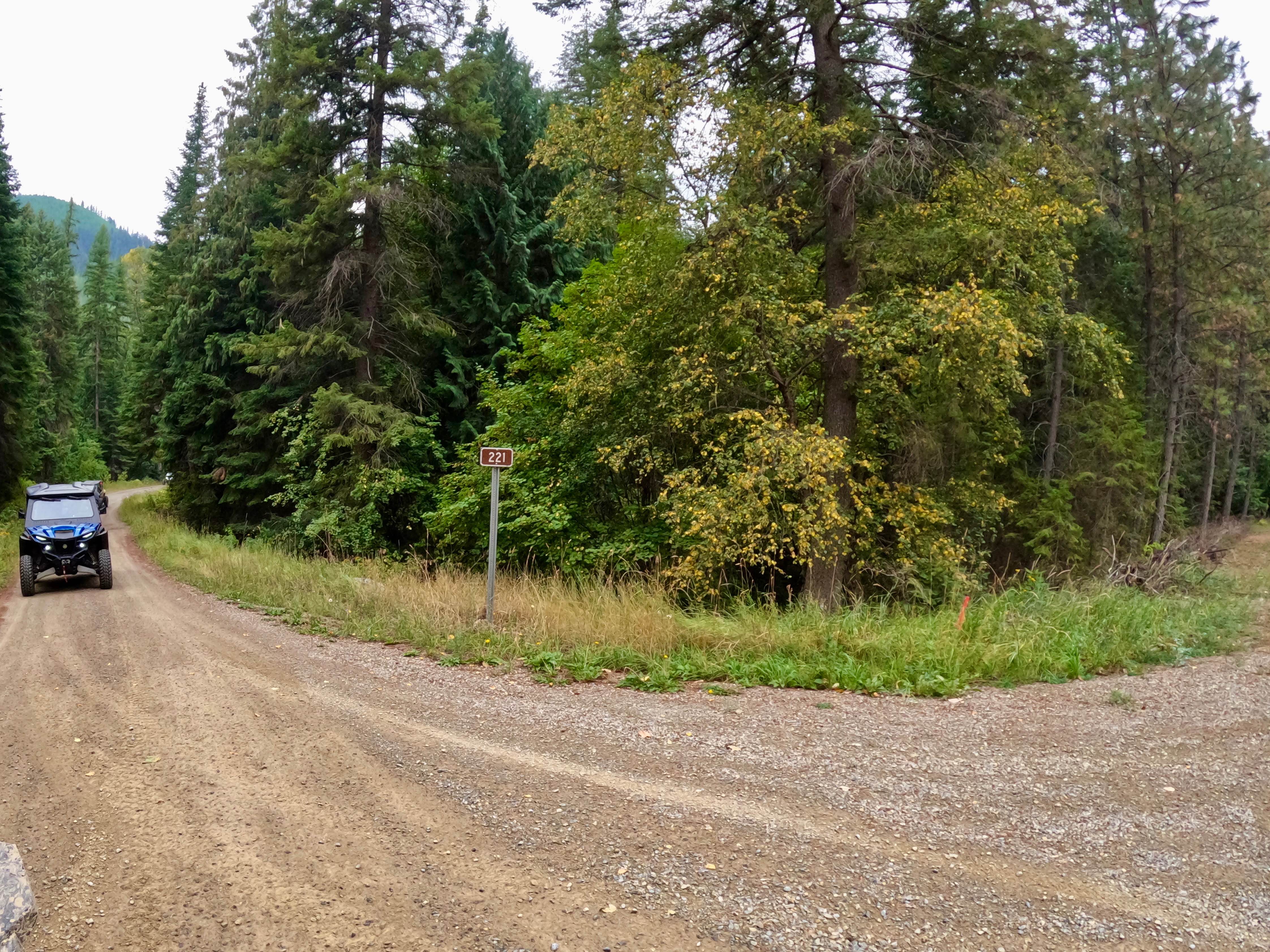
South Fork Little Joe Creek - FS 221
Total Miles
6.8
Technical Rating
Best Time
Spring, Summer, Fall
Trail Type
Full-Width Road
Accessible By
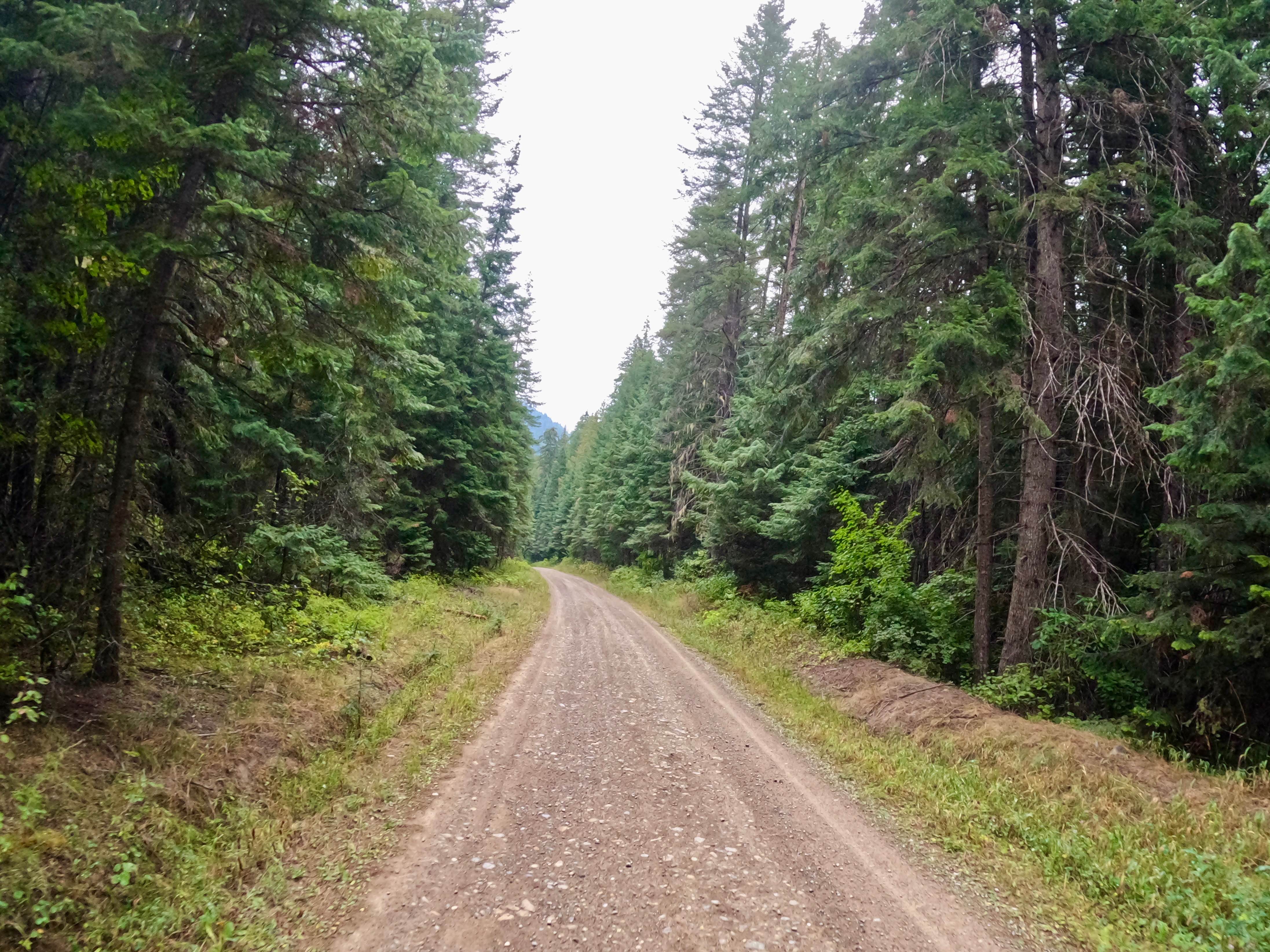
Trail Overview
The route begins at the turn to Moore Lake (FS9121) and ends at Little Joe Creek Road (FS282). The route is made up of smooth gravel and dirt with long straight aways. The route in most parts is two lanes wide with very gentle turns. Cell Service is iffy along the route. The route begins at an altitude of 4000 feet and will descend to 2800 feet. Cedar and Pine forests line the route with much vegetation along the sides. The route can be dry and dusty at times.
Photos of South Fork Little Joe Creek - FS 221
Difficulty
This route is easy and non-technical with very easy turns; however, it can become very dusty in the dry months.
Status Reports
South Fork Little Joe Creek - FS 221 can be accessed by the following ride types:
- High-Clearance 4x4
- SUV
- SxS (60")
- ATV (50")
- Dirt Bike
South Fork Little Joe Creek - FS 221 Map
Popular Trails
Drop Tube Part 1

Lower Buck Ridge ATV

Cabin Creek Cabin
The onX Offroad Difference
onX Offroad combines trail photos, descriptions, difficulty ratings, width restrictions, seasonality, and more in a user-friendly interface. Available on all devices, with offline access and full compatibility with CarPlay and Android Auto. Discover what you’re missing today!