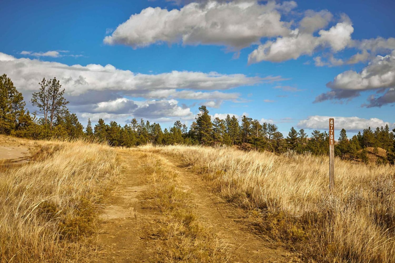
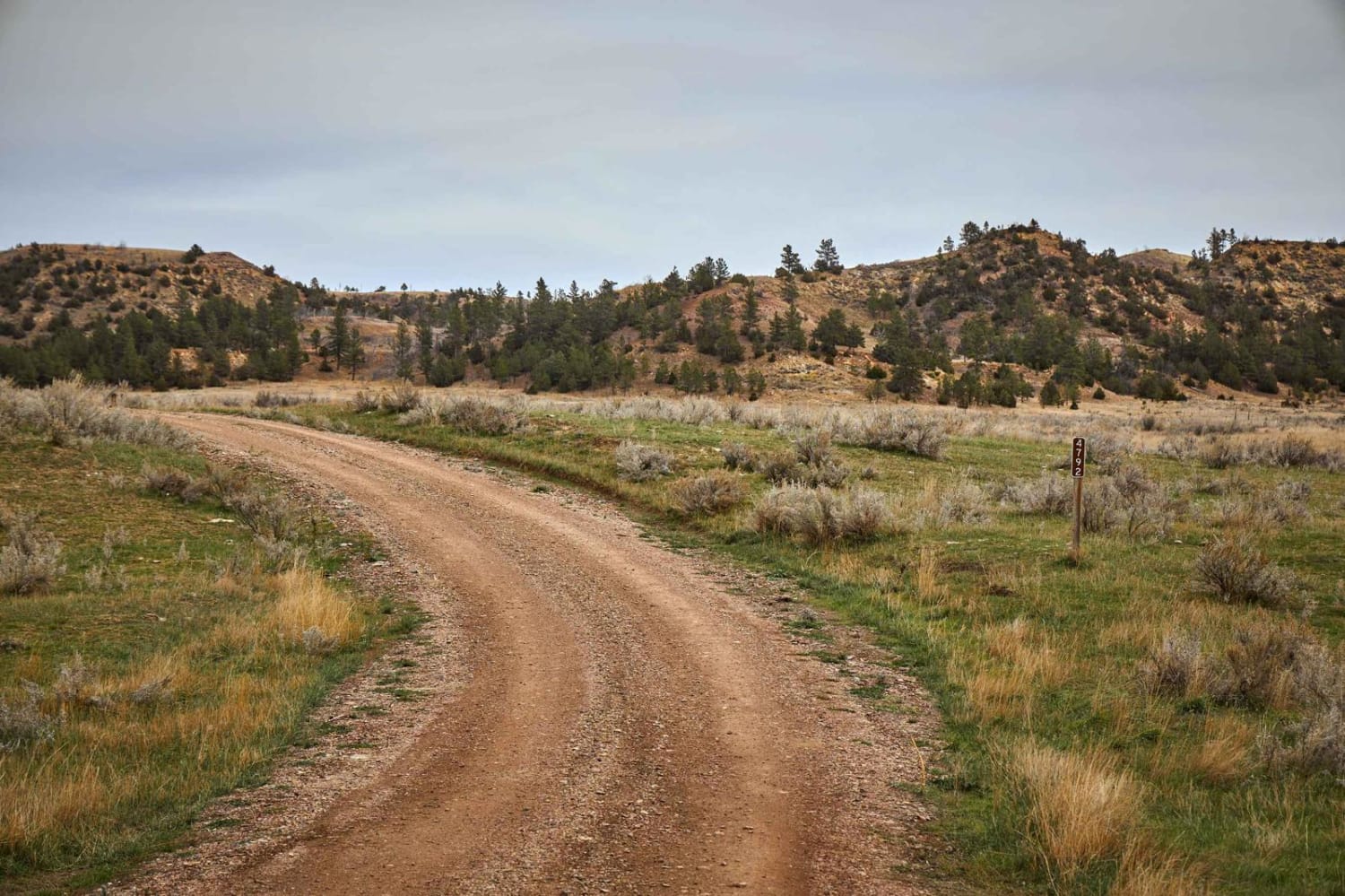
FSR 47781
Total Miles
1.1
Technical Rating
Best Time
Spring, Summer, Fall
Trail Type
Full-Width Road
Accessible By
Trail Overview
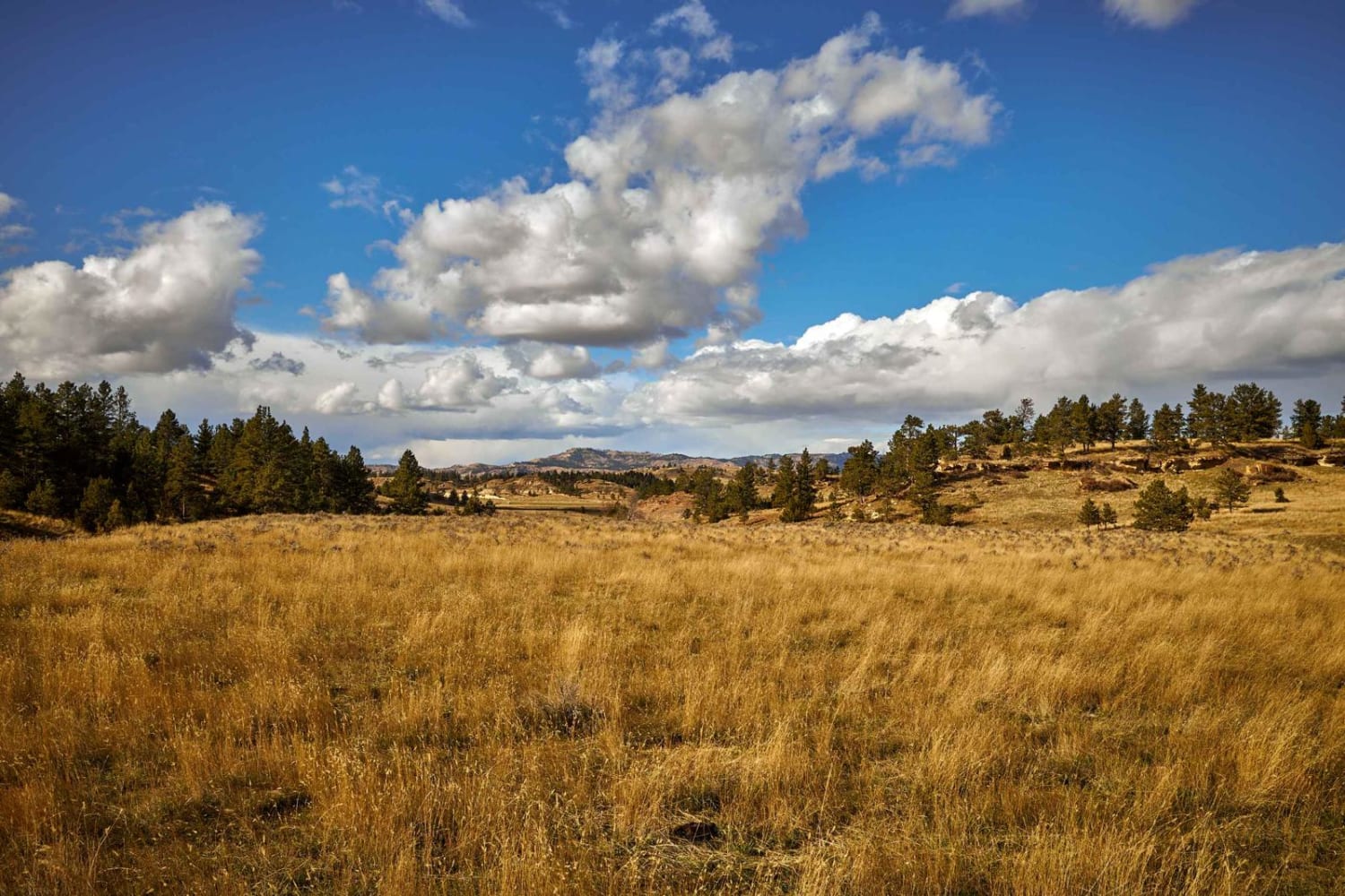
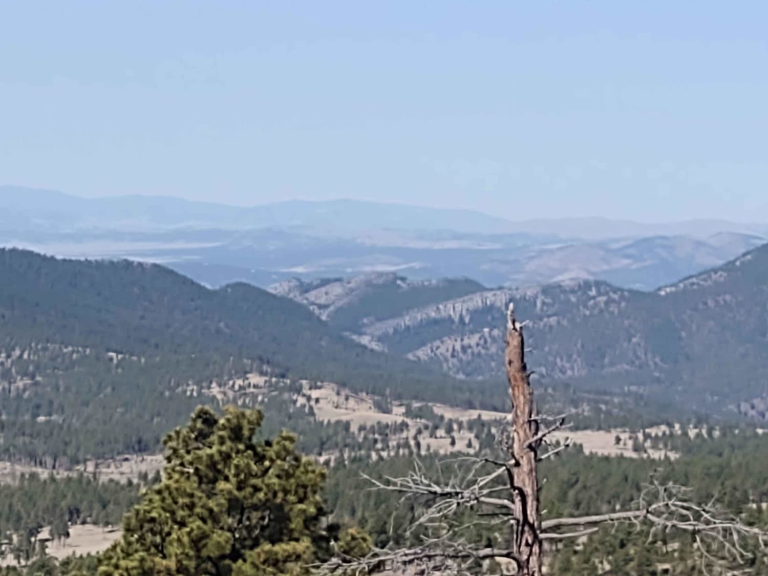
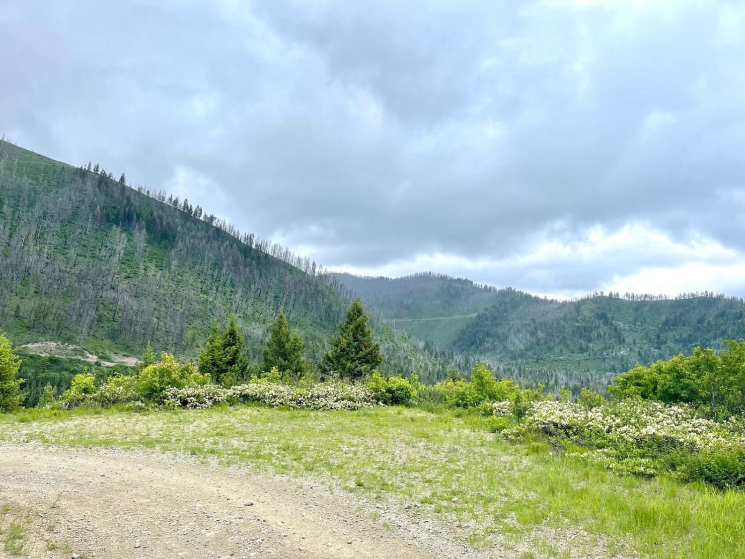
Montana Road 47781 isn't much of one at all, but more like a rutted track through the high grassland of Montana. With views of buttes and forest, the road proved challenging after rain and snow, leaving nothing but deep mud ruts and slick grasses for traction. There are no campsites off of this road, and no obstacles more than 12", though you might find shallow water crossings during the rainy season. Please watch out for hunters and cattle grazing, as both are active in the area.
Photos of FSR 47781
Difficulty
Mud track with little to no traction after a rain or snow.
Status Reports
FSR 47781 can be accessed by the following ride types:
- High-Clearance 4x4
- SUV
- SxS (60")
- ATV (50")
- Dirt Bike
FSR 47781 Map
Popular Trails
Reanus Cone Trail Part 2

Sixteen Mile Creek Road
South Cottonwood
The onX Offroad Difference
onX Offroad combines trail photos, descriptions, difficulty ratings, width restrictions, seasonality, and more in a user-friendly interface. Available on all devices, with offline access and full compatibility with CarPlay and Android Auto. Discover what you’re missing today!