Thompson Peak Lookout Tower
Total Miles
4.7
Technical Rating
Best Time
Summer, Fall
Trail Type
Full-Width Road
Accessible By
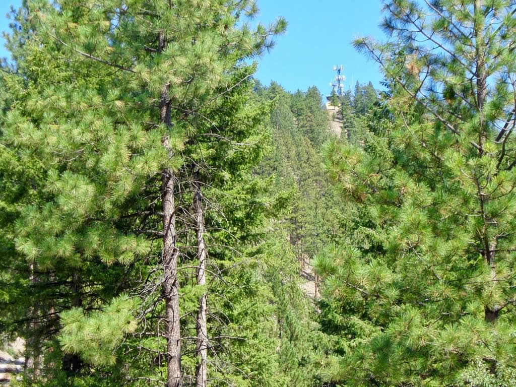
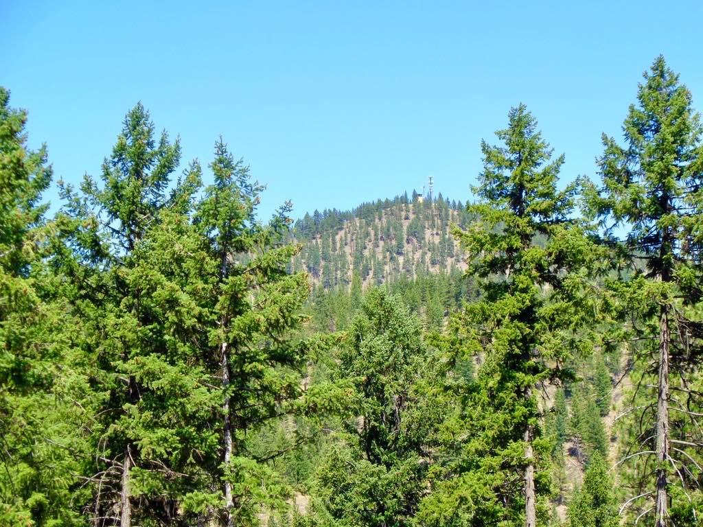
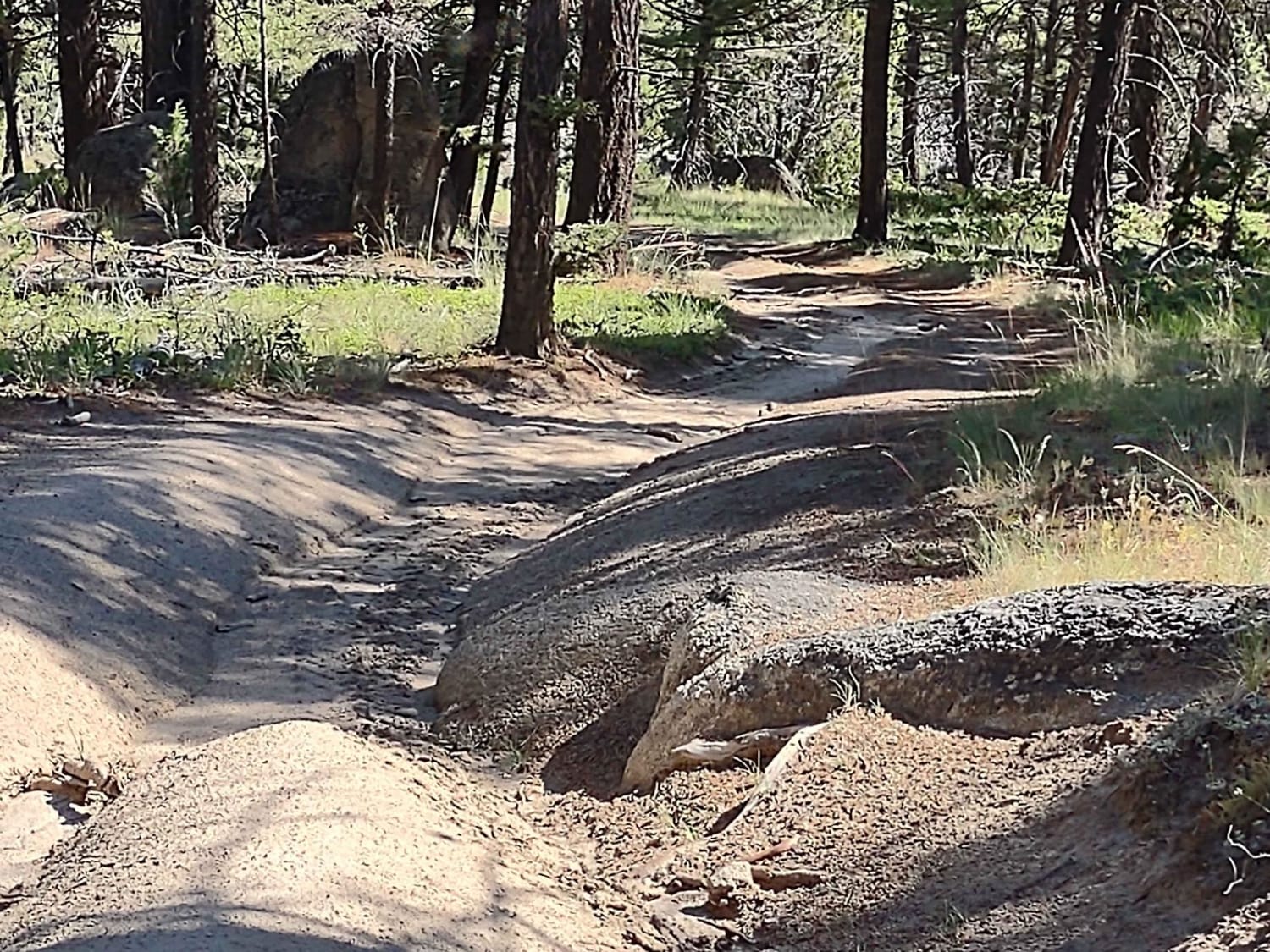
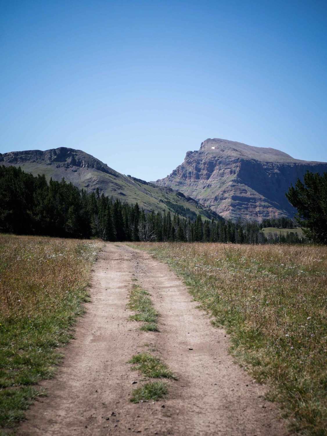
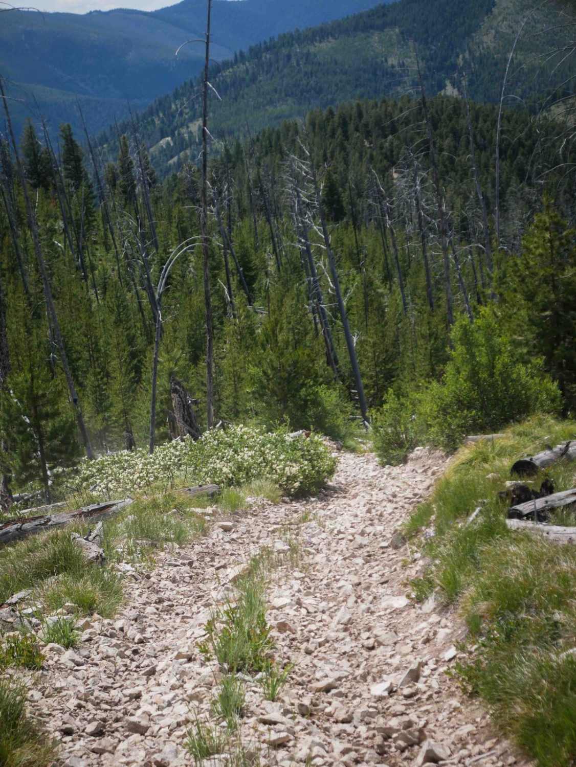
Trail Overview
The route is mostly a two-lane gravel road with some loose rock in place. The route is a very scenic climb from an elevation of 2900'-4100'. The route ends at a locked gate, which is a 1-mile hike to the Lookout Tower. Parking is available at the closed gate. The route can be dusty in dry weather.
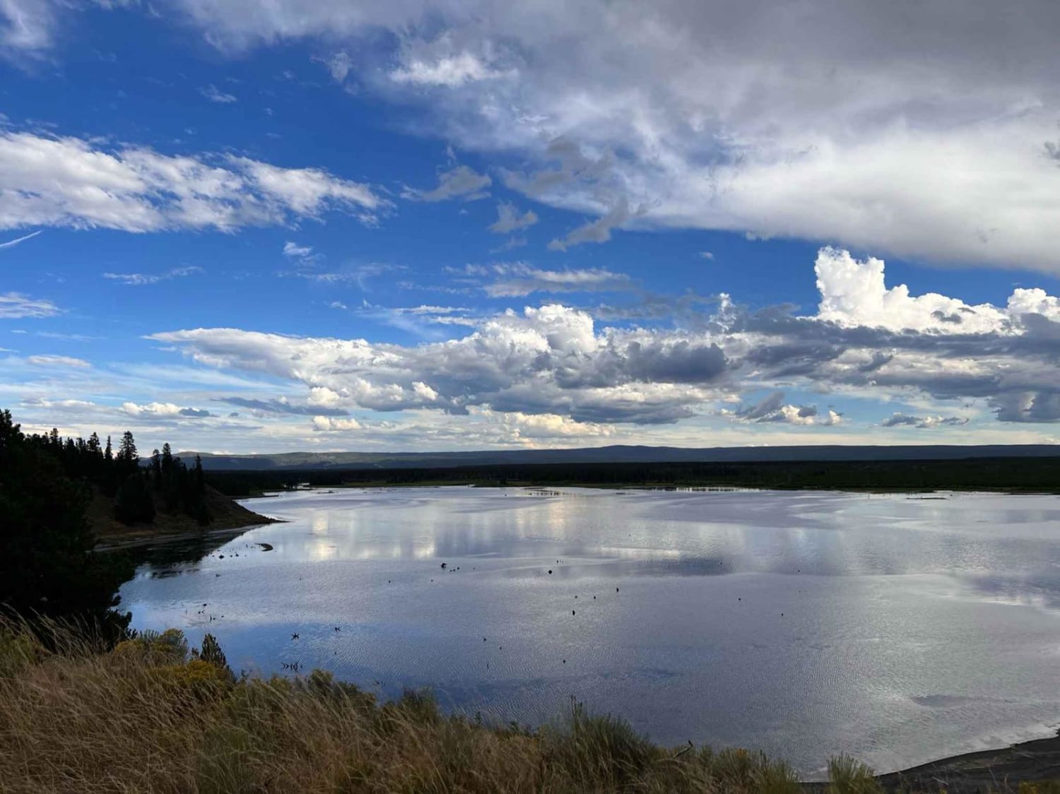
Photos of Thompson Peak Lookout Tower
Difficulty
This is a very easy route to maneuver.
Status Reports
Thompson Peak Lookout Tower can be accessed by the following ride types:
- High-Clearance 4x4
- SUV
- SxS (60")
- ATV (50")
- Dirt Bike
Thompson Peak Lookout Tower Map
Popular Trails
Erosion Excursion
Whisky Bay Day Use 1
Trail #185 (Part 2)
The onX Offroad Difference
onX Offroad combines trail photos, descriptions, difficulty ratings, width restrictions, seasonality, and more in a user-friendly interface. Available on all devices, with offline access and full compatibility with CarPlay and Android Auto. Discover what you’re missing today!