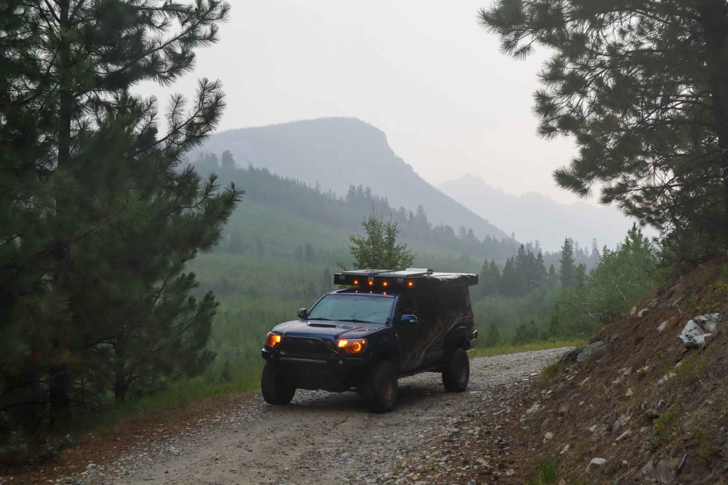
Off-Road Trails in Montana
Discover off-road trails in Montana
Learn more about Tupper Lake/River View Road
Tupper Lake/River View Road
Total Miles
2.5
Tech Rating
Easy
Best Time
Spring, Summer, Fall
Learn more about TV Tower/ Slate Creek Road
TV Tower/ Slate Creek Road
Total Miles
7.4
Tech Rating
Easy
Best Time
Spring, Summer
Learn more about Up Up Lookout Loop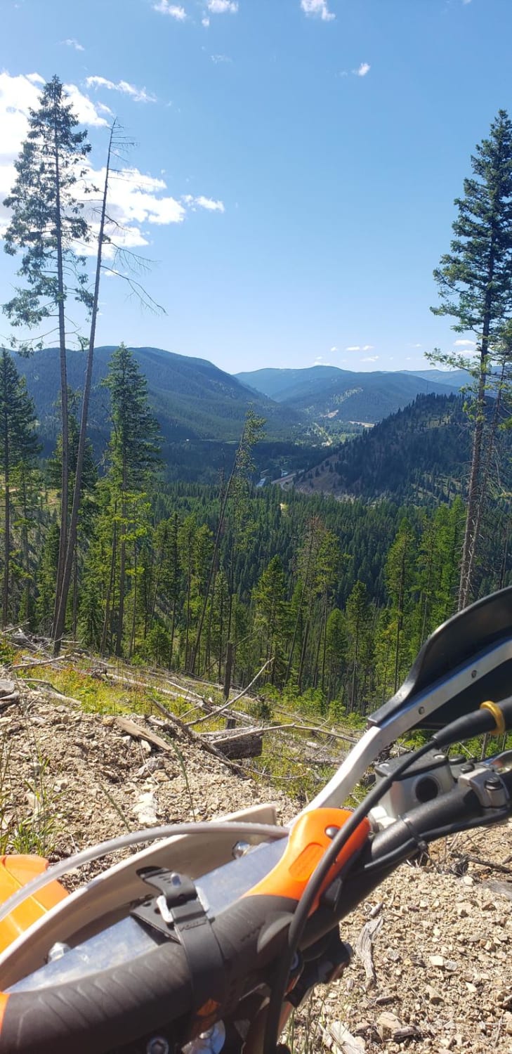
Up Up Lookout Loop
Total Miles
8.3
Tech Rating
Moderate
Best Time
Spring, Summer, Fall
Learn more about Upper Brackett Creek 
Upper Brackett Creek
Total Miles
3.5
Tech Rating
Easy
Best Time
Summer, Fall
Learn more about Upper Cave Gulch Road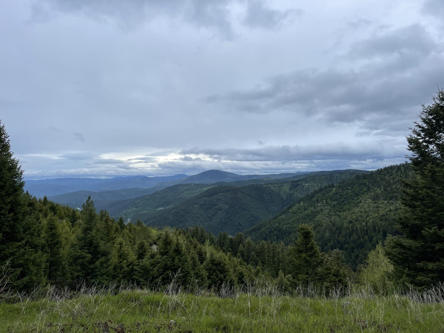
Upper Cave Gulch Road
Total Miles
2.2
Tech Rating
Easy
Best Time
Fall, Spring, Summer
Learn more about Upper Idaho Gulch
Upper Idaho Gulch
Total Miles
6.0
Tech Rating
Easy
Best Time
Spring, Summer, Fall
Learn more about Upper Lion Creek - NF9769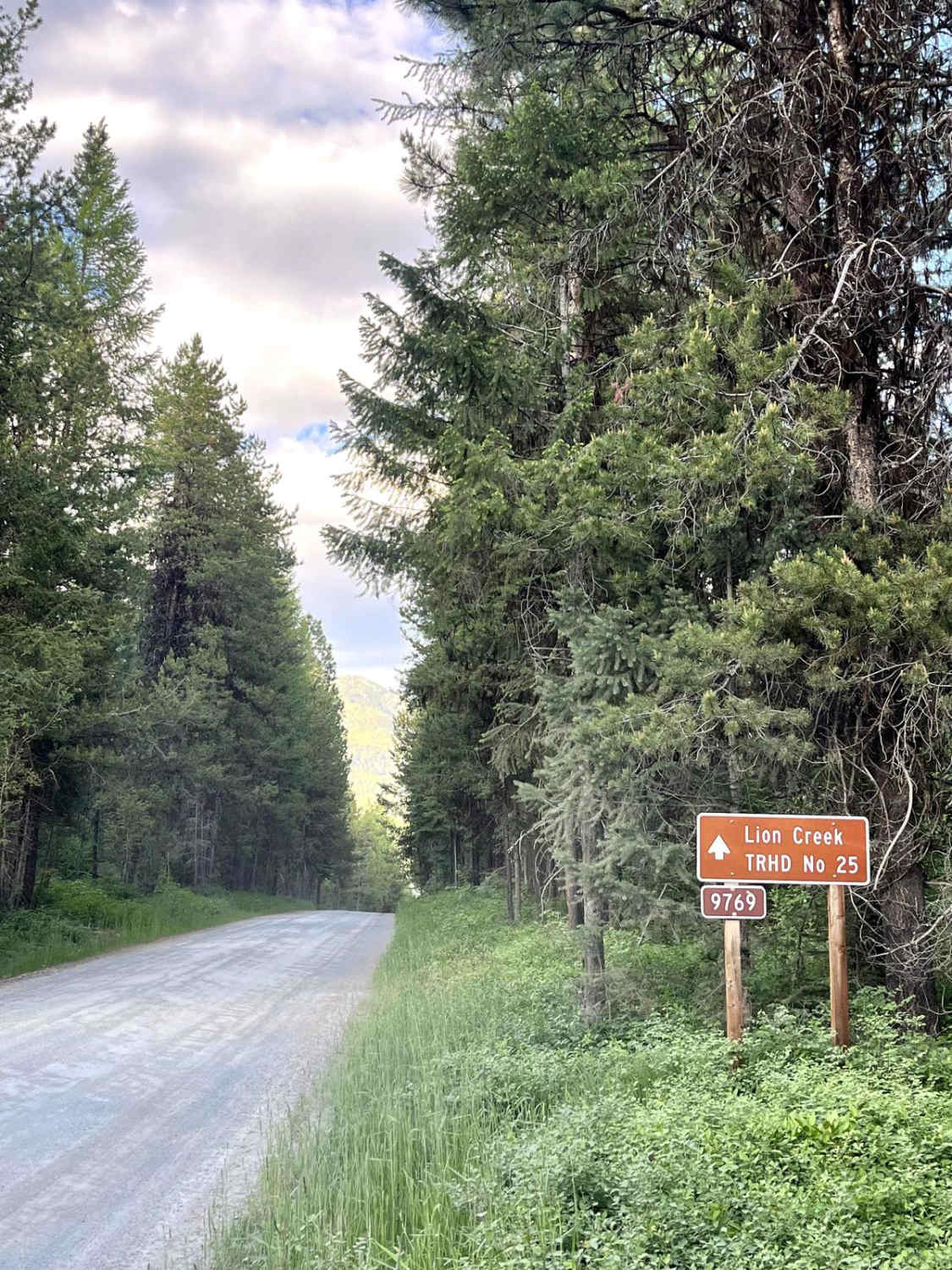
Upper Lion Creek - NF9769
Total Miles
2.1
Tech Rating
Easy
Best Time
Spring, Summer, Fall
Learn more about Upper Pierce Creek
Upper Pierce Creek
Total Miles
7.3
Tech Rating
Easy
Best Time
Summer, Fall
Learn more about Upper Six Mile 5598 / Main Six West 4223
Upper Six Mile 5598 / Main Six West 4223
Total Miles
7.6
Tech Rating
Easy
Best Time
Spring, Summer, Fall
Learn more about Upper Skyline to Cinnabar Saddle
Upper Skyline to Cinnabar Saddle
Total Miles
5.5
Tech Rating
Easy
Best Time
Fall, Summer, Spring
Learn more about Upper Spoon Creek
Upper Spoon Creek
Total Miles
3.3
Tech Rating
Easy
Best Time
Summer, Fall
Learn more about Upper Trail Creek
Upper Trail Creek
Total Miles
3.4
Tech Rating
Easy
Best Time
Spring, Summer, Fall
Learn more about Upper Willow Saint Clair
Upper Willow Saint Clair
Total Miles
12.4
Tech Rating
Easy
Best Time
Spring, Summer, Fall
Learn more about Verde Creek Road-Sunrise Road-Quartz Road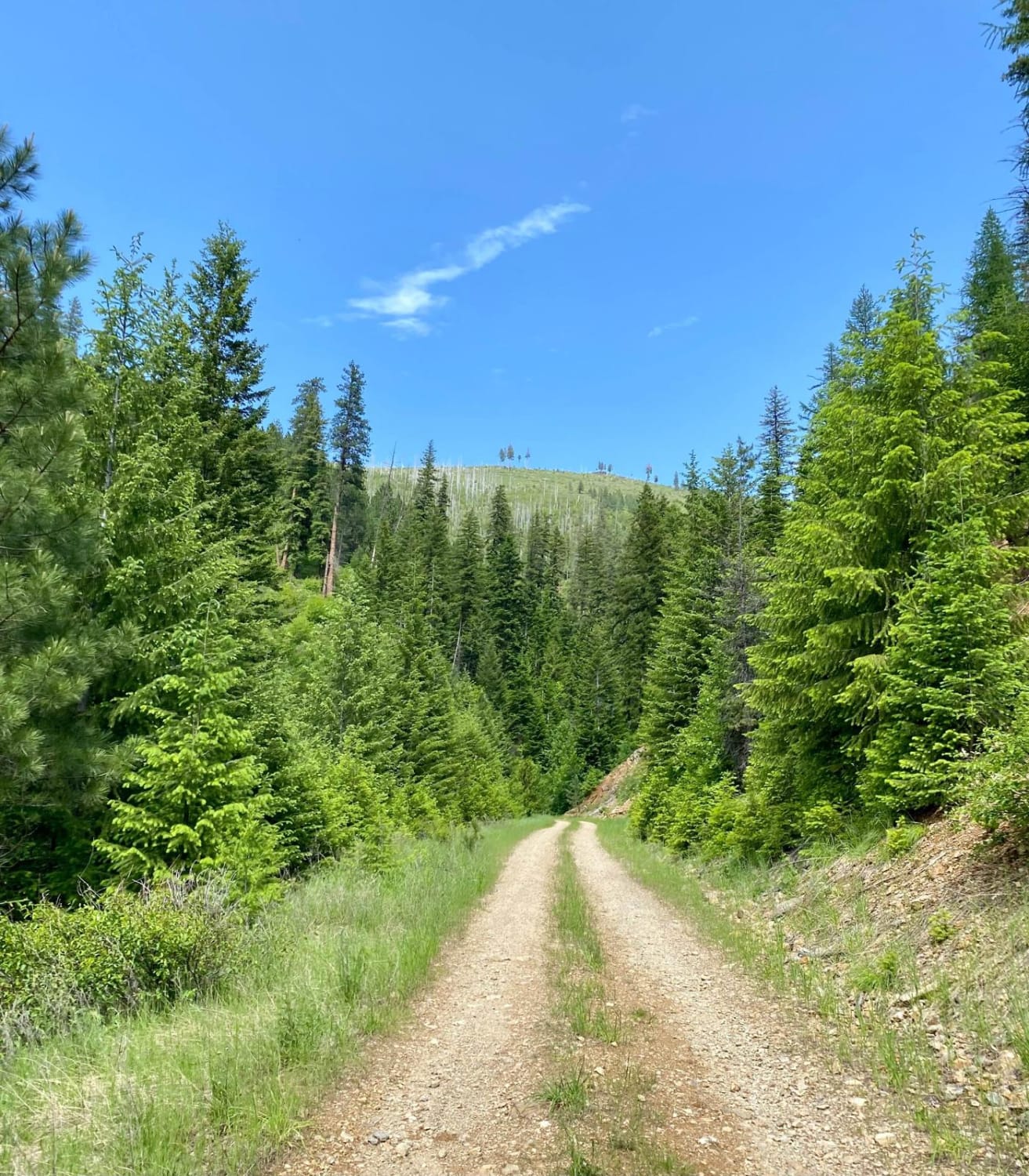
Verde Creek Road-Sunrise Road-Quartz Road
Total Miles
18.9
Tech Rating
Easy
Best Time
Spring, Summer, Fall
Learn more about Verde-Windfall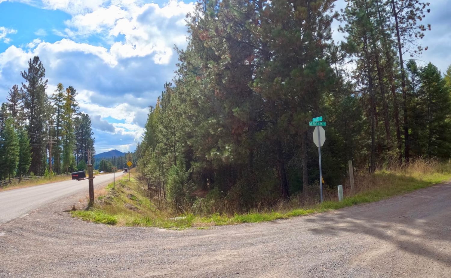
Verde-Windfall
Total Miles
9.3
Tech Rating
Easy
Best Time
Spring, Summer, Fall
Learn more about Verdy Moccasin Ridge
Verdy Moccasin Ridge
Total Miles
11.0
Tech Rating
Easy
Best Time
Fall, Summer, Spring
ATV trails in Montana
Learn more about $50,000 Silver Dollar Inn - FSR 288
$50,000 Silver Dollar Inn - FSR 288
Total Miles
7.5
Tech Rating
Easy
Best Time
Spring, Summer, Fall
Learn more about 2103 West Fork Gold Creek
2103 West Fork Gold Creek
Total Miles
5.7
Tech Rating
Easy
Best Time
Spring, Summer, Fall, Winter
Learn more about 4W-7736 - Big Flat Trail
4W-7736 - Big Flat Trail
Total Miles
3.6
Tech Rating
Easy
Best Time
Spring, Summer, Fall
Learn more about 4W-7829 - Mink Peak Jeep Trail
4W-7829 - Mink Peak Jeep Trail
Total Miles
4.4
Tech Rating
Easy
Best Time
Spring, Summer, Fall
UTV/side-by-side trails in Montana
Learn more about $50,000 Silver Dollar Inn - FSR 288
$50,000 Silver Dollar Inn - FSR 288
Total Miles
7.5
Tech Rating
Easy
Best Time
Spring, Summer, Fall
Learn more about 2103 West Fork Gold Creek
2103 West Fork Gold Creek
Total Miles
5.7
Tech Rating
Easy
Best Time
Spring, Summer, Fall, Winter
Learn more about 4W-7736 - Big Flat Trail
4W-7736 - Big Flat Trail
Total Miles
3.6
Tech Rating
Easy
Best Time
Spring, Summer, Fall
Learn more about 4W-7829 - Mink Peak Jeep Trail
4W-7829 - Mink Peak Jeep Trail
Total Miles
4.4
Tech Rating
Easy
Best Time
Spring, Summer, Fall
The onX Offroad Difference
onX Offroad combines trail photos, descriptions, difficulty ratings, width restrictions, seasonality, and more in a user-friendly interface. Available on all devices, with offline access and full compatibility with CarPlay and Android Auto. Discover what you’re missing today!