Truman Gulch
Total Miles
3.3
Technical Rating
Best Time
Summer, Fall
Trail Type
Single Track
Accessible By
Trail Overview
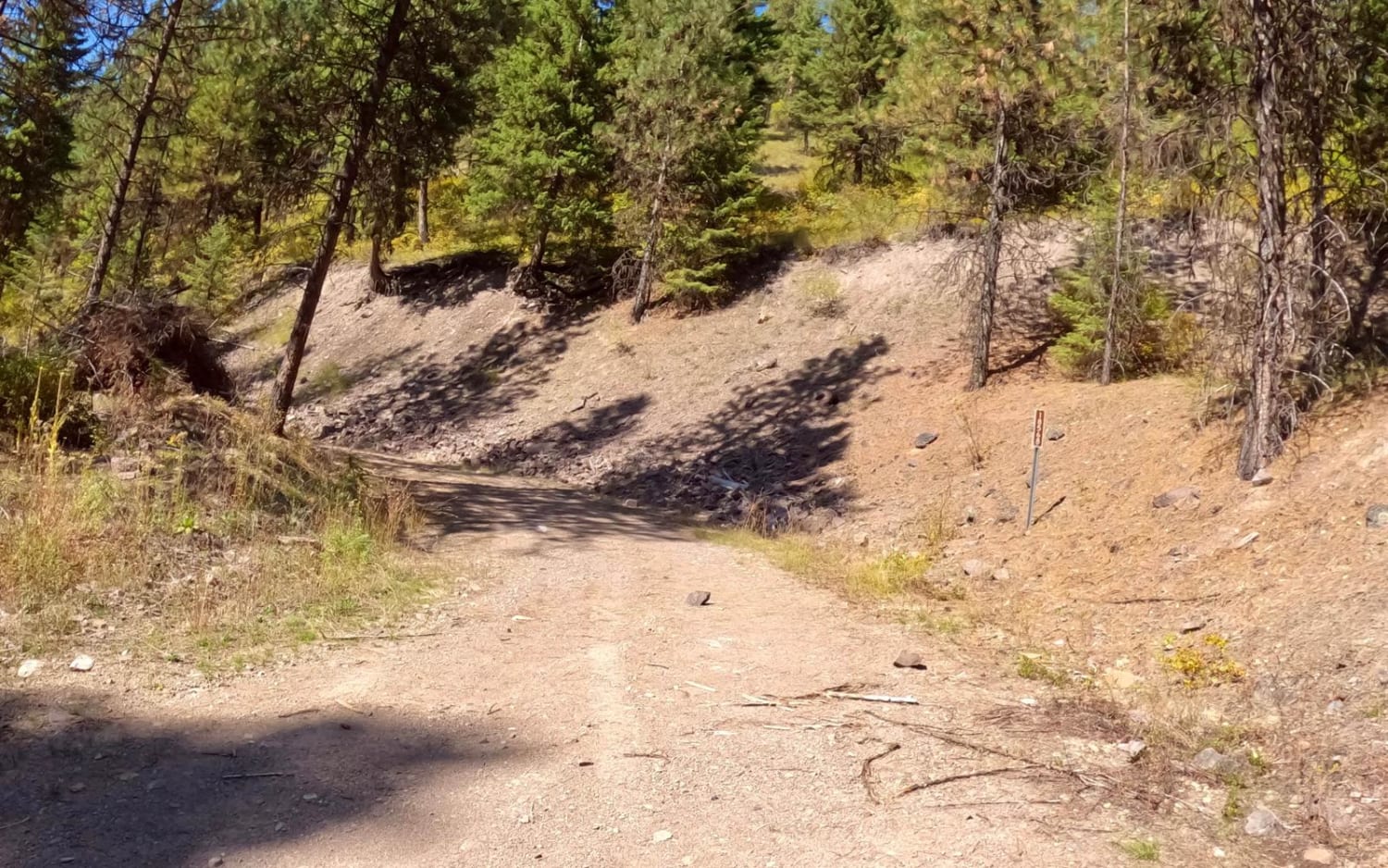
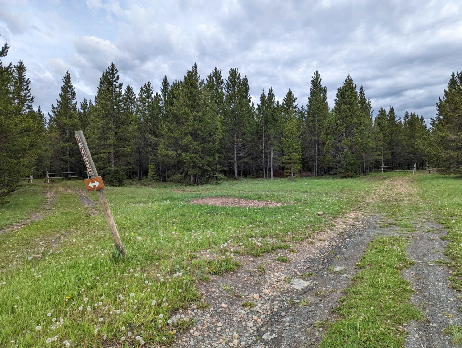
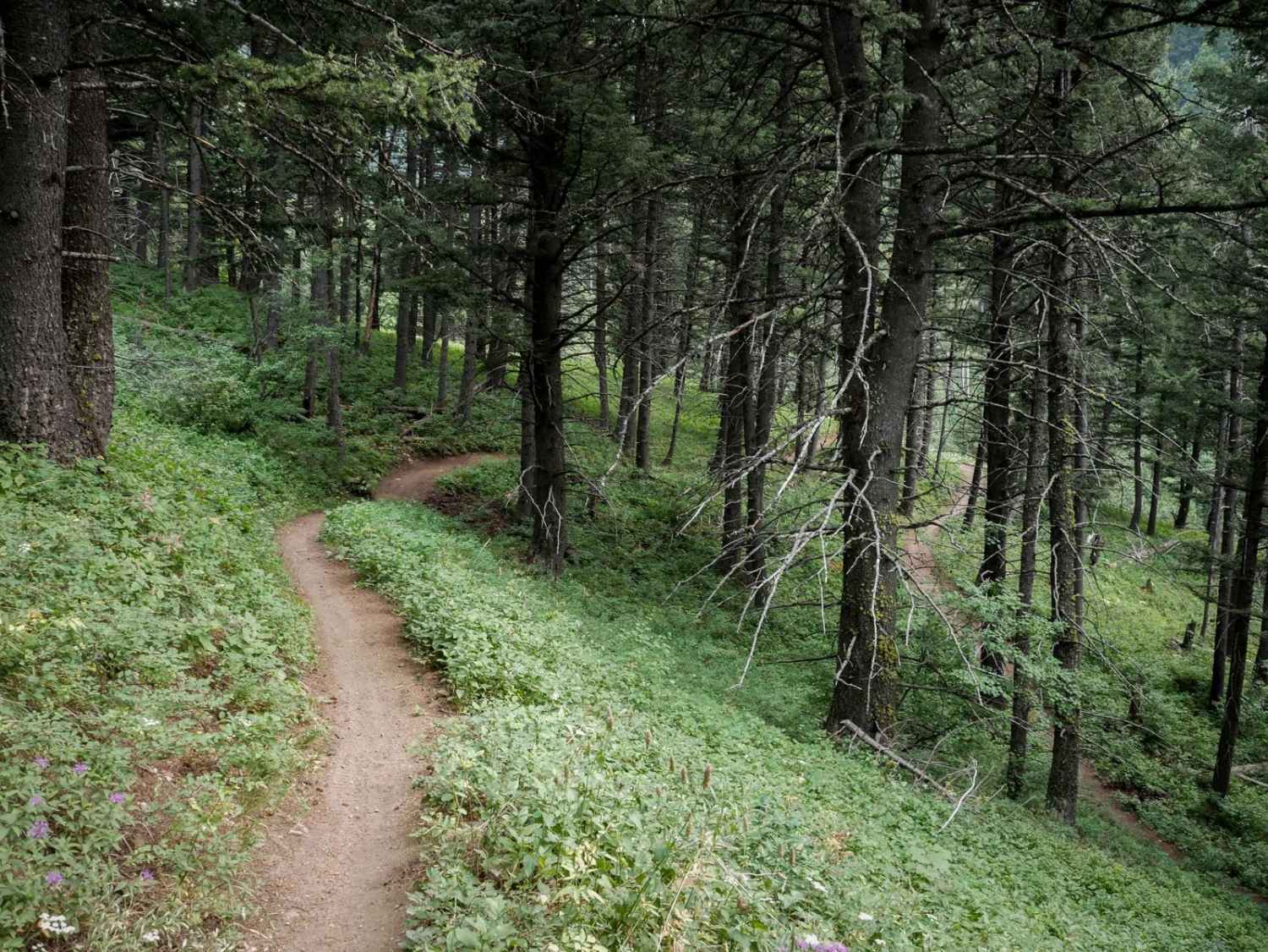
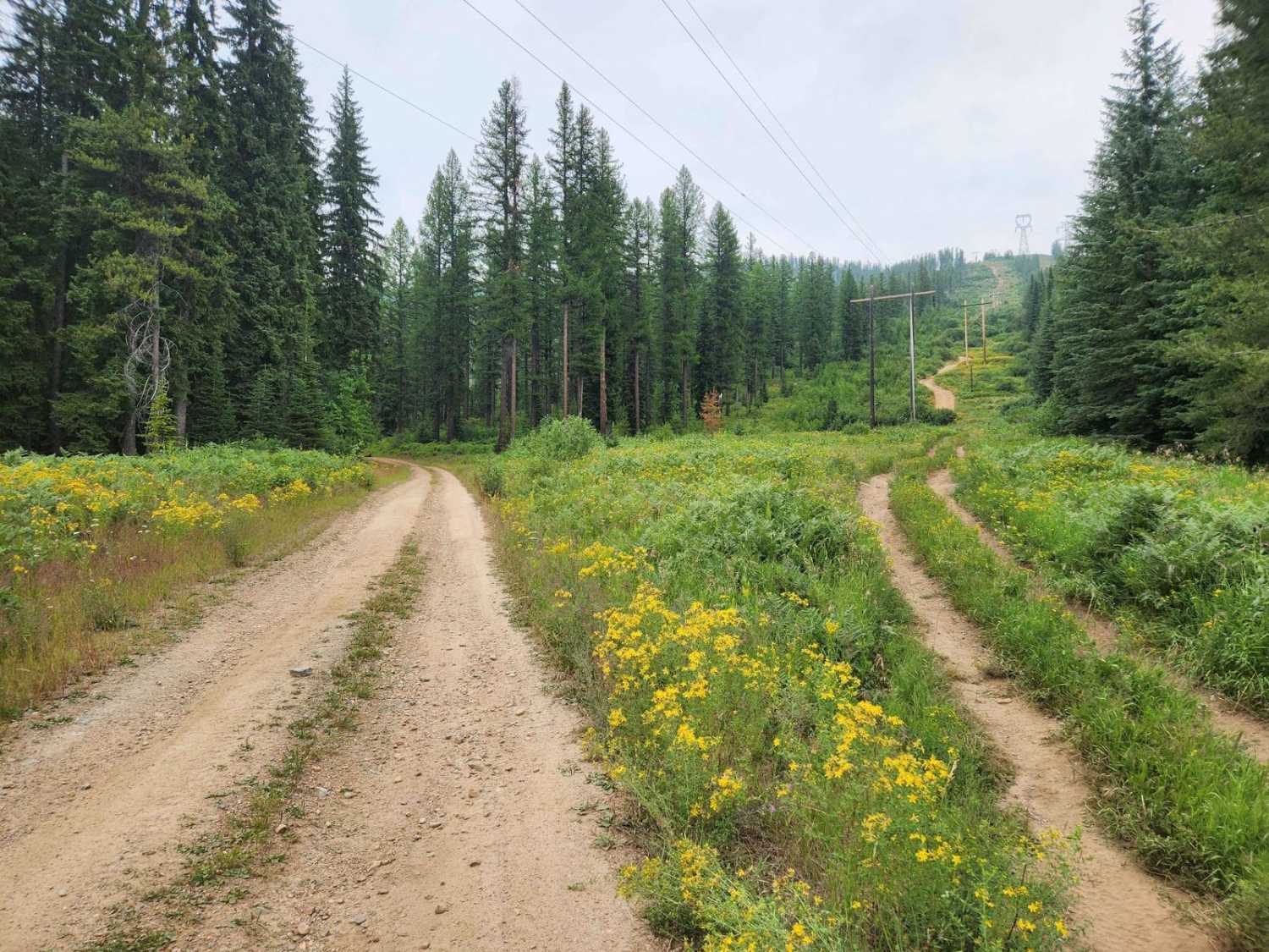
Truman Gulch is an easy spur trail off of the Bridger Foothills trail that descends 1,400 feet down to the Truman Gulch Trailhead. It looks like there has been a lot of trail maintenance on this to clear it of rocks, bench out any ruts, and make it overall very smooth and flowy, as it is also a popular hiking trail. There are several tight switchbacks and sections of side hilling, but they aren't difficult because they are so smooth and flowy, with no rocks. The only harder feature is a couple of small ledges up larger roots, which are less than a foot high, and there is an easy way around it. It keeps gradually descending towards the west trailhead, becoming even easier as it descends, just lightly snaking through spruce trees until it ends at a small dirt parking lot.
Photos of Truman Gulch
Difficulty
This is an easier single track with gradual grades, some easy and smooth switchbacks, a bit of mild exposure, and a 1-foot root ledge, but it is overall pretty easy.
Status Reports
Truman Gulch can be accessed by the following ride types:
- Dirt Bike
Truman Gulch Map
Popular Trails

Deep Creek Road Spur Loop

Old Milwaukee Grade- FS 300-1

Lower Russian Youth Loop
The onX Offroad Difference
onX Offroad combines trail photos, descriptions, difficulty ratings, width restrictions, seasonality, and more in a user-friendly interface. Available on all devices, with offline access and full compatibility with CarPlay and Android Auto. Discover what you’re missing today!


