Upper Idaho Gulch
Total Miles
6.0
Technical Rating
Best Time
Spring, Summer, Fall
Trail Type
Full-Width Road
Accessible By
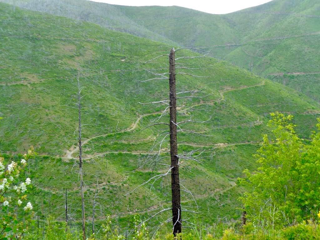
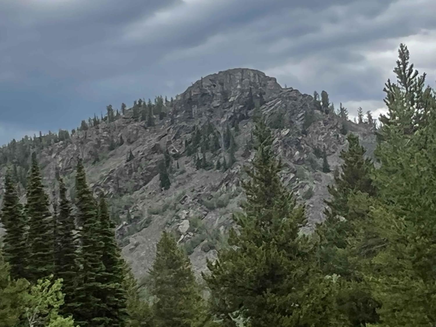
Trail Overview
The trail begins at a gate just past Johnson Creek FS 540. The trail is mainly one lane throughout its length, with very steep embankments and loose, sharp rock in places. There are areas to get past another vehicle if encountered. The route is mainly dense forest with beautiful views of the Nine Mile Divide and Johnson Creek Drainage. The Saint Joe Forest area can be seen in the distance, with snow still showing in the higher peaks. The route will be dusty throughout a dry spell. Cell coverage is hit or miss, depending on where you are on the route. Once, over 6000' Bear Grass could be found everywhere, where with many other beautiful flora. You will get to a point on the route where it ends and you will need to turn around and head back to the beginning.
Photos of Upper Idaho Gulch


Difficulty
The route is narrow and only one lane in spots, with some very steep embankments. Loose sharp rock could be encountered in areas of steep banking close to the route. The route is very passable for most types of vehicles.
History
Some of the area has seen logging in past years. The gate to the trail start has been closed for several years and finally opened agin.
Upper Idaho Gulch can be accessed by the following ride types:
- High-Clearance 4x4
- SUV
- SxS (60")
- ATV (50")
- Dirt Bike
Upper Idaho Gulch Map
Popular Trails


Emery Road-Champion Pass
South Fork Nemote Creek - Sheridan Ridge Loop
Antelope Basin (FS 230)
The onX Offroad Difference
onX Offroad combines trail photos, descriptions, difficulty ratings, width restrictions, seasonality, and more in a user-friendly interface. Available on all devices, with offline access and full compatibility with CarPlay and Android Auto. Discover what you’re missing today!