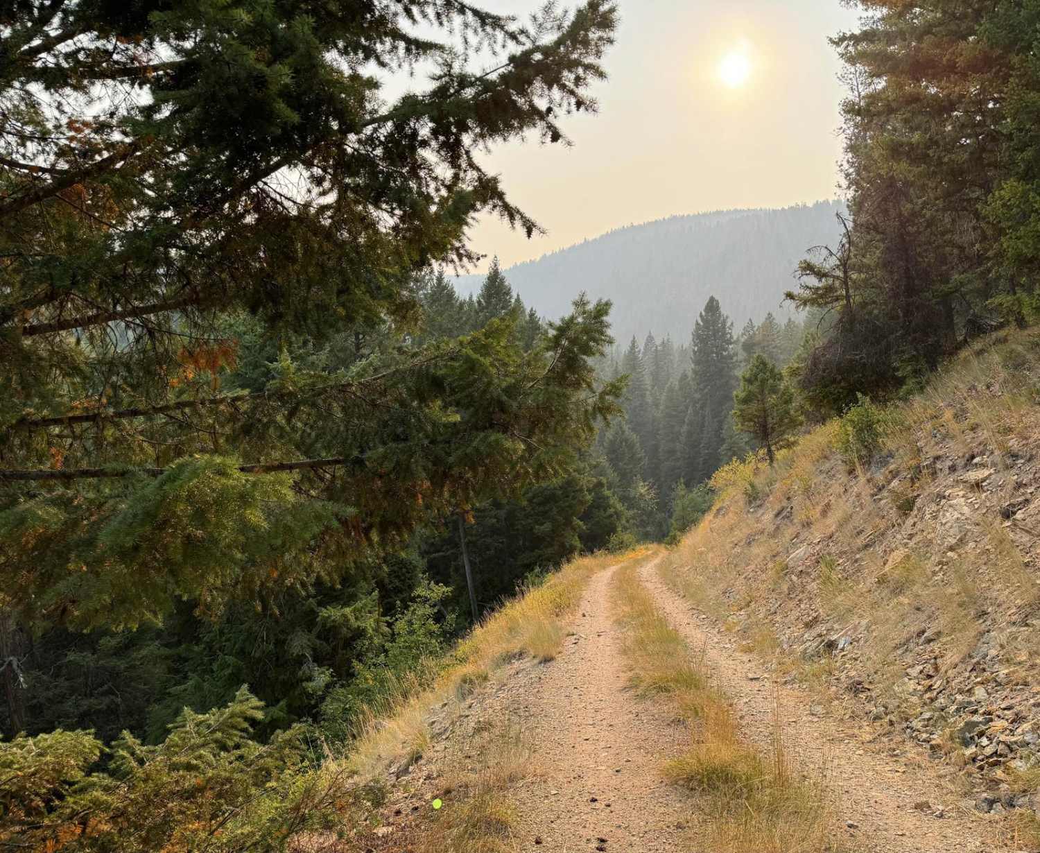
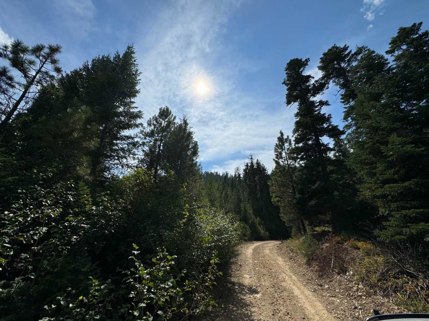
Off-Road Trails in Montana
Discover off-road trails in Montana
Learn more about Tin Cup Creek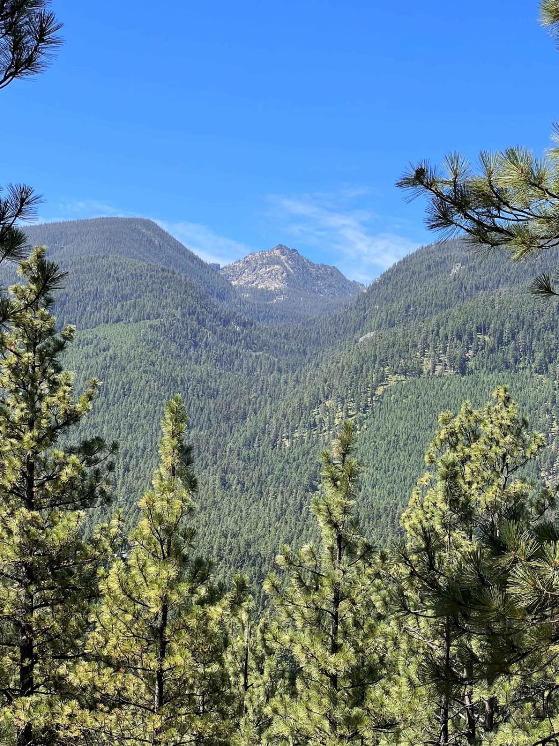
Tin Cup Creek
Total Miles
2.1
Tech Rating
Easy
Best Time
Fall, Summer, Spring
Learn more about Tin Cup Dispersed 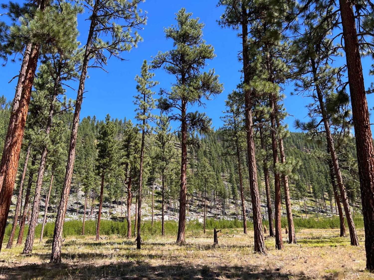
Tin Cup Dispersed
Total Miles
0.9
Tech Rating
Easy
Best Time
Fall, Summer, Spring
Learn more about Tobacco Gold Pass
Tobacco Gold Pass
Total Miles
2.1
Tech Rating
Easy
Best Time
Summer, Fall
Learn more about Tobacco Hills Sand Dunes
Tobacco Hills Sand Dunes
Total Miles
2.1
Tech Rating
Moderate
Best Time
Spring
Learn more about Townsend To Winston 
Townsend To Winston
Total Miles
68.4
Tech Rating
Easy
Best Time
Spring, Summer, Fall
Learn more about Trail #185 (Part 1)
Trail #185 (Part 1)
Total Miles
1.5
Tech Rating
Easy
Best Time
Fall, Summer
Learn more about Trail #185 (Part 2)
Trail #185 (Part 2)
Total Miles
9.3
Tech Rating
Moderate
Best Time
Summer, Fall
Learn more about Trail Creek to Graves Creek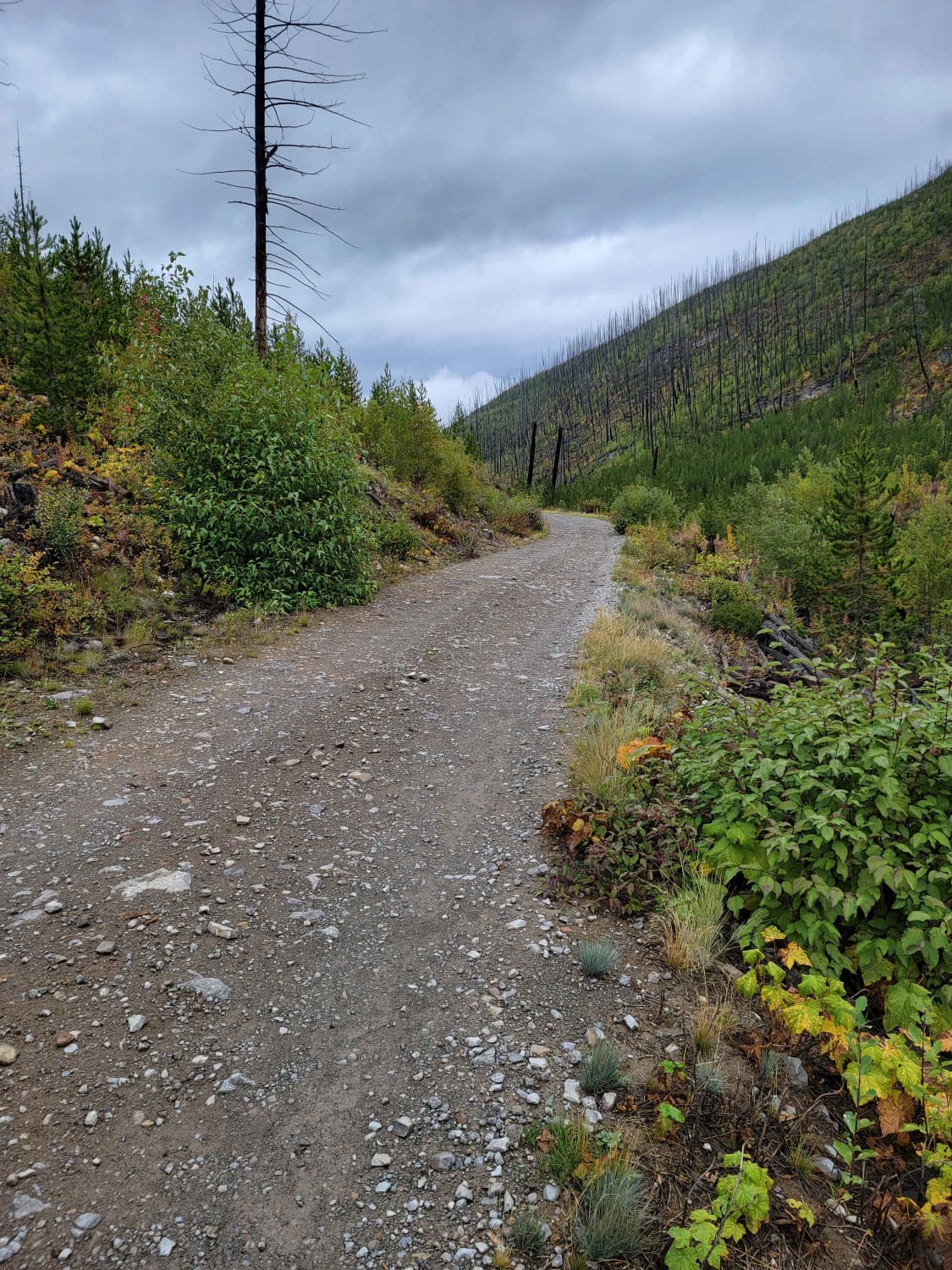
Trail Creek to Graves Creek
Total Miles
31.0
Tech Rating
Easy
Best Time
Spring, Summer, Fall
Learn more about Trail Less Traveled 
Trail Less Traveled
Total Miles
0.9
Tech Rating
Easy
Best Time
Spring, Summer, Fall
Learn more about Trapper Creek Trailhead
Trapper Creek Trailhead
Total Miles
3.1
Tech Rating
Easy
Best Time
Fall, Summer, Spring

Learn more about Trapper Trailhead Side Trail
Trapper Trailhead Side Trail
Total Miles
0.8
Tech Rating
Easy
Best Time
Fall, Summer, Spring
Learn more about Trapper-Chaffin
Trapper-Chaffin
Total Miles
6.5
Tech Rating
Easy
Best Time
Spring, Summer, Fall
Learn more about Treasure Mountain
Treasure Mountain
Total Miles
2.5
Tech Rating
Easy
Best Time
Spring, Summer, Fall
Learn more about Truman Creek Road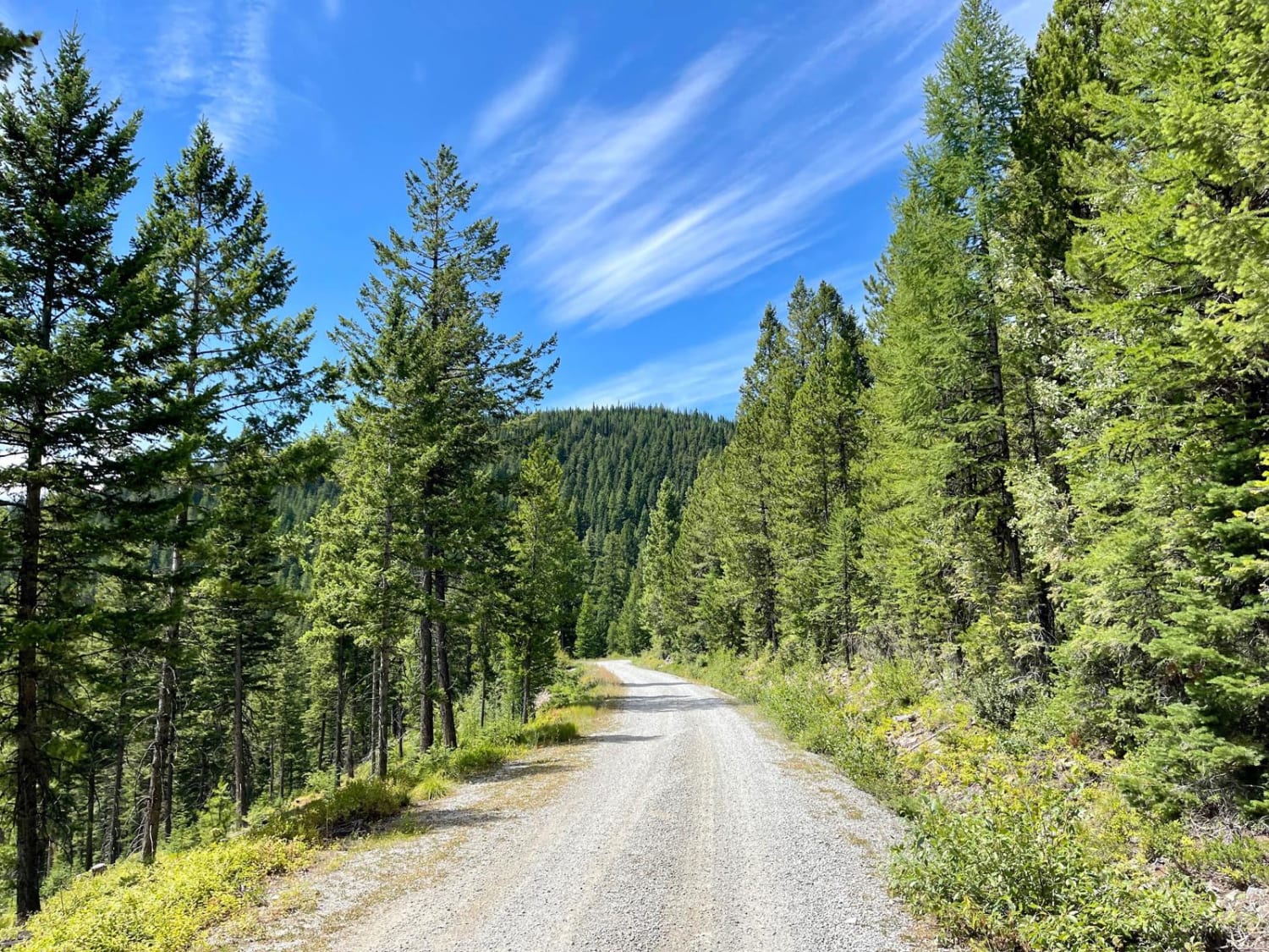
Truman Creek Road
Total Miles
8.4
Tech Rating
Easy
Best Time
Spring, Summer
ATV trails in Montana
Learn more about $50,000 Silver Dollar Inn - FSR 288
$50,000 Silver Dollar Inn - FSR 288
Total Miles
7.5
Tech Rating
Easy
Best Time
Spring, Summer, Fall
Learn more about 2103 West Fork Gold Creek
2103 West Fork Gold Creek
Total Miles
5.7
Tech Rating
Easy
Best Time
Spring, Summer, Fall, Winter
Learn more about 4W-7736 - Big Flat Trail
4W-7736 - Big Flat Trail
Total Miles
3.6
Tech Rating
Easy
Best Time
Spring, Summer, Fall
Learn more about 4W-7829 - Mink Peak Jeep Trail
4W-7829 - Mink Peak Jeep Trail
Total Miles
4.4
Tech Rating
Easy
Best Time
Spring, Summer, Fall
UTV/side-by-side trails in Montana
Learn more about $50,000 Silver Dollar Inn - FSR 288
$50,000 Silver Dollar Inn - FSR 288
Total Miles
7.5
Tech Rating
Easy
Best Time
Spring, Summer, Fall
Learn more about 2103 West Fork Gold Creek
2103 West Fork Gold Creek
Total Miles
5.7
Tech Rating
Easy
Best Time
Spring, Summer, Fall, Winter
Learn more about 4W-7736 - Big Flat Trail
4W-7736 - Big Flat Trail
Total Miles
3.6
Tech Rating
Easy
Best Time
Spring, Summer, Fall
Learn more about 4W-7829 - Mink Peak Jeep Trail
4W-7829 - Mink Peak Jeep Trail
Total Miles
4.4
Tech Rating
Easy
Best Time
Spring, Summer, Fall
The onX Offroad Difference
onX Offroad combines trail photos, descriptions, difficulty ratings, width restrictions, seasonality, and more in a user-friendly interface. Available on all devices, with offline access and full compatibility with CarPlay and Android Auto. Discover what you’re missing today!