Truman Creek Road
Total Miles
8.4
Technical Rating
Best Time
Spring, Summer
Trail Type
Full-Width Road
Accessible By
Trail Overview
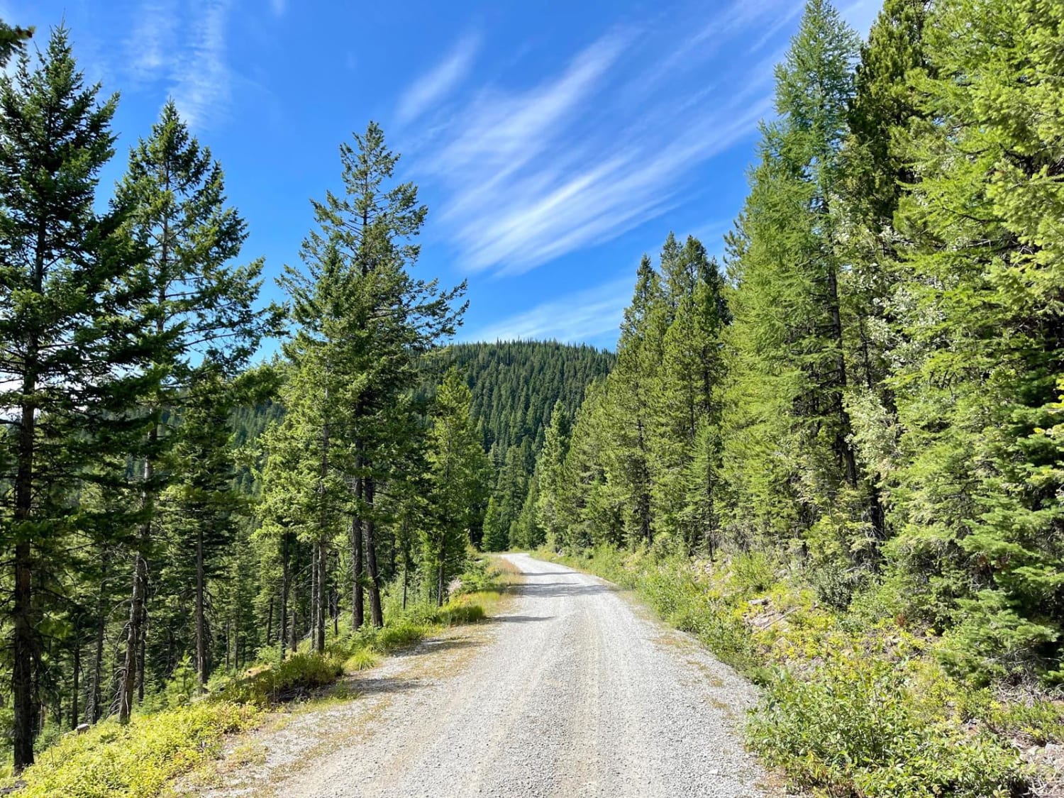
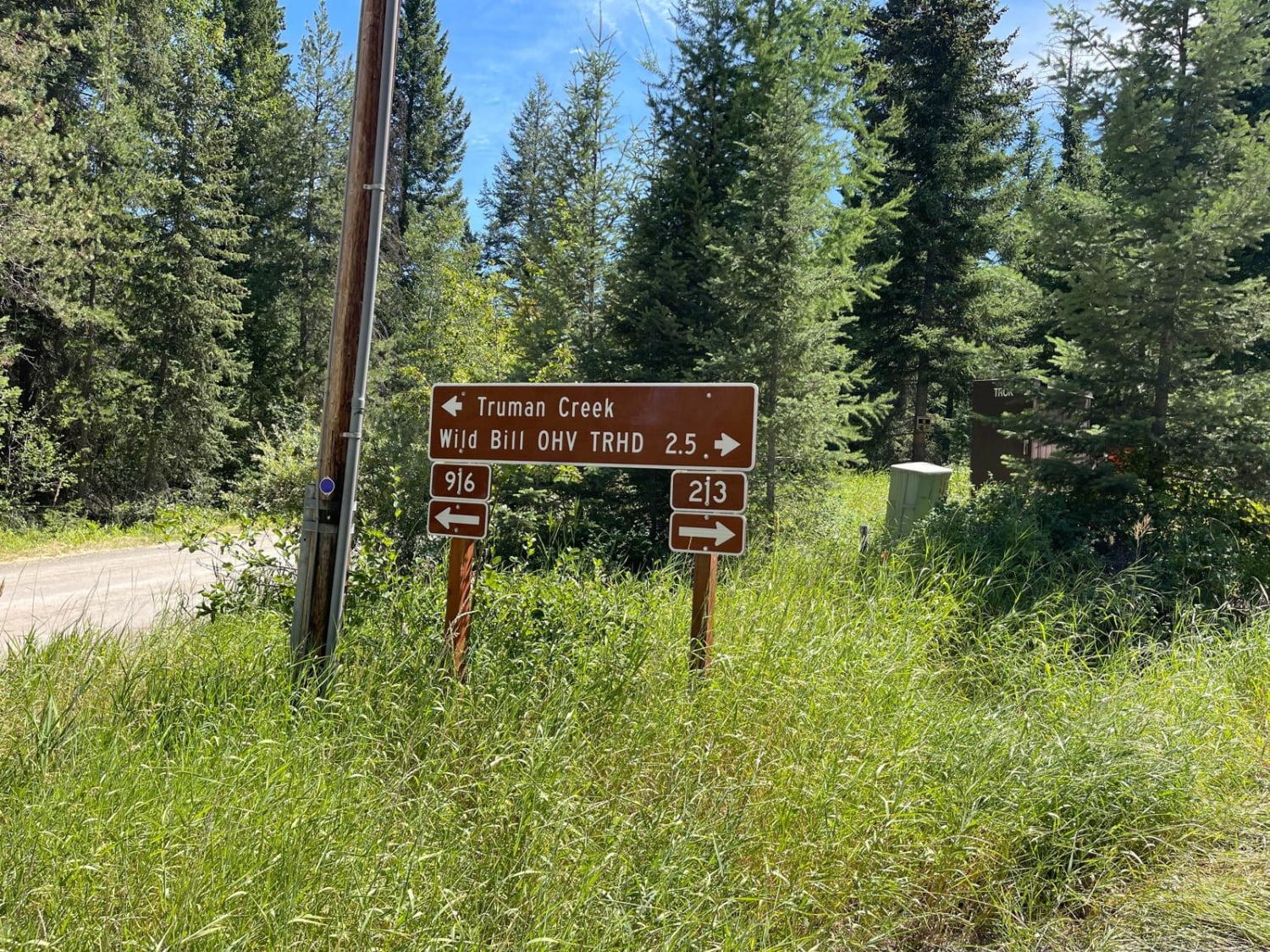
This well-graded access route heads up into the hills and begins in the residential land below. The route is wide and bumpy, with washboard and loose gravel sections. The posted speed is 20 while in the residential area to decrease dust in the dry months. Please be respectful of the residents, to help keep access to these trails open. As you head higher into the hills, the trail narrows. It has some pullouts for oncoming traffic. No real camping options are obvious along the way. There are nice views of the surrounding mountains that peek through the dense trees. The road surface is rocky gravel with quite a few erosion-filled hills. Be sure to keep your eyes peeled for fast-moving OHVs around the many blind corners. This is a great way to get around the backside of the Wild Bill OHV network of trails. There is no cell service at the beginning of the trail but a bar of T-Mobile and Verizon near the top. This is not the famous Wild Bill Truman Creek Trail.
Photos of Truman Creek Road
Difficulty
This is a narrow trail with steep drop-offs in some areas. There are limited pullouts higher up past the residential area. There is no winter maintenance up here.
History
The Blacktail Wild Bill OHV trail was designated a National OHV trail in 1979. Over the years, two local clubs (Skyliners and Big Sky 4 Wheelers) have maintained the trail and built challenging features. The clubs have work weekends where they clean trash and do maintenance on the trail. In 2018 and 2019, Big Sky 4 Wheelers worked with the Forest Service to build and install kiosks on the trail to identify trail routes.
Status Reports
Truman Creek Road can be accessed by the following ride types:
- High-Clearance 4x4
- SUV
- SxS (60")
- ATV (50")
- Dirt Bike
Truman Creek Road Map
Popular Trails

Porcupine Saddle

Lincoln Gulch Road
The onX Offroad Difference
onX Offroad combines trail photos, descriptions, difficulty ratings, width restrictions, seasonality, and more in a user-friendly interface. Available on all devices, with offline access and full compatibility with CarPlay and Android Auto. Discover what you’re missing today!


