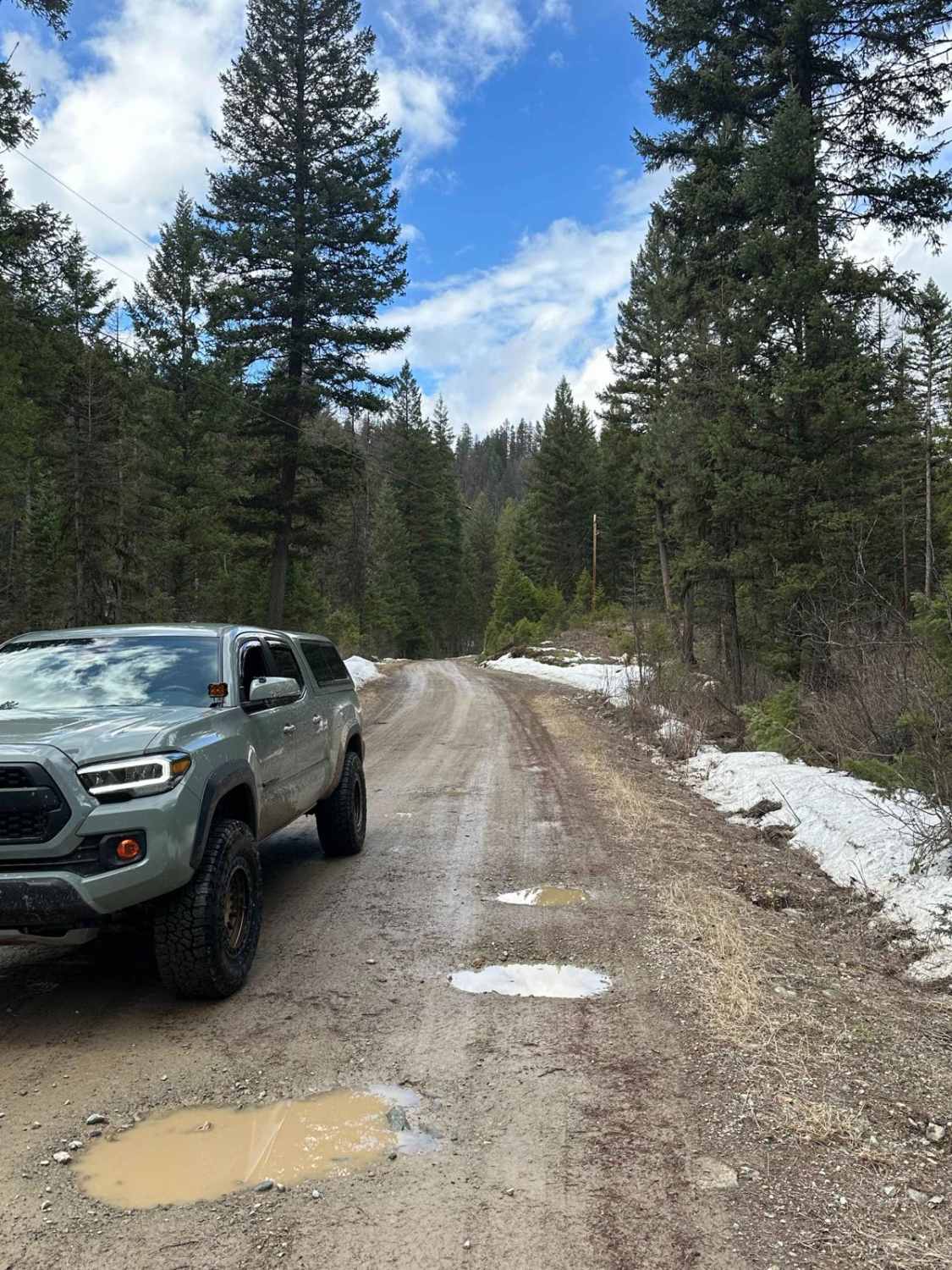
Off-Road Trails in Montana
Discover off-road trails in Montana
Learn more about South Meadow Creek Lake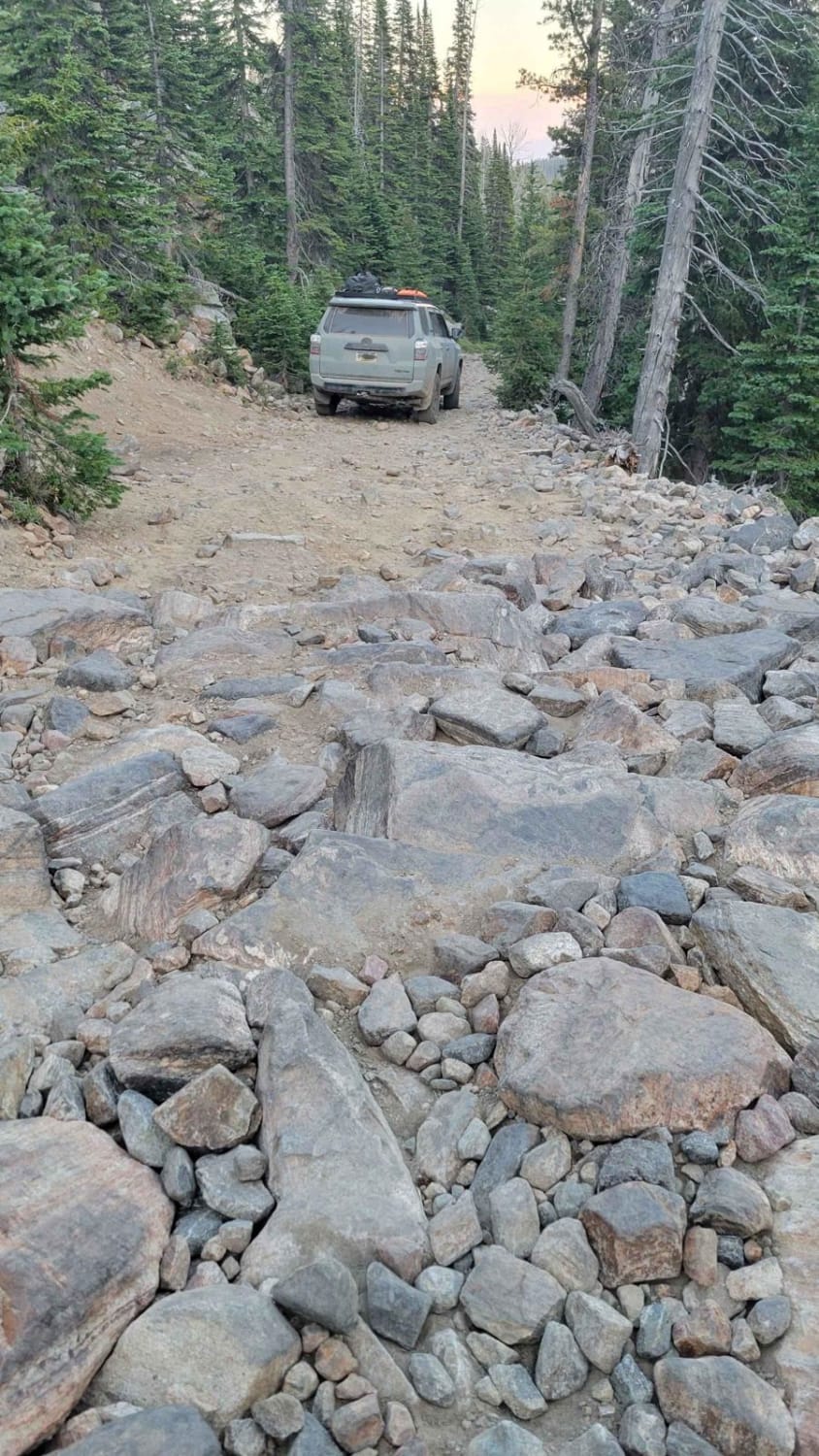
South Meadow Creek Lake
Total Miles
3.1
Tech Rating
Moderate
Best Time
Spring, Summer, Fall
Learn more about South Pryor Mountain Road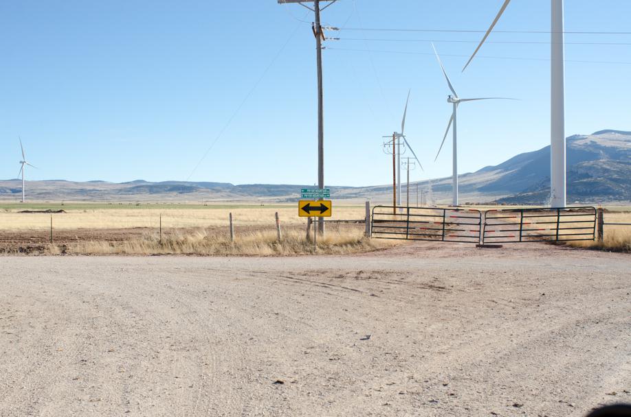
South Pryor Mountain Road
Total Miles
2.8
Tech Rating
Easy
Best Time
Spring, Summer, Fall, Winter
Learn more about South Railbed Road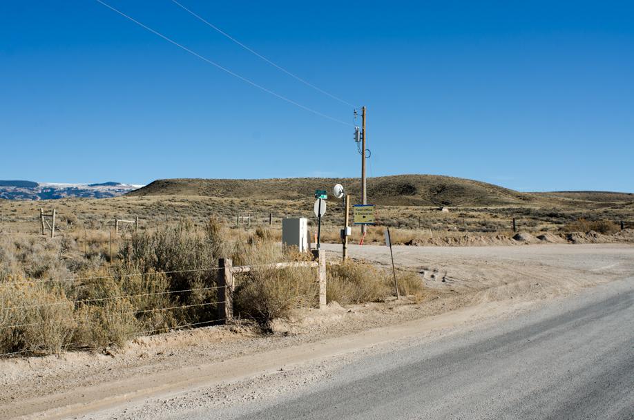
South Railbed Road
Total Miles
8.9
Tech Rating
Easy
Best Time
Spring, Summer, Fall, Winter
Learn more about South Side Owl - FS 9814
South Side Owl - FS 9814
Total Miles
3.0
Tech Rating
Easy
Best Time
Spring, Summer, Fall
Learn more about Southside Road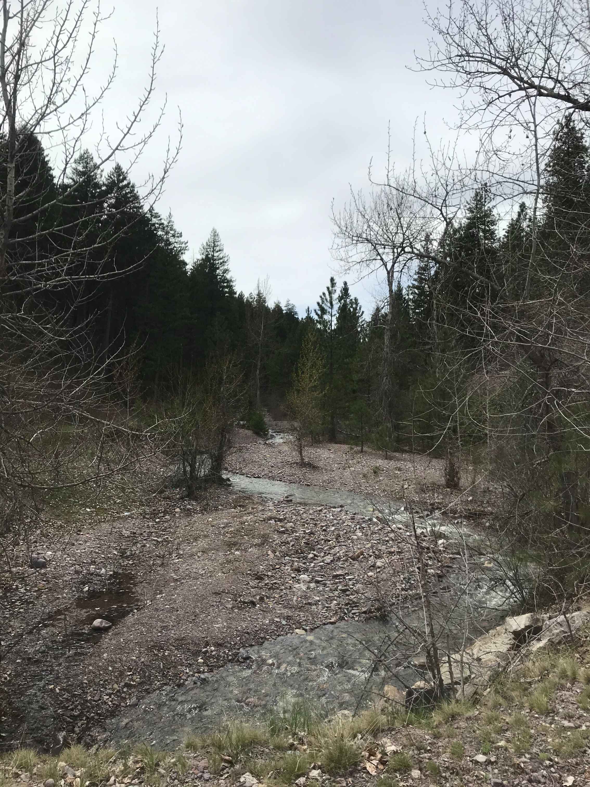
Southside Road
Total Miles
22.0
Tech Rating
Easy
Best Time
Summer, Fall, Spring

Learn more about Spire Flat Track 8635
Spire Flat Track 8635
Total Miles
3.7
Tech Rating
Easy
Best Time
Spring, Summer, Fall
Learn more about Spook Lake Trail (FS4337, FS16095, FS17541)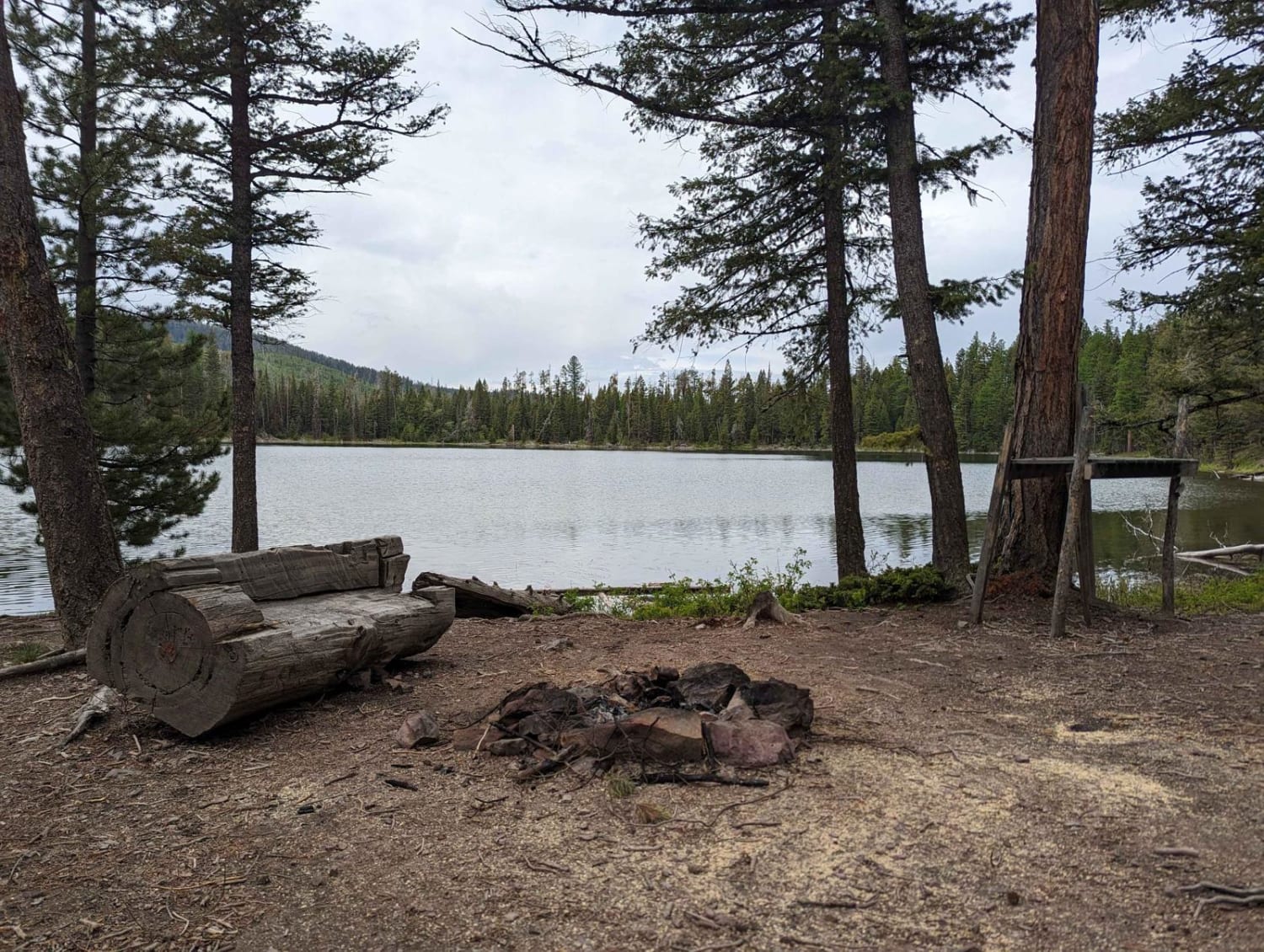
Spook Lake Trail (FS4337, FS16095, FS17541)
Total Miles
7.2
Tech Rating
Moderate
Best Time
Spring, Summer, Fall

Learn more about St. Mary's Peak Trail
St. Mary's Peak Trail
Total Miles
3.1
Tech Rating
Easy
Best Time
Summer, Fall, Spring
Learn more about St. Marys Lake/Twin Lake Road
St. Marys Lake/Twin Lake Road
Total Miles
11.4
Tech Rating
Easy
Best Time
Summer, Fall
Learn more about St. Peters Mission
St. Peters Mission
Total Miles
27.3
Tech Rating
Easy
Best Time
Spring, Summer, Fall
Learn more about St.Mary's Peak Trail
St.Mary's Peak Trail
Total Miles
3.2
Tech Rating
Easy
Best Time
Summer, Fall, Spring
Learn more about Stage Trail
Stage Trail
Total Miles
3.7
Tech Rating
Moderate
Best Time
Fall, Summer, Spring
Learn more about Standard Creek Rd w/Wolverine Basin
Standard Creek Rd w/Wolverine Basin
Total Miles
23.6
Tech Rating
Easy
Best Time
Summer, Fall
Learn more about Stanford View Spur - J746
Stanford View Spur - J746
Total Miles
6.1
Tech Rating
Moderate
Best Time
Summer, Fall
Learn more about Start of Olsen Creek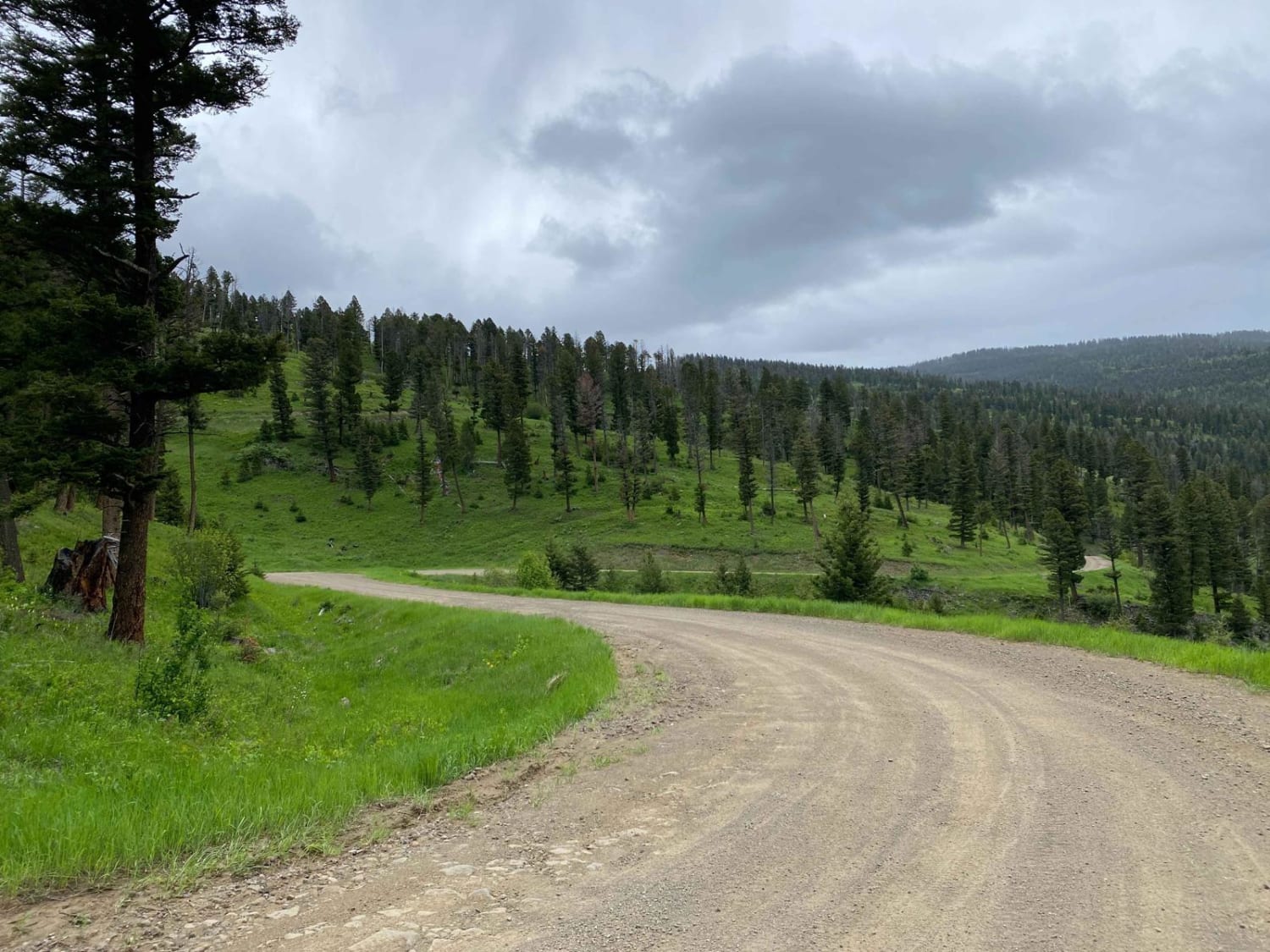
Start of Olsen Creek
Total Miles
2.1
Tech Rating
Easy
Best Time
Summer, Fall
ATV trails in Montana
Learn more about $50,000 Silver Dollar Inn - FSR 288
$50,000 Silver Dollar Inn - FSR 288
Total Miles
7.5
Tech Rating
Easy
Best Time
Spring, Summer, Fall
Learn more about 2103 West Fork Gold Creek
2103 West Fork Gold Creek
Total Miles
5.7
Tech Rating
Easy
Best Time
Spring, Summer, Fall, Winter
Learn more about 4W-7736 - Big Flat Trail
4W-7736 - Big Flat Trail
Total Miles
3.6
Tech Rating
Easy
Best Time
Spring, Summer, Fall
Learn more about 4W-7829 - Mink Peak Jeep Trail
4W-7829 - Mink Peak Jeep Trail
Total Miles
4.4
Tech Rating
Easy
Best Time
Spring, Summer, Fall
UTV/side-by-side trails in Montana
Learn more about $50,000 Silver Dollar Inn - FSR 288
$50,000 Silver Dollar Inn - FSR 288
Total Miles
7.5
Tech Rating
Easy
Best Time
Spring, Summer, Fall
Learn more about 2103 West Fork Gold Creek
2103 West Fork Gold Creek
Total Miles
5.7
Tech Rating
Easy
Best Time
Spring, Summer, Fall, Winter
Learn more about 4W-7736 - Big Flat Trail
4W-7736 - Big Flat Trail
Total Miles
3.6
Tech Rating
Easy
Best Time
Spring, Summer, Fall
Learn more about 4W-7829 - Mink Peak Jeep Trail
4W-7829 - Mink Peak Jeep Trail
Total Miles
4.4
Tech Rating
Easy
Best Time
Spring, Summer, Fall
The onX Offroad Difference
onX Offroad combines trail photos, descriptions, difficulty ratings, width restrictions, seasonality, and more in a user-friendly interface. Available on all devices, with offline access and full compatibility with CarPlay and Android Auto. Discover what you’re missing today!