Spoon Creek
Total Miles
9.0
Technical Rating
Best Time
Spring, Summer, Fall
Trail Type
Full-Width Road
Accessible By
Trail Overview
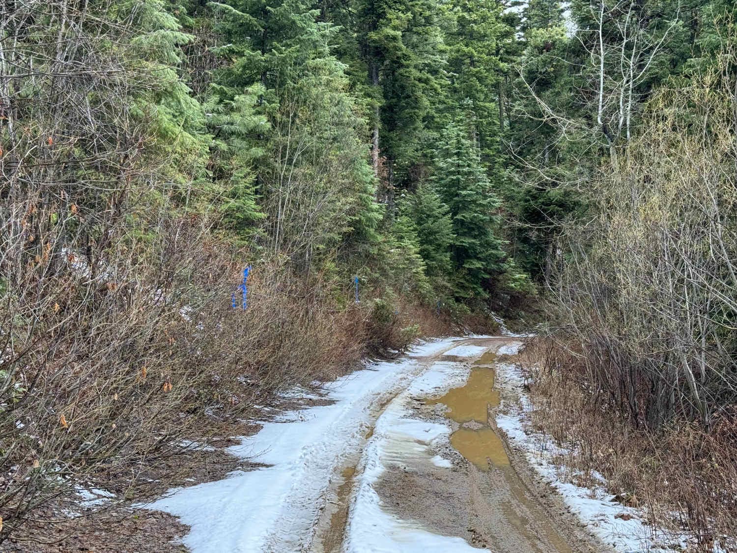
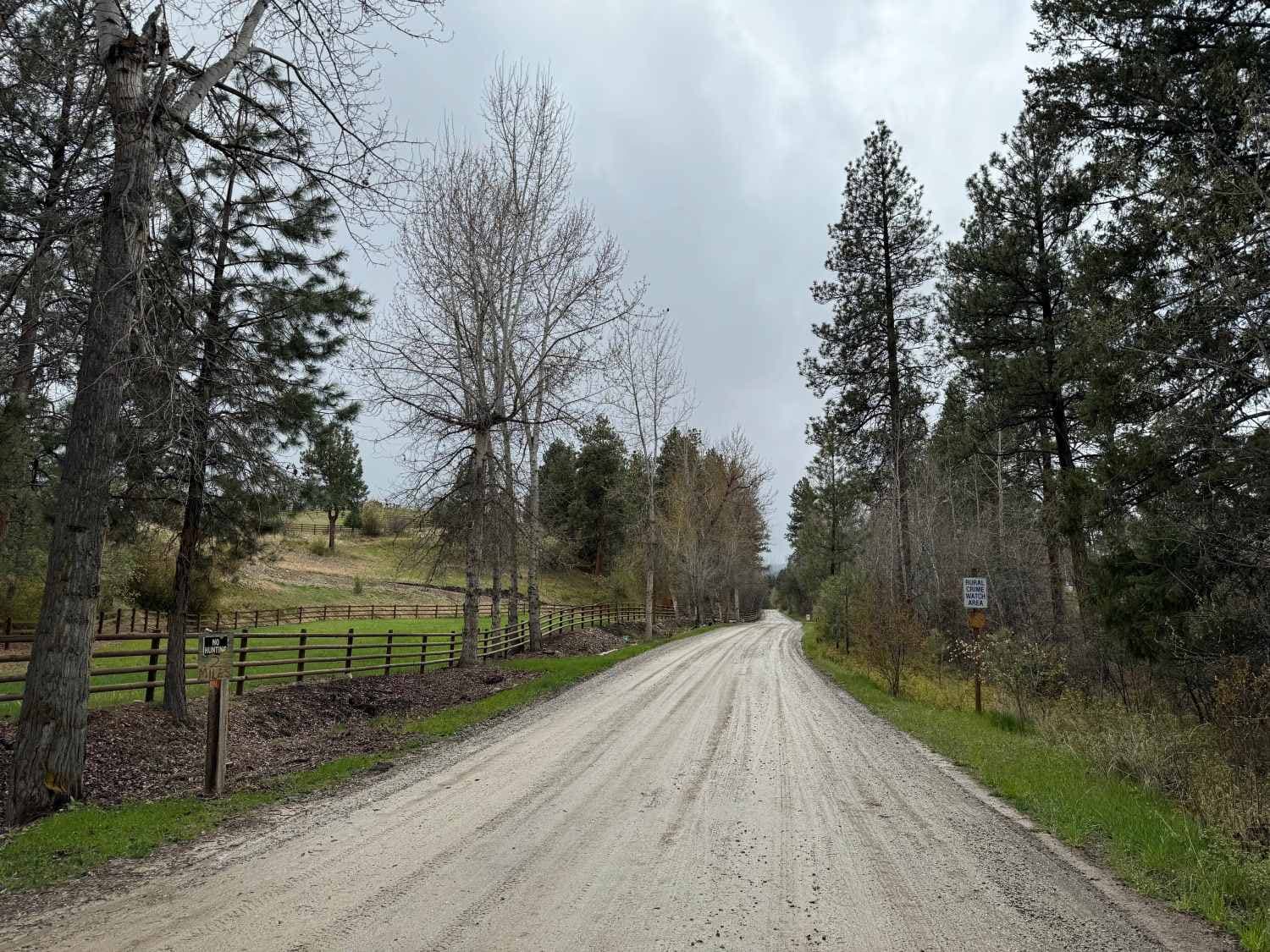
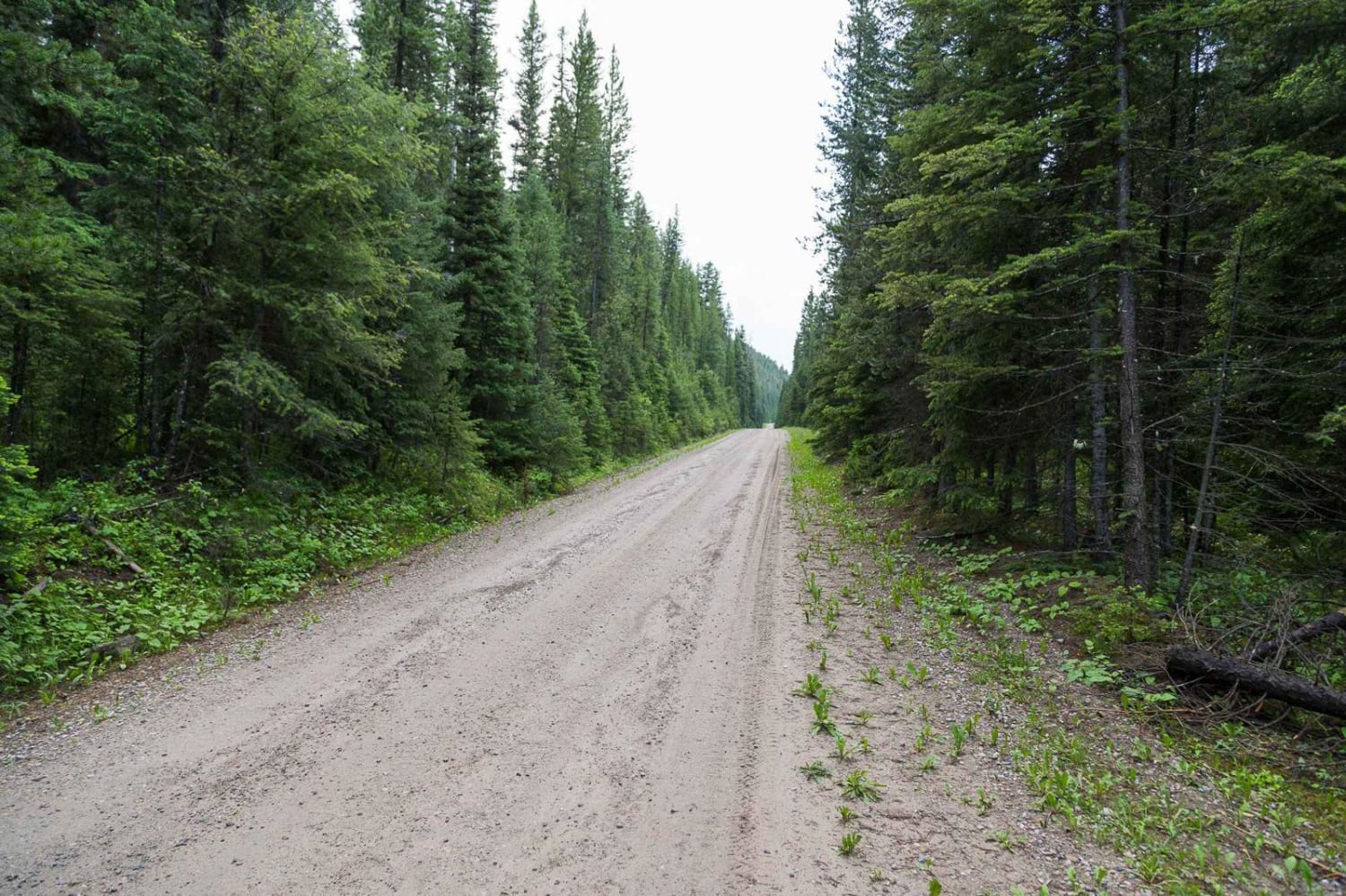
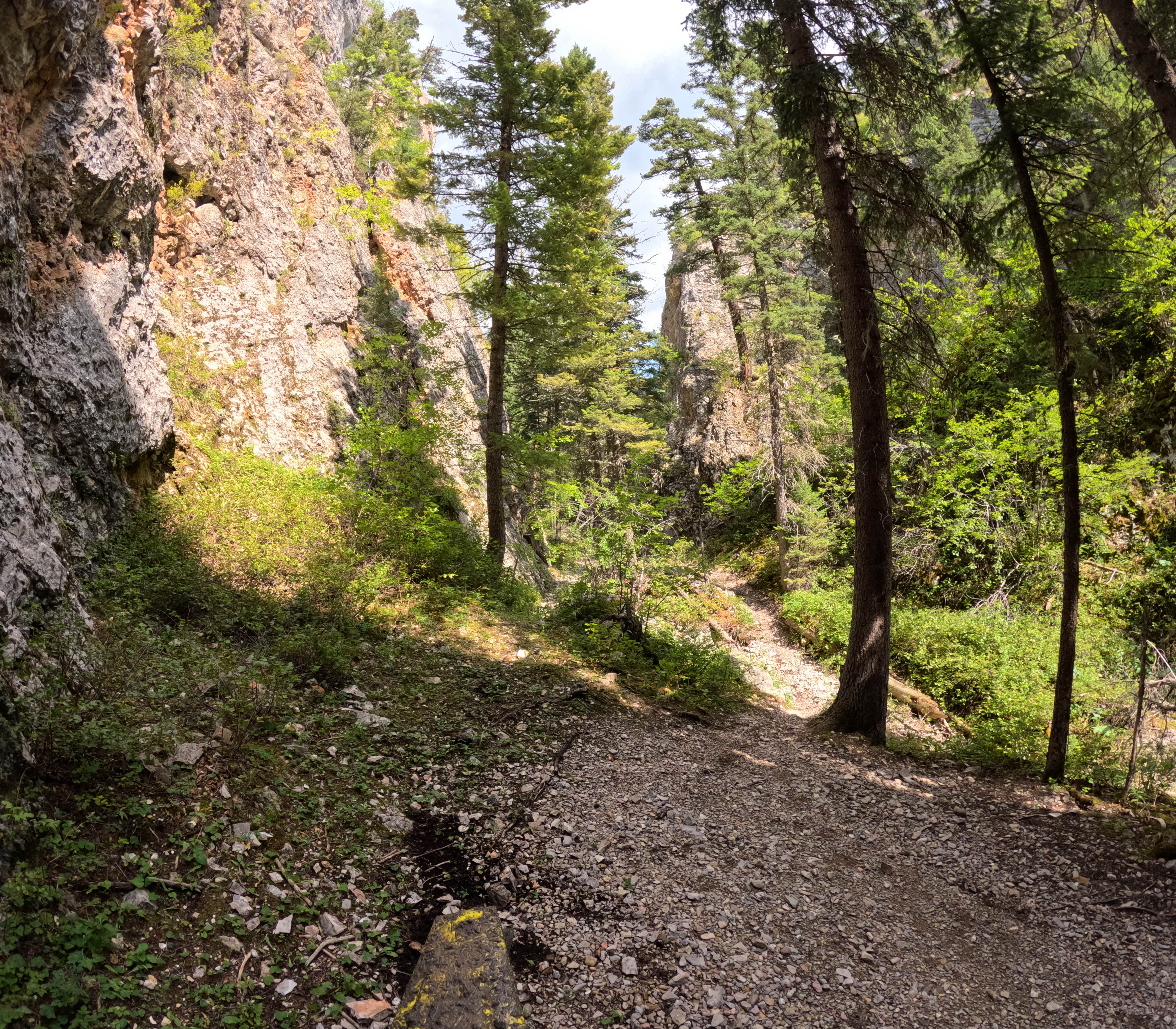
Spoon Creek is a neat little trail just south of Darby, Montana. It starts just off West Fork Road, barely off of Highway 93. The trail starts out in a residential area and the trail is very wide with smooth gravel. After about a mile, you will get out of private land and into Bitterroot National Forest. Shortly after that, the trail will fork and you will want to take the right fork, which is the more natural feeling way to go. Not too long after that, the trail will narrow and become more dirt rather than gravel. There also becomes more brush and trees that are overgrown into the trail the further you go. As you continue, the trail conditions diminish and there are some ruts from runoff to look out for. However, the trail is still pretty easy. It just becomes more difficult to pass other vehicles the further you go. There are a couple of decent-sized rocks that have fallen from the hillside that you will want to avoid going over. This trail can get pretty muddy after a good rain or right after snowmelt, so make sure you have a 4x4 if the trail is wet. The trail just comes to an end, shortly after a gate that is closed until 6/16. At the end, there isn't much room to turn around, however, it is possible in a half-ton pickup. The last image is of the end of the road.
Photos of Spoon Creek
Difficulty
This is an easy trail, especially towards the start. It goes from a nice smooth gravel trail to more of a single-vehicle-wide dirt trail towards the end. There are a couple of rocks that you will want to go around and some overgrown bushes and trees, but other than that, there aren't really any obstacles. There are a couple of mud pits if you go after a good rain. There are no water crossings on this trail and there are some ledge areas.
Status Reports
Spoon Creek can be accessed by the following ride types:
- High-Clearance 4x4
- SUV
- SxS (60")
- ATV (50")
- Dirt Bike
Spoon Creek Map
Popular Trails
Swede Mountain Runabout
The onX Offroad Difference
onX Offroad combines trail photos, descriptions, difficulty ratings, width restrictions, seasonality, and more in a user-friendly interface. Available on all devices, with offline access and full compatibility with CarPlay and Android Auto. Discover what you’re missing today!
