2 trails found in Montana
Which "stanley creek" are you looking for?
We found 2 off-road trails in Montana matching your search. Pick the one you're looking for below.
Stanley Creek
This route heads into the hills and is a nice out-and-back detour from the main Cottonwood Lakes trail. Overall it's narrow with pullouts and some potholes to navigate. The trail travels through a section of old burned forest, so be on the lookout or ready to clear deadfall, especially after a storm...
Learn more about Stanley Creek
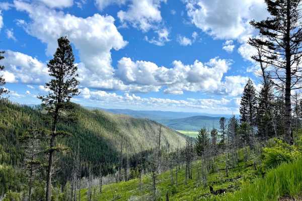
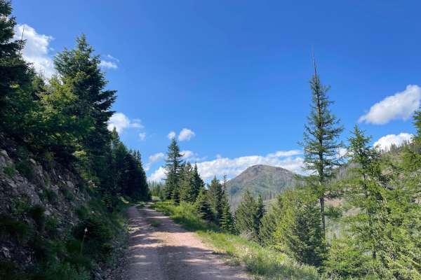
Little Stanley Creek
This old man forestry road is in amazing condition. It is smooth and solid as it runs along a shelf to the top of the ridge. The end has been filled in to allow for regrowth, but there is a great camping spot with a stunning view. Strange that there is no Verizon LTE here, so you're going to have to...
Learn more about Little Stanley Creek