South Pryor Mountain Road
Total Miles
2.8
Technical Rating
Best Time
Spring, Summer, Fall, Winter
Trail Type
Full-Width Road
Accessible By
Trail Overview
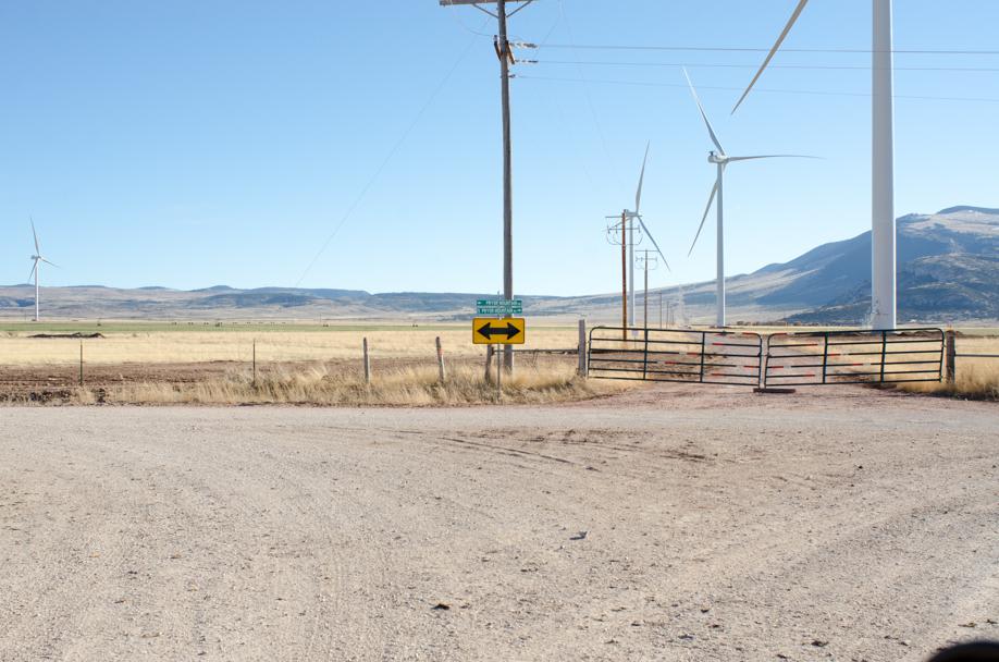
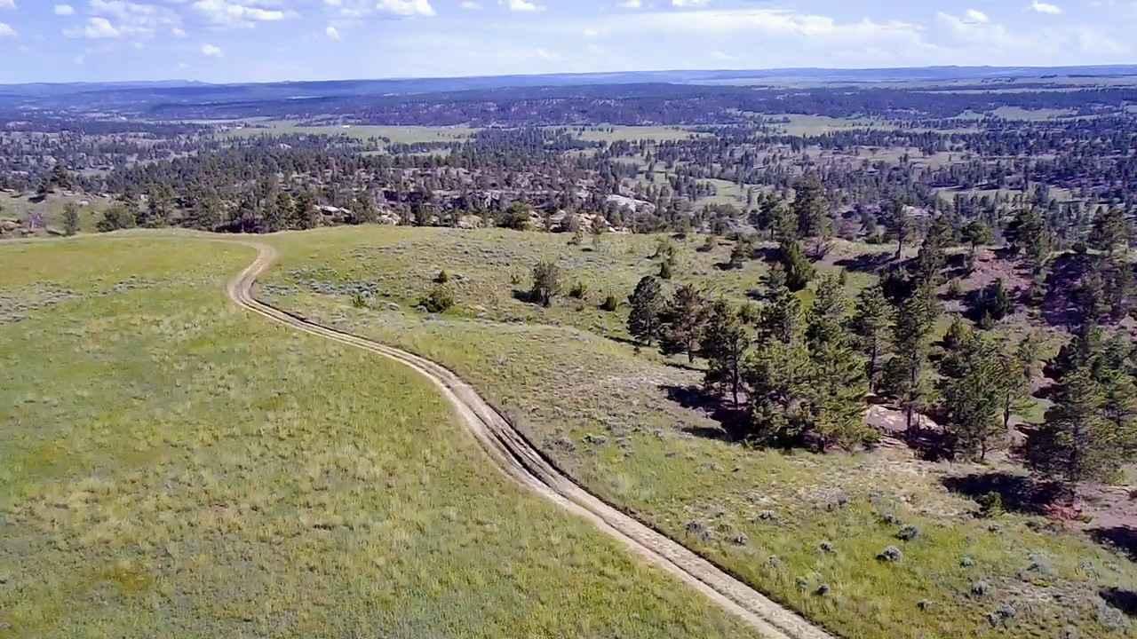
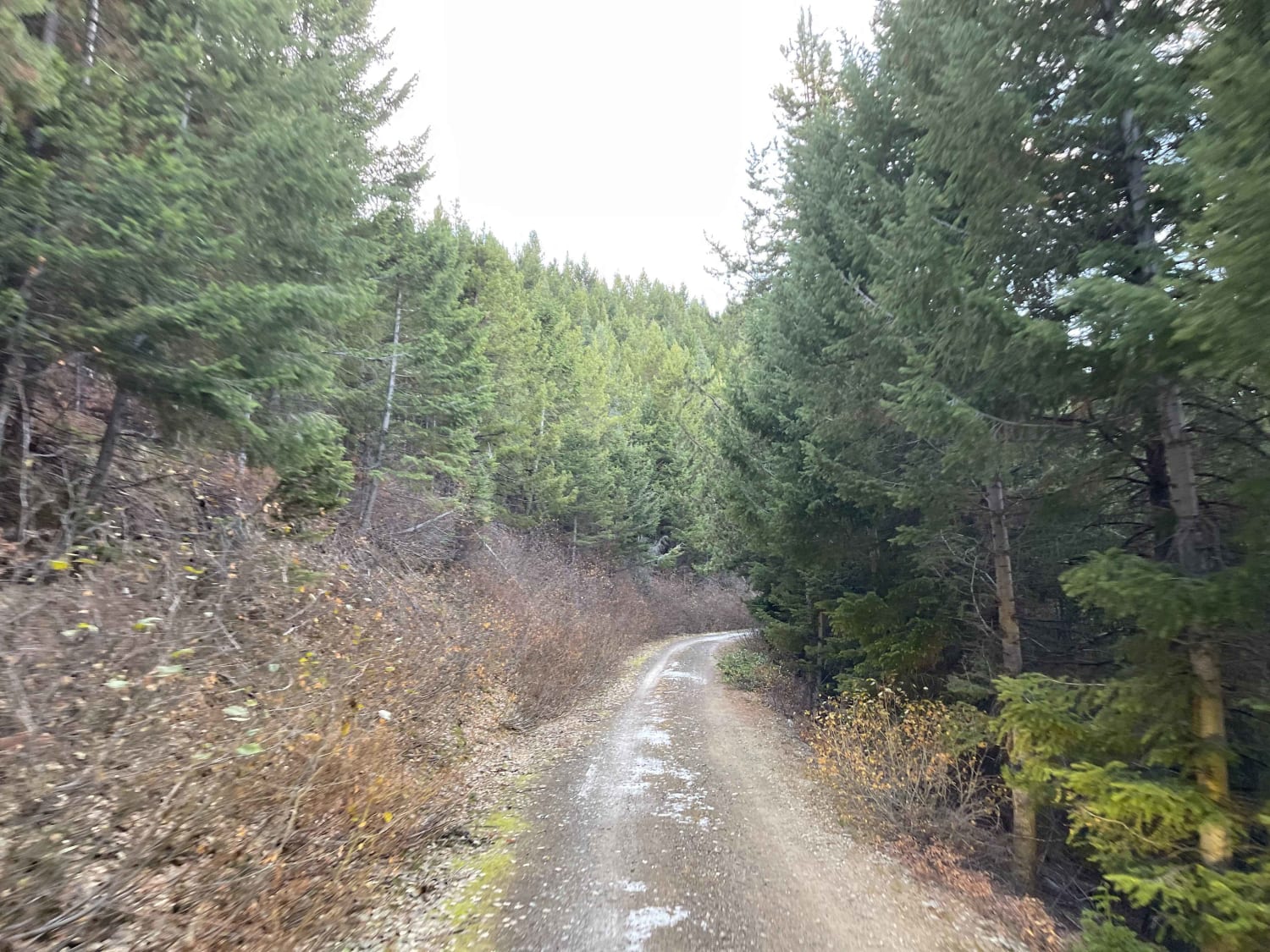
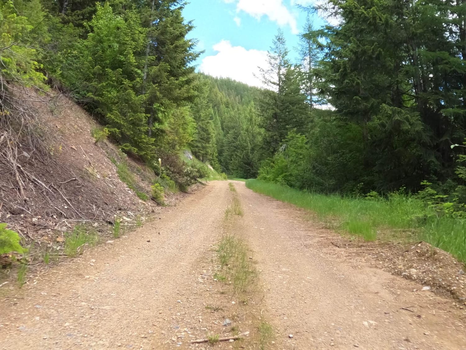
South Pryor Mountain road will lead to South Railbed Road which eventually leads to Warren, MT. Windmills are abundant in this area known as the Pryor Mountain Wind Project. South Pryor Mountain Road is a short stretch of road and is well maintained and accessible by most vehicles during the dry season. Cellular coverage is available.
Photos of South Pryor Mountain Road
Difficulty
This is a short dirt road.
Status Reports
South Pryor Mountain Road can be accessed by the following ride types:
- High-Clearance 4x4
- SUV
- ATV (50")
- Dirt Bike
South Pryor Mountain Road Map
Popular Trails
Horsethief Recreation Area
Woods Ridge Loop
Ford Basin to Home/Lime Gulch
Johnson-First Creek Road-W.Side Ninemile Road
The onX Offroad Difference
onX Offroad combines trail photos, descriptions, difficulty ratings, width restrictions, seasonality, and more in a user-friendly interface. Available on all devices, with offline access and full compatibility with CarPlay and Android Auto. Discover what you’re missing today!