Thompson Falls and Rock Creek Trail - FS 352 / 378
Total Miles
9.8
Technical Rating
Best Time
Spring, Summer, Fall
Trail Type
Full-Width Road
Accessible By
Trail Overview
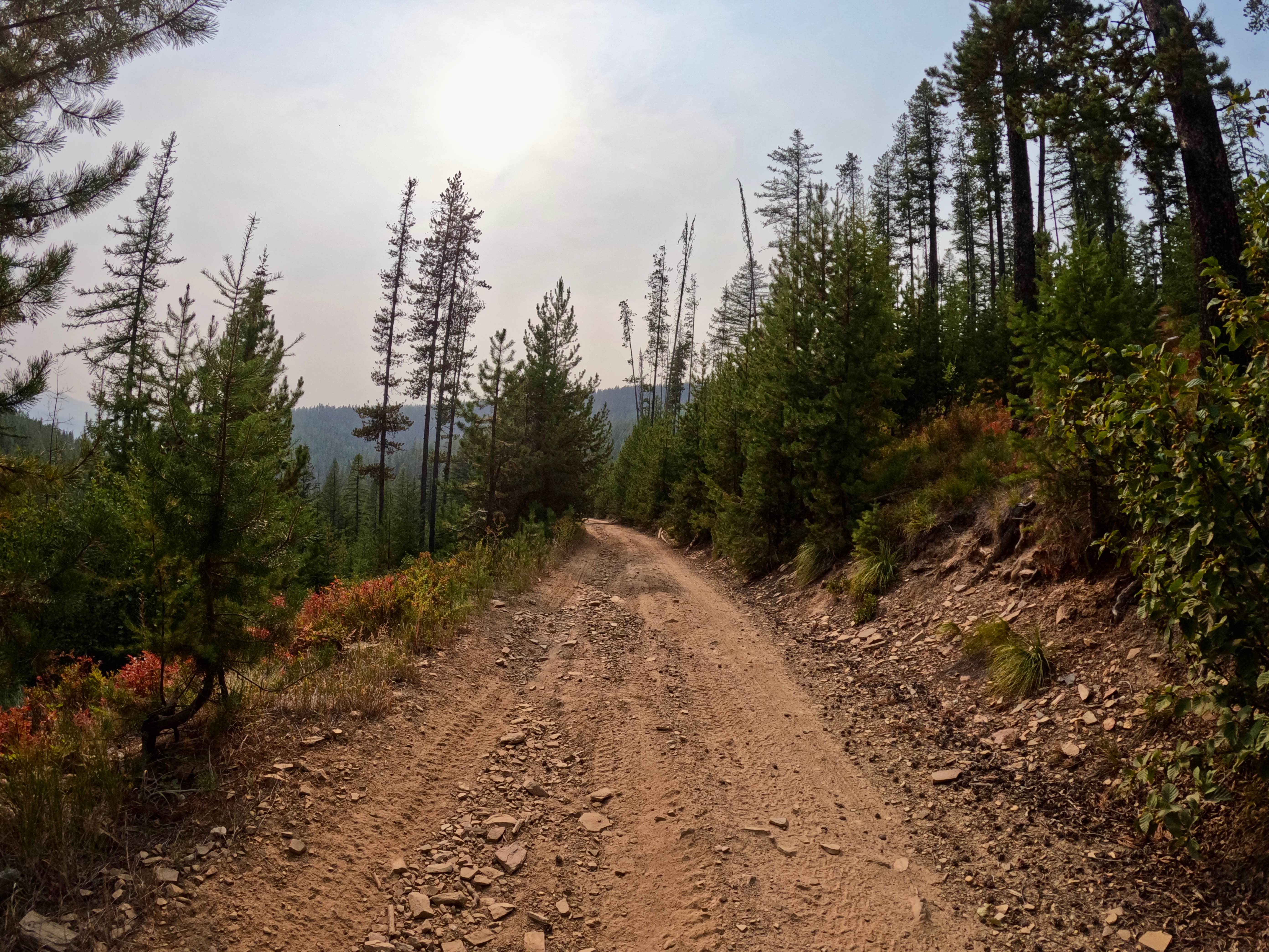
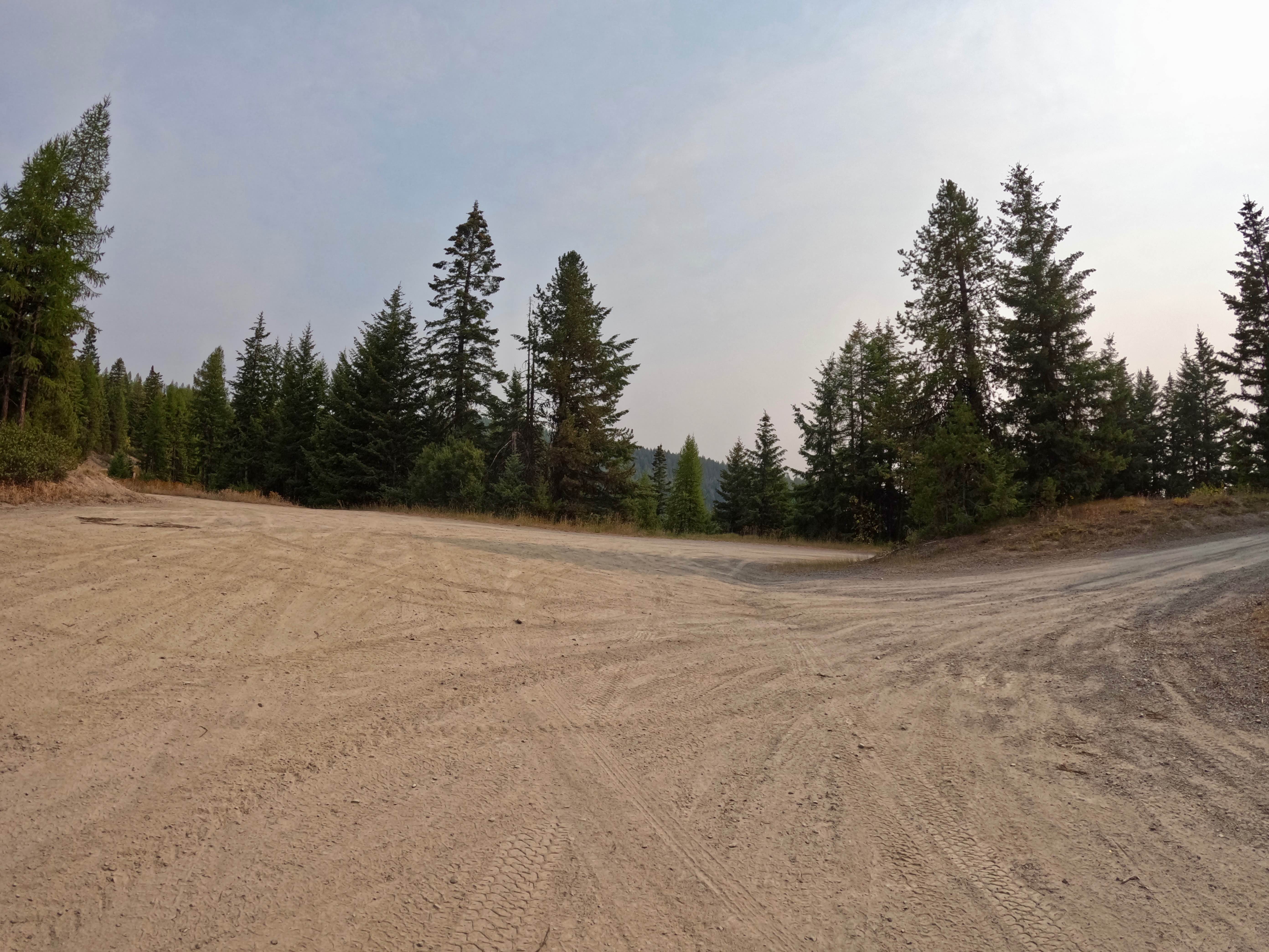
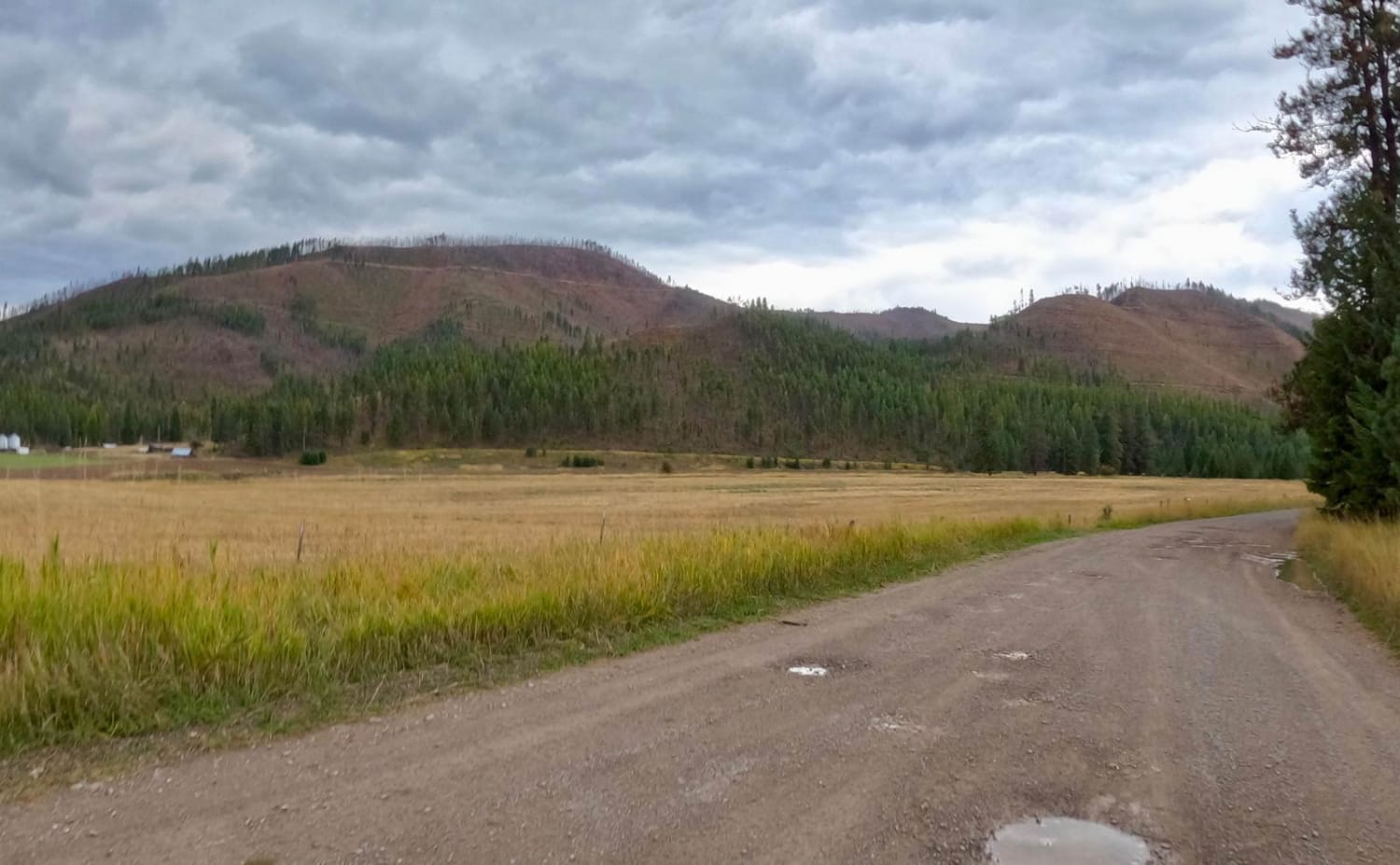
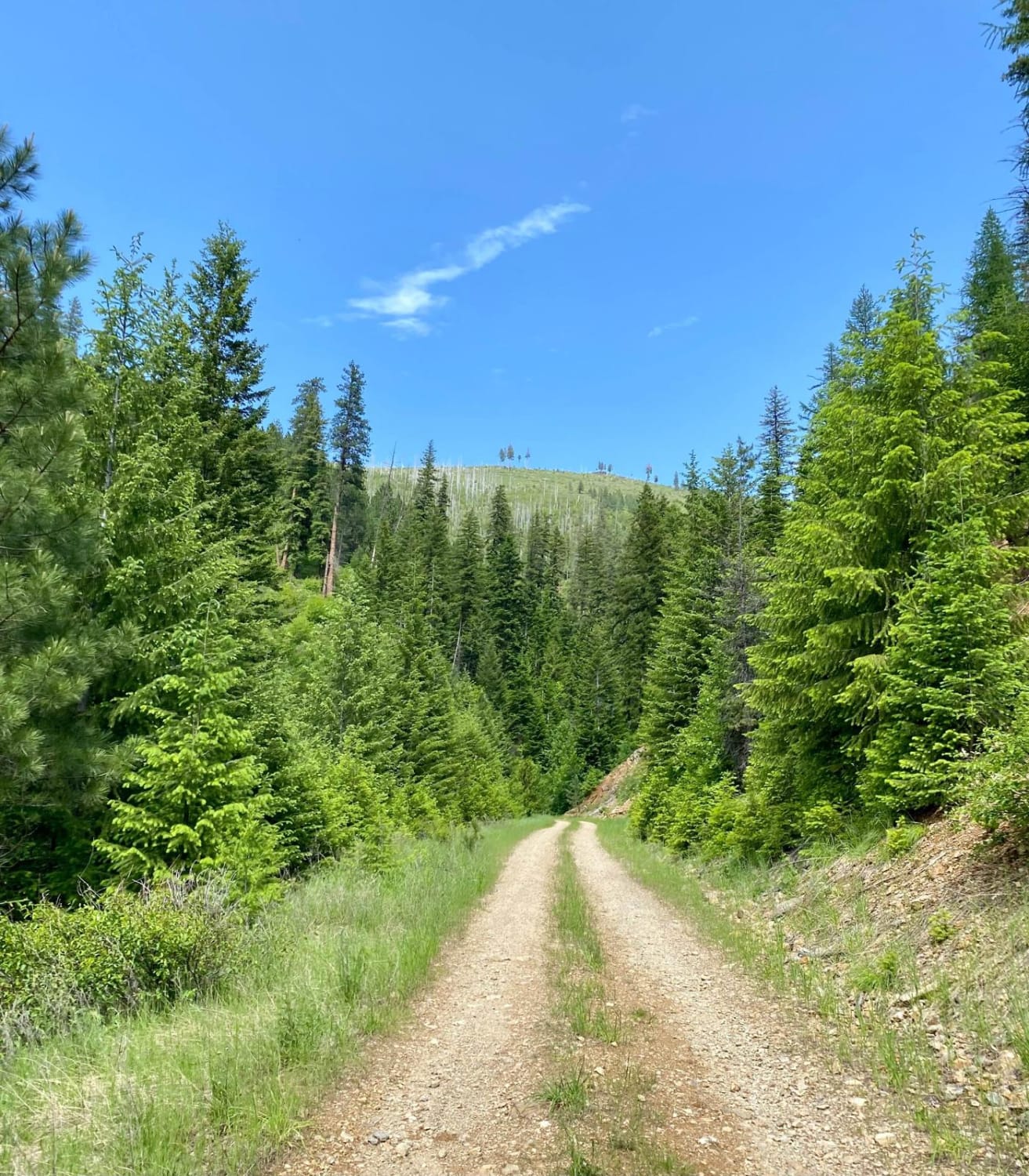
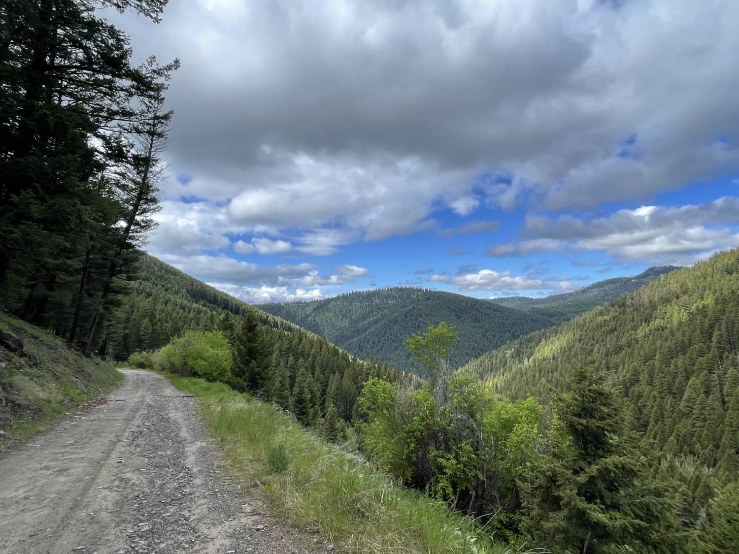
This route begins at the 3-way intersection of Forest Service Roads 352, 378, and 419 from the Thompson Falls Trail. The route is two-lane for a short spell and turns into one lane of bony rock and gravel. The route is very rough in sections with ruts and steep drops close to the edge of the route. Sharp blind corners with steep slopes will be encountered. Dusty when dry, and no cell service is available. There are very few pull-outs along the narrow route. No other traffic was encountered along the route. The route will climb from 4900 to 5900 feet in elevation with some open scenic spots to view.
Photos of Thompson Falls and Rock Creek Trail - FS 352 / 378
Difficulty
The trail is narrow in places with loose rock, blind corners, and steep drop-offs along the edge, requiring careful navigation.
Status Reports
Thompson Falls and Rock Creek Trail - FS 352 / 378 can be accessed by the following ride types:
- High-Clearance 4x4
- SUV
- SxS (60")
- ATV (50")
- Dirt Bike
Thompson Falls and Rock Creek Trail - FS 352 / 378 Map
Popular Trails
Saint Pats Road-Cyr Iron Mountain Road
Verde Creek Road-Sunrise Road-Quartz Road

Canyon ATV Trail
First Chance Gulch To Bear Gulch
The onX Offroad Difference
onX Offroad combines trail photos, descriptions, difficulty ratings, width restrictions, seasonality, and more in a user-friendly interface. Available on all devices, with offline access and full compatibility with CarPlay and Android Auto. Discover what you’re missing today!