Sweeney Creek Trail
Total Miles
6.2
Technical Rating
Best Time
Summer, Fall
Trail Type
High-Clearance 4x4 Trail
Accessible By
Trail Overview
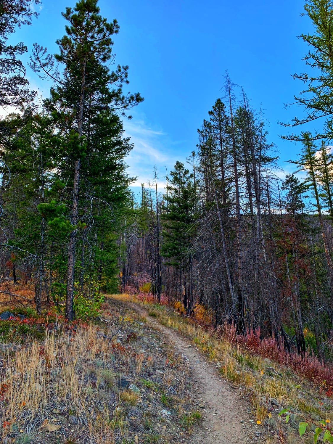
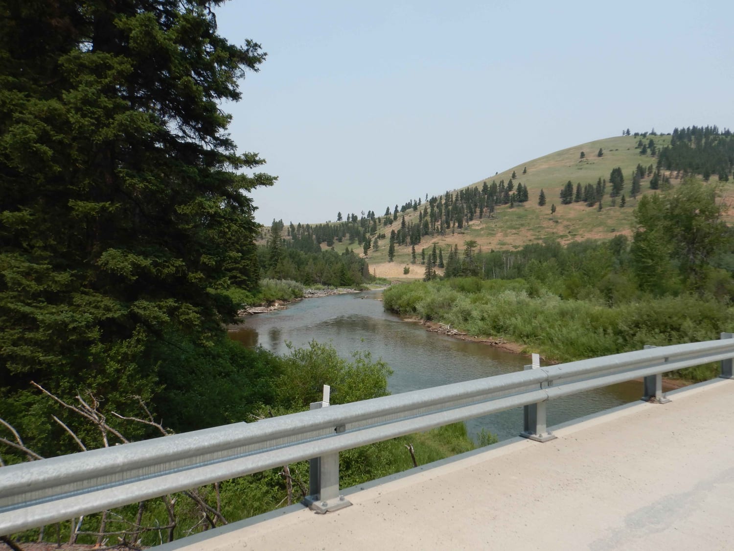
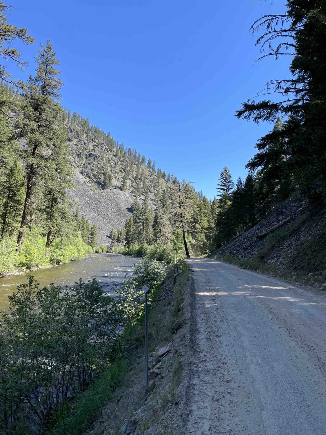
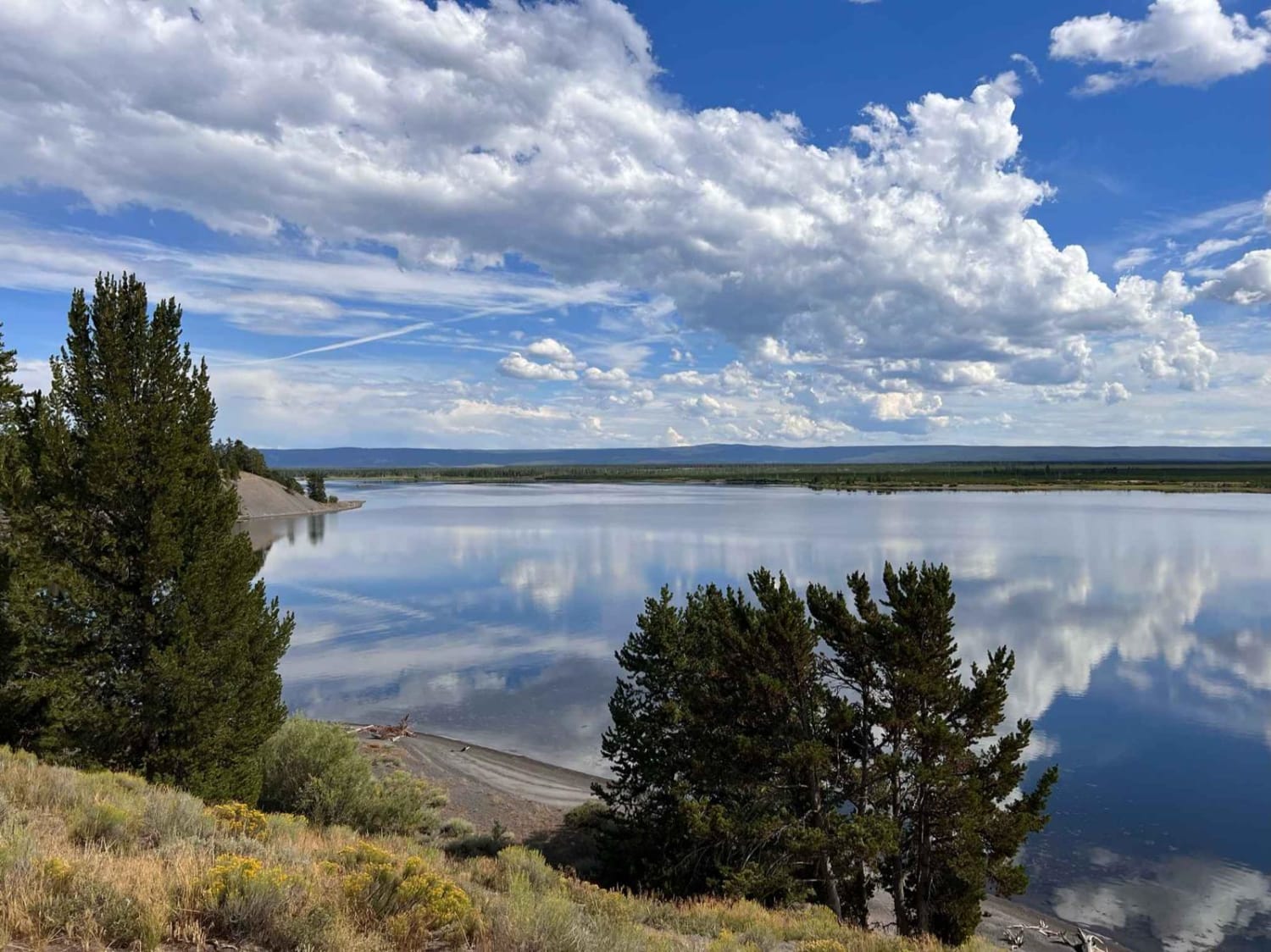
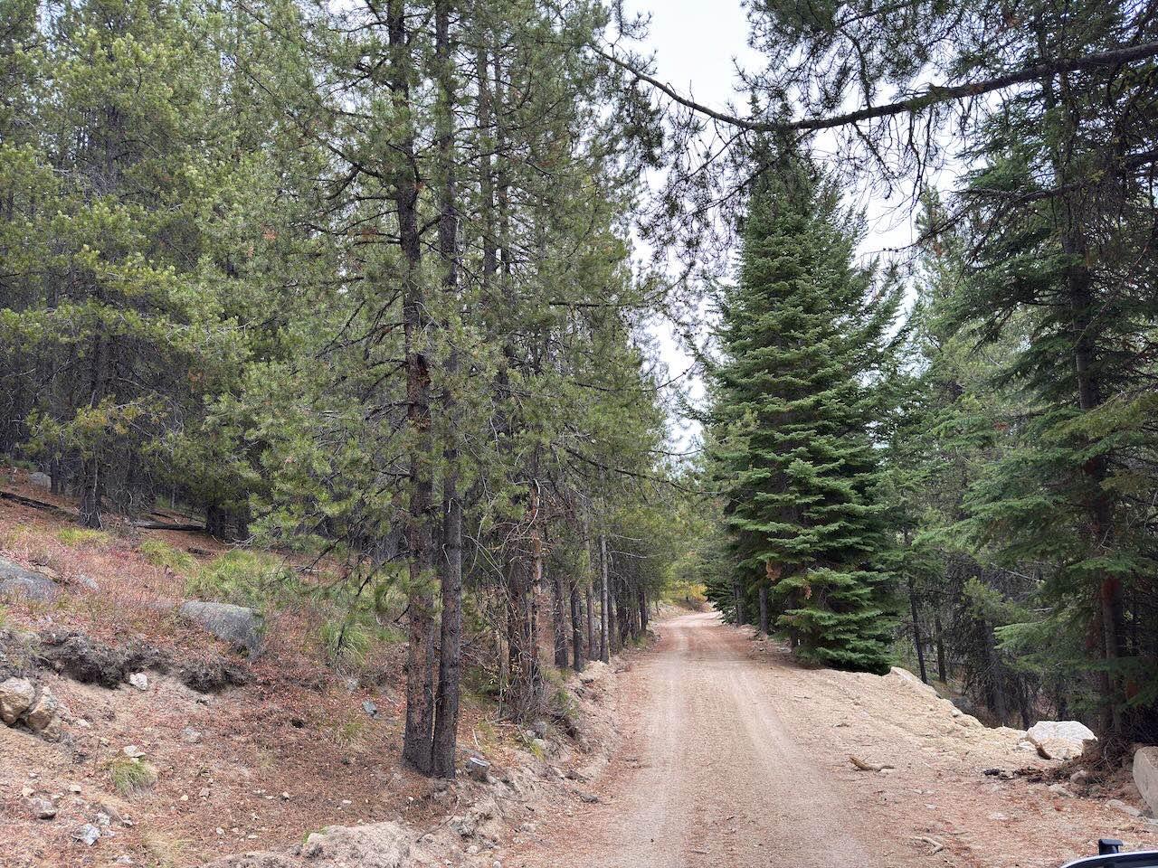
This is a 4x4 high-clearance switchback dirt road. This trail begins through a gravel residential neighborhood; signs ask to drive slowly and keep the dust down. There are a few narrow one-lane sections that run up the ridges with pull-outs at the top and bottom of each section. Take note of pull-outs along the way. Halfway up the trail, it gets more rutted and would be muddy and prove difficult after snowmelt or a good rainstorm. This is a beautiful drive in the fall with the leaves changing colors. The trees thin out and it opens up the last couple of switchbacks towards the top of the trail to stunning views out over the Bitterroot Valley. At the end of the trail is a small dirt parking area for the Sweeney Creek Hiking trail and there is a walk-up dispersed campsite at the top of the hill with to-die-for views. This road is not maintained in winter. Sweeney Hiking Trailhead has an adequate parking area for 3-5 cars. It accesses Sweeney Ridge Trail #393, several mountain lakes, and the Selway-Bitterroot Wilderness. There are no facilities.
Photos of Sweeney Creek Trail

Difficulty
There are narrow one-lane shelf road sections and deep ruts from mud closer to the top.
Status Reports
Sweeney Creek Trail can be accessed by the following ride types:
- High-Clearance 4x4
- SxS (60")
- ATV (50")
- Dirt Bike
Sweeney Creek Trail Map
Popular Trails
Nevada-Ogden Road
Whisky Bay Trail
The onX Offroad Difference
onX Offroad combines trail photos, descriptions, difficulty ratings, width restrictions, seasonality, and more in a user-friendly interface. Available on all devices, with offline access and full compatibility with CarPlay and Android Auto. Discover what you’re missing today!