10 trails found in Arkansas
Which "rock creek" are you looking for?
We found 10 off-road trails in Arkansas matching your search. Pick the one you're looking for below.
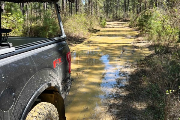
Parker Creek to Rock Creek
Parker Creek to Rock Creek is an intermediate gravel road with several deep and soft mudholes after heavy rains. High clearance 4x4 is highly recommended along this section of the trail. Winding through the private property this trail takes you deep within the remote woods of Arkansas WMA. The last ...
Learn more about Parker Creek to Rock Creek
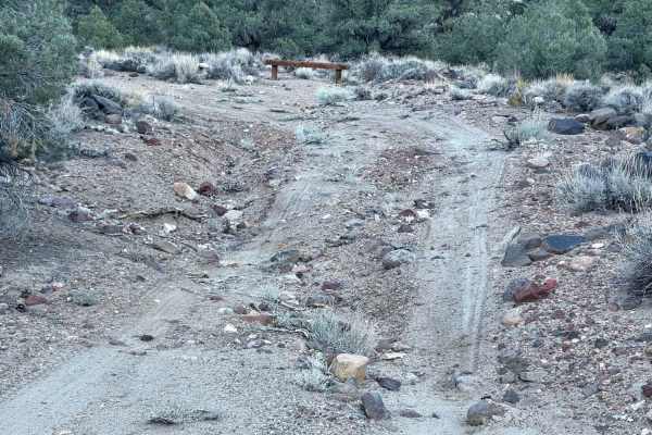
Rock Creek Rock Garden Hill Climb
A narrow, steep, seldom traveled trail that runs up the side of the hill. There are frequent rockslides leaving large boulders in the trail. The trail is sandy with very soft switchbacks and very steep drop-offs with narrow sections. There are also off-camber sections that are quite narrow. The view...
Learn more about Rock Creek Rock Garden Hill Climb
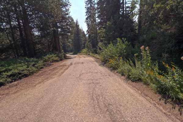
Rock Creek Road - FS 9S090
Rock Creek Road (FS 9S090) is the essential spinal cord of the Bald Mountain OHV area, a 12.7-mile journey that changes its personality more often than a moody teenager. Connecting Highway 168 at the Tamarack Ridge Snowpark to Dinkey Creek Road, this route is the primary artery for accessing the reg...
Learn more about Rock Creek Road - FS 9S090
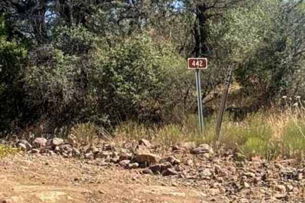
Rock Creek - FS 442
Trail 442 (Rock Creek Road) begins off Trail 414 / Rye Cypress Road and is primarily an out-and-back route, although it does connect to several other spur trails throughout the area.
The trail starts as a rocky gravel two-track winding through classic central Arizona high desert terrain filled with ...
Learn more about Rock Creek - FS 442
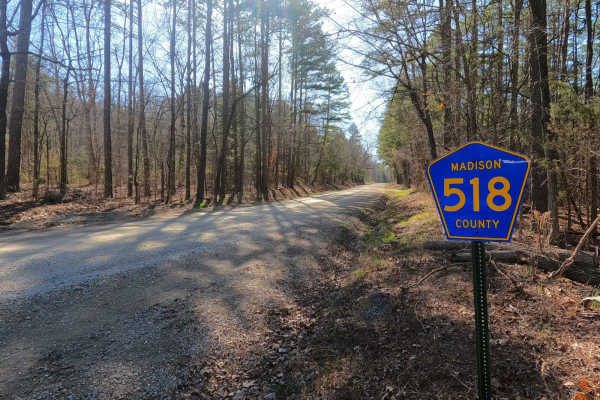
Rock Creek Road
Rock Creek Road, or Madison County 518, is a gravel county road that traverses half private and half Mark Twain National Forest land through its track. The road is very scenic, showing off beautiful short-leaf pines growing adjacent to Rock Creek that parallels the edge of the road, giving views Mis...
Learn more about Rock Creek Road
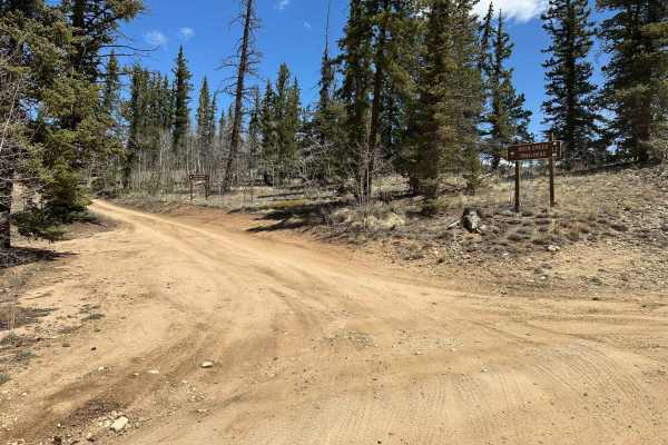
Rock Creek Road - FS 69
Rock Creek Road, also known as FS 69, connects FS 42 at the south end with County Road 2 at the north end of the trail. That trail takes you along Rock Creek to the Rock Creek Lake and the National Fish Hatchery. It is a gravel forestry road with some soft sand spots that can turn into mud holes aft...
Learn more about Rock Creek Road - FS 69

Rock Creek Red
Rock Creek is a stretch of glacial rocks with water flowing below. Among these rocks are sizable boulders with 3-4 foot deep gaps in between. Think of it as a field of rocks with holes. This trail is tough to traverse unless your vehicle sports tires of 37 inches or more.
Learn more about Rock Creek Red
Rock Creek - 4811
Embark on this 15-mile journey through the eastern section of the 1.1-million-acre Mount Hood National Forest. You begin right off of Wamic Road which is paved. You start a steady climb up this washboard, pothole road where you will find beautiful scenic views of the Cascade Mountains and Tygh Valle...
Learn more about Rock Creek - 4811
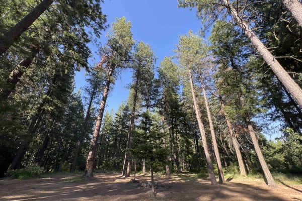
Rock Creek Road
Rock Creek Road is an access road for Rock Creek Trailhead. It is comprised of hard-packed dirt without any obstacles to speak of; most vehicles will do fine. There are numerous campsites along the way, some with views. The route ends at the hiking trailhead, where ample parking is available. Cell s...
Learn more about Rock Creek Road
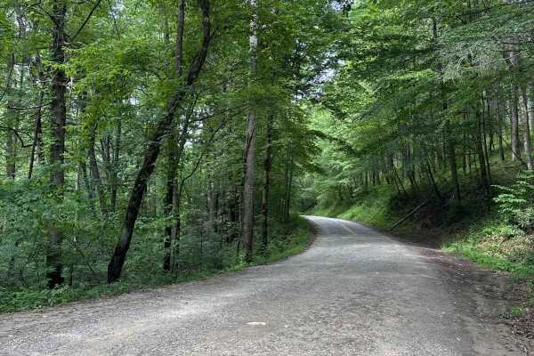
Rock Creek Run
Rock Creek Run is an easy trail that will lead you through the deep forest. There is a stunning waterfall on this trail and the trail runs alongside Rock Creek. There are several areas that open up to offer stunning views of the surrounding mountains. The trail is mainly comprised of loose gravel wi...
Learn more about Rock Creek Run