W. Nine Mile Rd (5520)-First Cr Rd (5475)
Total Miles
16.5
Technical Rating
Best Time
Summer, Fall
Trail Type
Full-Width Road
Accessible By
Trail Overview
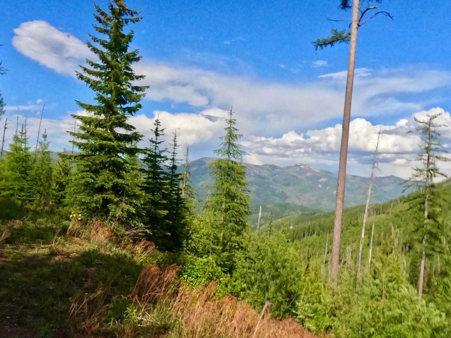
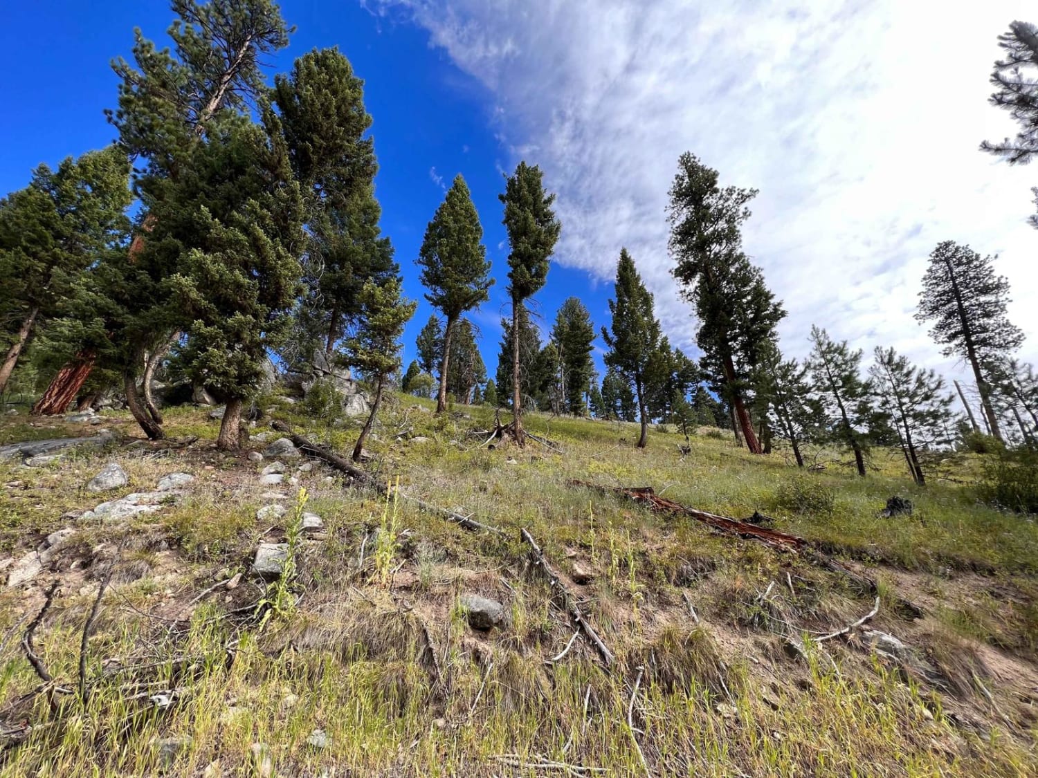
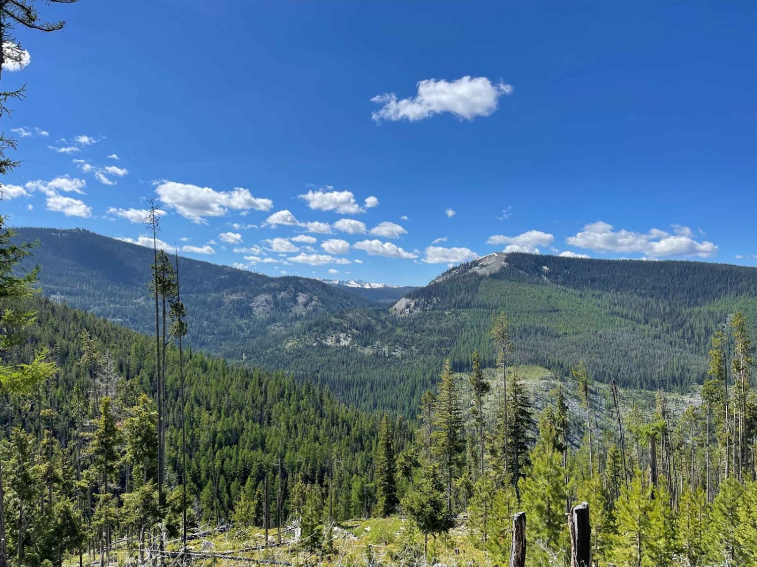
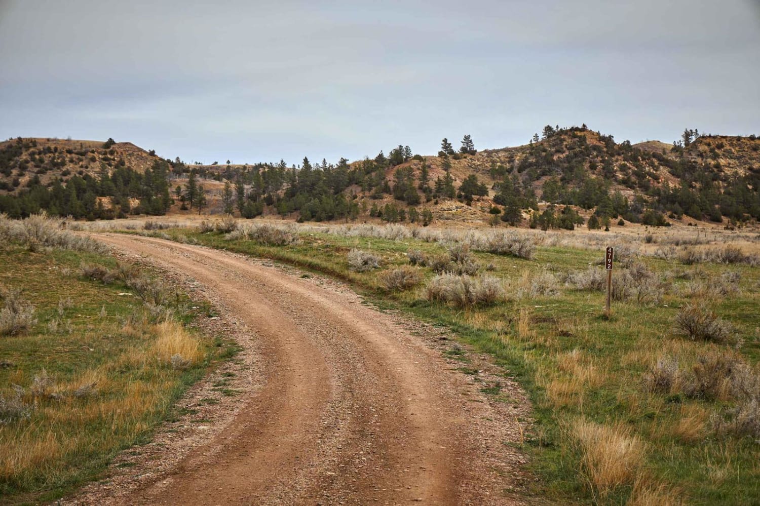
The route begins at the 3400' elevation of Nine Mile Rd and ends at the 5400' elevation of First Cr. Rd. The route passes over Nine Mile Cr. and makes its way through some private property, but mostly forest land. The route is mostly made up of dirt and gravel with many curves and embankments. The route is mostly two lanes but in the higher elevations, there is only room for one vehicle with no room to pass. The route is dotted with many places for a lunch or beverage break with some awesome scenery in the higher elevations. For picture taking this is a scenic route with the mountains that eventually come into view from the north. The route is most likely the quickest way over to Lozeau from Nine Mile Rd.
Photos of W. Nine Mile Rd (5520)-First Cr Rd (5475)
Difficulty
Loose rock, some very narrow spots, steep embankments, could be closed due to snow in the spring, sharp turns
Status Reports
W. Nine Mile Rd (5520)-First Cr Rd (5475) can be accessed by the following ride types:
- High-Clearance 4x4
- SUV
- SxS (60")
- ATV (50")
- Dirt Bike
W. Nine Mile Rd (5520)-First Cr Rd (5475) Map
Popular Trails
Swift Creek Trailhead
Reanus Cone Trail Part 2
The onX Offroad Difference
onX Offroad combines trail photos, descriptions, difficulty ratings, width restrictions, seasonality, and more in a user-friendly interface. Available on all devices, with offline access and full compatibility with CarPlay and Android Auto. Discover what you’re missing today!

