Stillwater River Road
Total Miles
15.6
Technical Rating
Best Time
Spring, Summer, Fall, Winter
Trail Type
Full-Width Road
Accessible By
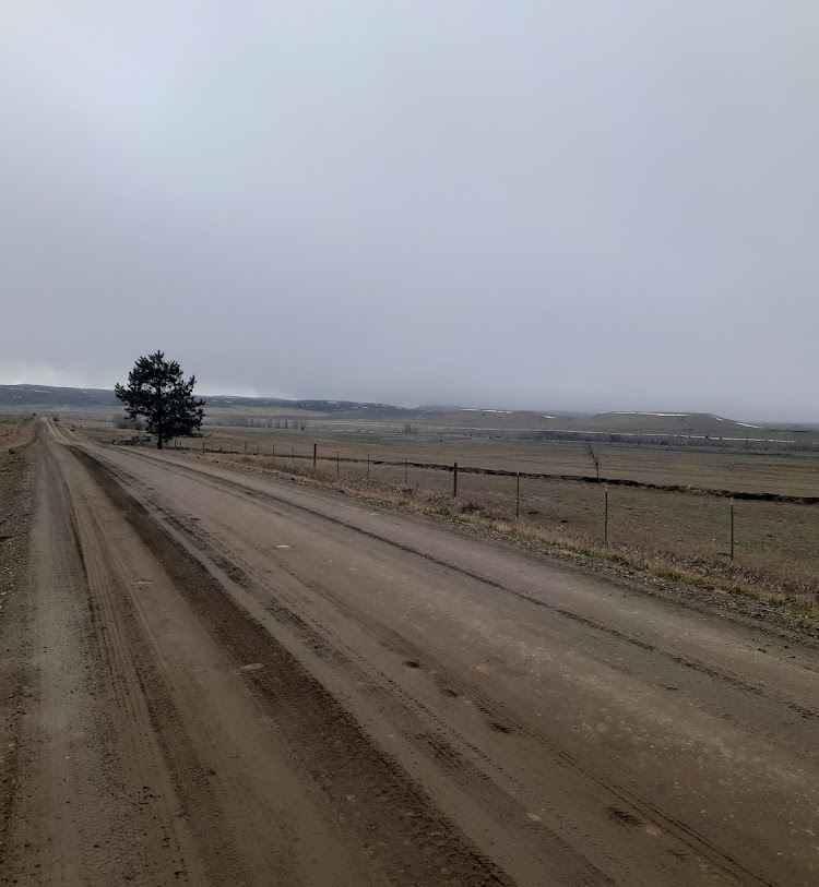
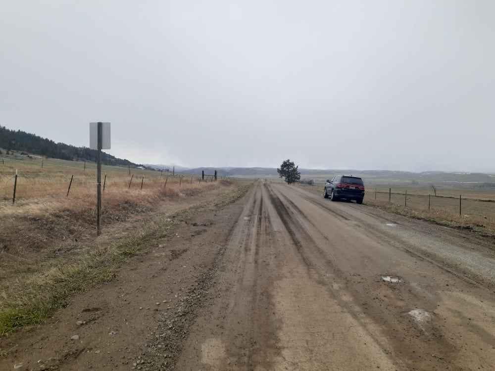
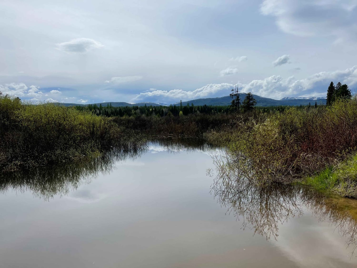
Trail Overview
This is a well-maintained gravel road that follows the Stillwater River. It's open year-round with limited access during heavy snowy weather. The first 6.5 miles is a paved two-lane road west of Absarokee before turning into gravel and then back into pavement 1.2 miles before the junction with Nye Road. There are 3 large Fishing Access Sites with room for larger trailers and campers and vaulted toilets.
Photos of Stillwater River Road
Difficulty
Definitely check road conditions in winter before heading in.
Status Reports
Stillwater River Road can be accessed by the following ride types:
- High-Clearance 4x4
- SUV
- SxS (60")
- ATV (50")
- Dirt Bike
Stillwater River Road Map
Popular Trails

St. Marys Lake/Twin Lake Road
Clearwater Canoe Put In Trail
The onX Offroad Difference
onX Offroad combines trail photos, descriptions, difficulty ratings, width restrictions, seasonality, and more in a user-friendly interface. Available on all devices, with offline access and full compatibility with CarPlay and Android Auto. Discover what you’re missing today!