Skyline Mine Spur
Total Miles
3.7
Technical Rating
Best Time
Spring, Summer, Fall
Trail Type
High-Clearance 4x4 Trail
Accessible By
Trail Overview
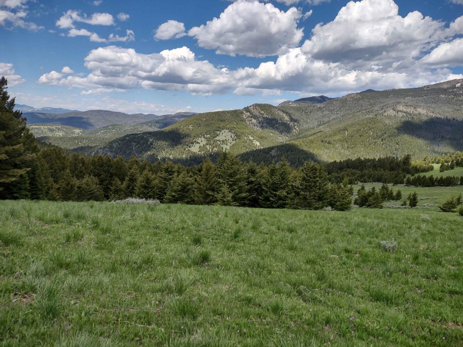
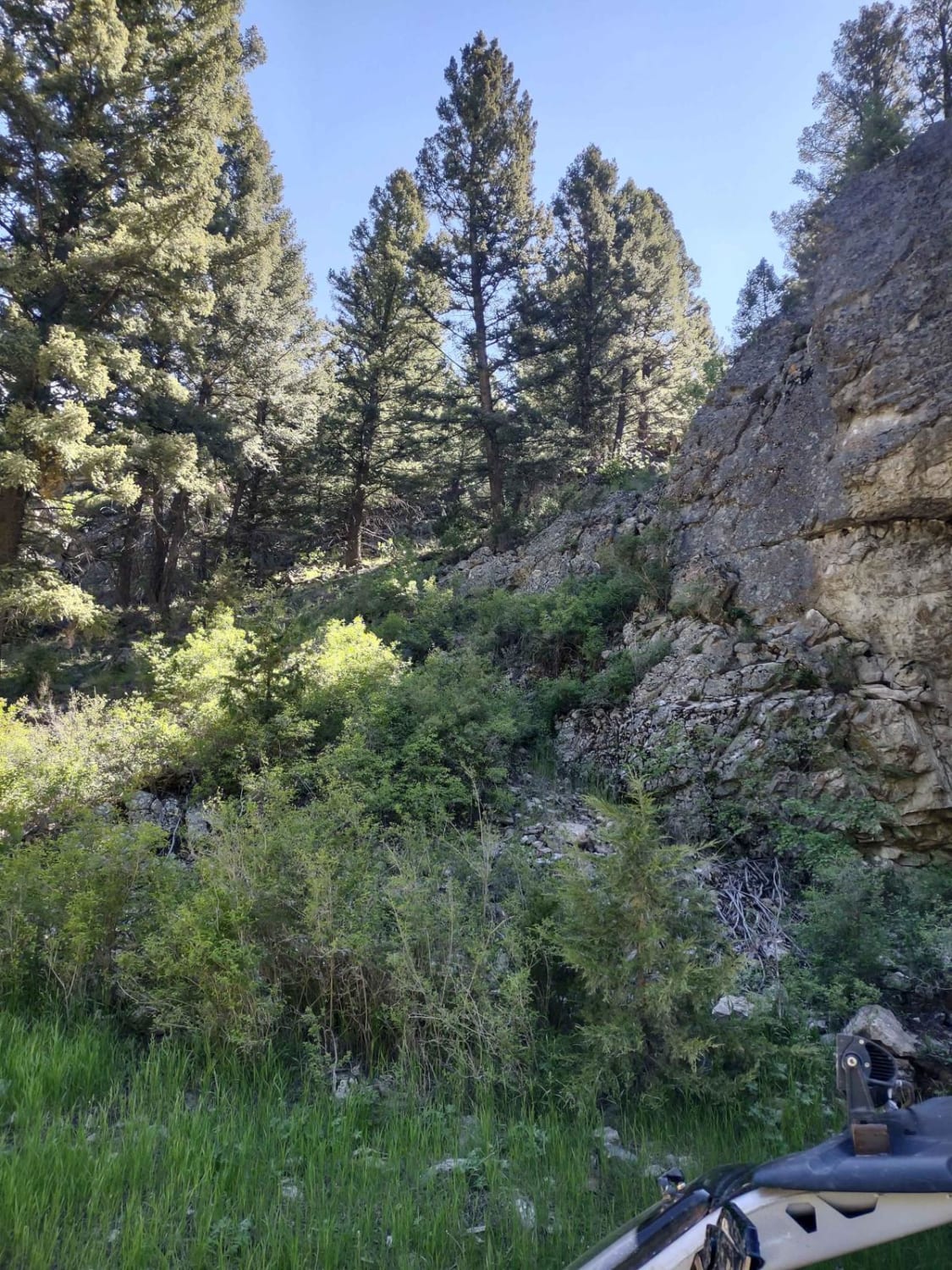
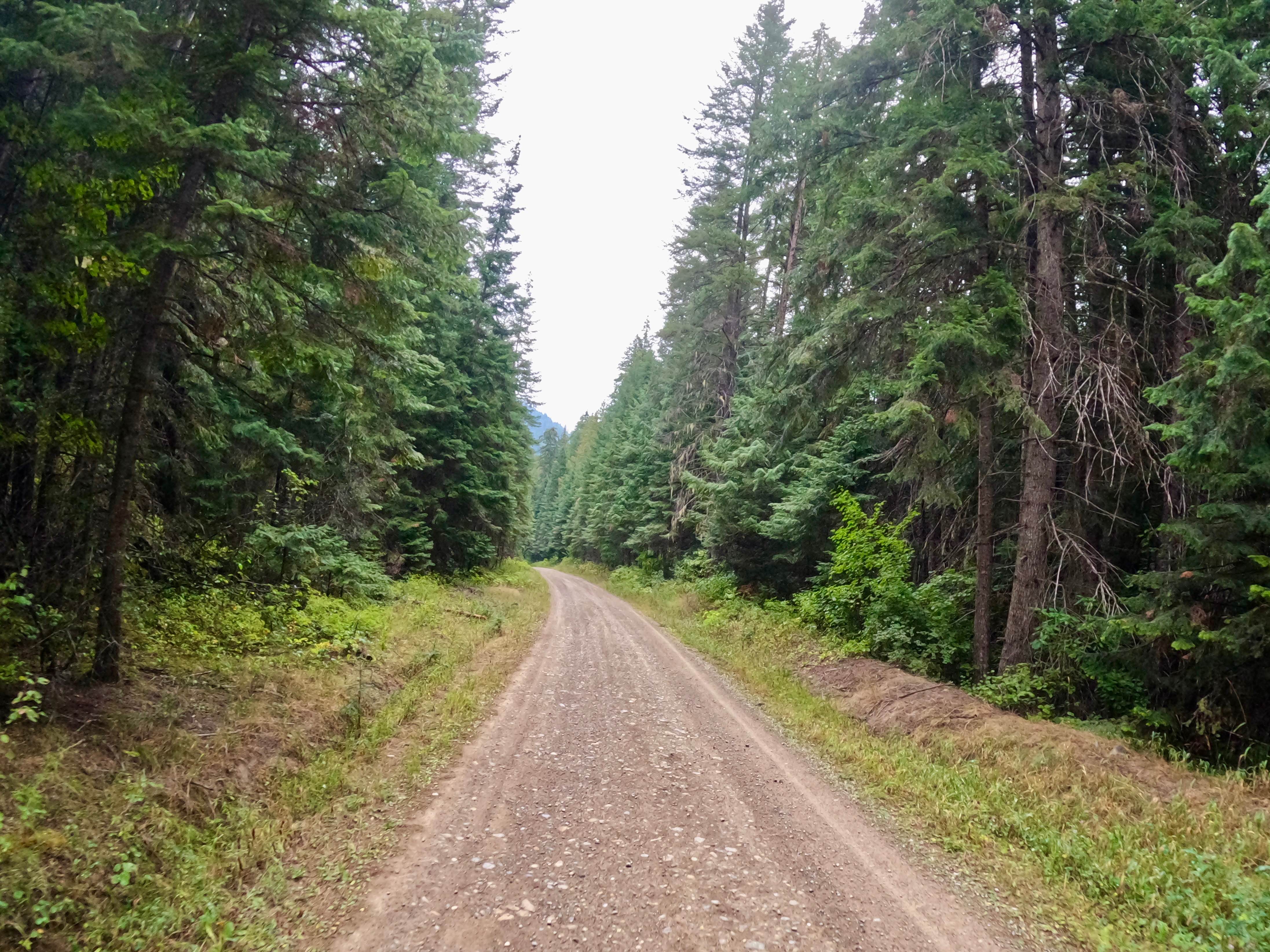
This 4-mile track connects Elkhorn Road to Skyline Mine Trail in the Deerlodge National Forest. You turn off of Elkhorn Road near Tacoma Gulch and basically travel northeast to a high point of 6500 feet. There is some downed timber in this forest, and at times, you may have to move a fallen tree to get by. Carrying a saw, a snatch block, as well as a tow rope, and other recovery equipment is a good idea. The scenery is beautiful. The views are amazing. This forest is home to deer, elk, and bears. If you are here in the early springtime, you may encounter snow and/or mud. After heavy rain, it will be muddy. Plan ahead by bringing extra fuel and plenty of water and snacks.
Photos of Skyline Mine Spur
Difficulty
Early in the springtime you may encounter snow and/or mud on this trail. After a heavy rain, it will be muddy. Other than possible downed trees, there aren't too many obstacles to navigate.
Status Reports
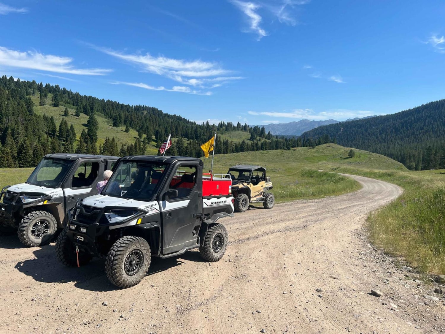
Skyline Mine Spur can be accessed by the following ride types:
- High-Clearance 4x4
- SxS (60")
- ATV (50")
- Dirt Bike
Skyline Mine Spur Map
Popular Trails
West Fork Madison (FS 209)
South Fork Little Joe Creek - FS 221

Cabin Creek Cabin

Cinnamon Trail
The onX Offroad Difference
onX Offroad combines trail photos, descriptions, difficulty ratings, width restrictions, seasonality, and more in a user-friendly interface. Available on all devices, with offline access and full compatibility with CarPlay and Android Auto. Discover what you’re missing today!