Bear Creek FS 504 and 4239
Total Miles
3.6
Technical Rating
Best Time
Summer, Fall
Trail Type
Full-Width Road
Accessible By
Trail Overview
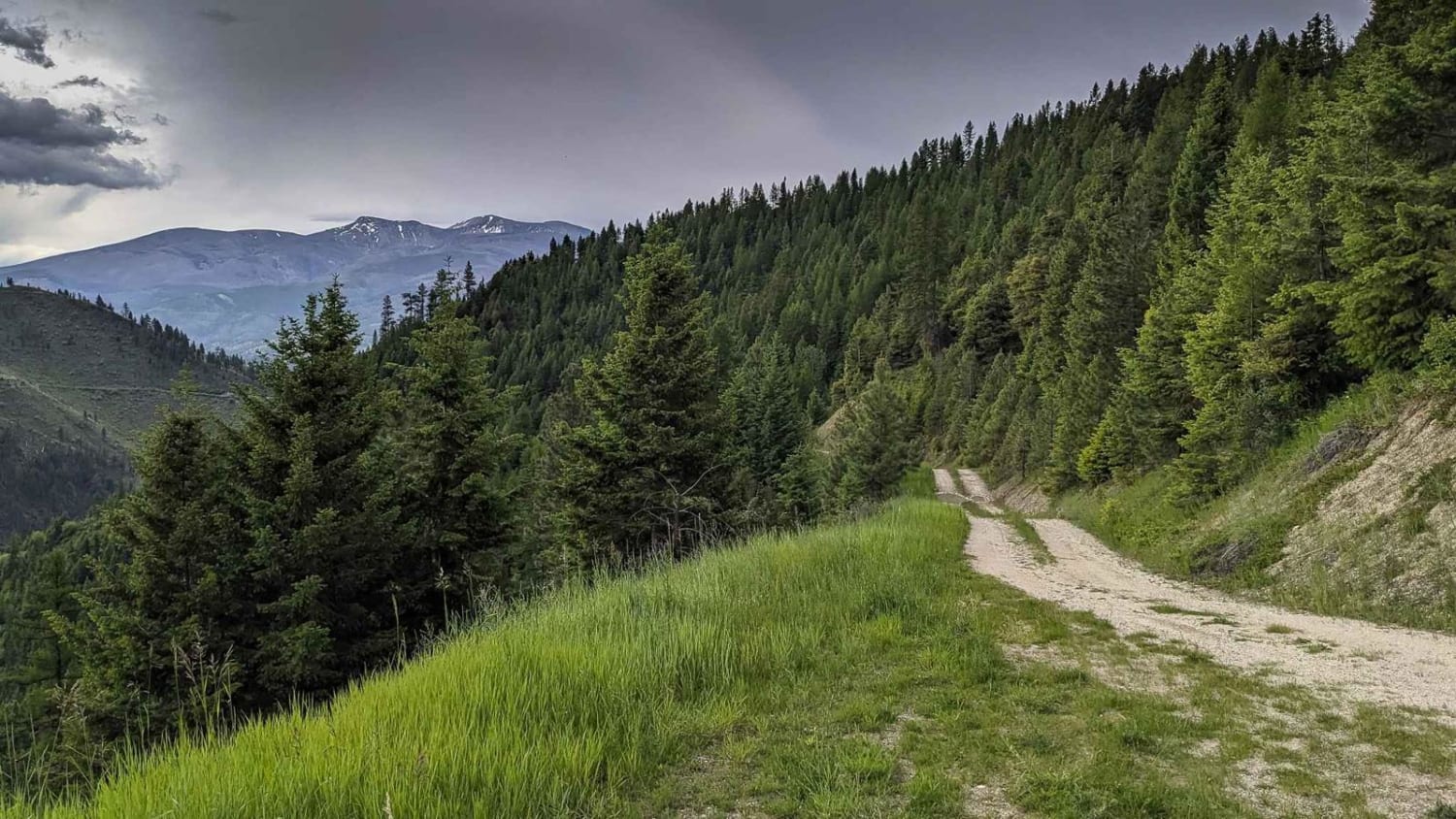
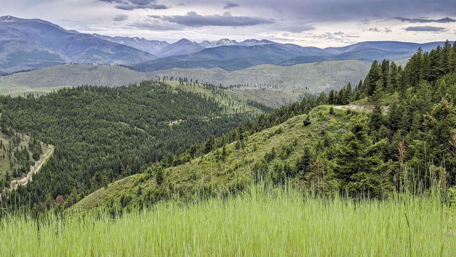
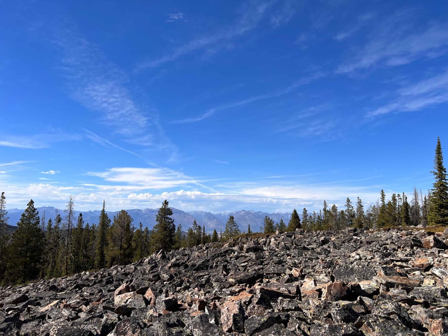
This is an out-and-back route in the Lolo National Forest. The first right-hand turn takes you to a gate just before a bridge that crosses Bear Creek. The left turn takes you up the west side of the drainage above Bear Creek and provides stunning views of the Bitterroot Mountains. There were several fire rings located in pull-offs several miles up the road and there were also a few junctions with other roads.
Photos of Bear Creek FS 504 and 4239
Difficulty
A traveled this route in late June and there were still several large puddles along the way. There are also several ruts from water erosion that were up to a foot deep but easily straddled.
Bear Creek FS 504 and 4239 can be accessed by the following ride types:
- High-Clearance 4x4
- SUV
- SxS (60")
- ATV (50")
- Dirt Bike
Bear Creek FS 504 and 4239 Map
Popular Trails
Minesinger to Hidden Lake Pt. 2

Porcupine - FS 199
Black Bear Point
The onX Offroad Difference
onX Offroad combines trail photos, descriptions, difficulty ratings, width restrictions, seasonality, and more in a user-friendly interface. Available on all devices, with offline access and full compatibility with CarPlay and Android Auto. Discover what you’re missing today!
