Sloan's Bridge to Old Ferry Basin Crossing
Total Miles
29.8
Technical Rating
Best Time
Spring, Summer, Fall
Trail Type
Full-Width Road
Accessible By
Trail Overview
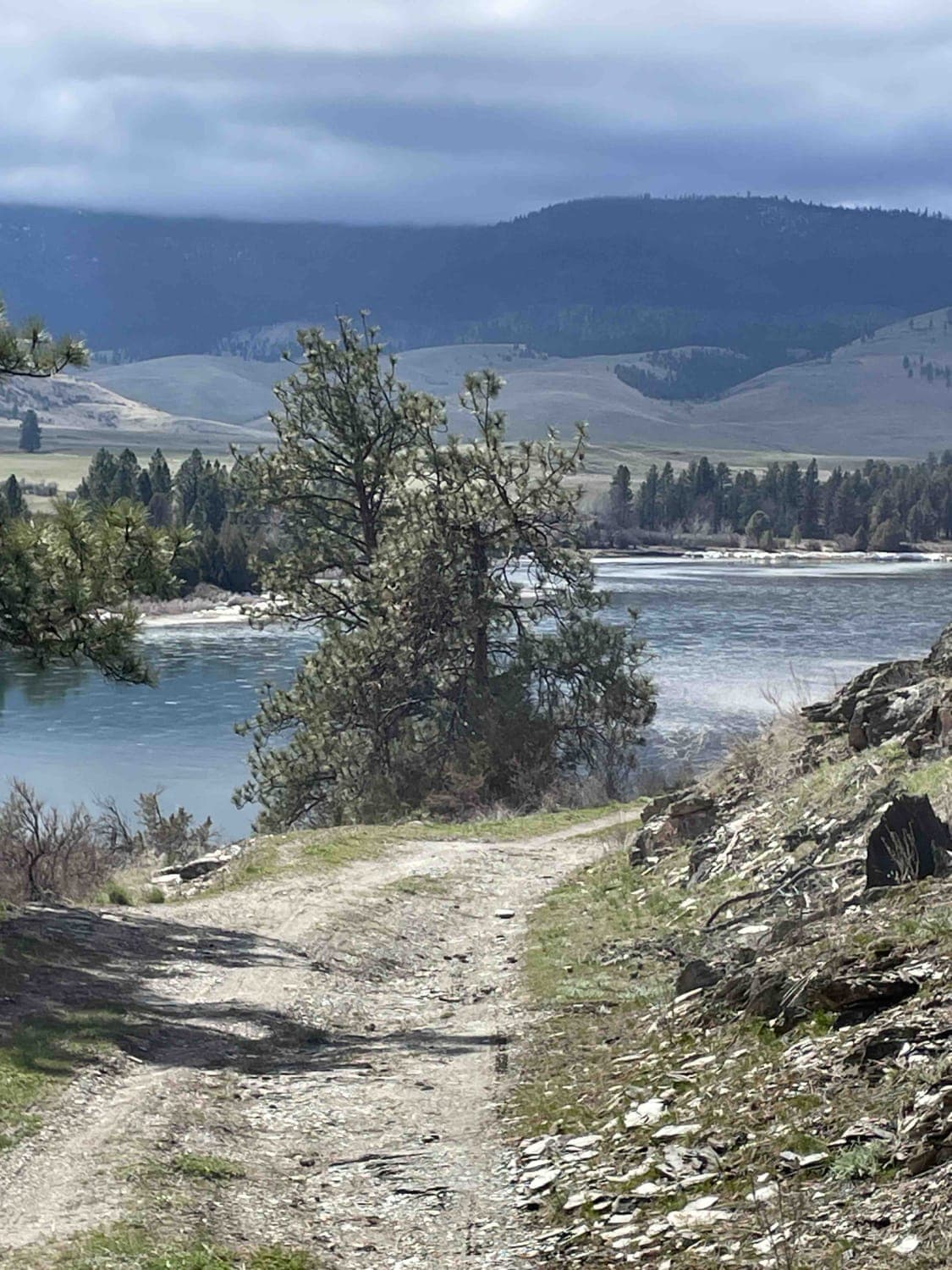
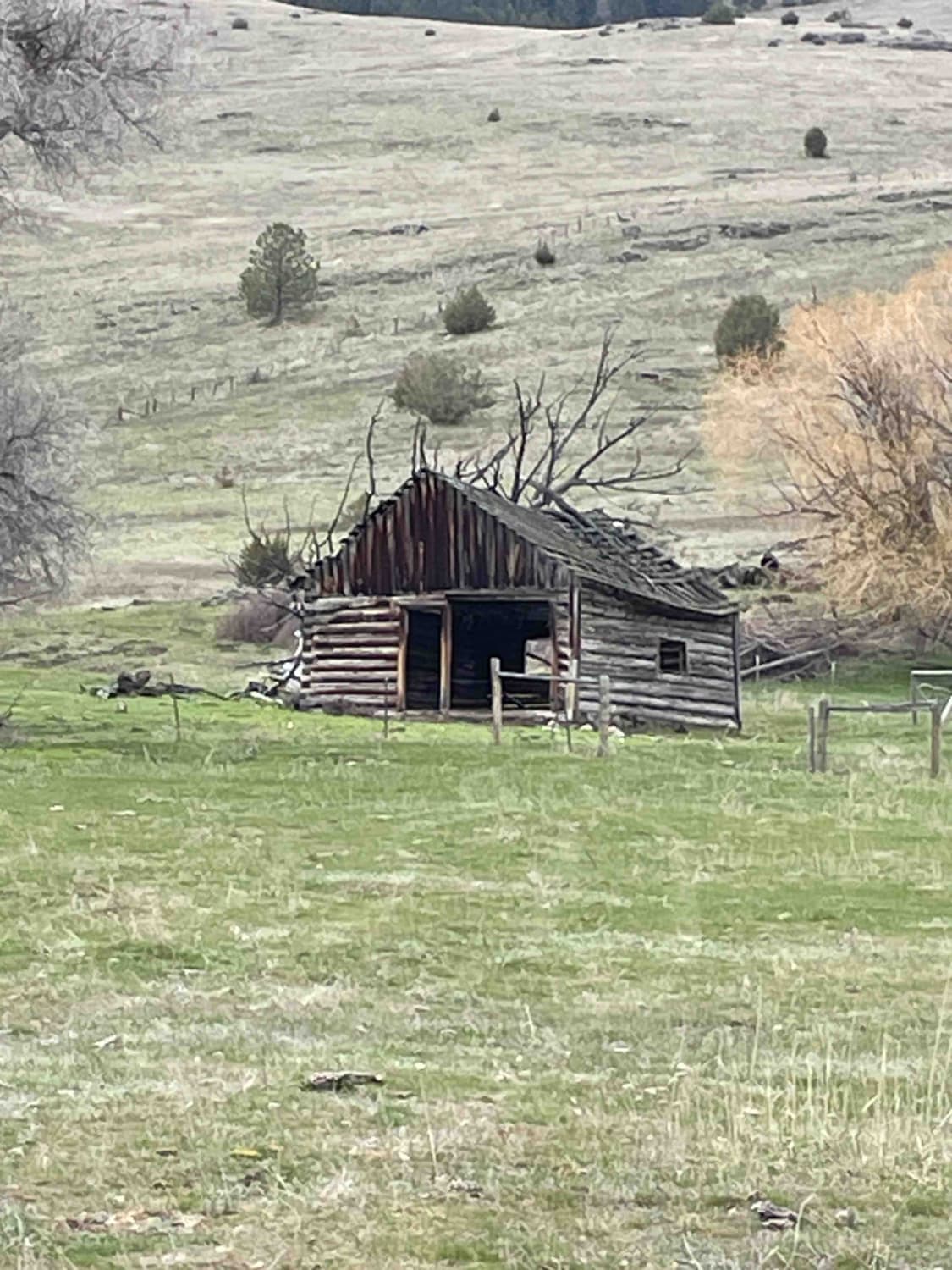
From Sloan's Bridge, you will travel this winding dirt road across numerous cattle guards, potholes, and large ruts. Along the way, you will pass through wide-open rangeland where mules and cows are present. Along the river, you will find some dispersed camping. Continue on and you will see the remains of old buildings, foundations, and corrals. As you gain in elevation, views become much more apparent. Most of the road is easily passable for multiple vehicles. However, there are a few areas that are single-lane along the river where caution is needed. As you approach the end of the road and the old Ferry Basin Crossing, keep an eye out for loose fencing wire laying throughout the fields. Be prepared for this route to dead-end. Although it's about a 3-hour trip, plan to spend all day enjoying some swimming and fishing. This track is 100% on CS&KT tribal lands. Always check their rules and regulations. All recreational activities on tribal-owned lands require a non-member person over the age of 11 to purchase a Tribal Conservation Permit. The website for information is http://csktnrd.org/fwrc/recreation.
Photos of Sloan's Bridge to Old Ferry Basin Crossing
Difficulty
Expect an uneven, rutted dirt trail with loose rocks and sandy washes. Water crossings are less than a foot deep. There's potential for mud holes and small trail obstacles, including ledges and short, steep grades. This road is not maintained. Some areas are one vehicle wide with places to pass if one backs up far enough.
Status Reports
Sloan's Bridge to Old Ferry Basin Crossing can be accessed by the following ride types:
- High-Clearance 4x4
- SUV
- SxS (60")
- ATV (50")
- Dirt Bike
Sloan's Bridge to Old Ferry Basin Crossing Map
Popular Trails
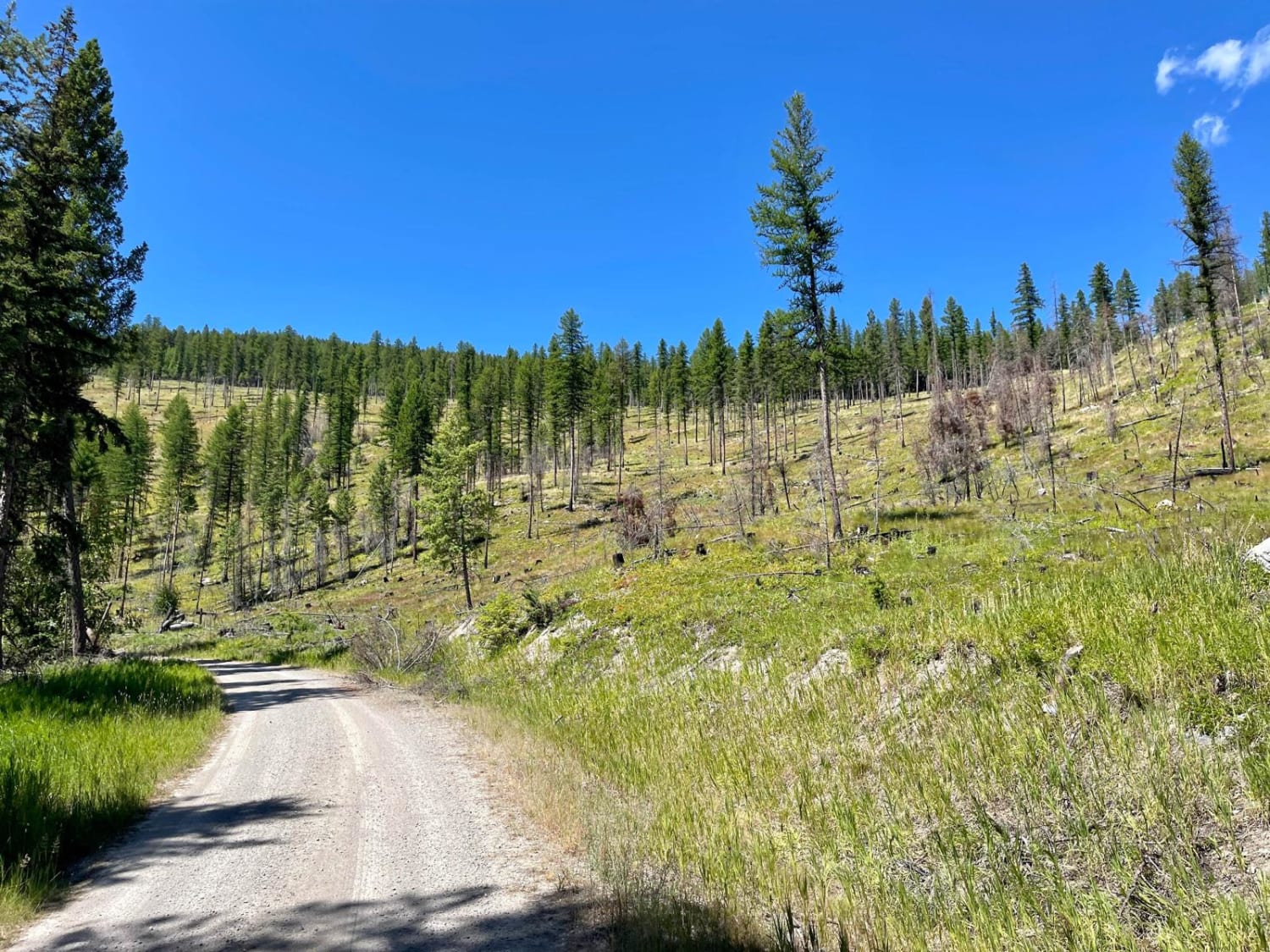
Wild Bill Saddle
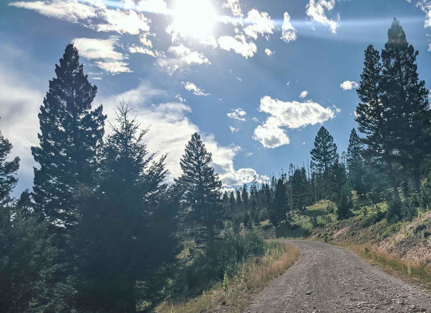
Elliston Spotted Dog
The onX Offroad Difference
onX Offroad combines trail photos, descriptions, difficulty ratings, width restrictions, seasonality, and more in a user-friendly interface. Available on all devices, with offline access and full compatibility with CarPlay and Android Auto. Discover what you’re missing today!
