Oregon Creek
Total Miles
8.0
Technical Rating
Best Time
Fall, Summer, Spring
Trail Type
Full-Width Road
Accessible By
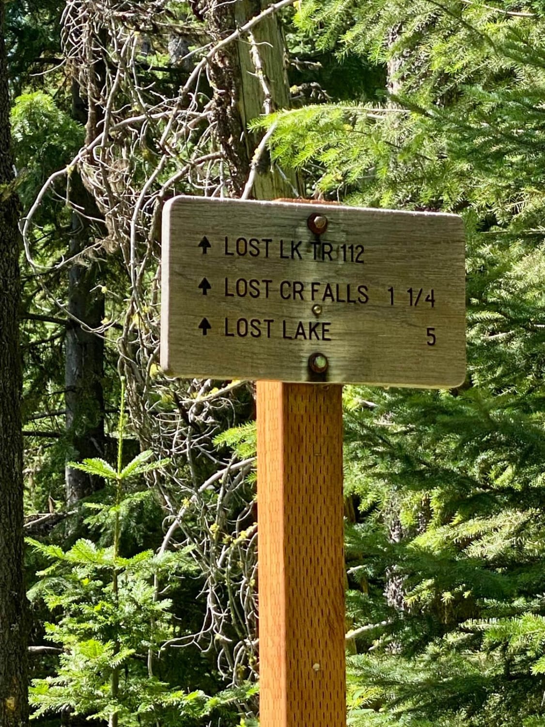
Trail Overview
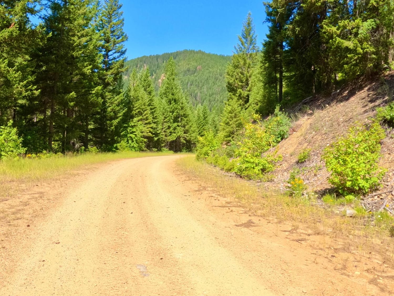
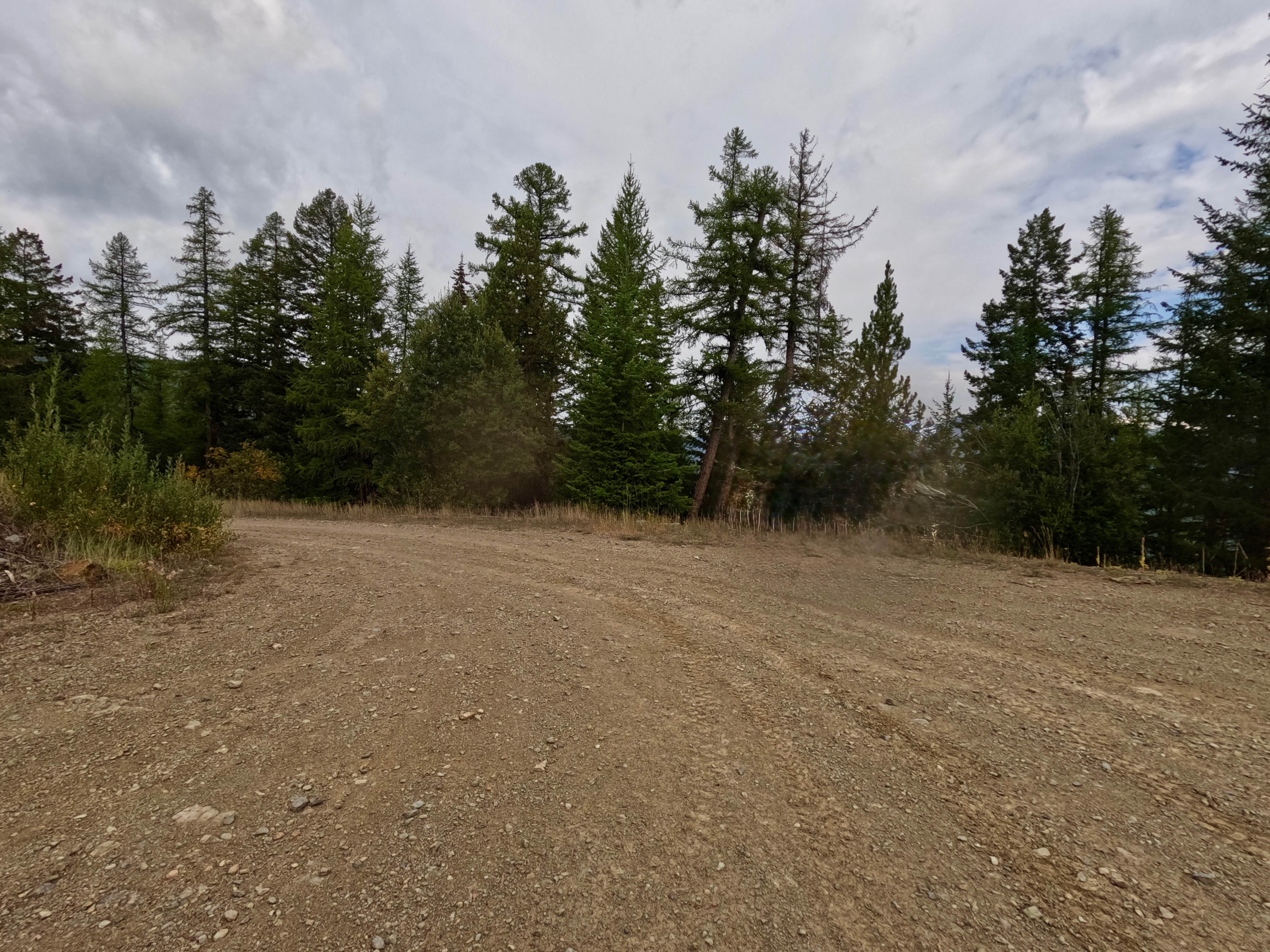
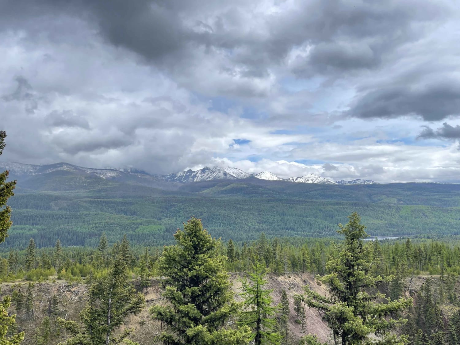
Turning onto Oregon Creek Road from Cedar Creek Road, you will see the route changes from two lanes to one lane. There are plenty of places to pass another vehicle. The route takes you mostly through pine forest, but there are several big groves of cedar along the route. You will begin to see Lost Creek well below your route as you climb to the trailhead. The route will pass through a couple of older mines with equipment and machinery around. The route passes through many areas of loose rock that sometimes might find its way on the roadway. Logging is active in some areas of the route and logging trucks could be encountered.
Photos of Oregon Creek
Difficulty
Cedar Creek Road is a wide gravel packed road that will eventually turn into one lane on this route. There is room to pass another vehicle. There are areas of sharp turns where loose sharp rocks make up the road. Very steep embankments follow part of the route along where the Lost Creek River flows. Dust can be a problem during dry conditions.
Status Reports
Oregon Creek can be accessed by the following ride types:
- High-Clearance 4x4
- SUV
- SxS (60")
- ATV (50")
- Dirt Bike
Oregon Creek Map
Popular Trails
West Side Nine Mile Road

Fairy Creek - FS 500
Richmond Marshall Hookup Trail

West Fork of Swamp Creek
The onX Offroad Difference
onX Offroad combines trail photos, descriptions, difficulty ratings, width restrictions, seasonality, and more in a user-friendly interface. Available on all devices, with offline access and full compatibility with CarPlay and Android Auto. Discover what you’re missing today!