Ratio Mountain Majesty Loop
Total Miles
2.7
Technical Rating
Best Time
Spring, Summer, Fall
Trail Type
High-Clearance 4x4 Trail
Accessible By
Trail Overview
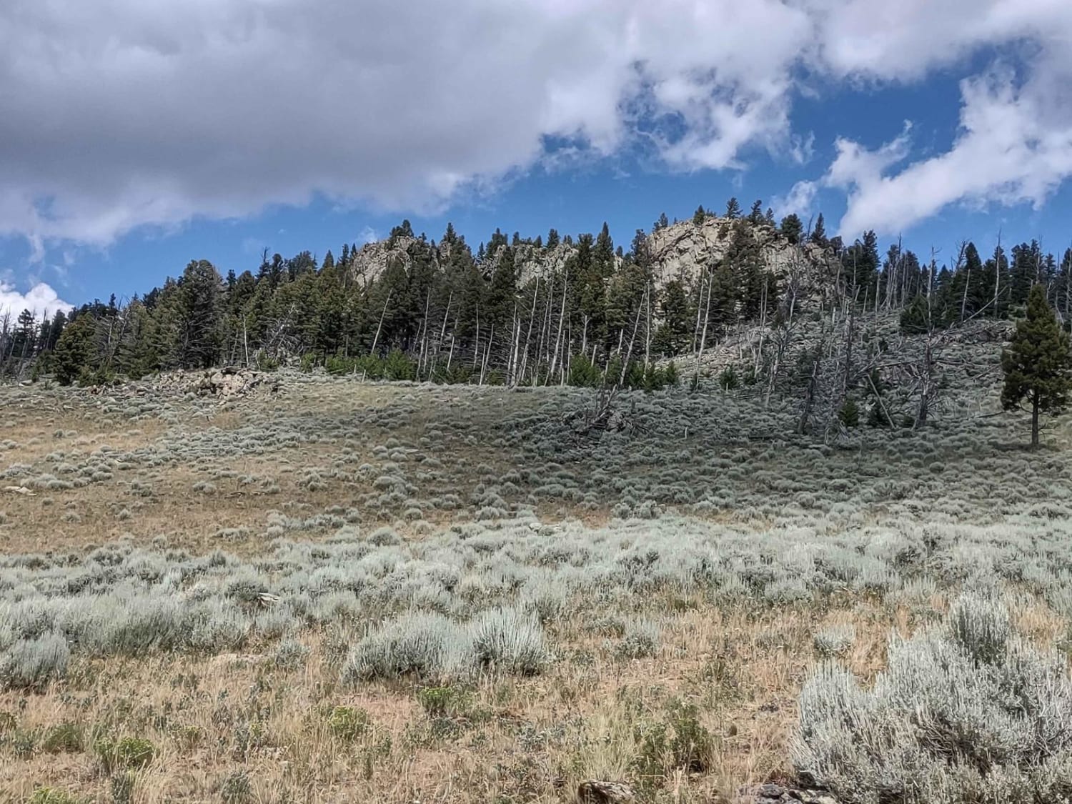
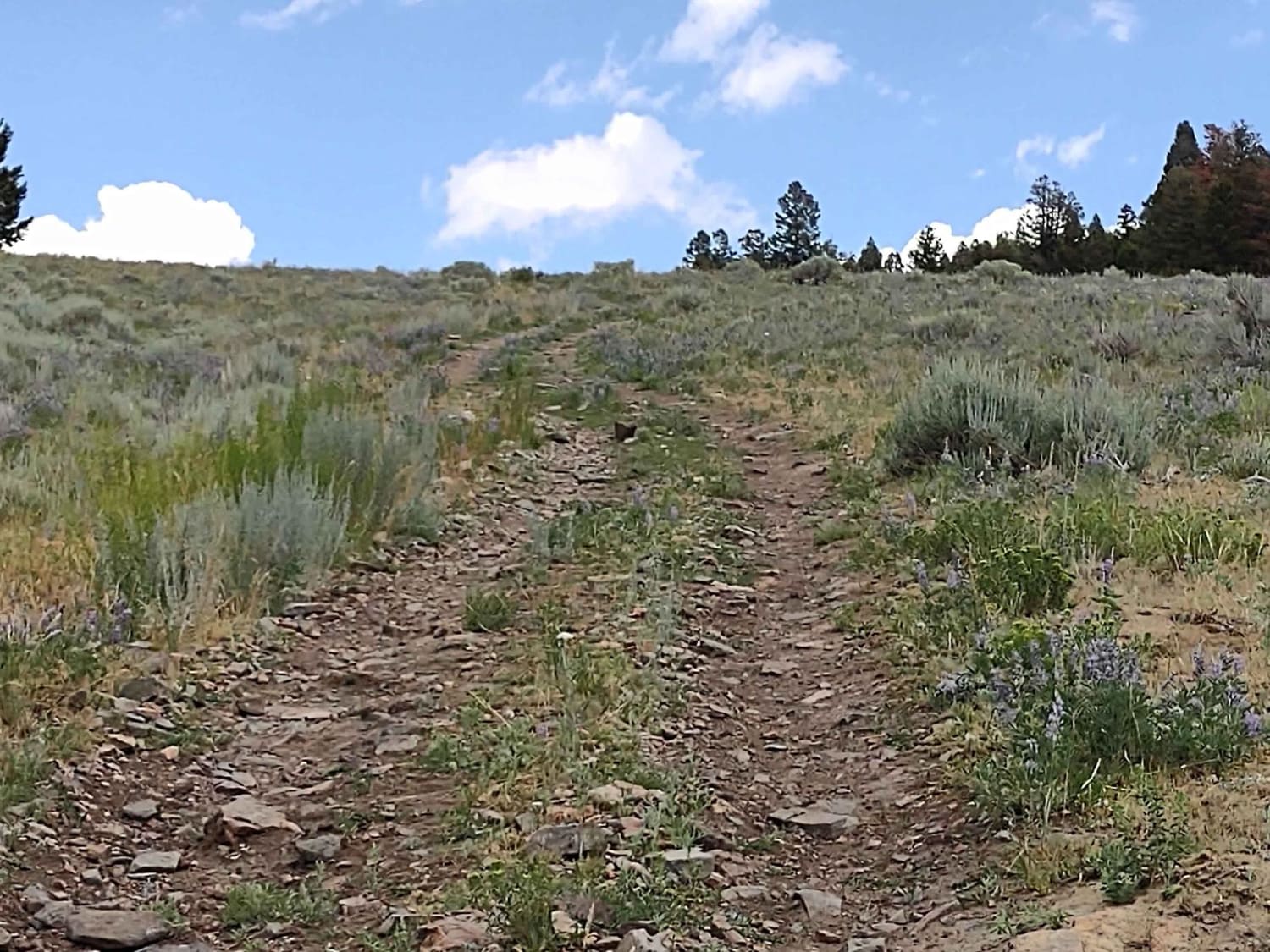
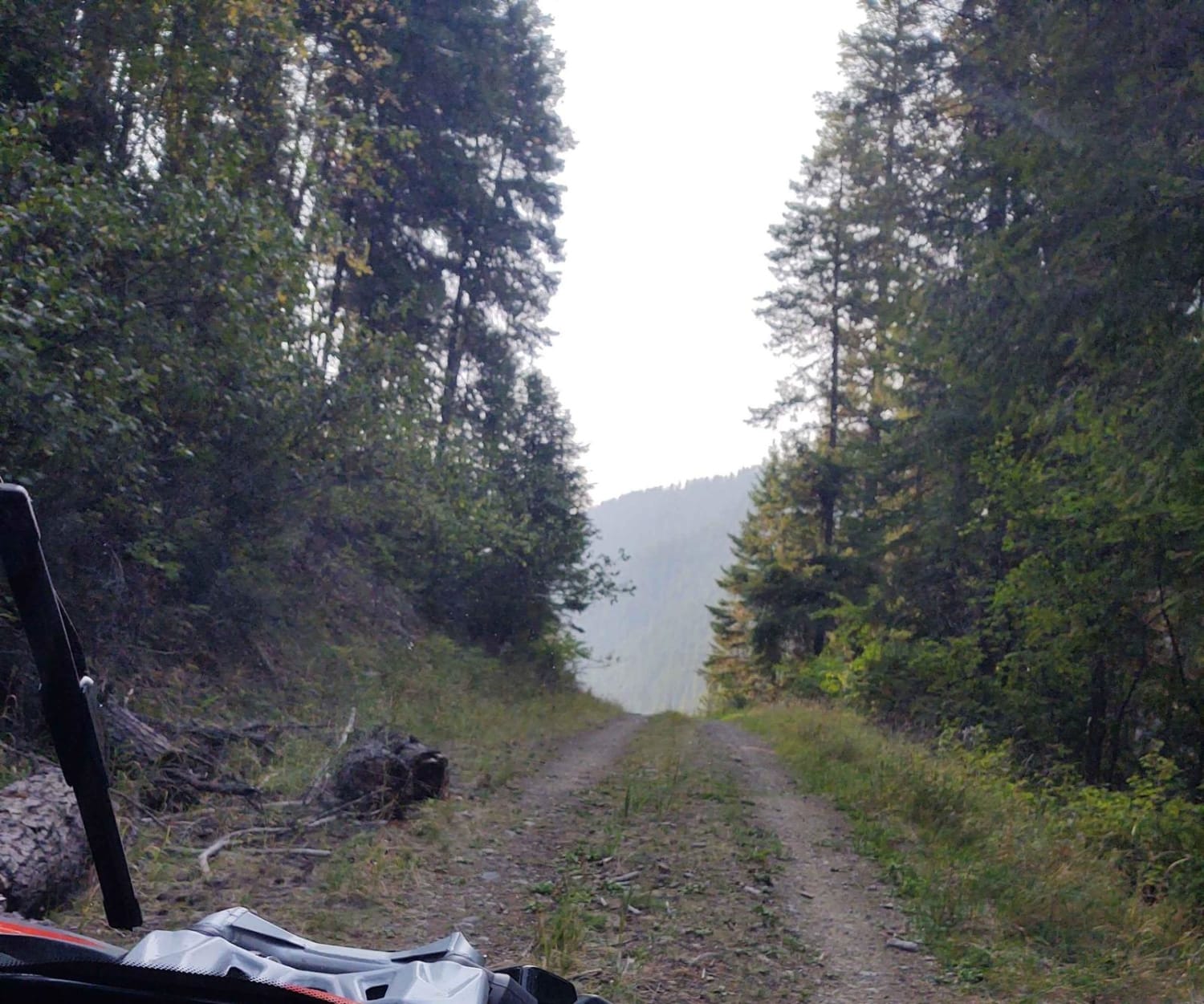
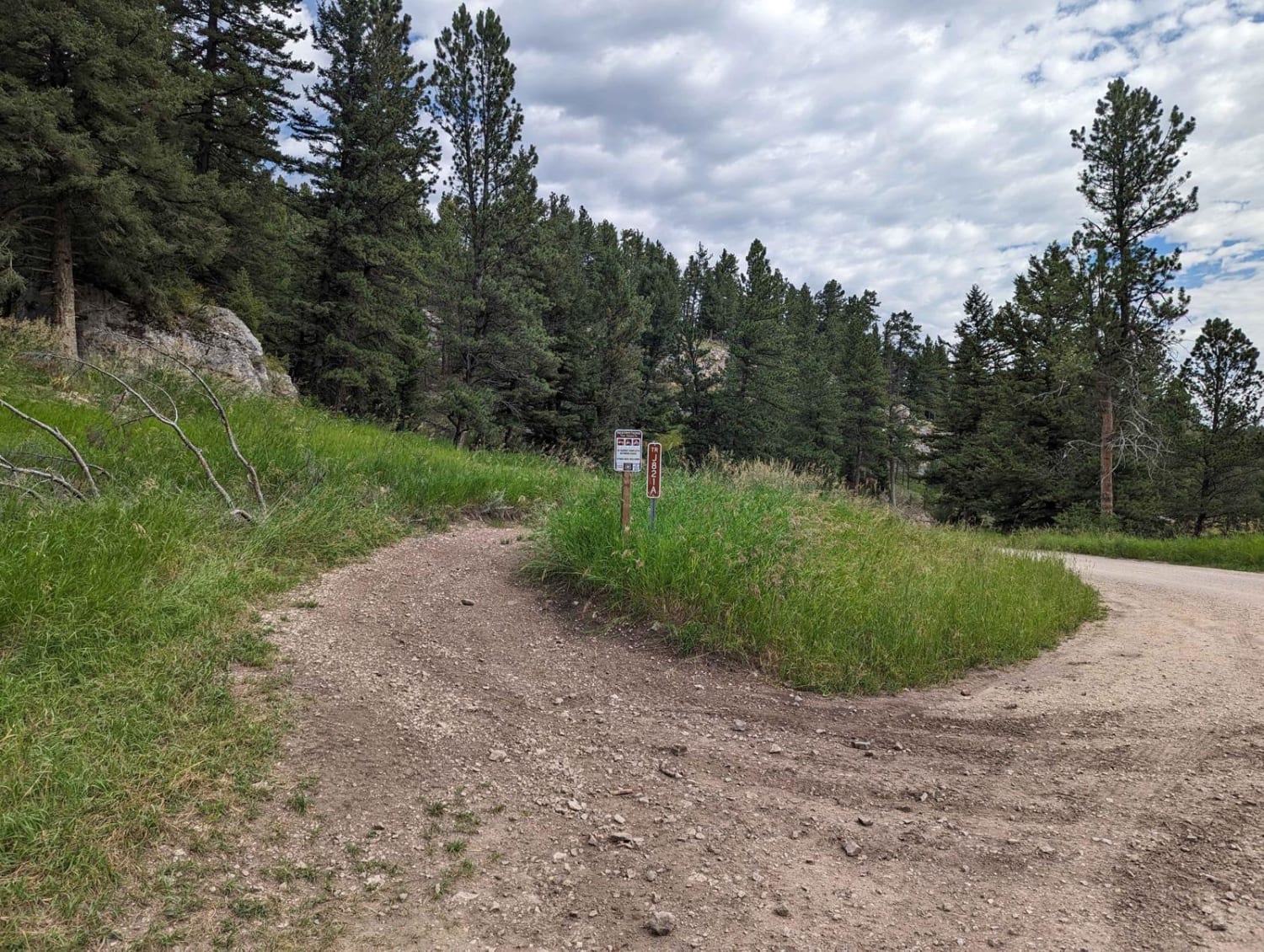
This trail is 2.7 miles long and gains 1400 feet in elevation, most of it on the first rocky hill. You loop completely around Ratio Mountain (7175 feet high), with beautiful views into the Whitehall Basin. The upper part of the trail crosses meadows and forests. After the initial incline, the trail is easy/moderate.From Highway 69 in Boulder, MT, take Whitetail Road (399) south towards Whitehall, MT. Turn left (west) on Hay Canyon Road. At the first Y in the trail, stay left on Mountain Queen Trail, also called Ringing Rocks Trail. Ringing Rocks Trail connects you to this loop.
Photos of Ratio Mountain Majesty Loop
Difficulty
There are no water crossings on this trail, but it's VERY steep and rocky on the initial incline. Once you reach 7200 feet it levels off into high country meadows and forests. It's a very rocky trail, but not very technical.
Status Reports
Ratio Mountain Majesty Loop can be accessed by the following ride types:
- High-Clearance 4x4
- SxS (60")
- ATV (50")
- Dirt Bike
Ratio Mountain Majesty Loop Map
Popular Trails
Flatiron Ridge
Ettien Ridge Connector

Whits Lake Trail

Coal Creek ATV/UTV
The onX Offroad Difference
onX Offroad combines trail photos, descriptions, difficulty ratings, width restrictions, seasonality, and more in a user-friendly interface. Available on all devices, with offline access and full compatibility with CarPlay and Android Auto. Discover what you’re missing today!