Cougar Peak
Total Miles
15.9
Technical Rating
Best Time
Fall, Summer, Spring
Trail Type
High-Clearance 4x4 Trail
Accessible By
Trail Overview
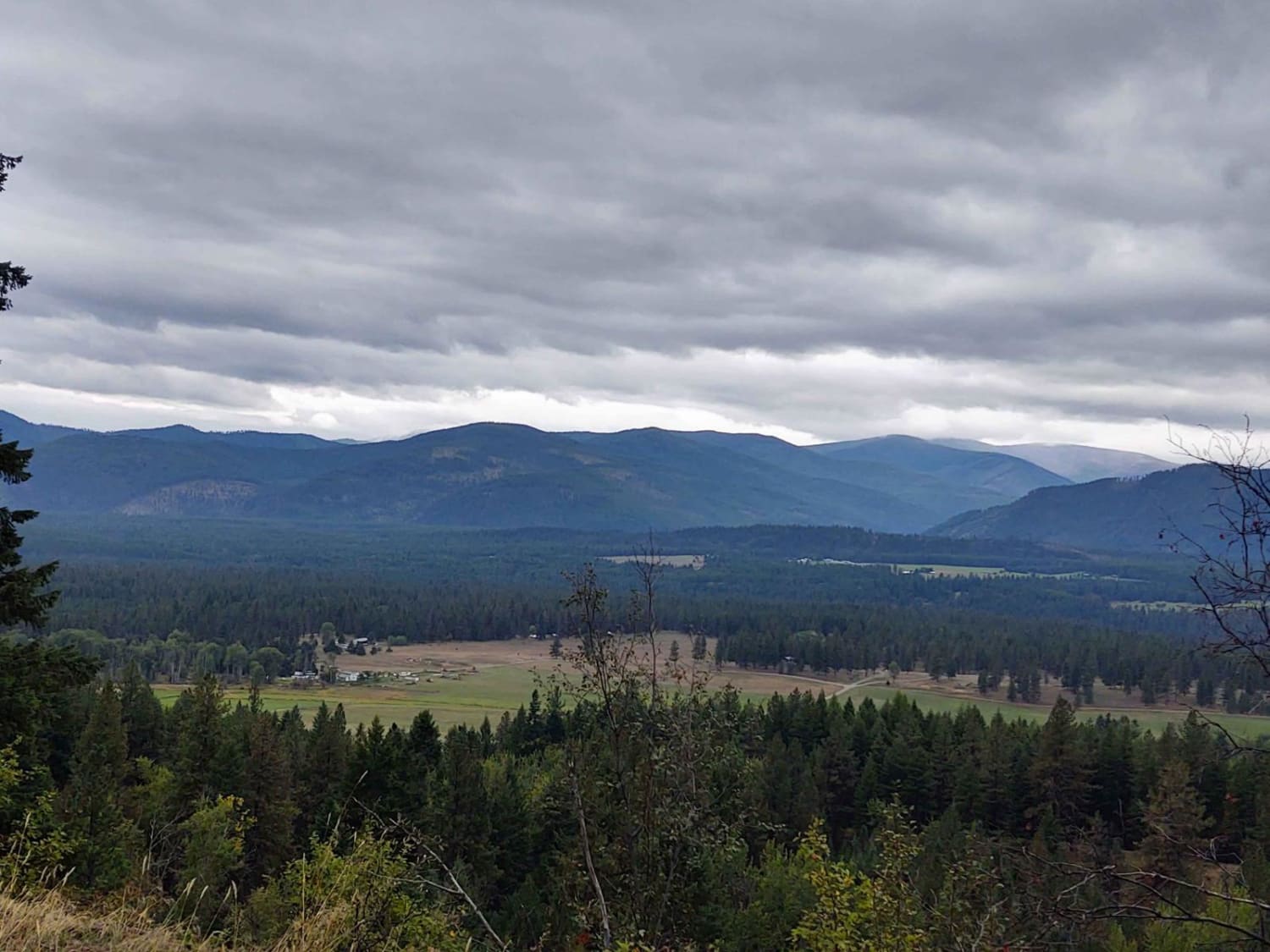
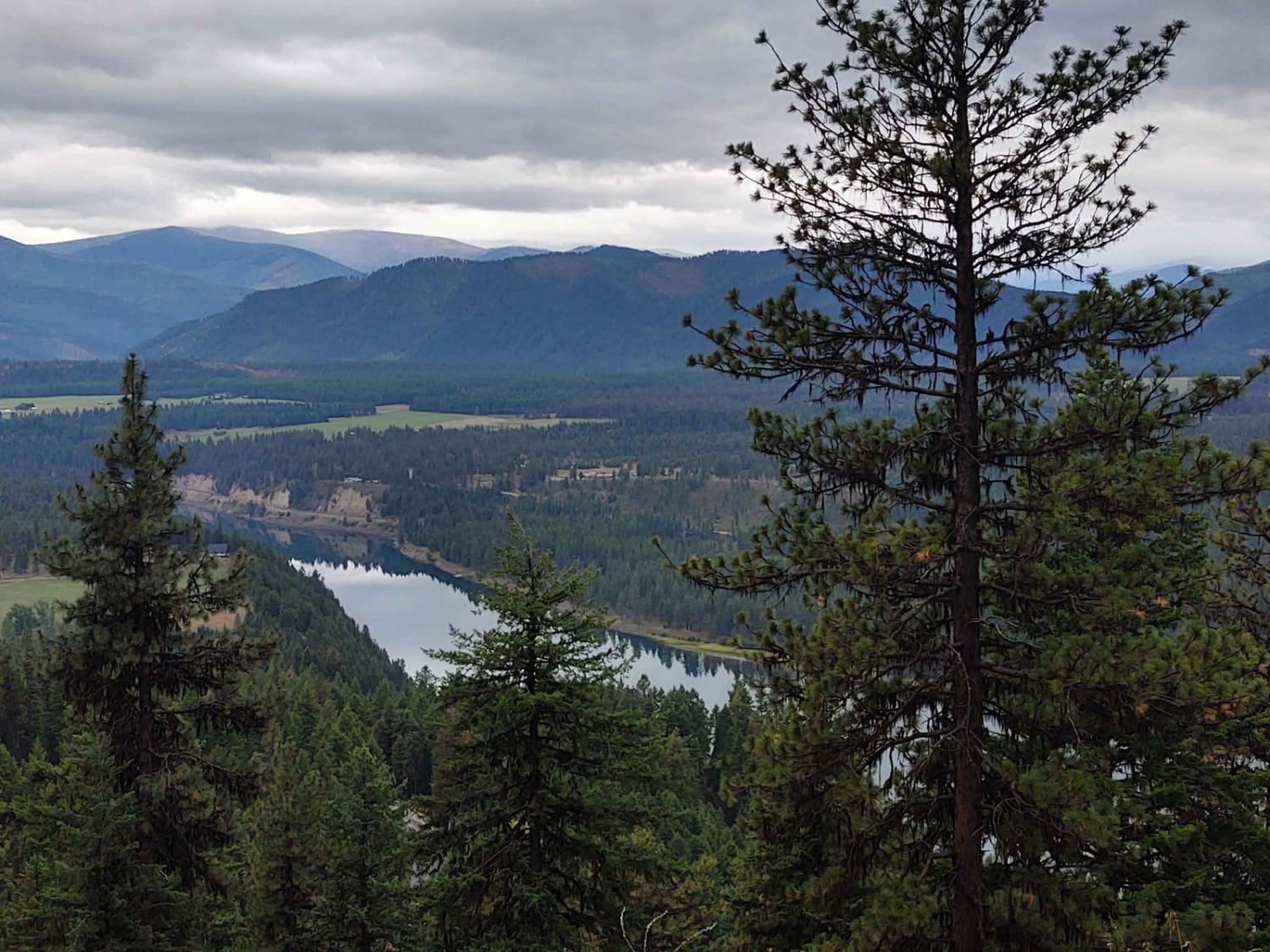
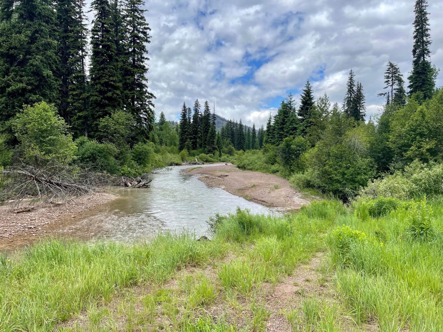
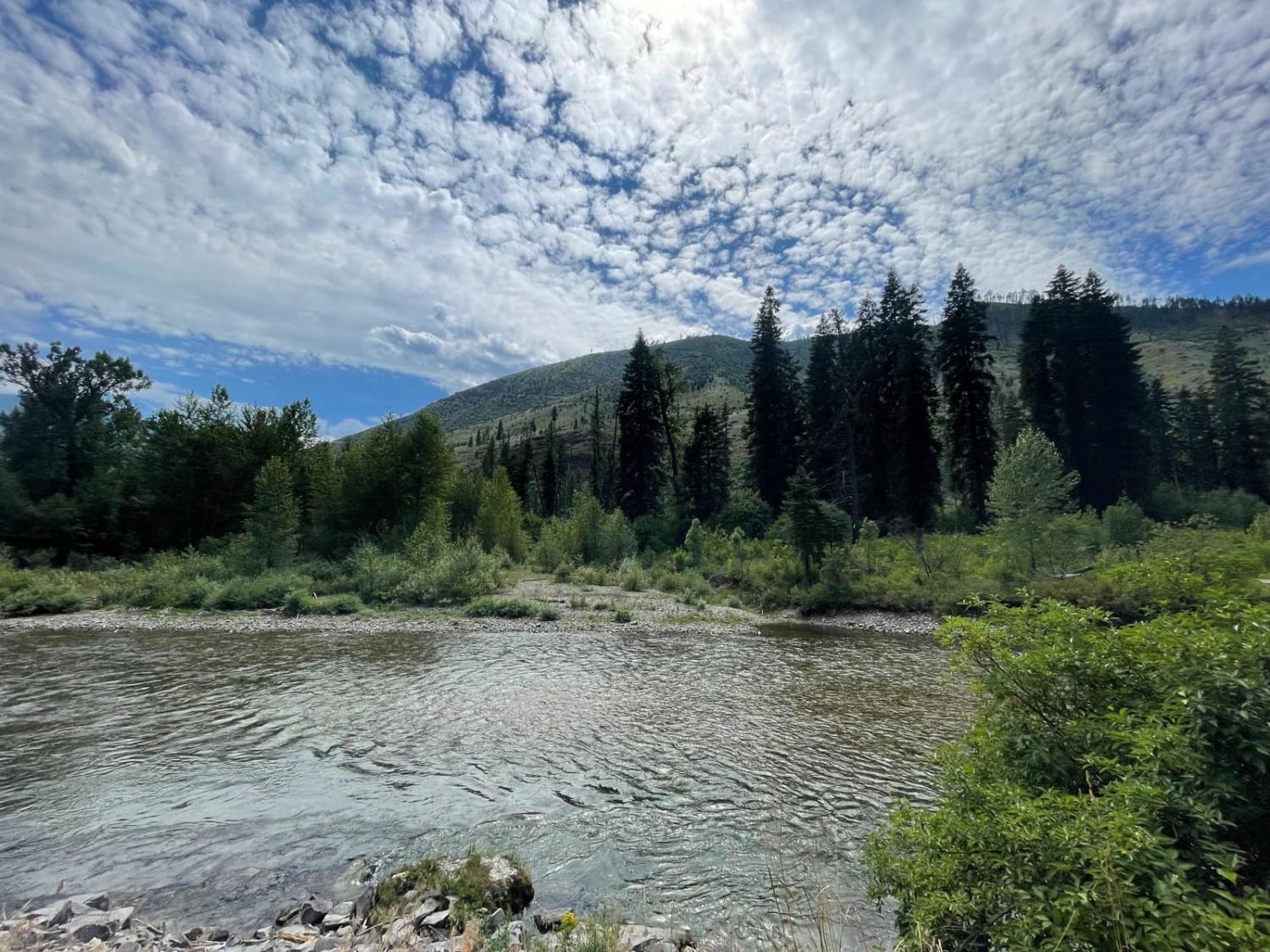
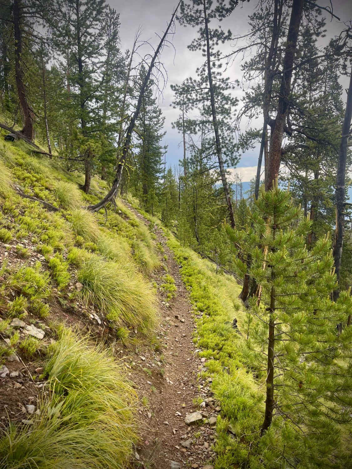
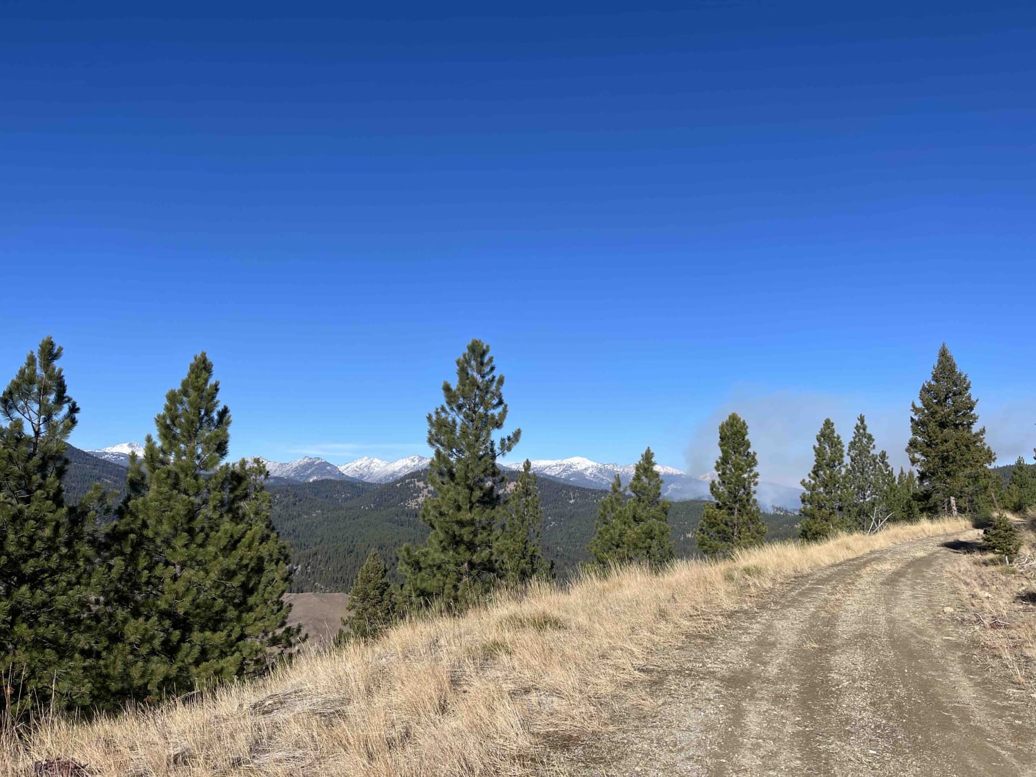
This trail zigzags from the valley floor at 2607 feet to over 6100 feet in the Lolo National Forest towards Cougar Peak. A fire in the area the day we rode stopped us from getting all the way up, but if you can go beyond our trail, it will take you right to Cougar Peak. All private property crossings are allowed if you stay on the trail. The trails up the mountains in areas are steep and twisting turns. Beware of logging trucks in this area. There is room to let another vehicle pass on some of the corners. The scenery is spectacular, the forest is healthy and well-maintained, and the wildlife includes wild turkeys, deer, elk, moose, and black and grizzly bears. You may encounter some downed timber in some places, so carrying a saw, a snatch block, as well as a tow rope, and other recovery equipment, is a good idea. Take extra fuel, lots of water, and snacks. And we don't ever ride without at least one firearm.
Photos of Cougar Peak
Difficulty
This trail may be muddy in the early spring, or you may encounter snow, and it will be muddy after a heavy rain. Otherwise, it's an easy trail with beautiful scenery.
Status Reports
Cougar Peak can be accessed by the following ride types:
- High-Clearance 4x4
- SxS (60")
- ATV (50")
- Dirt Bike
Cougar Peak Map
Popular Trails
Divide NRT (Ditch Creek to Twin Creek Ridge)
Blue Joint Coal Creek Ridge
The onX Offroad Difference
onX Offroad combines trail photos, descriptions, difficulty ratings, width restrictions, seasonality, and more in a user-friendly interface. Available on all devices, with offline access and full compatibility with CarPlay and Android Auto. Discover what you’re missing today!
