Reanus Cone Trail Part 1
Total Miles
4.5
Technical Rating
Best Time
Spring, Summer, Fall
Trail Type
Full-Width Road
Accessible By
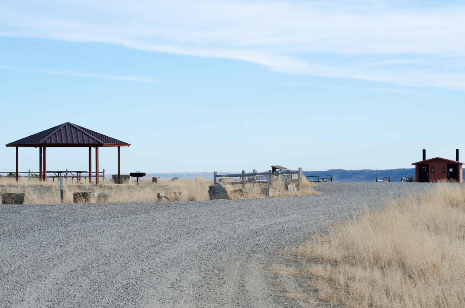
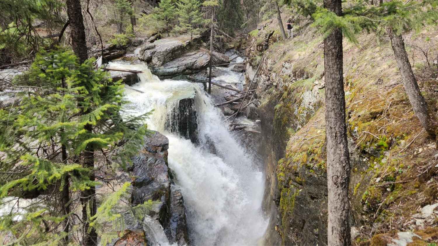
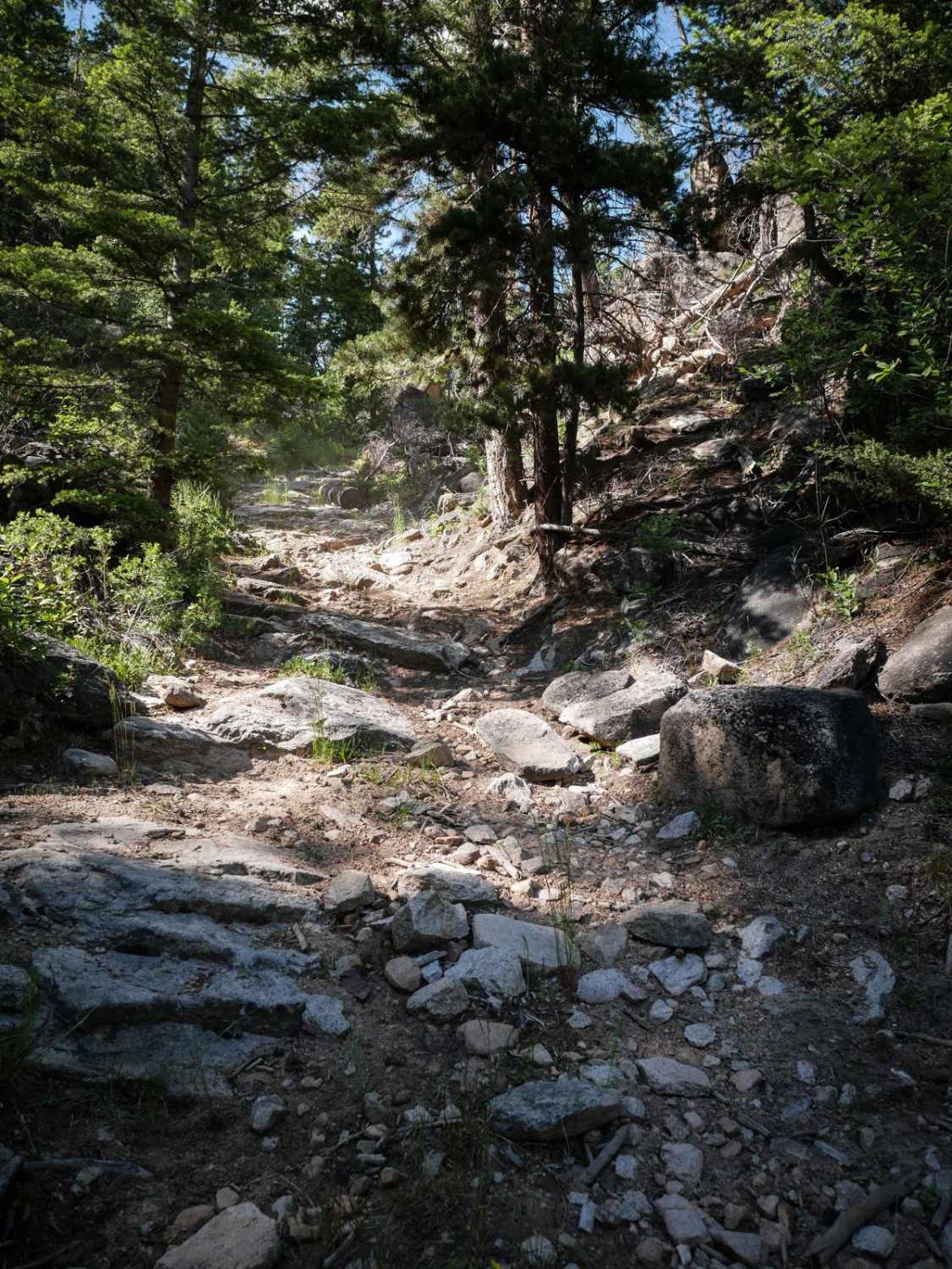
Trail Overview
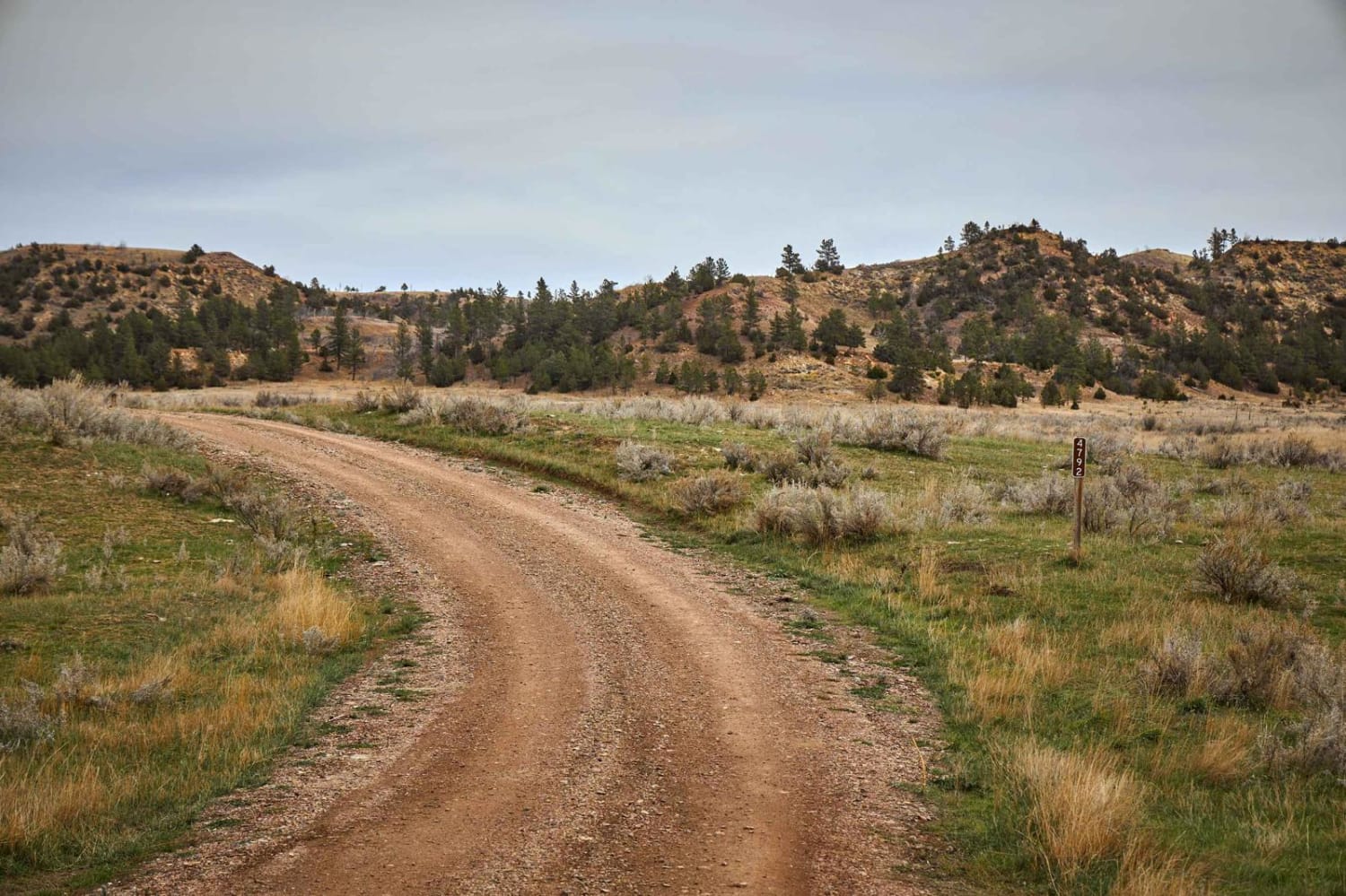
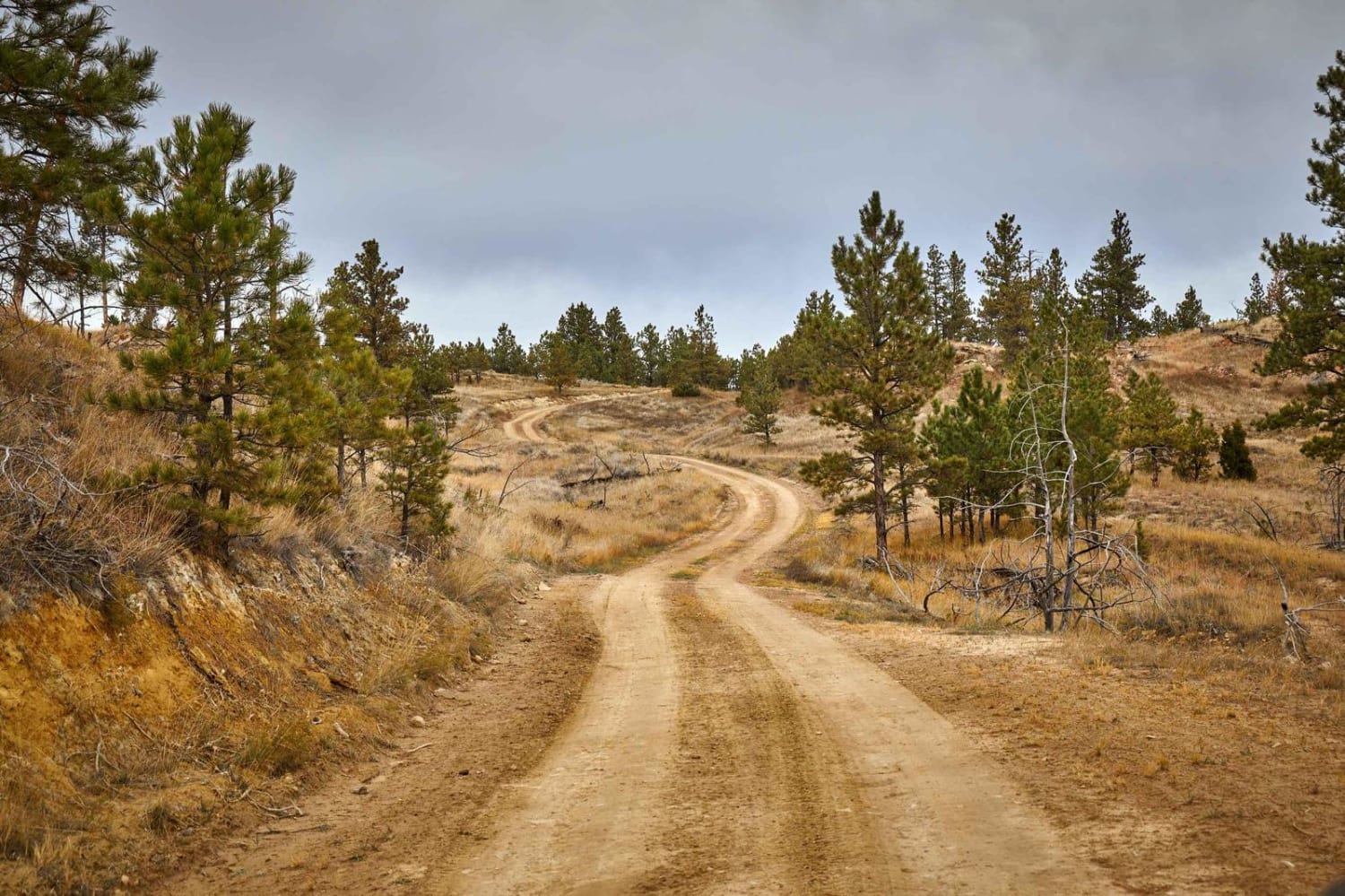
The Reanus Cone Trails are winding single tracks that lead through the mixed pine of the Custer National Forest to a couple of immense meadows. In these high meadows, you might see wild turkeys, a prairie dog or two, and mule deer along your way. This relaxing drive has a few mud holes, but no obstacles over 12 inches. At the summit, you'll pass the Reanus Cone, a cone-shaped geological feature, with beautiful views in every direction.
Photos of Reanus Cone Trail Part 1
Difficulty
This is a dirt or rocky road, typically unmaintained after rain or snow.
History
The Reanus Cone is a geological feature in Powder River County, Montana, with an elevation of 4,035 feet above sea level.
Status Reports
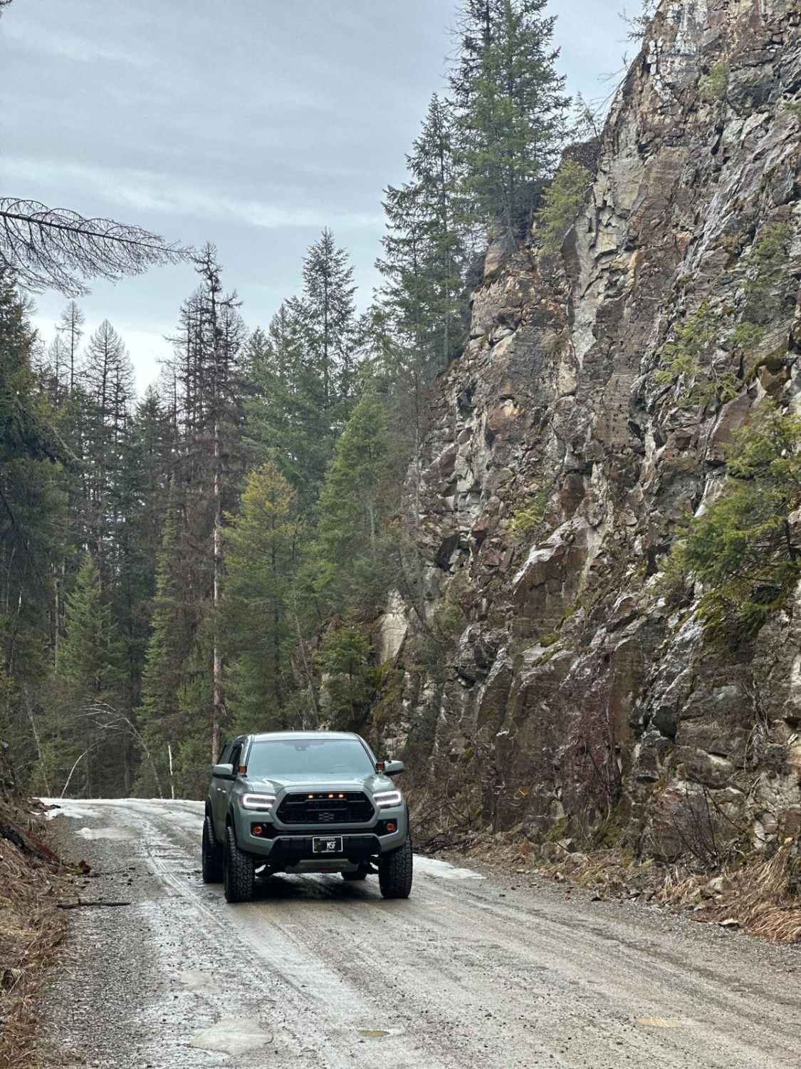
Reanus Cone Trail Part 1 can be accessed by the following ride types:
- High-Clearance 4x4
- SUV
- SxS (60")
- ATV (50")
- Dirt Bike
Reanus Cone Trail Part 1 Map
Popular Trails
Acton Recreation Area
Pinkham Falls Route
The onX Offroad Difference
onX Offroad combines trail photos, descriptions, difficulty ratings, width restrictions, seasonality, and more in a user-friendly interface. Available on all devices, with offline access and full compatibility with CarPlay and Android Auto. Discover what you’re missing today!