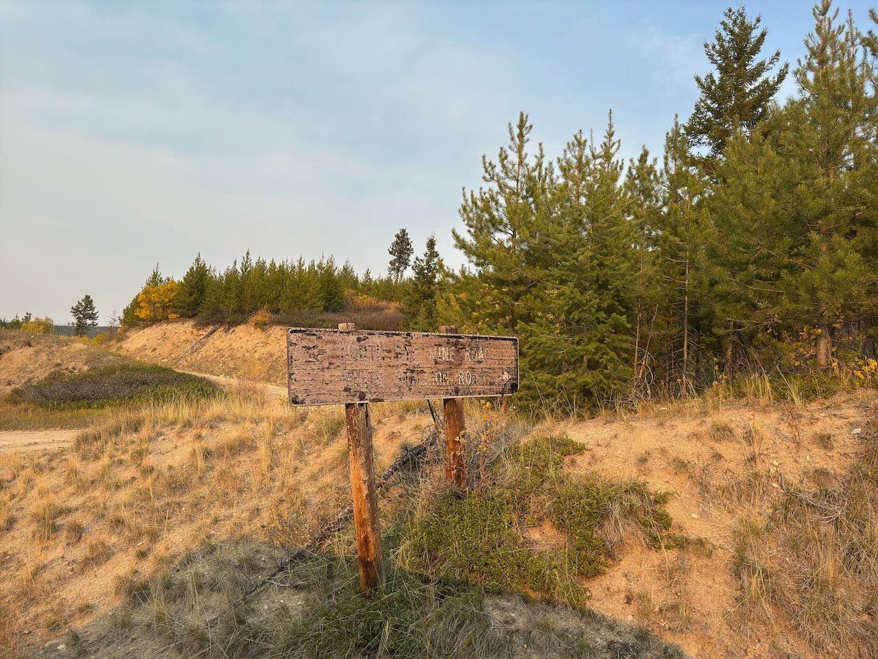
North Fork Howard Trailhead
Total Miles
0.8
Technical Rating
Best Time
Summer, Spring, Fall
Trail Type
Full-Width Road
Accessible By
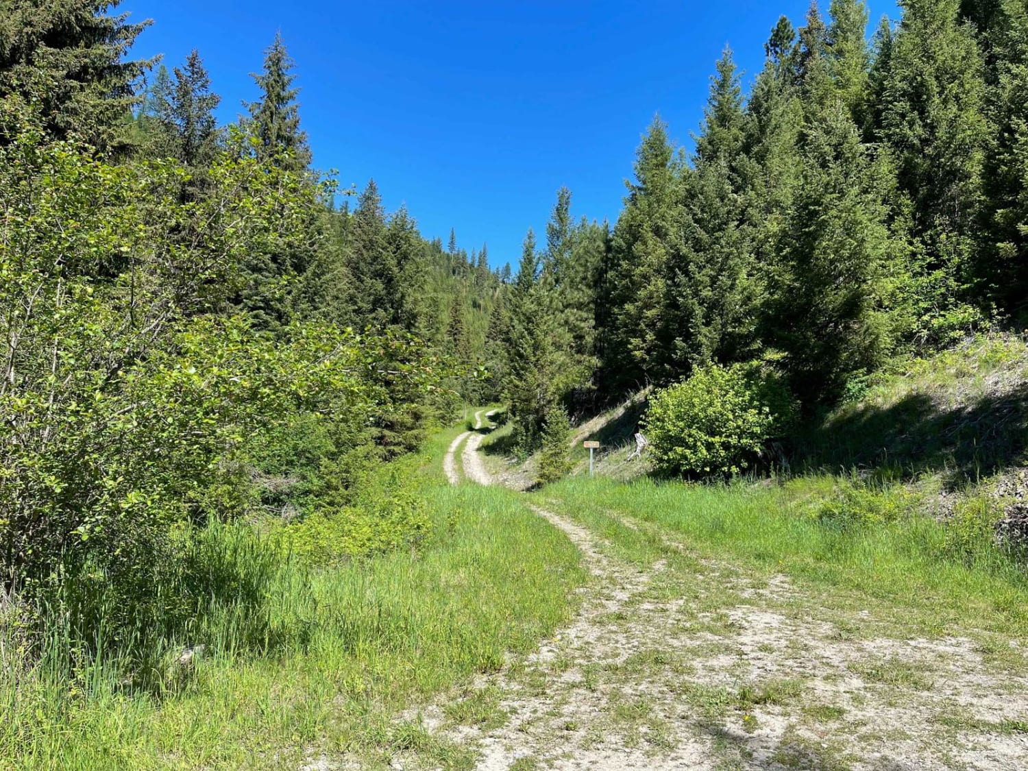
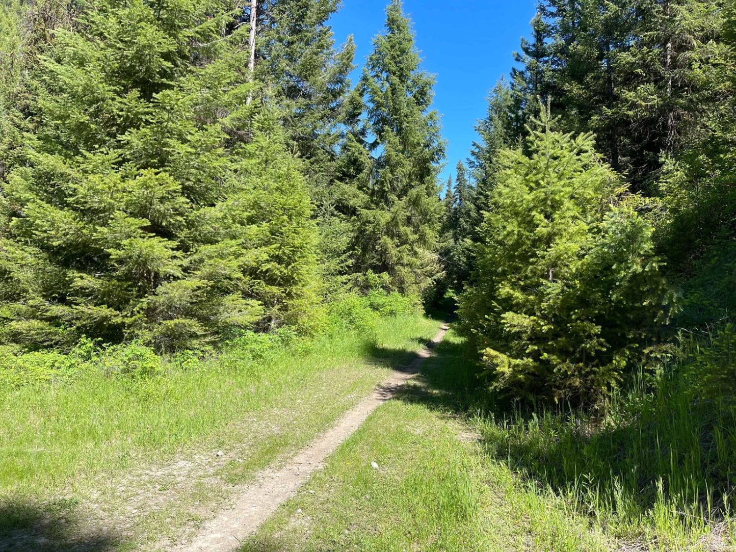
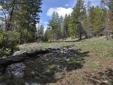
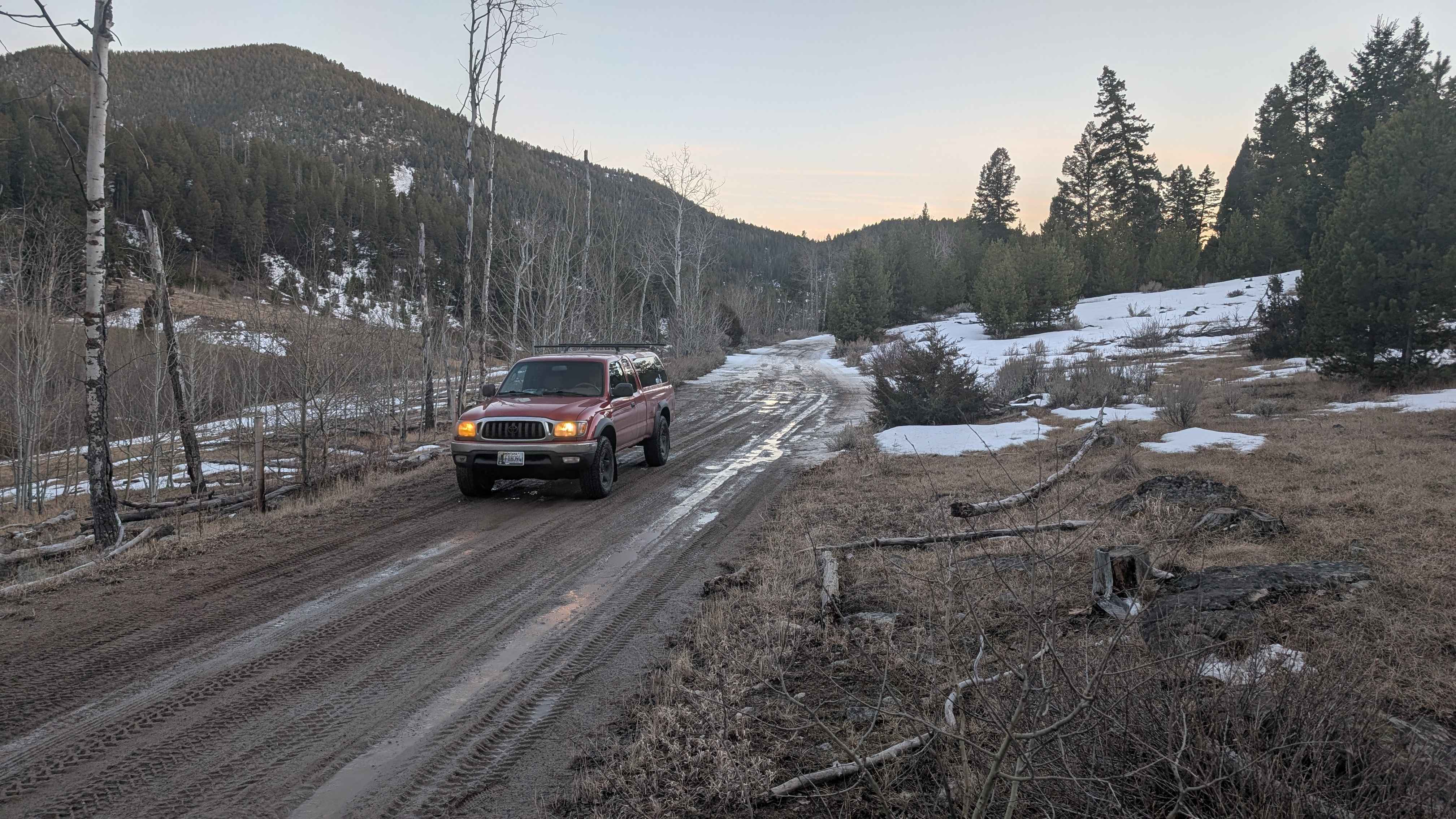
Trail Overview
This bumpy two-track trail leads to the single-track hiking/moto trailhead for the Northfork Howard trail. While it begins as a wider trail, it narrows quickly, and there is one narrow spot to turn a rig around with a fire ring at the end. From this spot, the trail becomes a single-track hiking/moto trail--overall, it's easy with some narrow trees. There is no cell service.
Photos of North Fork Howard Trailhead
Difficulty
Mostly easy two-track with places to pull out and backup for oncoming traffic to get by.
North Fork Howard Trailhead can be accessed by the following ride types:
- High-Clearance 4x4
- SUV
- SxS (60")
- ATV (50")
- Dirt Bike
North Fork Howard Trailhead Map
Popular Trails
Hubbart Dam Rd
Merrel Springs
The onX Offroad Difference
onX Offroad combines trail photos, descriptions, difficulty ratings, width restrictions, seasonality, and more in a user-friendly interface. Available on all devices, with offline access and full compatibility with CarPlay and Android Auto. Discover what you’re missing today!