North Beaver Creek
Total Miles
2.8
Technical Rating
Best Time
Spring, Summer, Fall
Trail Type
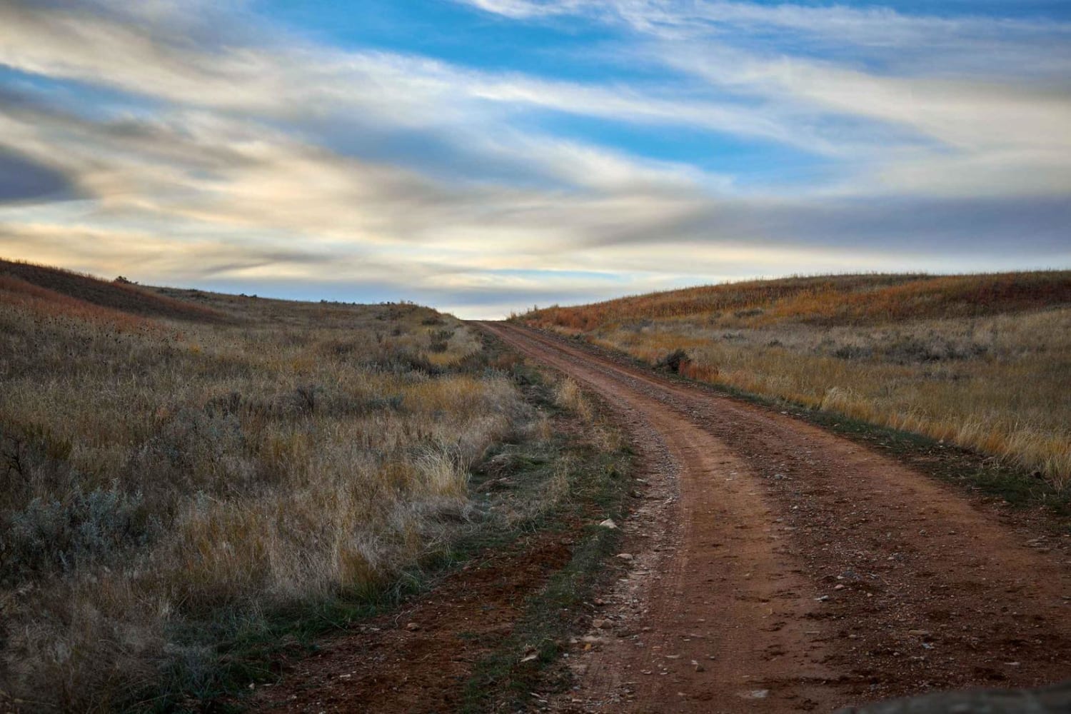
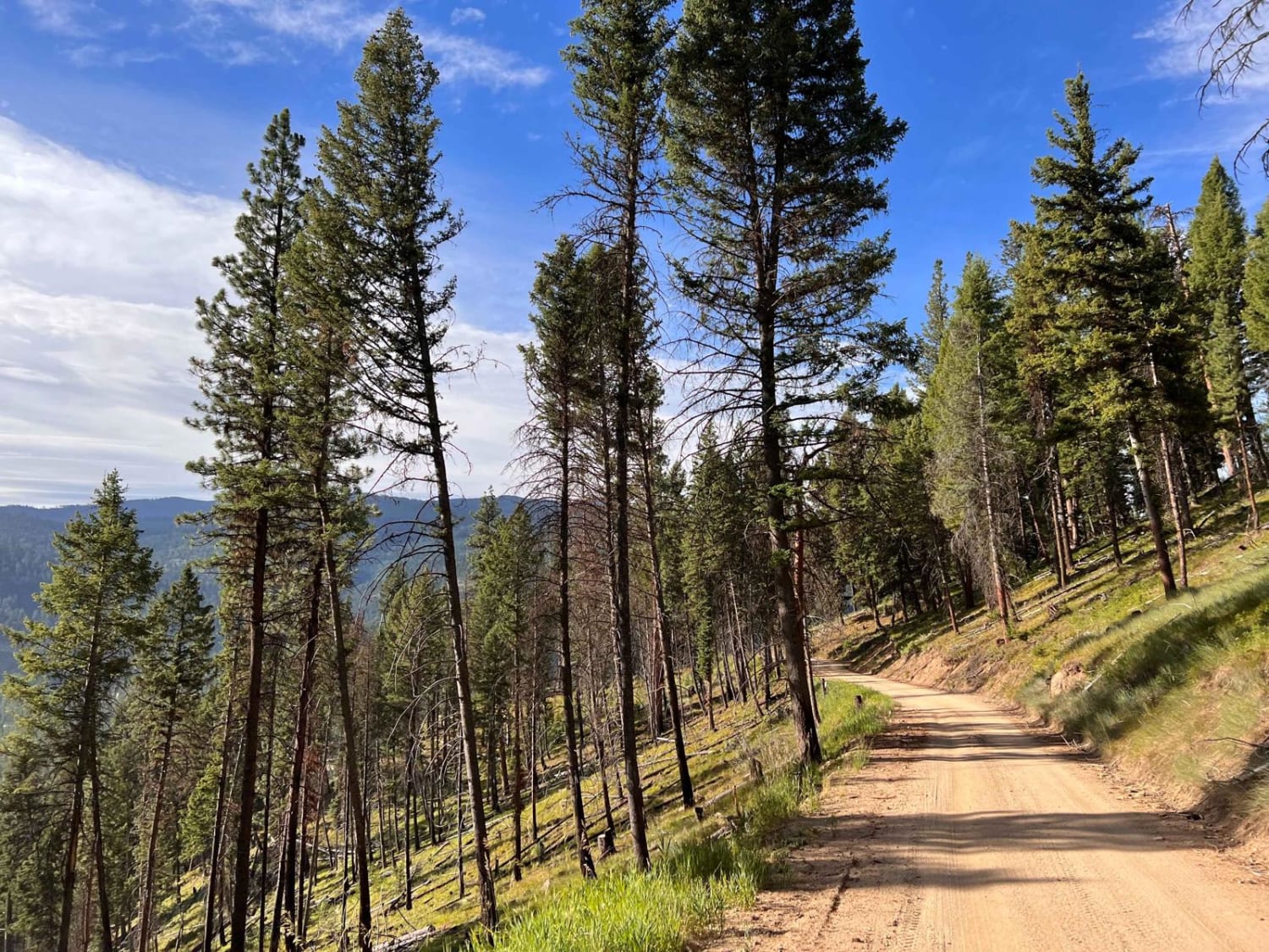
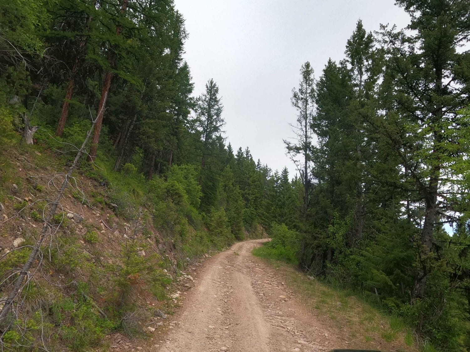
Full-Width Road
Accessible By
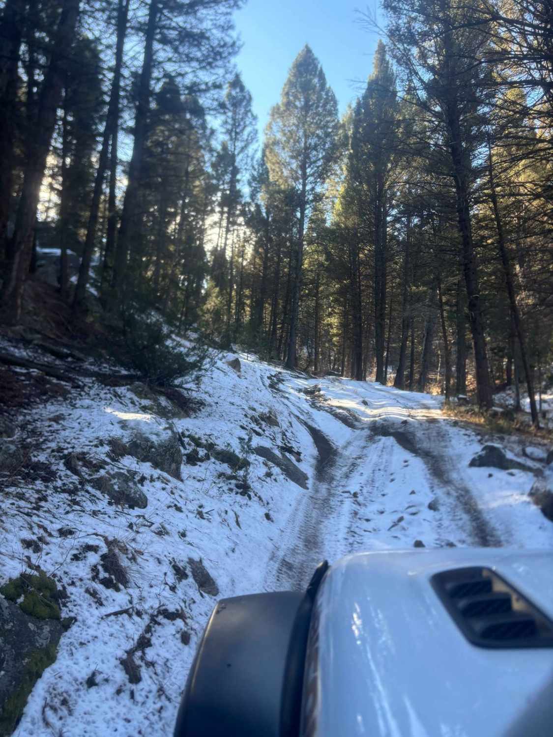
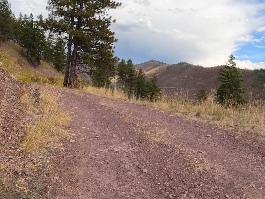
Trail Overview
This short but fun trail goes over a ridge top to connect two different areas. It starts with an easy creek crossing immediately if going West to East, and there are two easy creek crossings in total. This trail has a lot of ruts and erosion, with one rock obstacle that would be tight with an entirefull-sized rig, but it is not impossible. There are multiple camping areas, with a few down low to get out of the wind if needed or a few up at higher elevations with views for miles.
Photos of North Beaver Creek

Difficulty
Most of the difficulty is due to ruts and erosion and one rock obstacle that can be tricky when snow covered and icy. There are a couple of narrow brushy spots that could cause Montana pin stripes but nothing too bad.
Status Reports
North Beaver Creek can be accessed by the following ride types:
- High-Clearance 4x4
- SUV
- SxS (60")
- ATV (50")
- Dirt Bike
North Beaver Creek Map
Popular Trails
Drop Tube Part 1
Teepee Point Vehicle Access
Corral Creek Rd 2146
Second Creek 283 - East Fork Johnson 7882
The onX Offroad Difference
onX Offroad combines trail photos, descriptions, difficulty ratings, width restrictions, seasonality, and more in a user-friendly interface. Available on all devices, with offline access and full compatibility with CarPlay and Android Auto. Discover what you’re missing today!