Noname Trail
Total Miles
0.8
Technical Rating
Best Time
Summer, Fall
Trail Type
60" Trail
Accessible By
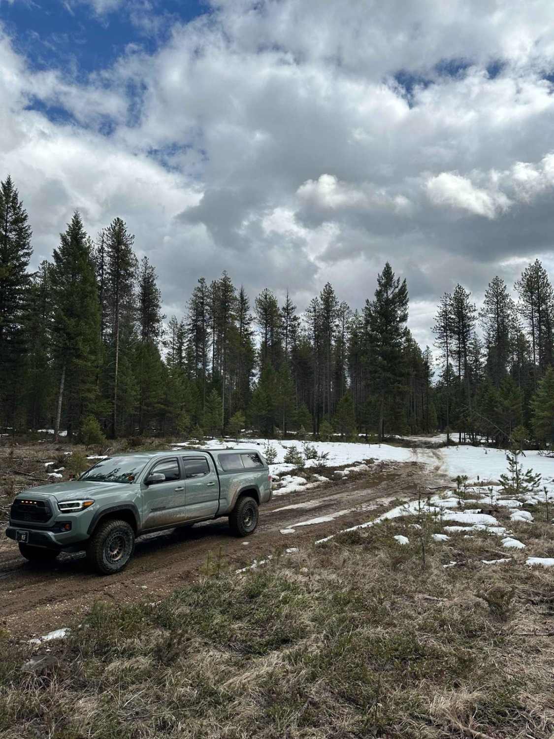
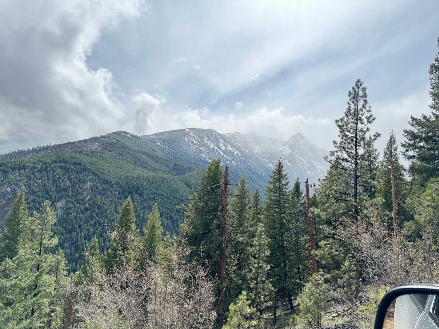
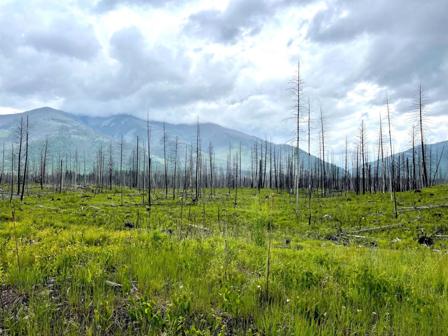
Trail Overview
This trail is an extension of FS 78574. At the end of FS 78574, the trail narrows dramatically, the grades steepen, and there are several serious water crossings. This trail should not be attempted in any vehicle other than a SXS, ATV, or motorcycle. Extreme caution should be exercised in the spring when the water crossings are deep and swift.
Photos of Noname Trail


Difficulty
While there are some steep grades and deep (12-16 inch) ruts to be navigated on this trail, the real technical challenges are the water crossings. In the spring and early summer, water depths reach two feet, and the current is moderately swift. Entry into and out of the crossing can involve ledges of 18 inches or more. In the stream, the base is coarse granular sand, and it is easy to spin out. Persons attempting these crossings should have advanced technical skills.
Status Reports
Noname Trail can be accessed by the following ride types:
- SxS (60")
- ATV (50")
- Dirt Bike
Noname Trail Map
Popular Trails

Tepee Creek- 13313 (Southern Portion)
The onX Offroad Difference
onX Offroad combines trail photos, descriptions, difficulty ratings, width restrictions, seasonality, and more in a user-friendly interface. Available on all devices, with offline access and full compatibility with CarPlay and Android Auto. Discover what you’re missing today!