Nemote Creek to Stark Lookout
Total Miles
14.4
Technical Rating
Best Time
Summer
Trail Type
High-Clearance 4x4 Trail
Accessible By
Trail Overview
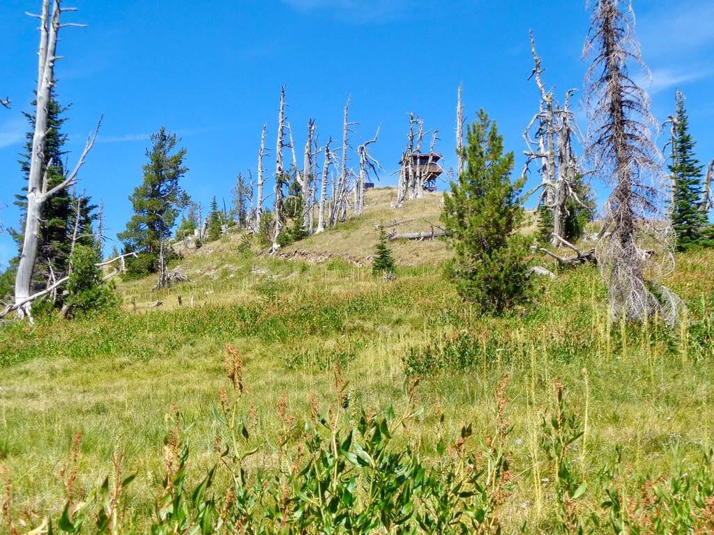
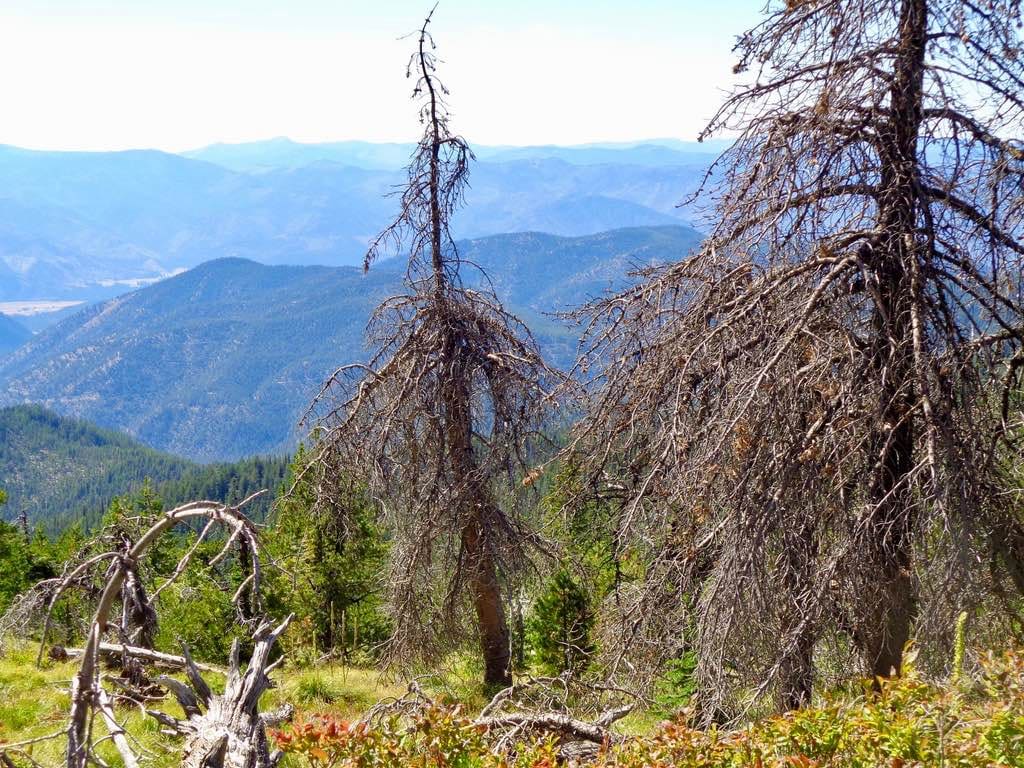
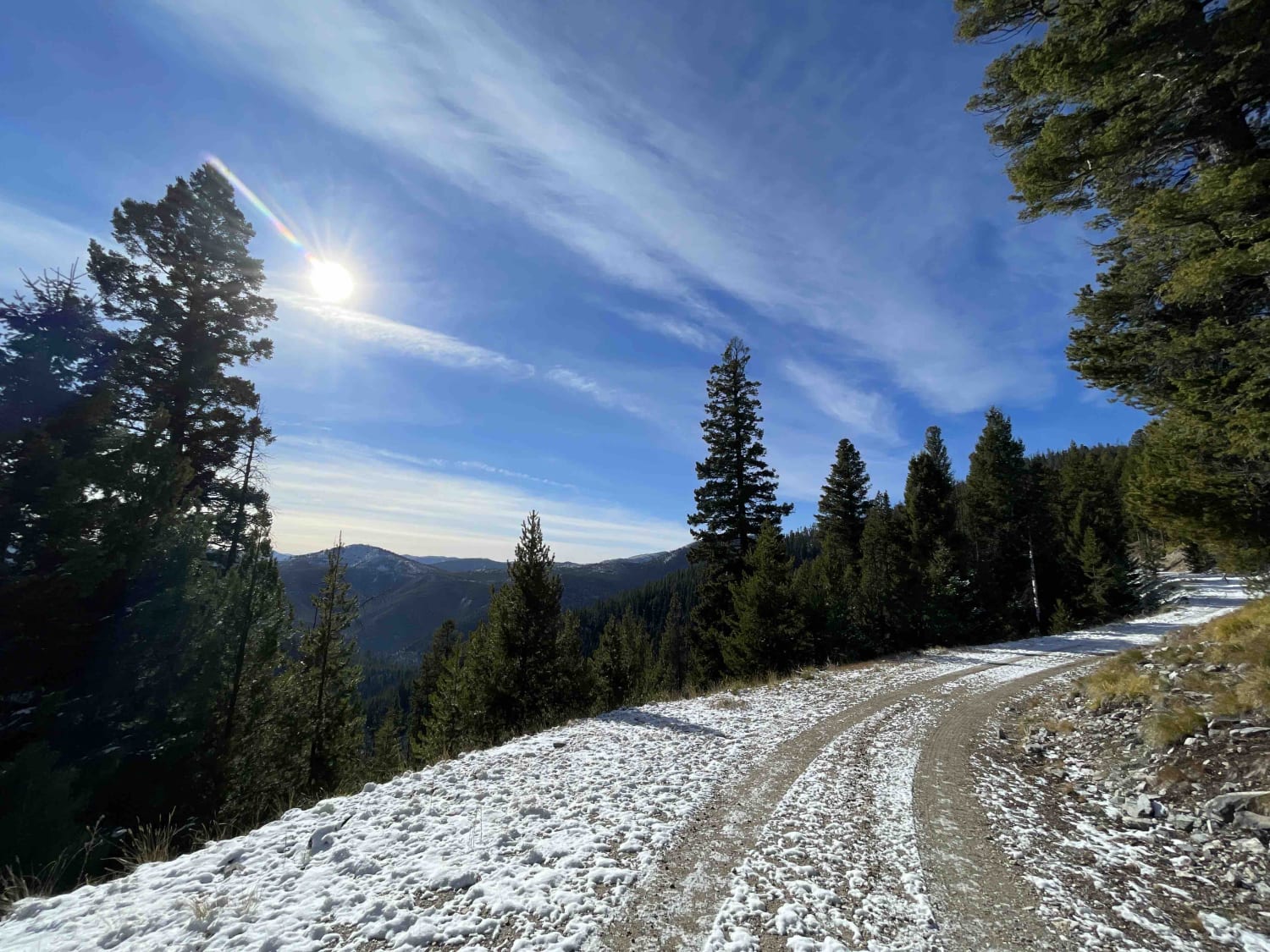
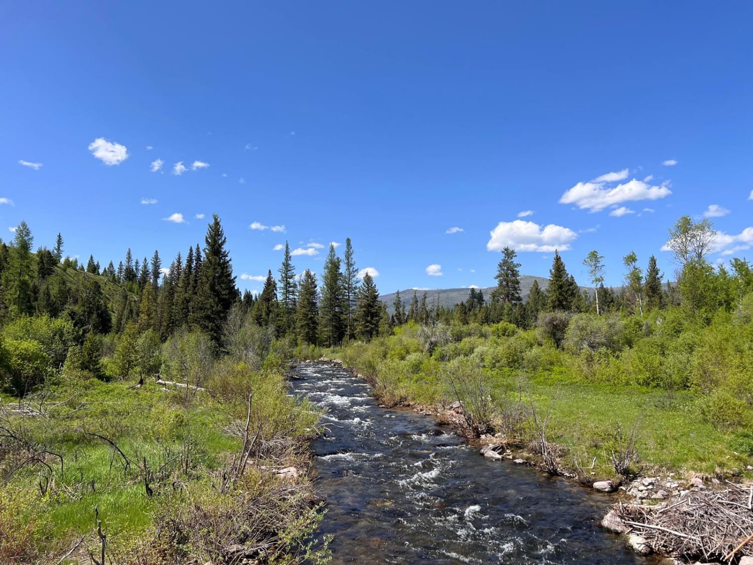
The route begins on a two-lane gravel road that eventually works its way down to one. The road can be dusty if it has been dry, but really a great ride if it rained the day before. The route begins at an altitude of 3100' and makes its way to 7300' at the tower base. There is a gate owned by the fire service that is only open from 05/02 - 09/14 in the summer months. There is a actual Fire Tower at the end of the route that is manned full time when it is open. There is only room for 3 or 4 UTVs to park at the base of the tower. Snow can still be on the ground up to July because of the high altitude where the tower is located. On a clear day, you can see for miles from the location of the tower.
Photos of Nemote Creek to Stark Lookout
Difficulty
This is a very well-kept route by the fire service as there is actually a Fire Tower, that needs to be manned during the summer months. The route is mostly gravel with loose rock in some areas. I wouldn't drive a larger truck to the summit, as there is no room to park or turn around larger vehicles.
Status Reports
Nemote Creek to Stark Lookout can be accessed by the following ride types:
- High-Clearance 4x4
- SxS (60")
- ATV (50")
- Dirt Bike
Nemote Creek to Stark Lookout Map
Popular Trails
Gold Creek to 7 Mile Bridge

Park Creek Road - FS 607
The onX Offroad Difference
onX Offroad combines trail photos, descriptions, difficulty ratings, width restrictions, seasonality, and more in a user-friendly interface. Available on all devices, with offline access and full compatibility with CarPlay and Android Auto. Discover what you’re missing today!