Bear Creek
Total Miles
2.0
Technical Rating
Best Time
Fall, Summer, Spring
Trail Type
Full-Width Road
Accessible By
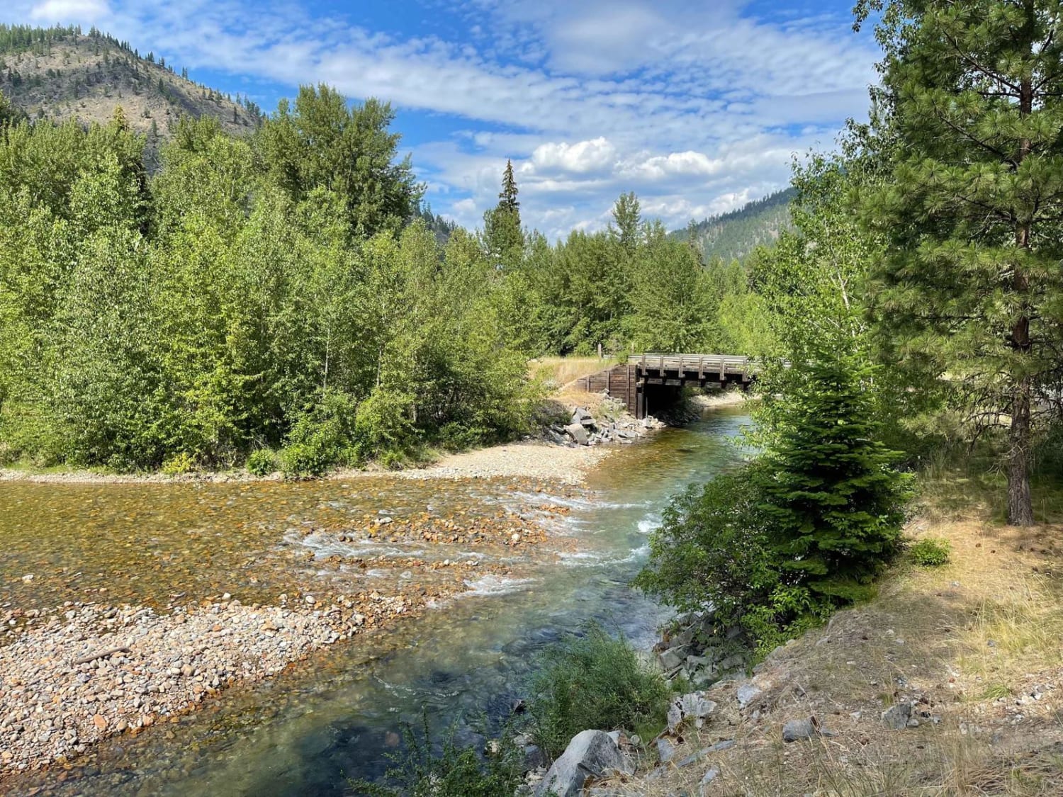
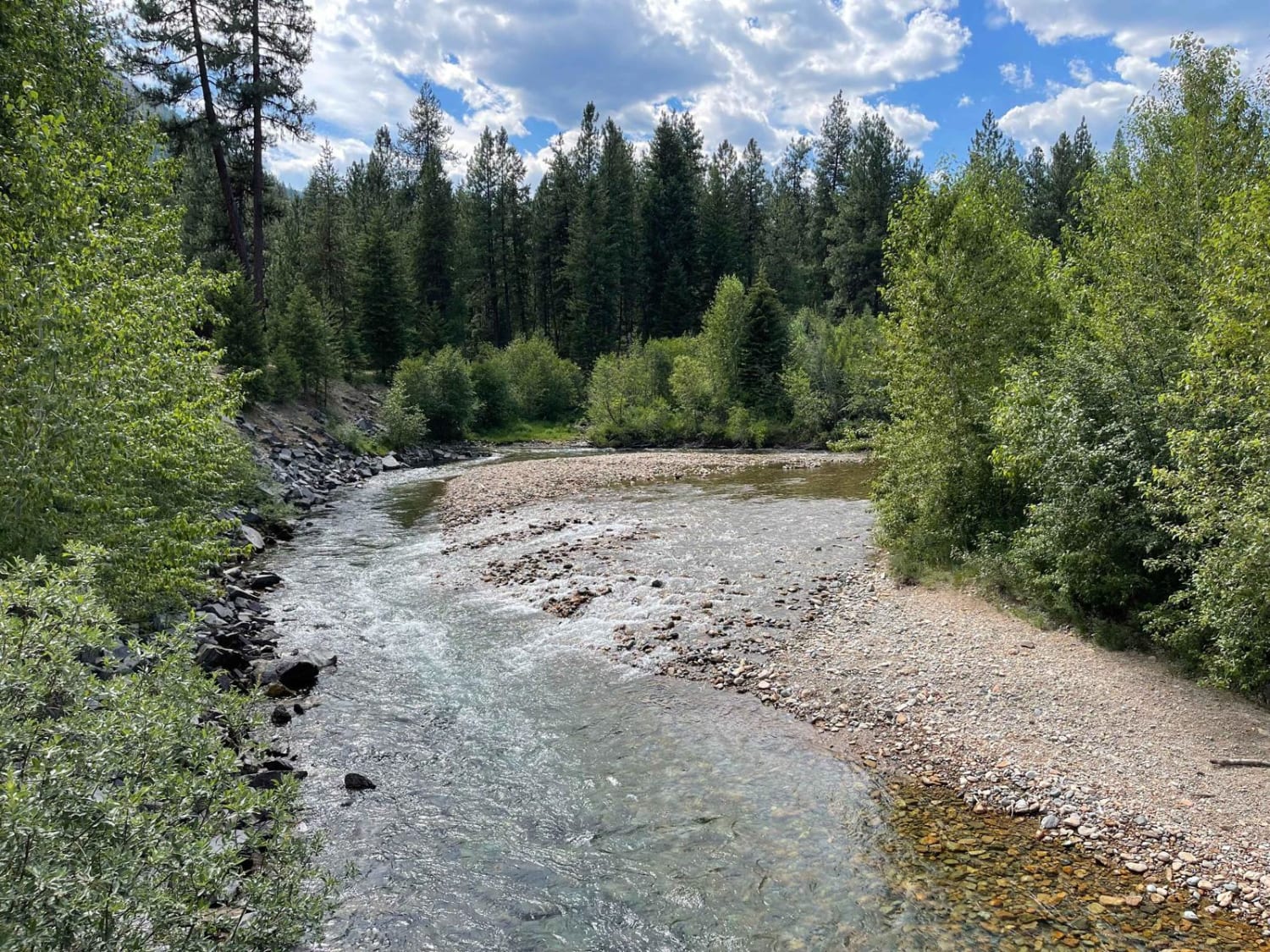
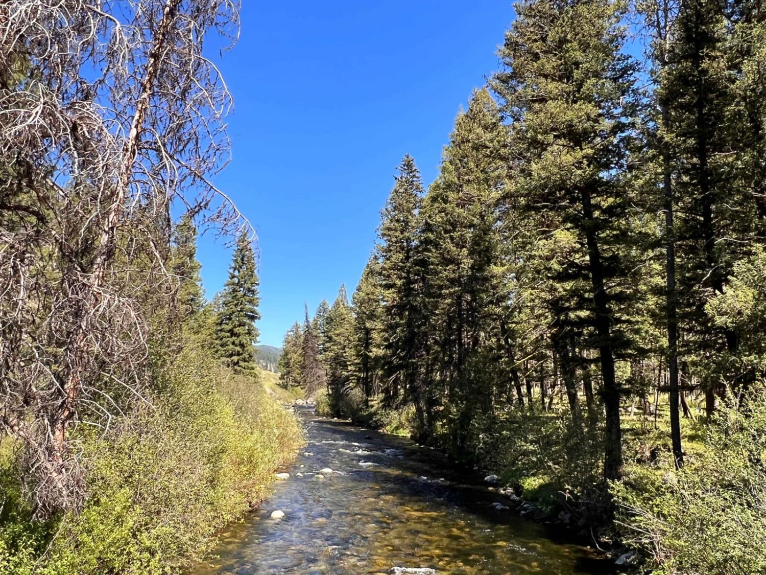
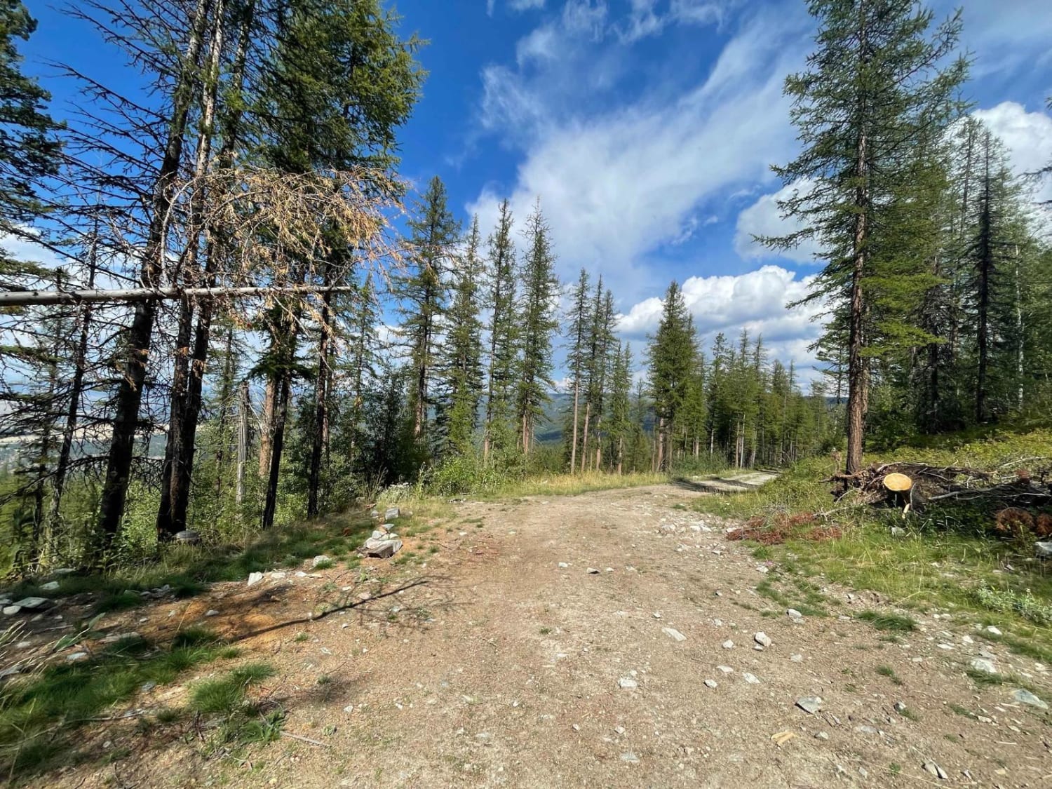
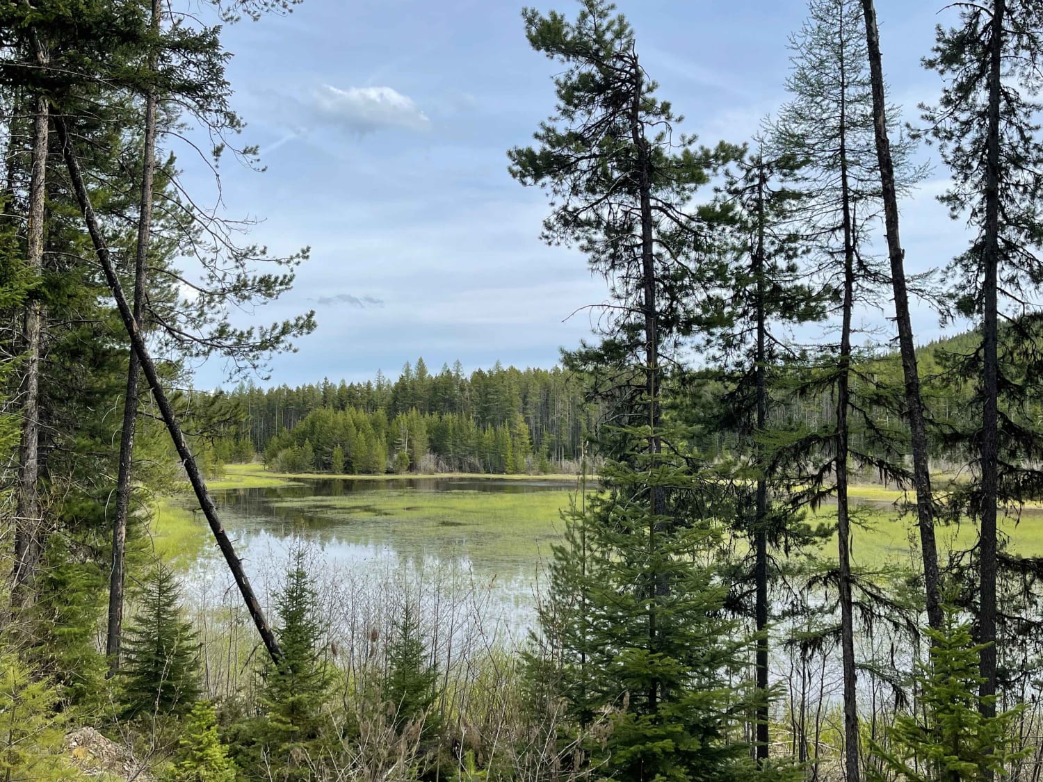
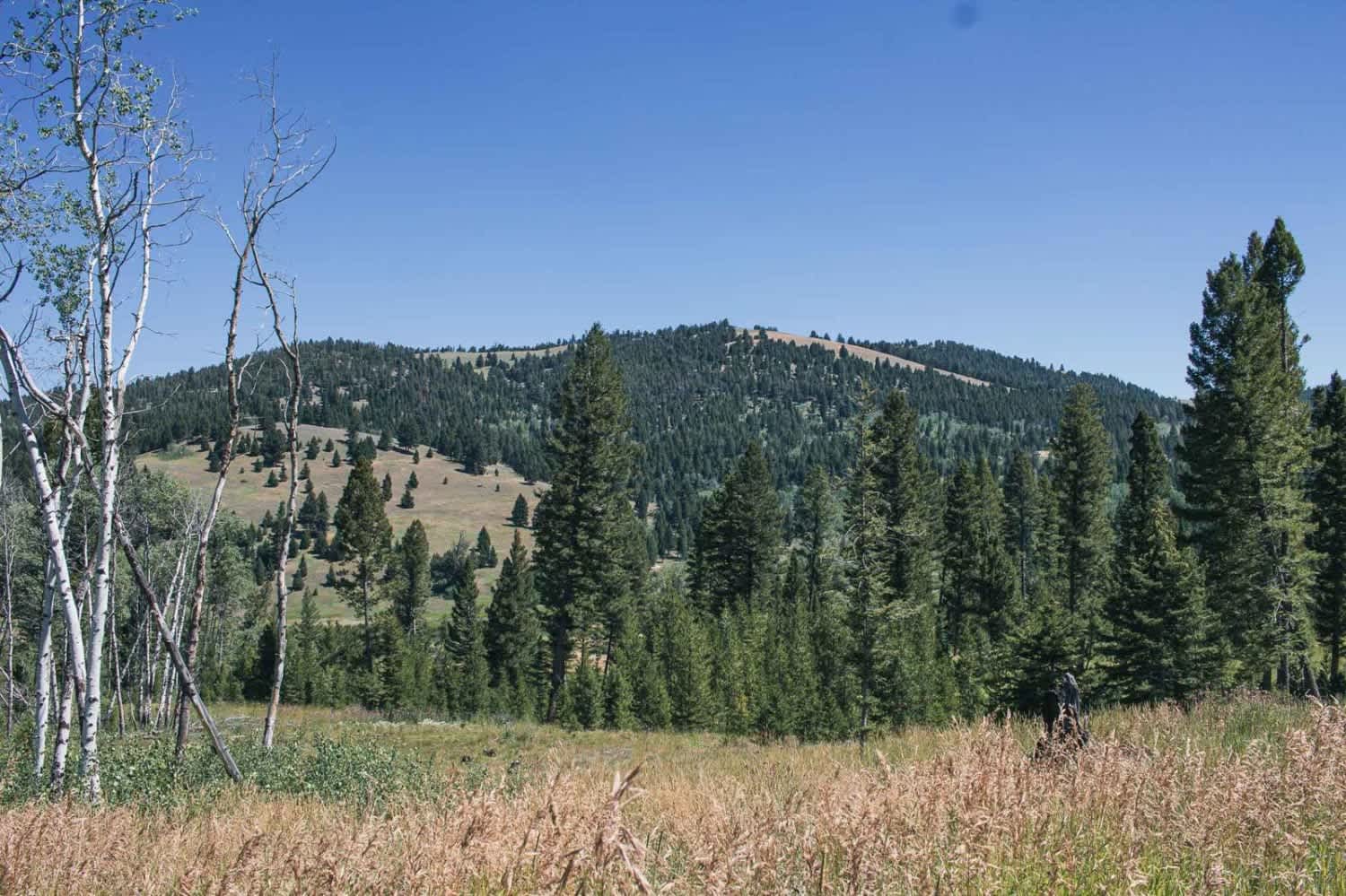
Trail Overview
This short out and back feature a few nice large established campsites with a 14-day limit, fire rings and picnic benches, a little pit toilet, and good river access. There are plenty of offshoots to make camp at, and the road itself is graded but still rocky. It gets narrow the further you go, and you'll have to make room for oncoming traffic. The trail ends at a locked gate where no motorized access is allowed. Be "bear aware" back here; there are lots of them. There is no Verizon cell service in this area.
Photos of Bear Creek
Difficulty
Mostly easy with some rocks and boulders and narrows with tight corners.
Status Reports
Bear Creek can be accessed by the following ride types:
- High-Clearance 4x4
- SUV
- SxS (60")
- ATV (50")
- Dirt Bike
Bear Creek Map
Popular Trails
Swift Creek Trailhead
South Ambrose
Lindbergh to Meadow and Bunyan Lake
Treasure Mountain
The onX Offroad Difference
onX Offroad combines trail photos, descriptions, difficulty ratings, width restrictions, seasonality, and more in a user-friendly interface. Available on all devices, with offline access and full compatibility with CarPlay and Android Auto. Discover what you’re missing today!